Home
Amazon Hollow Ski/Snowshoe, 18 January, 2015
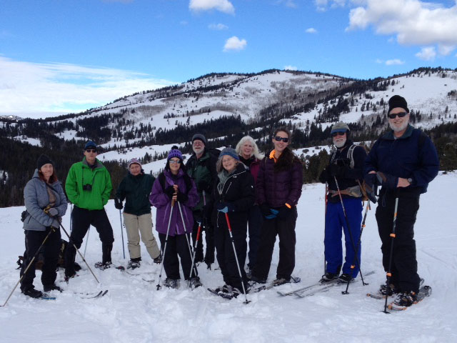
We loaded into four cars for the drive up Logan Canyon. "Shuttle" cars were dropped off at Amazon Hollow and we went another mile or so to the DOT sheds, arriving about 11:15. Diane joined us there, for a total of 11 participants: skiers Deanna, Dave W and Dave P and snowshoers Diane, Alexi, Tim, Jeanne, Ron, Leslie, Monika and Dan (the leader).
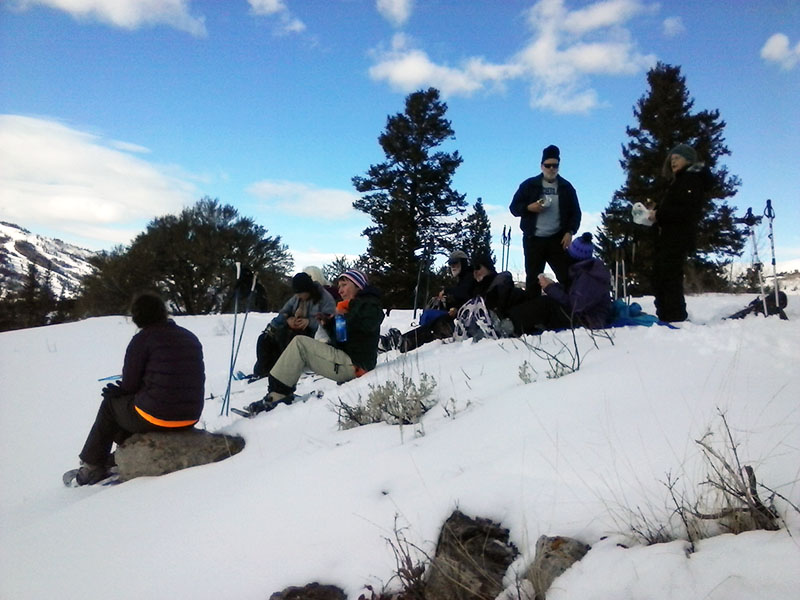
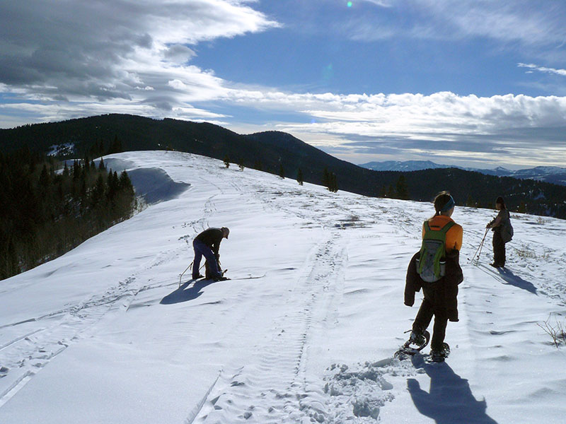
About 11:30 we headed up the hill overlooking the North Fork Amazon Hollow and continued to the northeast. Monika and the three skiers went down to investigate a sink and we all assembled for lunch on a rocky outcropping overlooking the depression. After lunch Tim, Jeanne, Ron, Leslie, and Dianne returned to the DOT sheds. The others continued to the northeast and descended into the Hollow. From there we climbed to the ridge overlooking the slopes of Beaver Mountain ski area to the west. The wind was howling as we traveled south on the ridge but the temperature was fairly warm and the sun shone brightly. From the southern end of the ridge we descended to the highway, following the path of an old road. We headed down the canyon after a short wait to retrieve one of our cars and and got back to Logan about 4:00.
Trip Summary:
- Left the DOT sheds about 11:30
- Lunch overlooking a sink, 12:30 - 1:00
- Back to the highway about 3:00 and Logan about 4:00
- Mostly sunny and warm, but windy on the ridges
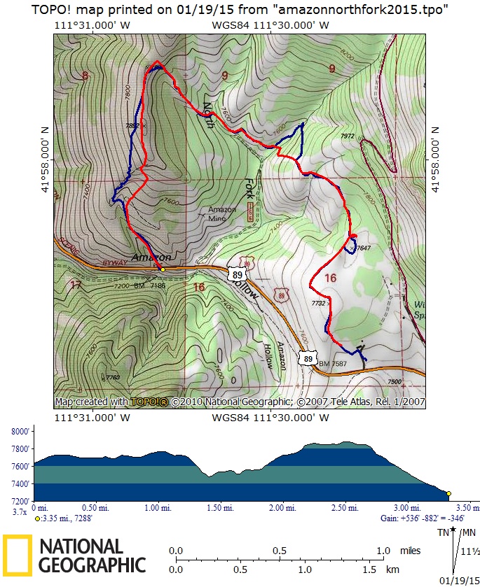
- 3 1/2 miles with over 500 feet of elevation
Thanks to Dan for narrative, Dan and Dave W for the GPS work, Dan, Dave P, Dave W and Tim for photos
|
|
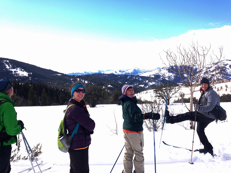
| On the ridge with North Fork Amazon Hollow in the background | |
 |
|
| On the ridge east of North Fork Amazon Hollow, with Mt. Naomi in the distance | |
|
|
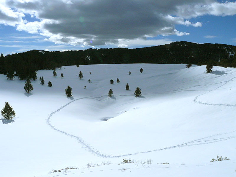
Ski tracks in the sink |
Lunch overlooking the sink |
 |
|
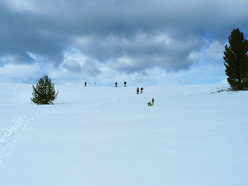
| Climbing the ridge west of North Fork Amazon Hollow | |
 |
|
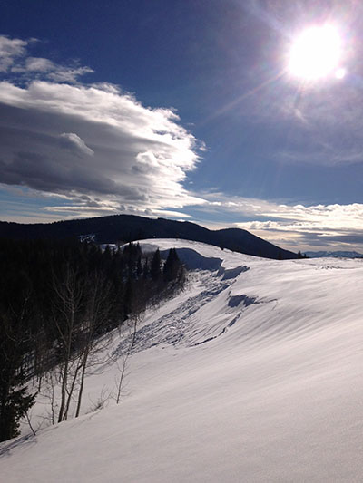
| A cornice on the ridge west of North Fork Amazon Hollow | |
|
|
On the windy ridge west of North Fork Amazon Hollow |
|
|
|
| A snowshoer's GPS track (red) shows 3 1/2 miles with more than 500 feet of elevation (a skier's track is shown in blue).. | |
You can also look at our route using Google Earth or the various map and aerial views of Google Maps |
|