Home
Bear Lake Overlook Ski/Snowshoe, 30 January, 2022
A large group of Cache Hikers made the long trip up US-89 from the hazy and cold air of Cache Valley to the clear skies, sunshine and warmer temperatures near the Bear Lake Summit. In the past we could park at the summit and go up the Limber Pine Trail, but recent parking restrictions encouraged us to begin at the Bear Lake Overlook Rest Area. The additional parking at the overlook was an advantage for this trip since the current COVID surge was not conducive to carpooling. We planned to follow the "best" route from the Overlook to the Limber Pine based on our experience of several exploratory trips in prior years. This area has been reserved for non-motorized winter recreation by the Forest Service.
After visiting the rest area facilities and donning skis and snowshoes, our group of seventeen humans and one canine started out about 11:00. There had not been a significant snowstorm for nearly a month so we were able to follow well-traveled cross-country ski and snowshoe tracks to Sunrise Campground. At the campground entrance we turned southwest, up an open area of moderately sloping terrain. About a half mile from our start we came to our cue to turn to the west, a fenceline that runs near the Old Limber Pine. We followed a route a bit south of the fence line to avoid heavier timber and steeper slopes, then emerged from the trees into an open area less than 1/4 mile from our destination.
After giving the Old Limber Pine a "tree hug", we went west to enjoy lunch overlooking Middle Sink and the Sinks Winter Trail. After our lunch break, six skiers and a snowshoer decided to take a longer route back. The larger group returned the same way, for 2.6 miles and about 350 feet of ascent. The others traveled about 3.2 miles with about 370 feet of ascent. Most participants waited at the parking area until everyone had returned.
We all agreed, it was a good trip, with pleasant weather and surprisingly good snow for the skiers.
Trip Summary:
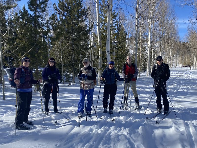
- Seventeen
humans and one canine: cross-country skiers Dave
W. (leader), Dave P., Susan, Caroline, Chris, Shelly,
Eduardo, Deanna and Teresa; snowshoers Jane,
Kathy, Michelle, David, Laurel, Brent, Keith, and Dan;
and Zinnia (dog).
- Drove 34 miles up Logan Canyon to the Bear Lake Overlook Rest Area
- Started out
about 11:00, 12:30 at the old tree, lunch 12:40 to
1:15, the first group back at the parking area at 2:15
- Sunny skies,
calm winds and comfortable temperatures (the mid 30s).
- Our GPS
track shows 2.6 miles with about 350 feet of ascent
(the smaller group traveled about 3.2 miles with 370
feet of ascent)
Thanks
to Dave W. for the narrative, photos and GPS data,
Michelle, Jane, Teresa, Brent, Deanna and Susan for
photos and Dan for photos and GPS data.
 |
||
| Starting out at the Bear Lake Overlook Rest Area | ||
 |
||
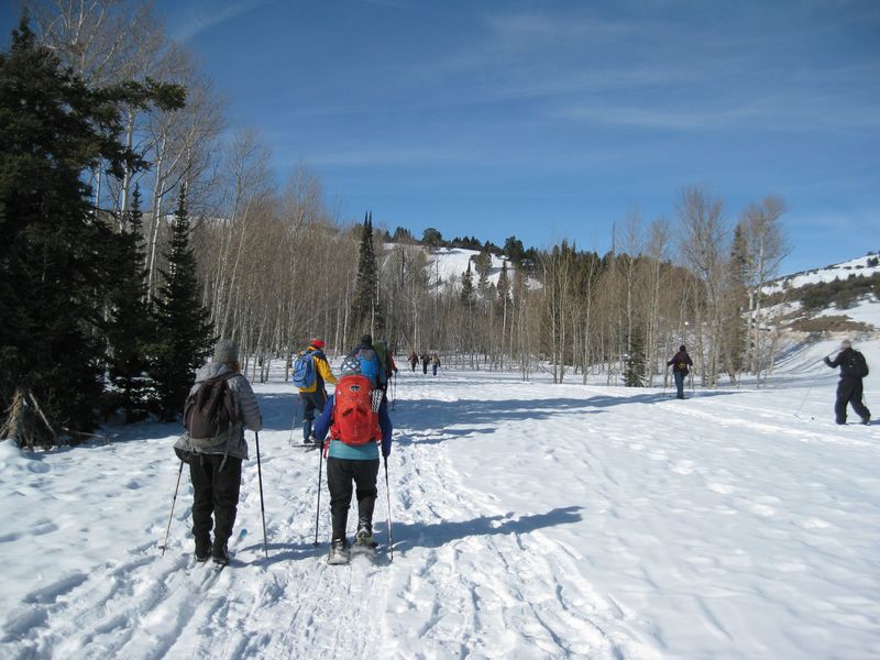
| Following
tracks left by others as we headed toward the
campground |
||
 |
||
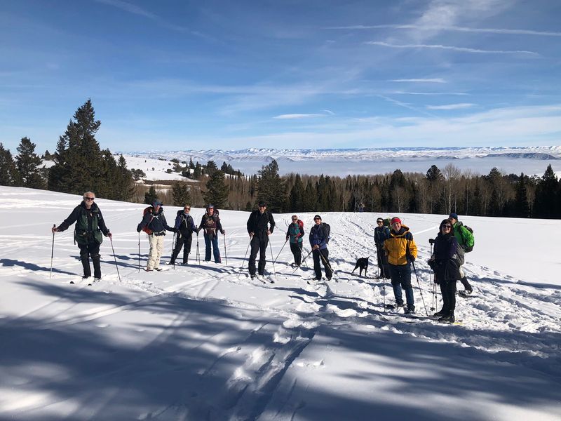
| We ascended the hill southwest of the campground, with a foggy Bear Lake in the rear | ||
 |
||
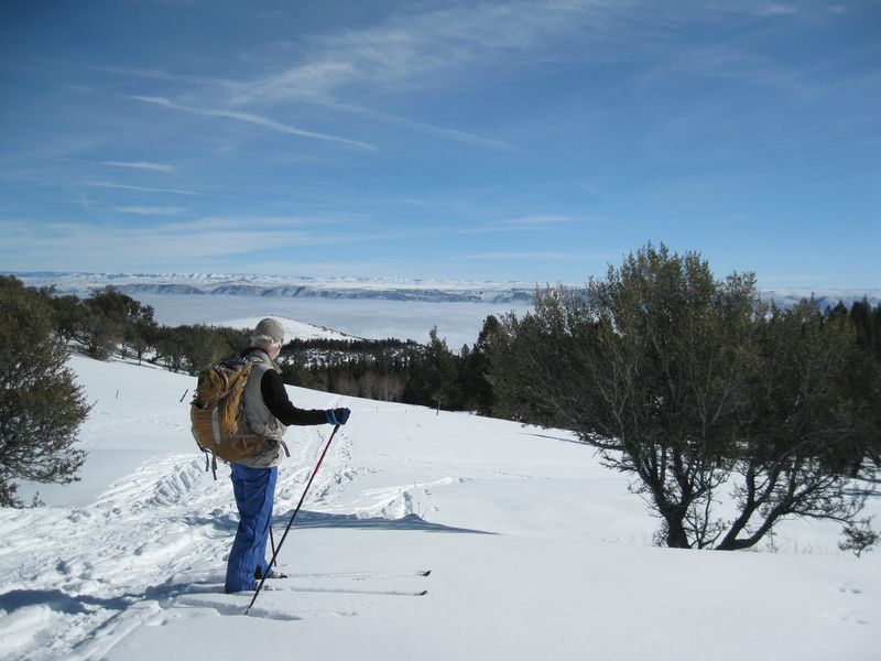
| Looking back
toward Bear Lake from a grove of mountain mahogany
trees |
||
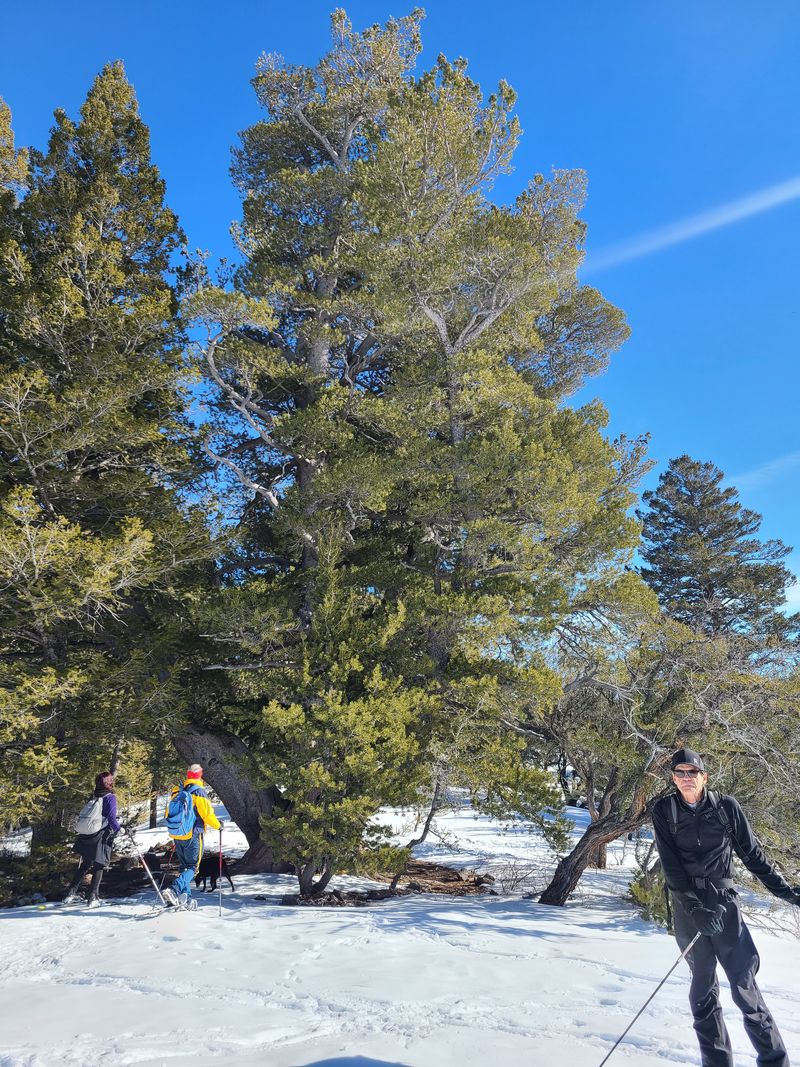 |
||
| The Old Limber Pine |
||
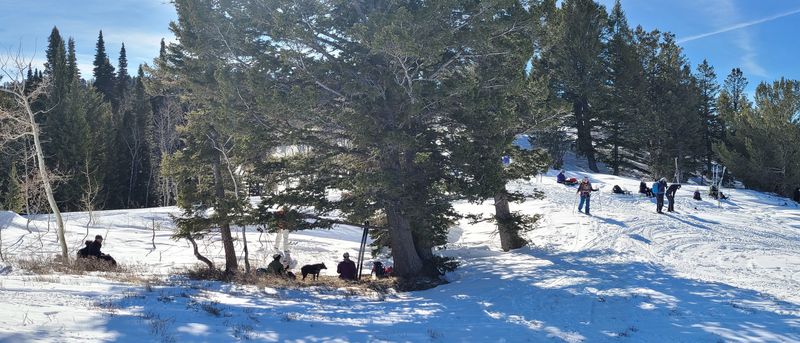 |
||
| Our lunch spot overlooking Middle
Sink |
||
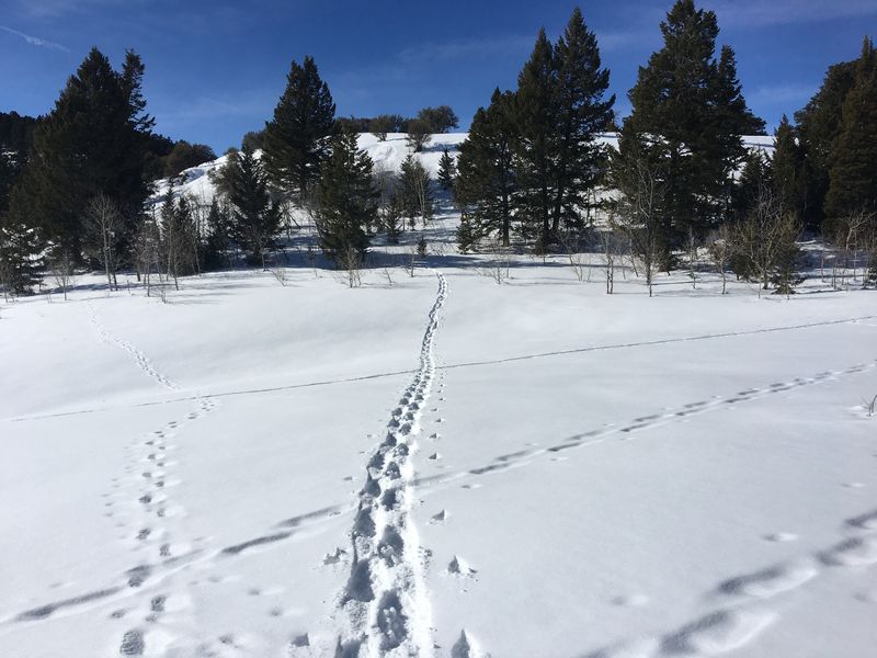 |
 |
|
| The smaller
group, mostly, skiers (right) returned by way of
this snowy hill (left) |
||
 |
 |
|
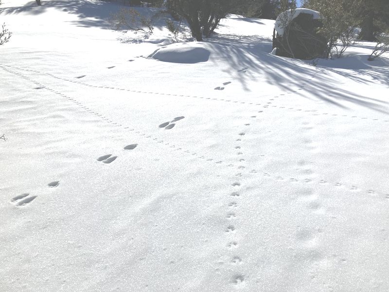
| Animal tracks near the campground |
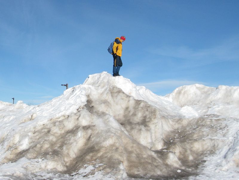
Snow piles at the Overlook
parking area |
|
 |
||
|
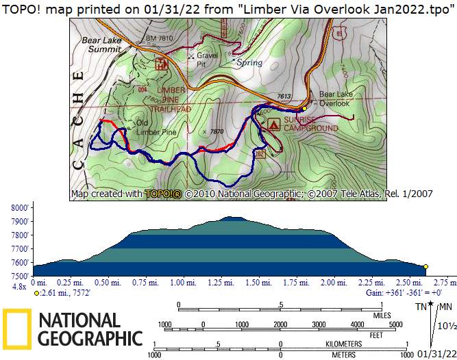
Our GPS track (red) shows about 2.6
miles and 350 feet of ascent. The blue line
shows the route take by the smaller
group, 3.2 miles and
about 370 feet of ascent. You can look
at our route using Google Earth or download our
GPS file.
|
||