Home
Beirdneau Peak, 1 August 2021
Four
hikers accepted the challenge of a strenuous hike on a
nice day: David, Michelle, Dave P, and Ralph
(leader). It was a cool day for early August, and
we hiked under cloudy skies which we were thankful
for. The sky was slightly hazy, but the views were
amazing, nevertheless. The wind was variable during the
day, but we ate lunch at the peak with no wind.
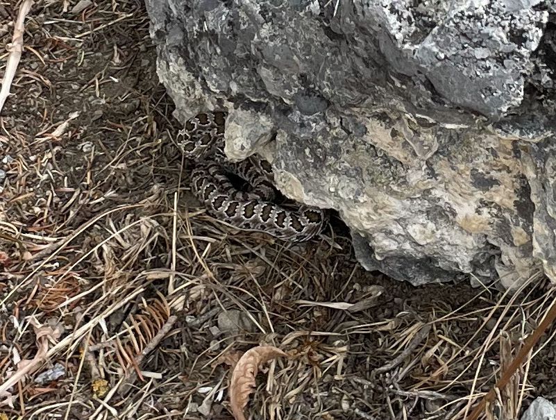
Along the way we encountered a small rattlesnake who was
not happy to see us. As we finished lunch the
weather become threatening as thunderstorms built.
We descended the ridge rather quickly stopping to put on
rain gear as the rain began to fall. Fortunately,
the lightning was not close enough to require us to take
shelter as we hurried down the ridge.
Trip Summary:
- Participants:
David, Michelle, Dave P, and Ralph (leader).
-
Drove
7 miles to the Preston Valley Trailhead in Green
Canyon
-
Started
hiking about 8:30, with lunch 12:30 - 1:00
-
Back
at the trailhead at 3:30
-
Cool
temperatures and hazy skies
- Our GPS track shows about 9.6 miles and 3300 feet of ascent/descent
Thanks to Ralph for the narrative, photos and GPS data, Dave P. and Michelle for photos and David for the video.
 |
||
| At the Preston
Valley Trailhead, the beginning of the Beirdneau
Trail |
||
 |
||
| Hiking up the
Beirdneau Trail |
||
 |
||
| Our first view of Beirdneau
Peak |
||
 |
||
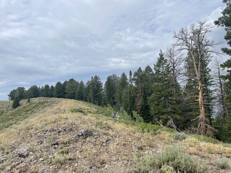
| On the ridge west of Beirdneau Peak |
||
 |
 |
|
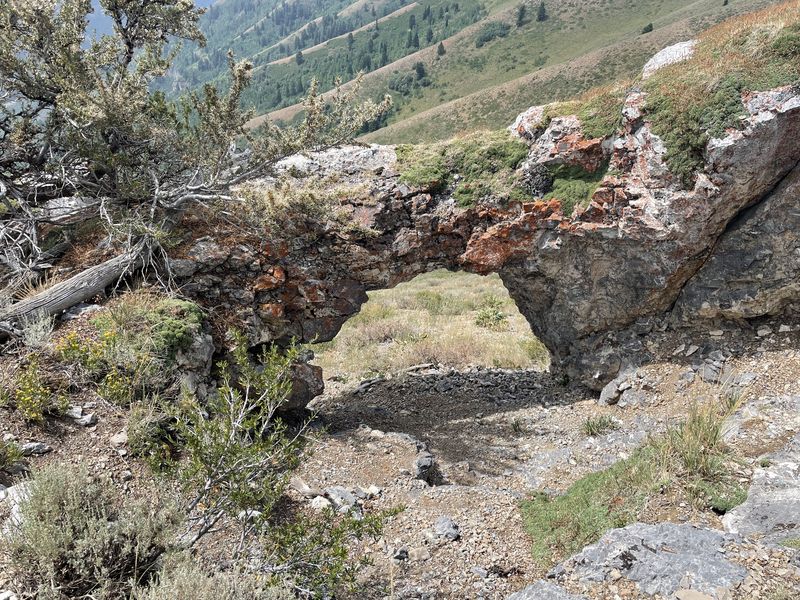
| A rock arch not far from
the peak |
A cairn marked the summit | |
 |
||
| A panoramic view from Beirdneau
Peak |
||
 |
 |
|
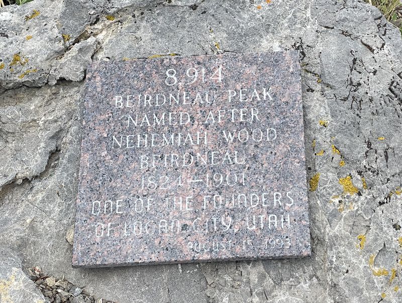
| 8914 foot elevation |
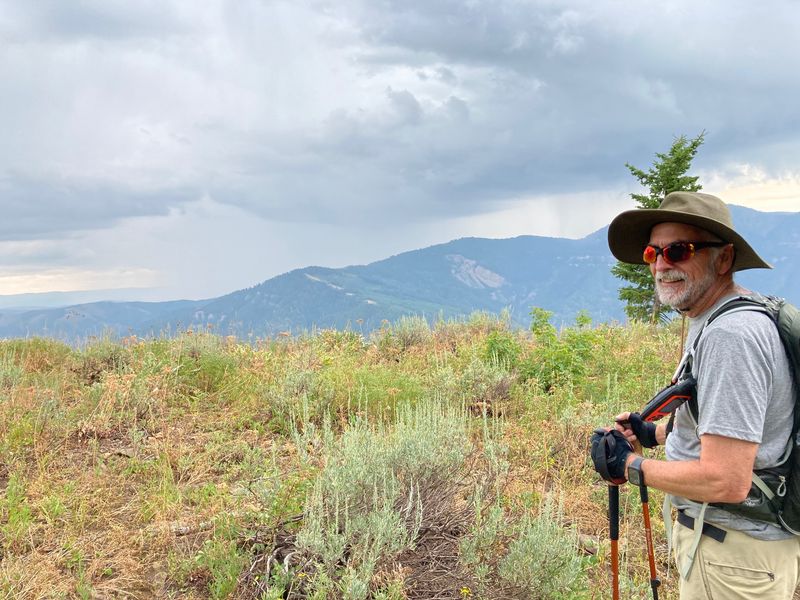
Will we make it off the ridge
before the storm hits? |
|
 |
 |
|
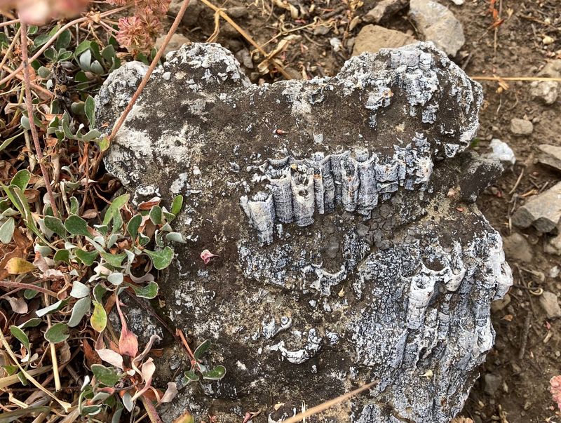
| Fossil corals | Paintbrush |
|
 |
 |
|
| Buckwheat |
Sheepmoths |
|
 |
 |
|
| A small rattlesnake tried to hide under this rock | Beirdneau
Peak video |
|
 |
||
|
Our GPS track shows about 9.6
miles and 3300 feet of ascent.
You can look at our route using Google Earth or download our GPS file. |
||