Home
Beirdneau Ridge, 4 October, 2026
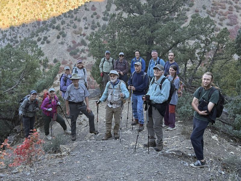
Sixteen hikers came out for a warm and sunny October hike: Gene, Ralph, Brent J, Lydia, Josh, Ocean, Alex, Susan, Jim, Deb, Richard, Bruce, Sue, Jane, Kathy, and Dave P (leader). The road up Green Canyon to the trailhead was rocky but OK for cars.
The trail starts up right away and maintains a steady climb to the ridge top. The north-facing aspect made it shaded and the climb easier. Four geologic formations, formed when the area was a shallow seabed, were identified during the climb: dark-gray massive Hyrum Dolomite, yellowish shaley Beirdneau Formation, gray cliff-forming Lodgepole Limestone (AKA the China Wall), and tan sandy Little Flat Formation on the ridge top. The age of these formations ranges from 380 to 330 million years ago. The trail was in good condition, but a horse had apparently walked on the outside edge and broken through in many places, and soil-slump dips were encountered near the top. We passed 5 adults, one toddler, and 2 dogs on the trail.
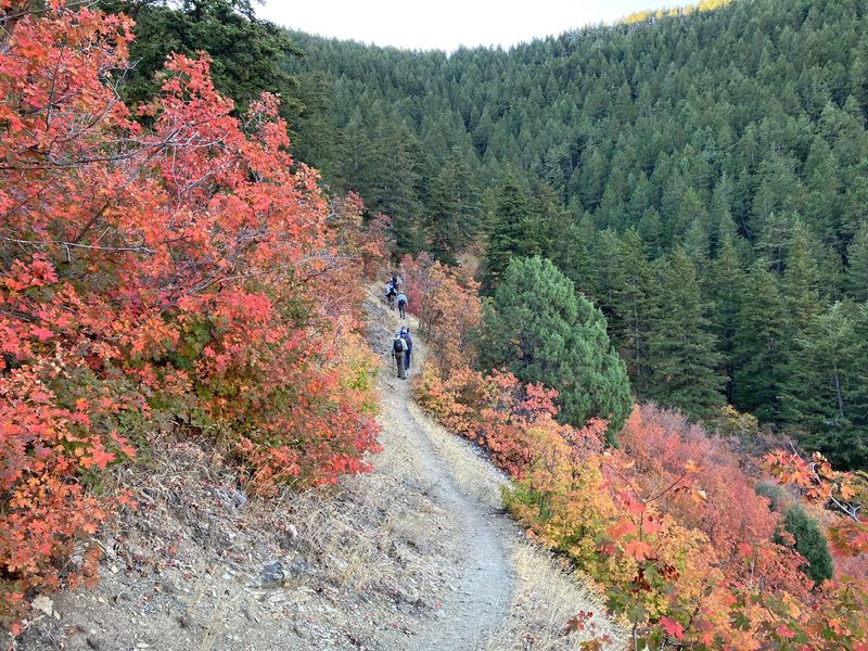
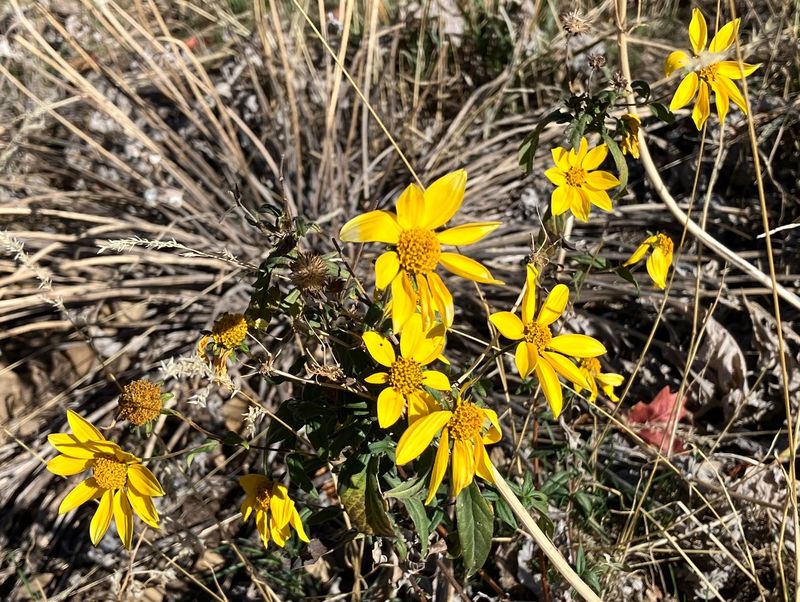
A group of 3 grouse were seen and a Townsend’s solitaire. The fields of mule’s ears were brown but goldeneye and fleabane were still blooming. The maples were glorious red and there were several plants with yellow leaves, like thimbleberry, dogbane, and aspen.
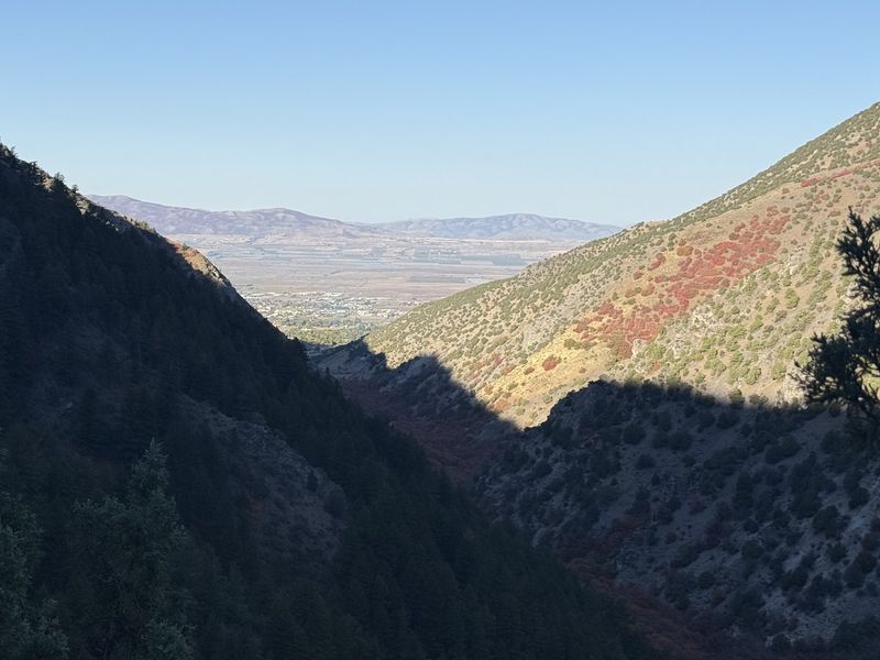
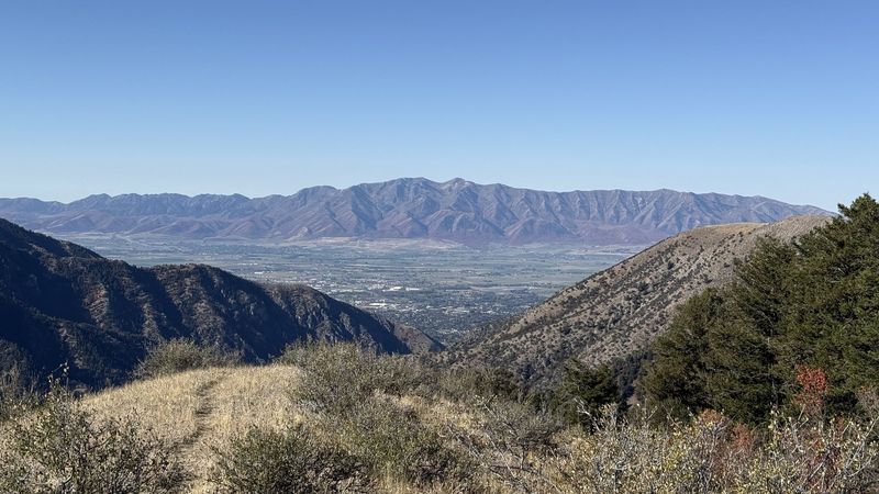
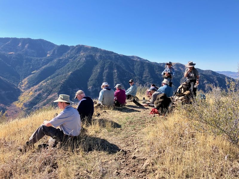
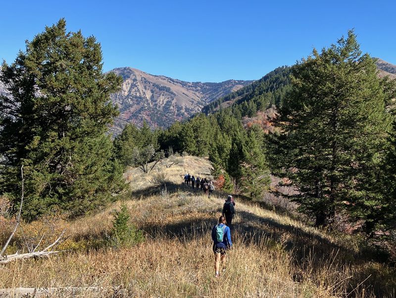
After reaching the ridge we decided to follow it westward to the overview of Cache Valley. It was only 10:30 but we took a half-hour there for a snack and rest. We were surprised to see two Steller jays flying from bush to bush. The panorama included the Wellsville Mountains, Logan Peak, Spring Hollow, Logan Canyon, Beirdneau Peak, and upper Green Canyon.
We returned the way we came and got back to the trailhead at 12:15.
Trip Summary:
- Participants: Gene, Ralph, Brent J, Lydia, Josh, Ocean, Alex, Susan, Jim, Deb, Richard, Bruce, Sue, Jane, Kathy, and Dave P (leader).
- Left Logan about 8:05 am and drove 6.5 miles to the trailhead.
- Began hiking about 8:40 am, lunch at 10:30 – 11:00 am
- Back at the trailhead about noon and headed back to town.
- Great hiking conditions with sunny blue skies, mild temperatures (50s increasing to the 60s), and great fall colors.
- Hiked about
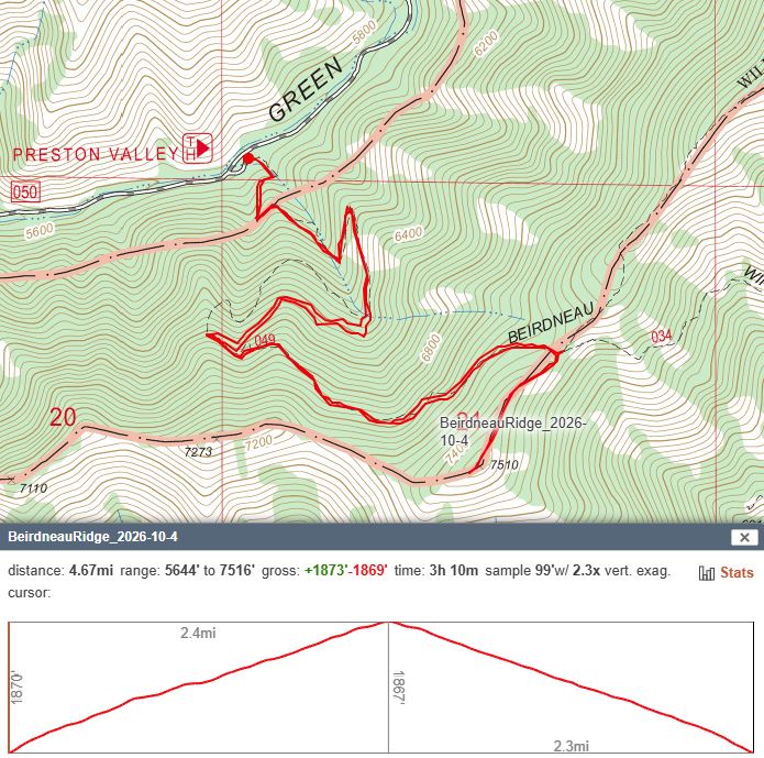
4.7 miles with about 1900 feet ascent and descent
Thanks
to Dave P for the narrative and photos, Jane for
photos, and Ralph for photos, web page work, and GPS
data.
 |
 |
||
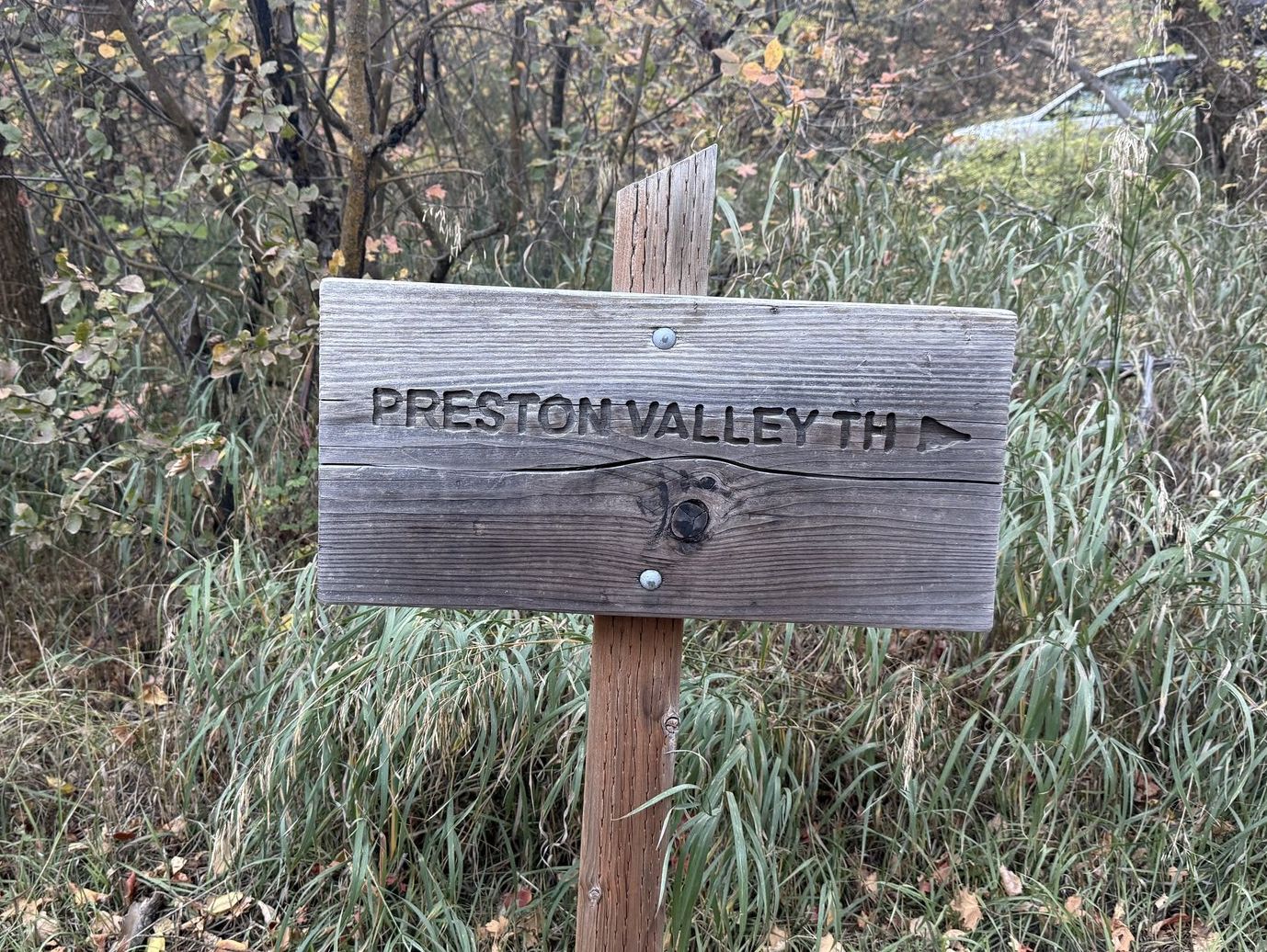
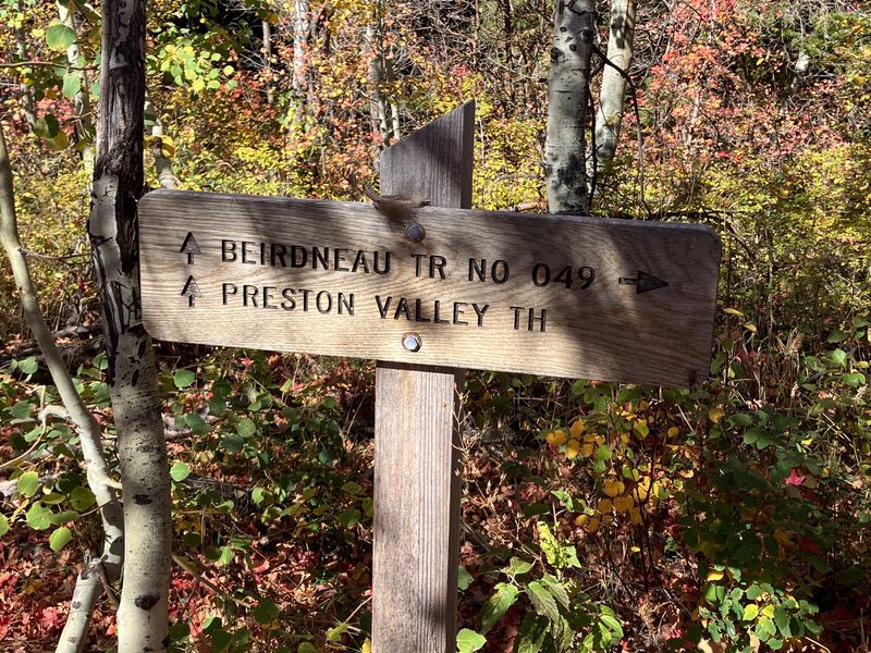
| The Preston Valley Trailhead turnoff
sign on Green Canyon Road |
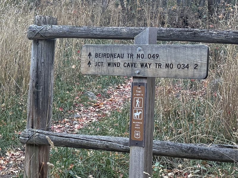
The Beirdneau Trail begins at the
Preston ValleyTrailhead and meets the Wind Cave
Way Trail in 2 miles |
||
 |
 |
||
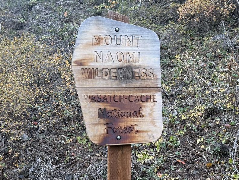
| This is a Wilderness trail, for horses and hikers only | Fall colors along the trail | ||
 |
|||
| The group gathered for a short break about a half mile from the trailhead | |||
 |
|||
| View of Cache Valley and North Logan, looking west from Green Canyon | |||
 |
 |
||
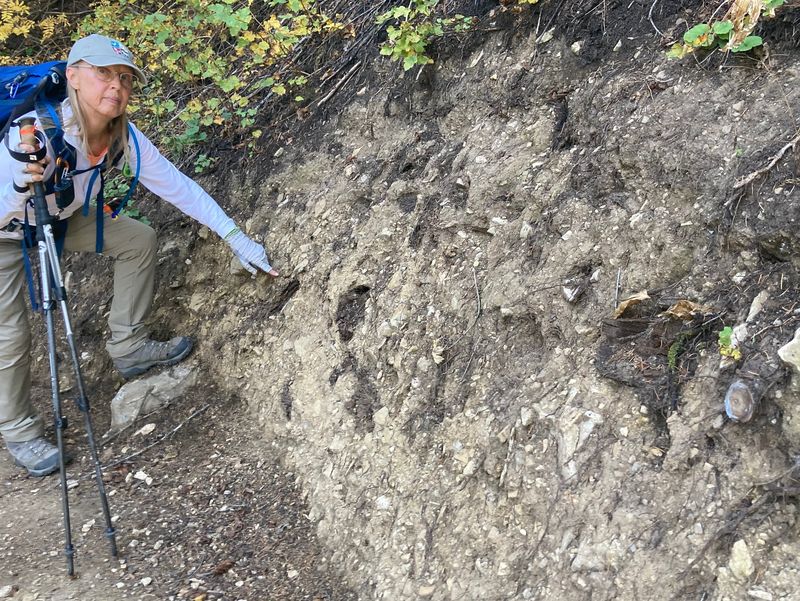
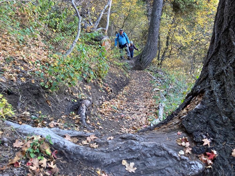
| Recent trail maintenance exposed old decayed tree roots in hillside soil | "Tread creep", where the walking
surface has slumped downhill between tread anchors
(trees, in this case), is a sign that more trail
maintenance is needed |
||
 |
|||
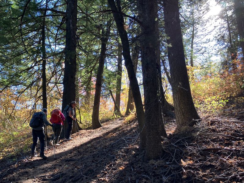
| Approaching
the ridge between Green Canyon and Logan Canyon |
|||
 |
|||
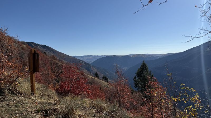
| At the ridge looking over Logan Canyon | |||
 |
 |
||
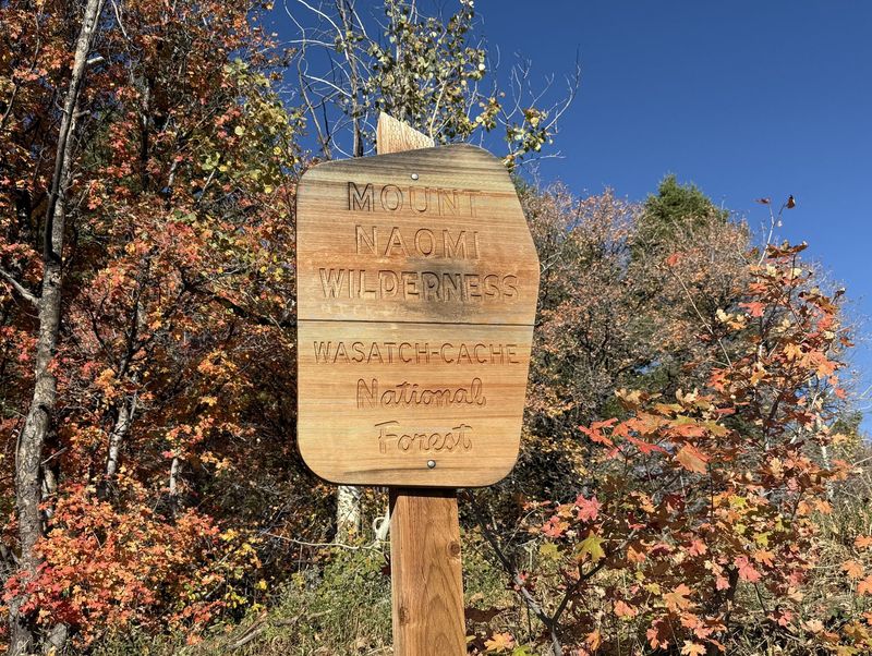
| Signs at the ridge are directed to hikers coming up from Logan Canyon on the the Wind Cave Way Trail | |||
 |
|||
| Looking southwest across Cache Valley to the Wellsville Mountains | |||
 |
 |
||
| Enjoying lunch with a view, from point 7510 (see map, below) | |||
 |
|||
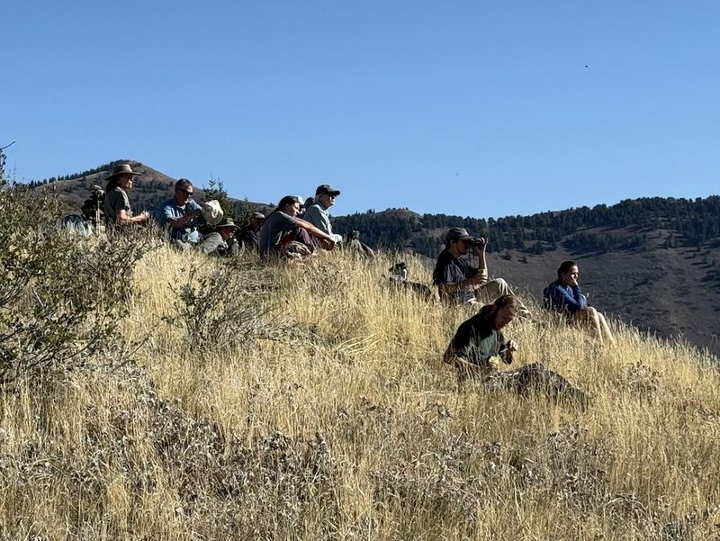
| On the ridge, hiking back to the trail after lunch | |||
 |
|||
| Showy goldeneye | |||
 |
|||
|
Our GPS track shows about 4.7 miles
with about 1900 feet of ascent.
|
|||