Home
Benson Railroad Bridge, 1 Feb, 2026
Eleven Cache Hikers enjoyed this easy walk around part of Cutler Reservoir: Sue, Bruce, Katie, Brent J, Brent L, Teresa, Christine, Kathy, Lynne, Jane, and Dave W (leader). Built and managed by PacifiCorp, this valley-bottom trail is always a pleasant walk, but it has extra appeal during fall and spring seasons when higher trails are muddy. The trailhead is located just west of the bridge on 3000 North, east of UT-23 and west of Benson. Most users know it as the Benson railroad bridge trail, but the PacifiCorp identifies it as "Benson Loop Nature Trail". The following brief description is from the PacifiCorp website:
- Located south of the Benson Marina
- Day use only
- Trail goes around a small bay via the old railroad causeway, across a walking bridge and back to Benson highway and to the Benson Marina
- Four-car parking area at west trailhead
On this day, our hikers enjoyed moderate temperatures, calm winds, mostly-sunny skies, and a mud-free trail. We were careful to avoid disturbing a bald eagle as it watched from a power pole while we quietly passed below on the old railroad grade. We also saw a red-wing blackbird, ducks, coots, Canada geese, and small un-identified birds that flitted through the woody vegetation growing along the railroad bed. Osprey nest structures were in the area, but of course this is not the season for osprey nesting.
Thanks
to Dave W for the narrative, photos and GPS data, and
Sue and Katie for photos.
 |
|||
| Heading south
from the trailhead |
|||
2026.jpg) |
|||
| A new kiosk at the trailhead, with information for PacifiCorp recreation area users | |||
 |
 |
||
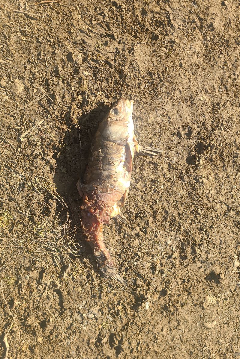
| A bald eagle kept a wary eye on us as we passed below | It looks like the eagle had been
enjoying a carp lunch |
||
 |
|||
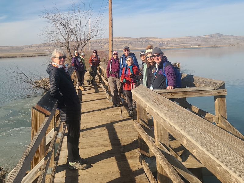
| PacifiCorp repaired the old railroad bridge, modifying it for use by hikers and anglers | |||
 |
|||
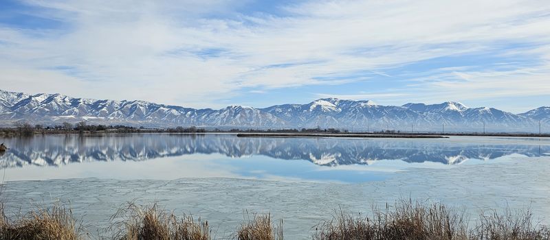
| Enough ice has melted from Cutler
Reservoir for a great reflection of the Bear River
Range |
|||
 |
|||
|
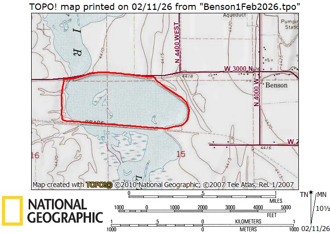
Our GPS track shows about 2.2 miles of
level hiking.
You can look at our route using Google Earth
or download our GPS file.
|
|||