Blacksmith Fork River Trail, 19 August, 2017
Trip Summary
- Participants: Dave W., Jane, Dave P., Jim, Nancy, Gordon, Sue and Ann (leader)
- Drove.10 miles to the trailhead
- Started on the trail about 8:30
- At the official trail end, 9:30- 10:00
- Back at the trailhead by 11:00
- Clear skies and comfortable temperatures
- 3.7 miles with about 200 feet of ascent
Thanks to Dave W. for photos and GPS work and Jane .for photos
|
|
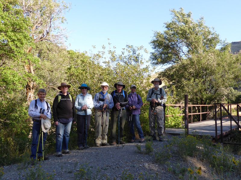
| At the CCC camp bridge, about 0.4 miles from the trailhead |
|
|
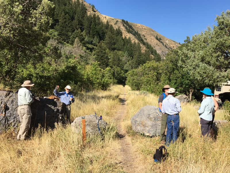
| The official end of the 1.7 mile trail |
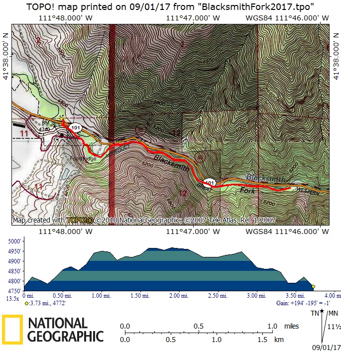 |
| Our GPS track showed about 3.7 miles with nearly 200 feet of ascent. |
|
You can look at our route using: Google Earth, the various map and aerial views of Google Maps or download our GPS file. |