Home
Blacksmith Fork River Trail, 17 January 2021
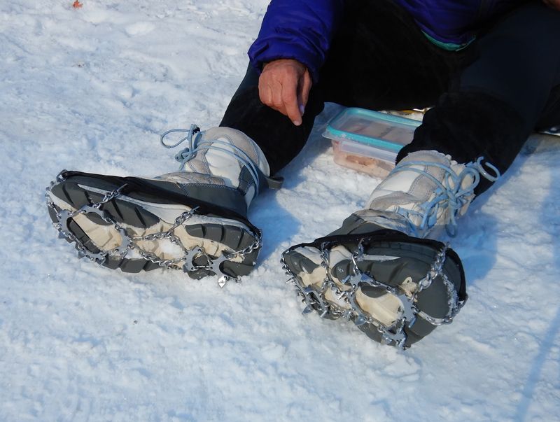
Past winter trips on this trail have had some weather challenges, but this time nature provided a perfect winter hike with mostly blue skies, moderate temperatures, no wind, and sunshine. The trail was snow-packed with a few icy spots, making snowshoes unnecessary and boots with spikes the common choice of travel.
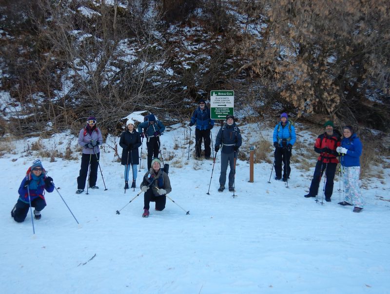
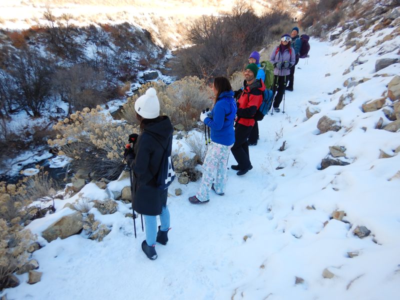
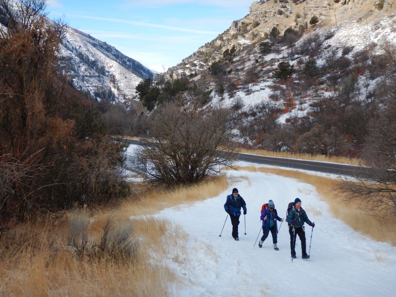
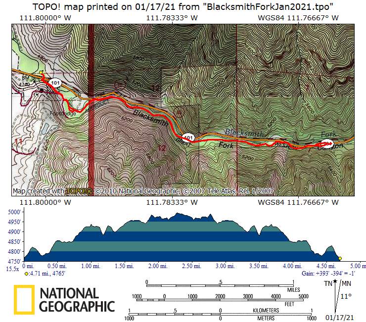
Eleven hikers met at Smith's Marketplace, then traveled to the trailhead one-mile east of Hyrum on Hwy 101. We noted the convergence and signage of three trails: Bonneville Shoreline (seasonally closed for wildlife protection), Blacksmith Fork River, and the new Blacksmith Fork Connector leading to Hyrum City.
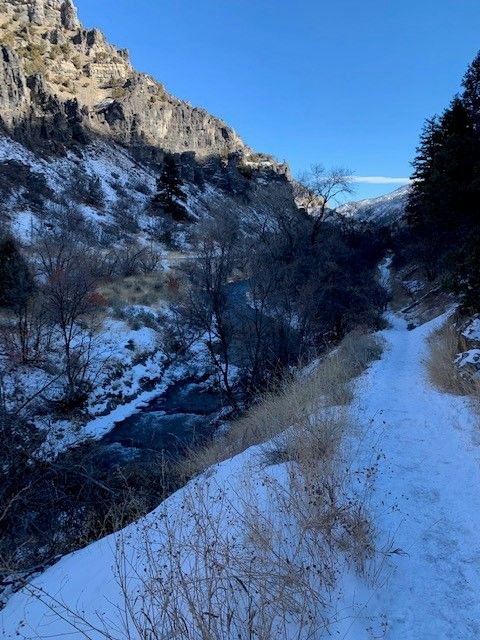
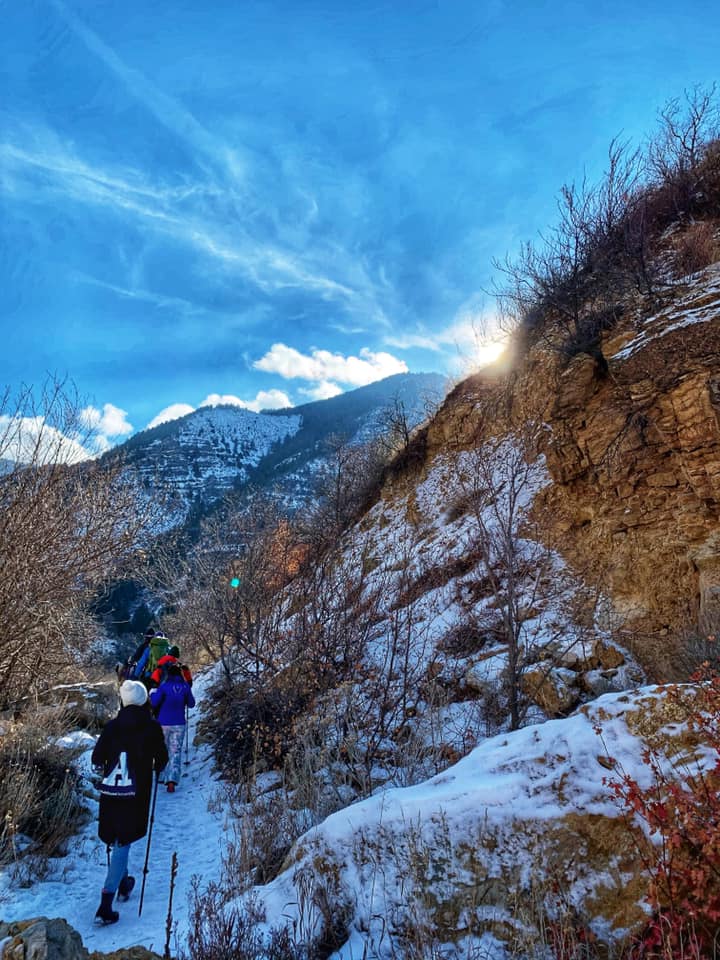
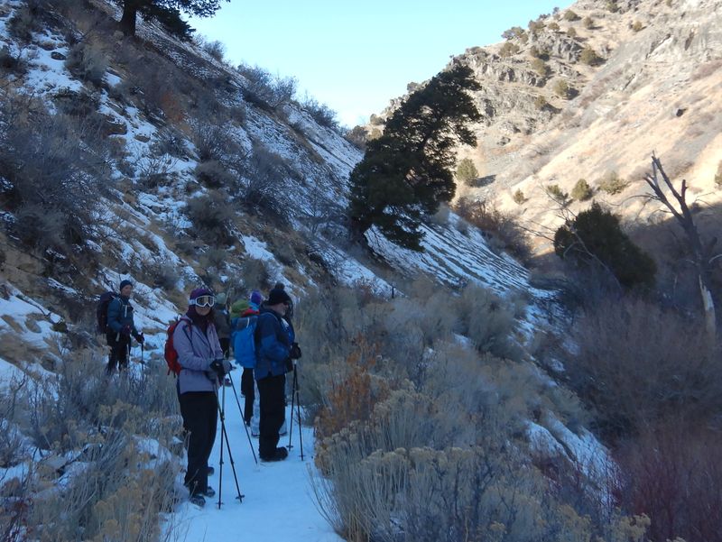
Crossing the road and the river we hiked east past a spring, the power facility, a very large wiki-up, a frozen waterfall, and the old Civilian Conservation Corp camp. Traveling through sagebrush and maples we stopped frequently to look at the icy fringes in the river and the snow-topped cliffs and rocks. At 1.7 miles we passed a large pull-out with fencing and parking, then continued on to trail's end at a utility structure and gate at mile 2.4.
Boulders and scattered sunshine provided a decent lunch spot before the return trip. Hiking west the views of the Wellsville Mountains were stunning, partially due to moderate air pollution rather than the often-severe level of mid-winter. Two eagles soaring above the cliffs to the north captured our attention as did more icy formations in the river below.
Refreshed by the beauty of the day and the comradery of the group we returned to trailhead early and in good spirits.
Trip Summary
- Eleven hikers: Susan, Brent, Ralph, Dave W., Ophelia, Yushan, Laurel, Jesse, Falina, Kathy, and Jane (leader)
- Traveled 10 miles to the trailhead
- Started hiking about 10:40 a.m. and returned about 1:30 p.m., with lunch 11:55-12:25
- Hiked 4.8 miles with about 300 feet of elevation change
- Temperatures in the 30's, moderate air pollution, skies calm and blue
Thanks to Jane for the narrative, Ralph and Ophelia for photos and Dave W. for photos and GPS data.
 |
|
| Starting out
on the trail |
|
 |
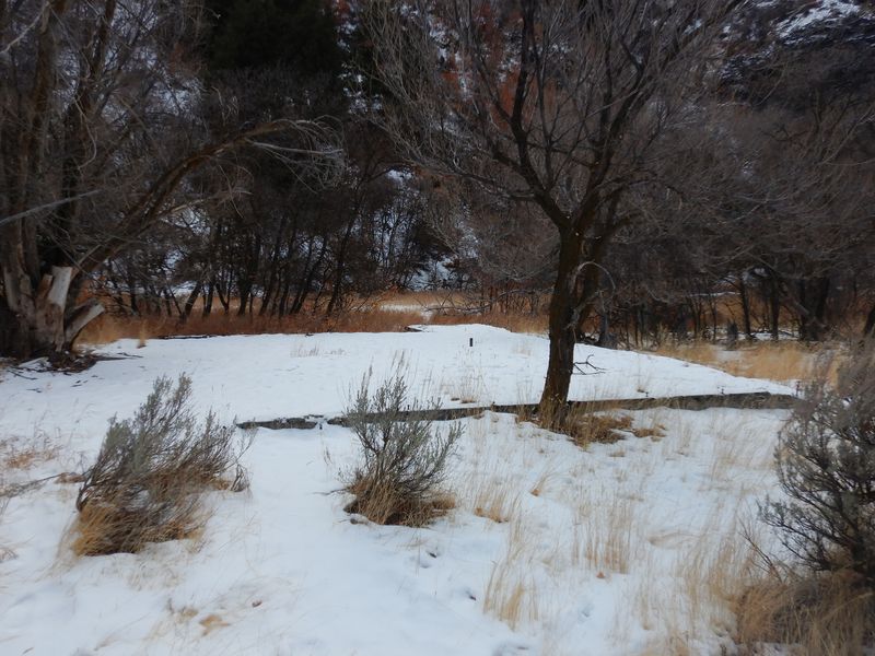 |
| The bridge at the old CCC
camp |
A building foundation at the
old CCC camp |
 |
 |
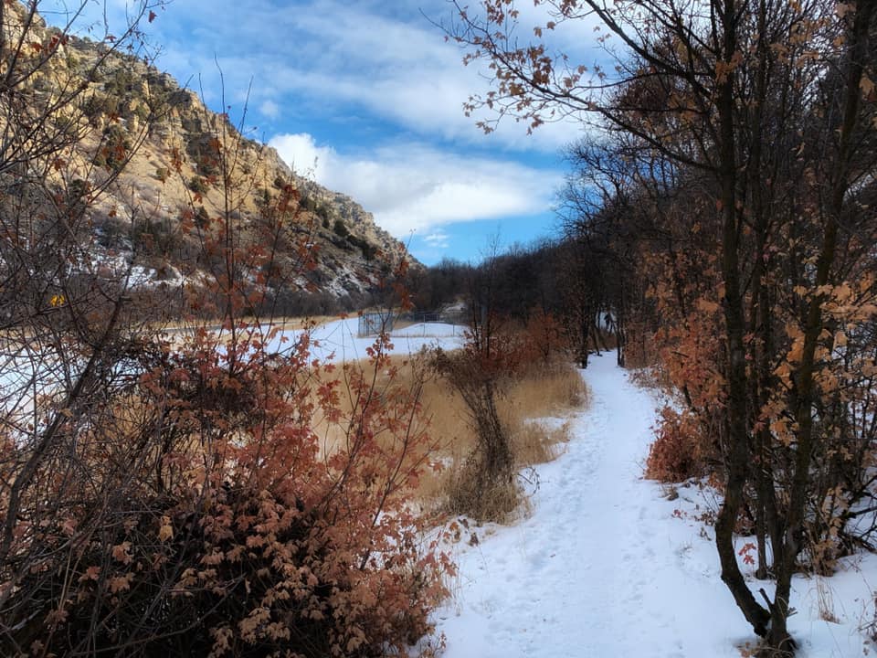
| A sunny area near the CCC camp |
Most of the trail was shaded |
 |
|
| Looking down at the Blacksmith Fork
River |
|
 |
 |
| We enjoyed
occasional glimpses of the sun as we hiked |
|
 |
 |
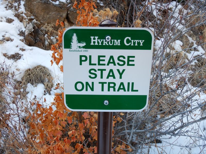
| A new sign
along the trail |
An illegally constructed trail
extension has been closed |
 |
|
| Approaching a
fenced water infrastructure near the end of the
trail |
|
 |
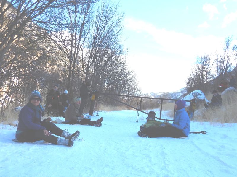 |
| Nearing our lunch spot, just past the water facility | Lunch |
 |
 |
| Trail crampons helped with
footing |
This leaning tree may not stand
for much longer |
 |
|
|
Our GPS track shows about 4.8
miles and 300 feet of ascent and
descent.
You can look at our route using Google Earth or download our GPS file. |
|