Home
Blacksmith Fork, 18 May, 2025
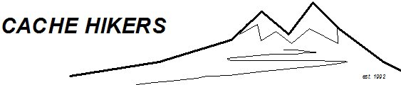
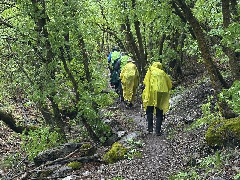
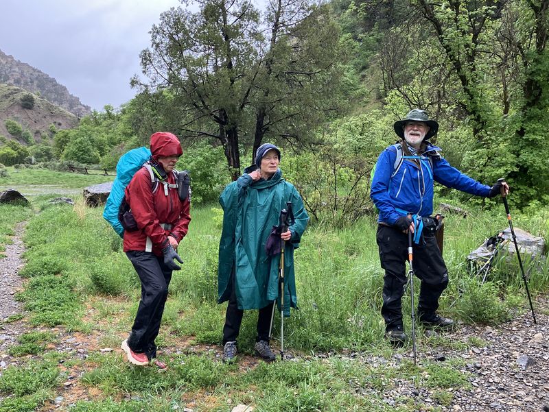
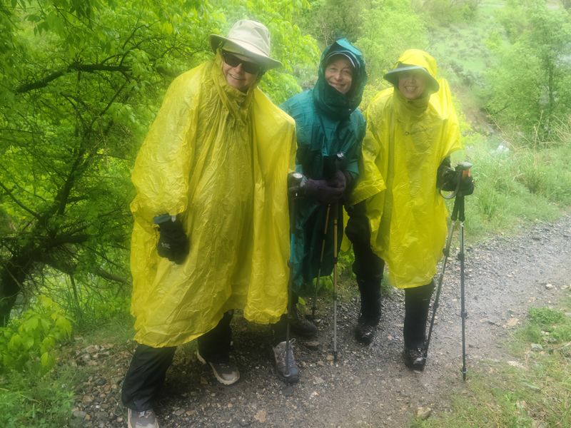
The seven of us braved the wet weather and agreed to continue our planned hike on the Blacksmith Fork River Trail. It had rained all night and accumulated .25” more that morning, making it a soggy start. The rain waffled between light and normal throughout the hike up to the lunch spot, the end of the official trail. Three of us put ponchos on halfway up the trail, which kept us mostly dry until the end.
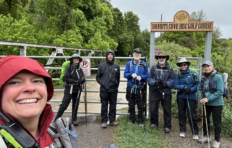
We saw the new disc golf course, Bandits Cove, with new signs and basket shot distance information. It was very well done and looks like it would be a fun activity. It was interspersed among the old CCC camp.
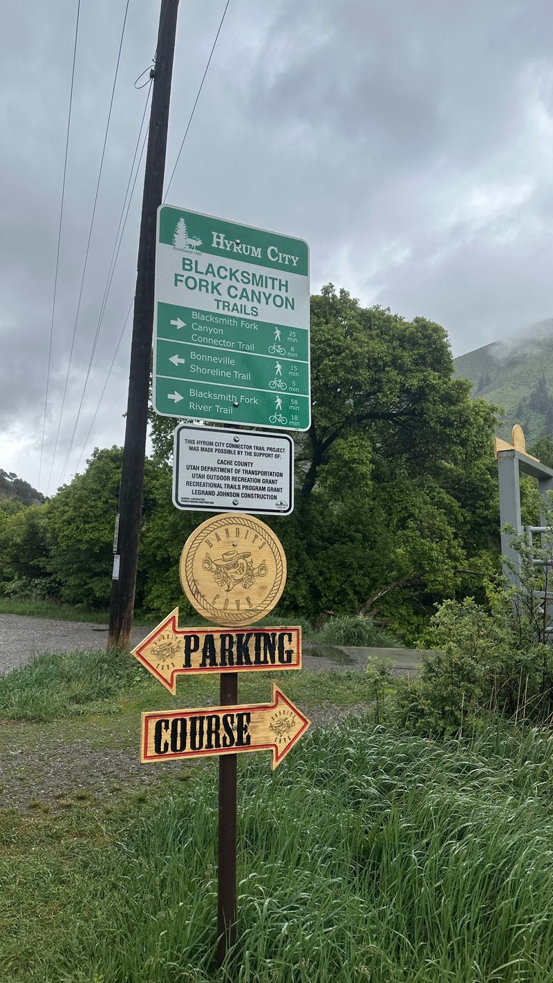
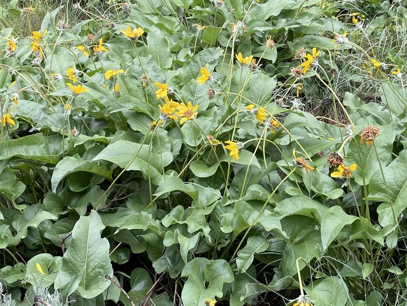
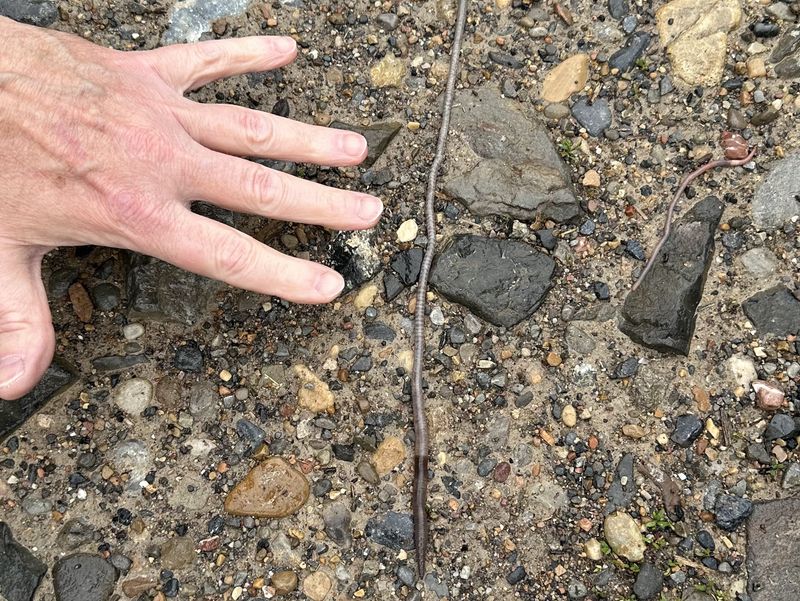
Lots of different wild flowers were in bloom, including arrowleaf balsamroot, penstemon, paintbrush, budding mule-ears, chokecherries, and a few others I can’t remember the names for. Lots of earthworms were covering the trail as they escaped the soggy soil. The mud wasn’t too bad and the trail was easily traveled. Dave W. explained the old pipeline made out of wood and rebar-type metal and we saw remnants of them along the trail.
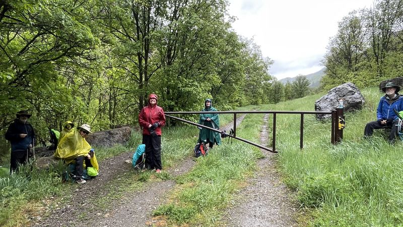
We stopped for snack/lunch at the gate and the wind picked up, blowing the rain off the overhead trees. We had a short lunch since it would turn cold when we stopped for too long. On our way back down the trail, we hurried more since we were slightly chilled from lunch, the rain had picked up, and some of our rain gear was getting wet.
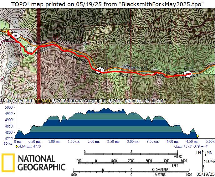
We arrived back to the car around 11:30 am and had hiked about 5 miles and 400 feet of elevation gain. We all went to lunch at El Toro following the hike. David (co-trip leader) made a short video of our hike (this is a large file) while we were at the restaurant.
Trip Summary:
- Participants: Dave W, Jane, Brent, Susan, Teresa, and David & Michelle Welch as trip leaders
- Drove 10 miles to the parking area at the mouth of Blacksmith Fork Canyon
- Began hike at 8:28 am, Lunch/snack at 10 am, Return to car at 11:30 am
- Weather: cool in the 40’s and rainy, light winds picked up at lunchtime and rain increased on way back down trail
- Hiked about 5 miles with 400 feet elevation gain
Thanks
to Michelle for the narrative and photos, Jane for
photos, David for photos, video and GPS data, and Dave
W for photos and GPS data.
 |
|||
| The beginning
of our hike, a bridge over Blacksmith Fork |
|||
 |
 |
||
| New signs by the bridge |
Remnants of a hoop-and-stave
pipeline |
||
 |
 |
||
| Wet hikers | |||
 |
|||
| Poncho Girls | |||
 |
|||
| Snack/Lunch | |||
 |
 |
||
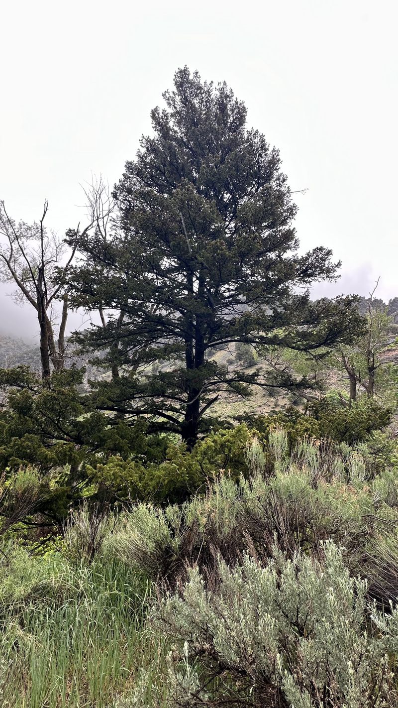
| An attractive tree along our route |
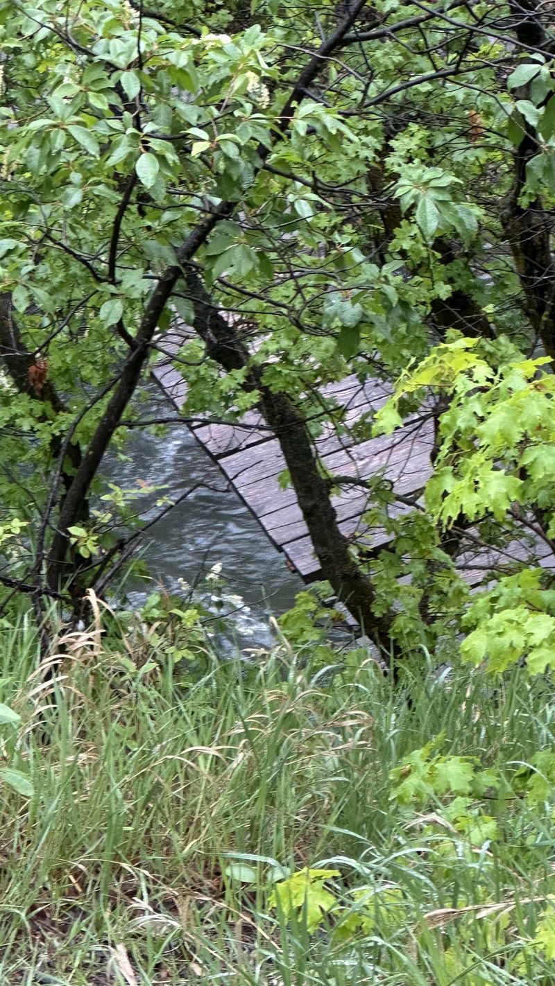
An old, unsafe
footbridge over Blacksmith
Fork |
||
 |
 |
||
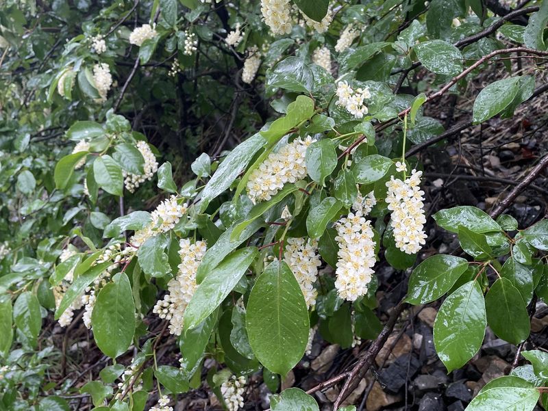
| Chokecherry |
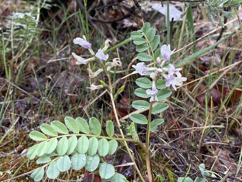
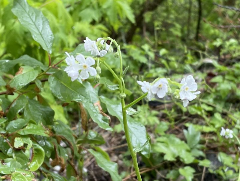
Milk-vetch? |
||
 |
 |
||
| Arrowleaf balsamroot |
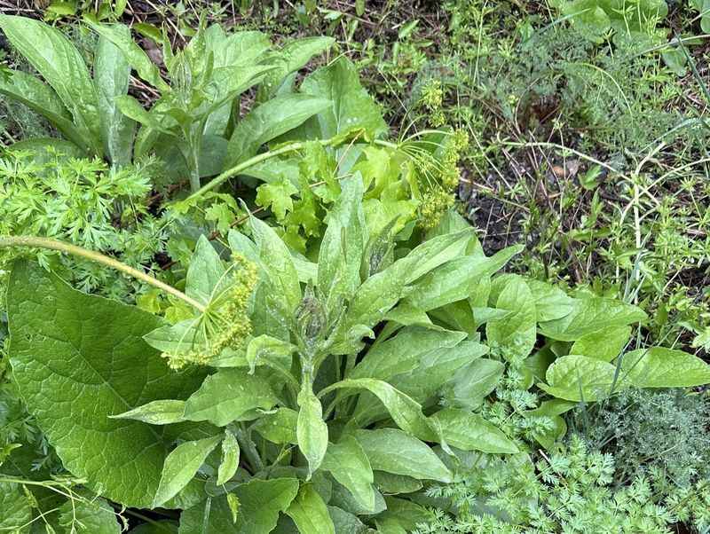
Houndstongue and burdock (not in bloom) |
||
 |
 |
||
| Stickseed |
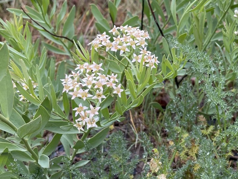
Bastard toadflax |
||
 |
 |
||
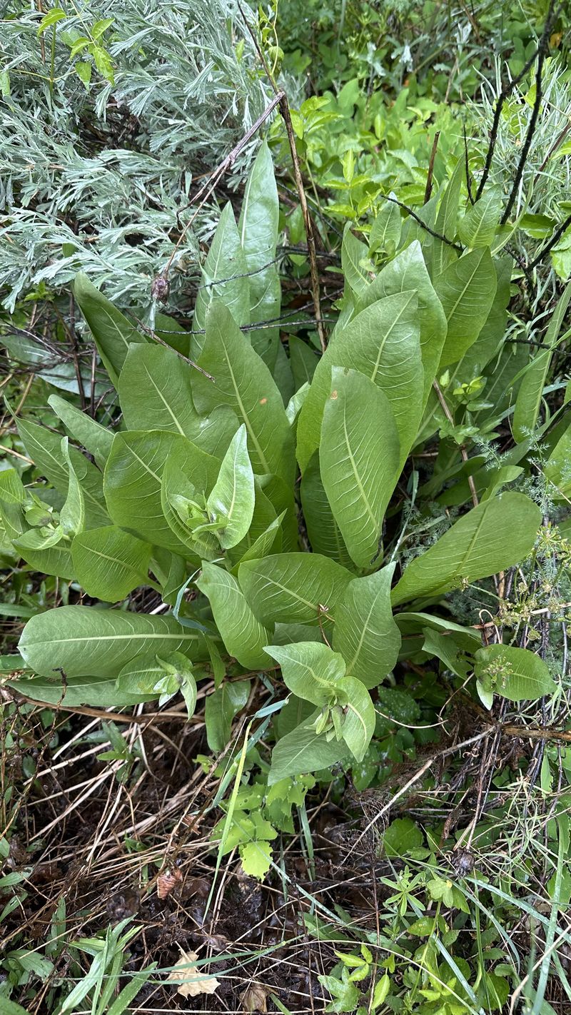
| Mule-ears (not yet blooming) |
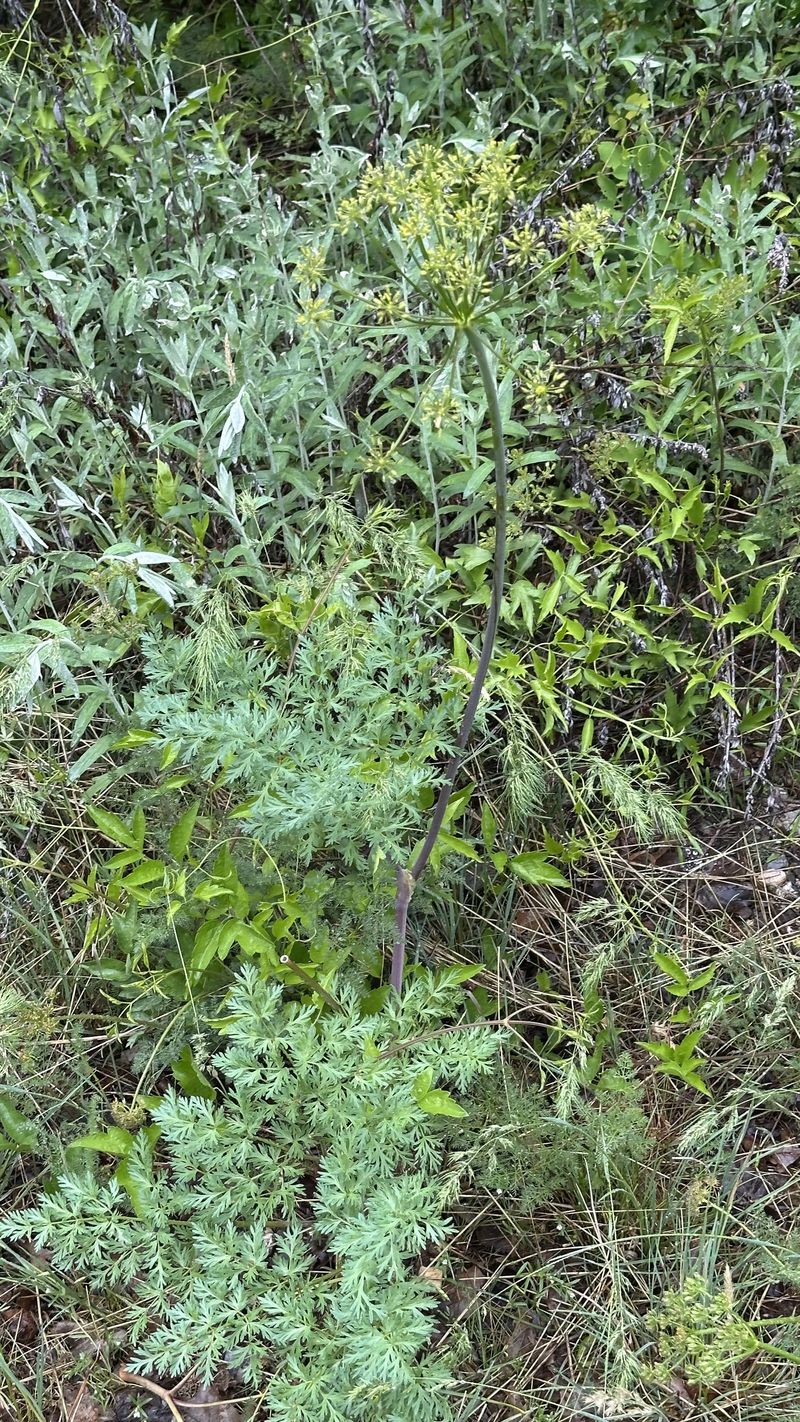
Fernleaf biscuitroot |
||
 |
 |
||
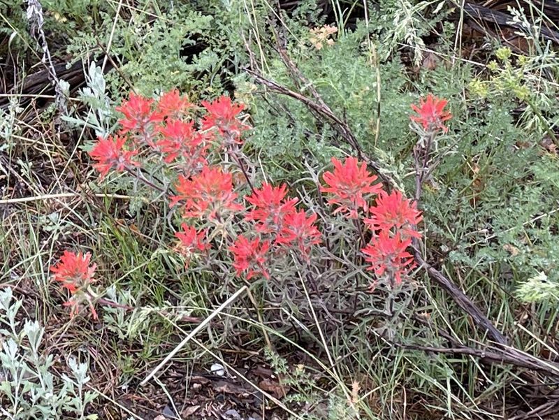
| Paintbrush |
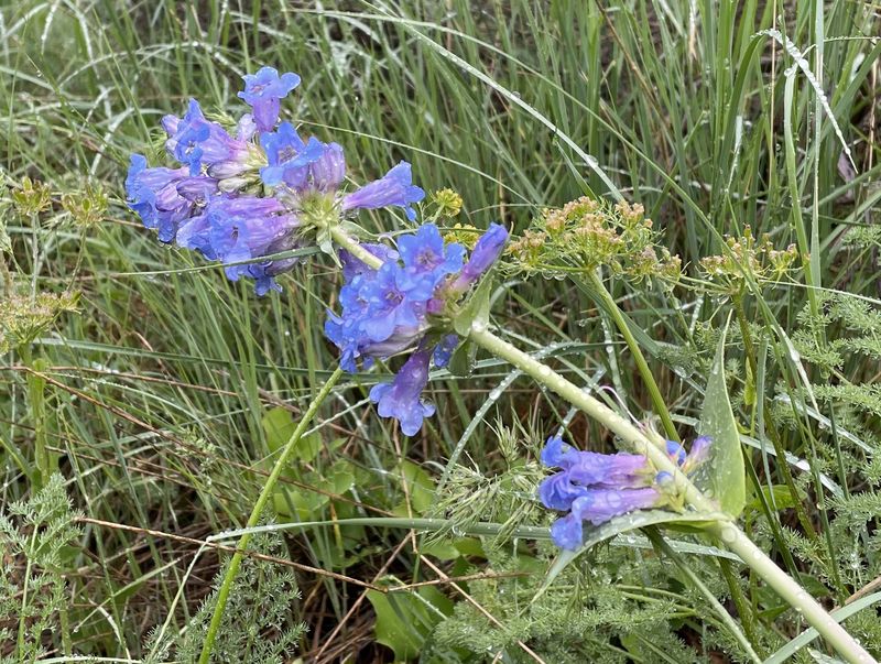
Penstemon |
||
 |
 |
||
| The rain brought earthworms to the
surface |
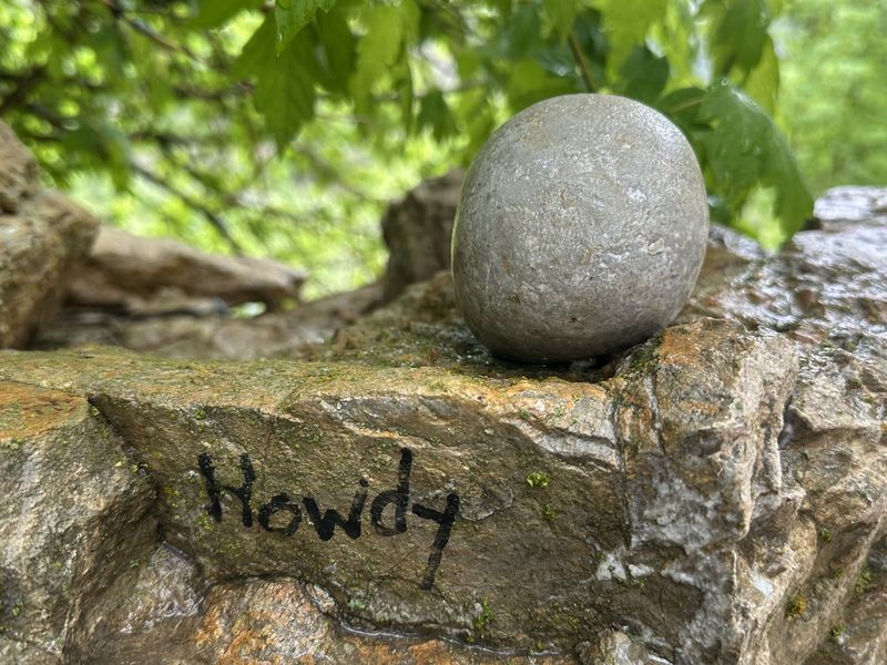
"Howdy" |
||
 |
|||
|
Our GPS track shows nearly 5 miles
and 300
feet
of ascent.
You can look at our route using Google
Earth or download our GPS file.
|
|||