Home
Bonneville Shoreline Trail Hike, 16 May, 2015
This rainy-day hike started with three Cache Hikers and ended with five. Hike leader Dave W., Dave P. and Denis met at the Smiths Marketplace parking lot at 8:00 and Jim and Ann joined later, on the trail. The three early hikers loaded into Dave W.'s car about 8:05 and arrived at the mouth of Providence Canyon about 8:25.
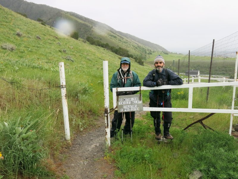
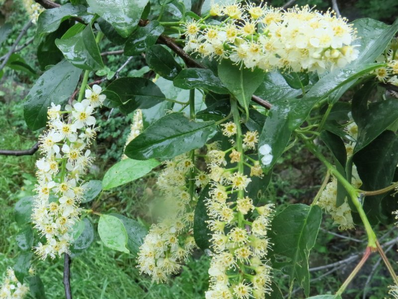
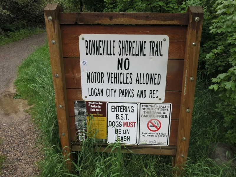
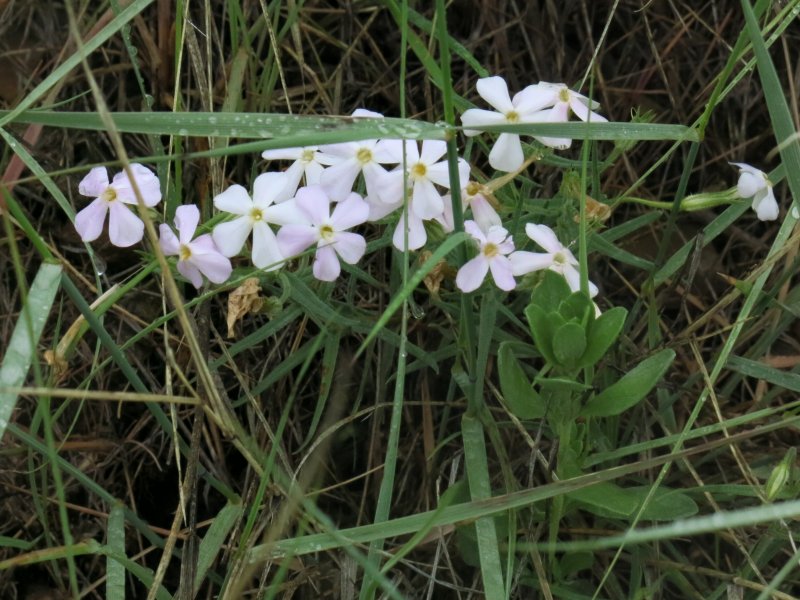
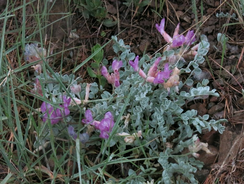
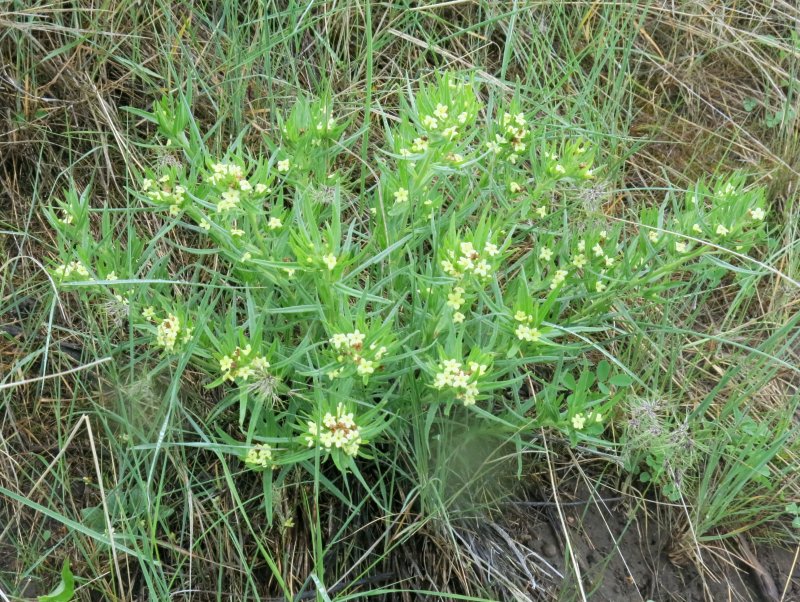
We hiked north along the "deer fence" under intermittent light rain. Although this is called a "shoreline" trail, it runs north along the Cache National Forest boundary, cutting across the terrain and undulating vertically over a series of hills and valleys. The trail tread was in good shape in spite of the wet weather, with only a few puddles and little mud. We saw a bluebird and enjoyed the songs of meadow larks as we hiked. Well-soaked trailside wildflowers included arrowleaf balsamroot, blue flax, Wasatch penstemon, death camas, puccoon, chokecherry, phlox, milkvetch, evening primrose and Indian paintbrush.
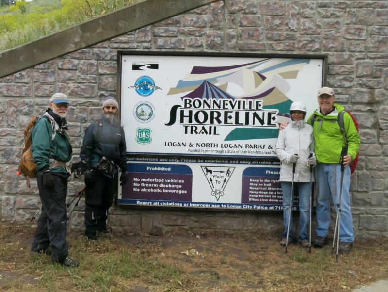
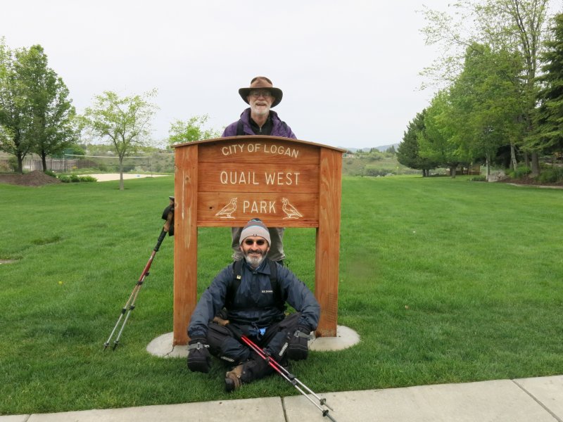
After about 3 miles we arrived at the mouth of Logan's Dry Canyon and walked along the paved sidewalks of the Cliffside neighborhood on the proposed Bonneville Shoreline Trail segment, first west along Mountain Road and then north along Quail Way. At Quail West park we walked across the grass, downhill on a footpath and across Sumac Drive. Continuing down the path, we arrived at the rear of the Water Research Lab and walked east past "First Dam", arriving at Canyon Entrance Park about 10:45 to the two "shuttle" cars we had parked here. Jim and Ann drove back to their other car at Dry Canyon while Dave P. took Denis back to Smiths parking lot and dropped Dave W off at his car in Providence Canyon. Everyone was back in Logan by 11:40 just as the rain increased intensity.
This was a fine activity for a wet day although no doubt the inclement weather and lack of publicity contributed to the low turnout for this easy Saturday hike. With luck, we will have better weather for future hikes and the Herald Journal will resume publishing our activities in Friday's newspaper.
Trip Summary:
- Started on the trail, 8:25 a.m.
- Arrived Dry Canyon at 9:50 after hiking 2.8 miles
- Arrived at Canyon Entrance Park at 10:45 after 1.8 more miles
- Everyone was back in Logan by 11:40
- Skies were overcast with periods of light rain
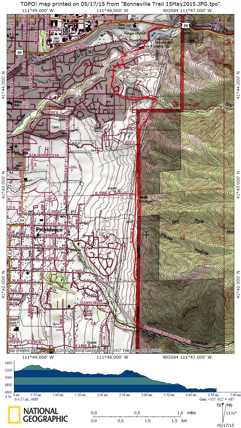
- The hike totaled 4.6 miles with 300 feet of elevation gain and 800 feet descending
Thanks to Dave W. for narrative, photos and GPS work
|
|||
Hiking along the deer fence |
|||
|
 |
 |
|
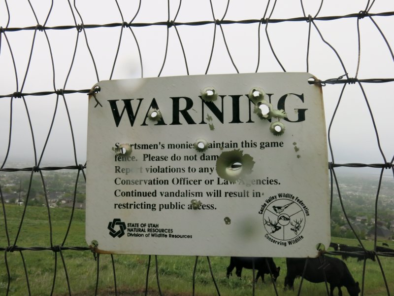
| Deer fence sign | Dry Canyon sign | Quail West Park sign | |
 |
 |
 |
|
| Longleaf phlox | Utah milkvetch | Stoneseed (puccoon) | |
|
 |
|
|
| Indian paintbrush | Foothill Death Camas | Chokecherry | |
|
|||
| Bonneville Shoreline Trail sign at Canyon Entrance Park | |||
 |
|||
| Our GPS track shows 4.6 miles, with 300 feet of climbing and 800 feet of descending | |||
You can also look at our route using Google Earth or the various map and aerial views of Google Maps |
|||