
Home
Bridger Look-off Hike, May 17, 2014
Blue sky and sunshine set the stage for a fine morning walk on the Bridger Look-Off Loop Trail. Fifteen hikers headed uphill about 8:30 a.m. from the Spring Hollow parking lot, past the group site full of preschool campers and the Crimson Trail junction. The steep Spring Hollow trail warmed everyone up before we stopped to admire the spring gushing right out of the mountain. We continued upward, turned west at the junction, then enjoyed the view of Logan Canyon while we took a break among the large limestone rocks. There was a sign at the campground indicating the way to the "Bridger LO" trail, but the sign at this junction was still missing.
The rest of the hike followed a gentle downward trail through maple forests and sagebrush meadows, sprinkled liberally with arrowleaf balsamroot, bluebells, Indian paintbrush, paccoon, fairy bells, serviceberry, Oregon grape and death camas. We took a short spur to the south to soak in the view from Bridger Look-Off and appreciate the volunteers who, ten years ago, resurrected this old trail from years of neglect. Several hikers added a sidetrip to see the planted Ponderosa pine that had reseeded on the hillside.
Our trail intersected with the River Trail above Bridger Campground and we turned east to return to Spring Hollow parking lot, stopping to enjoy mallards with their fuzzy ducklings on 3rd Dam.
Hikers who came to enjoy this wonderful spring walk were: Jane (leader), Keegan, Bill, Dave W., Dan, Elizabeth, Dave P., Diane, Gordon, Denis, Norma, Christine, Jill, Albert, and Stephanie G.
Trip Summary:
- Arrived Spring Hollow campground about 8:30
- Returned to Logan about 11:30
- Warm and sunny weather
- Our GPS track showed 3.6 miles with over 900 feet of uphill
Thanks to Jane for the narrative, with photos and GPS work by Dave W
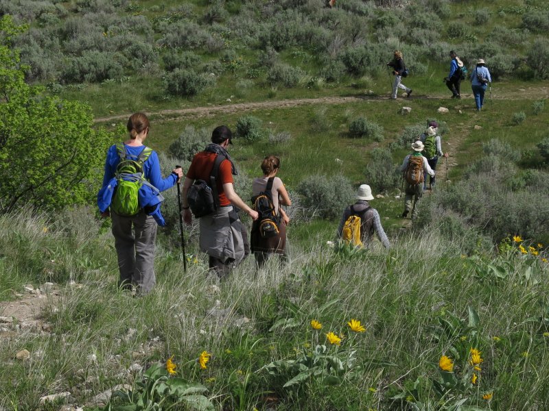
Hiking back to the trail from our viewpoint
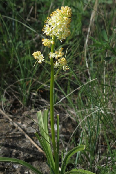
Foothill death camas |
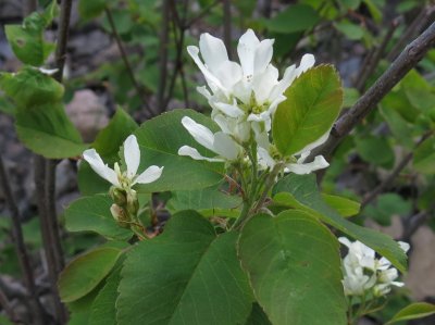
Serviceberry |
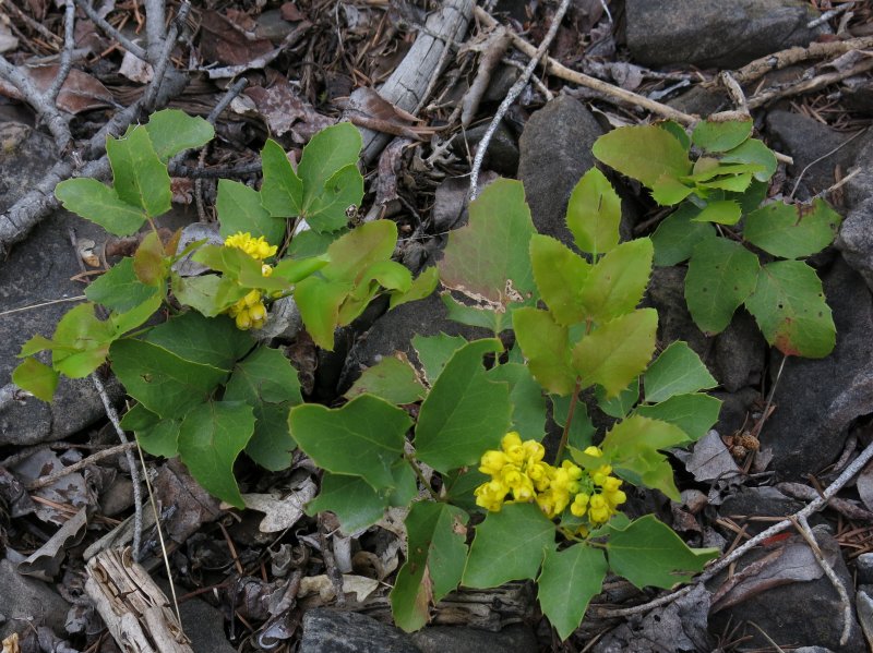
Oregon grape |
|
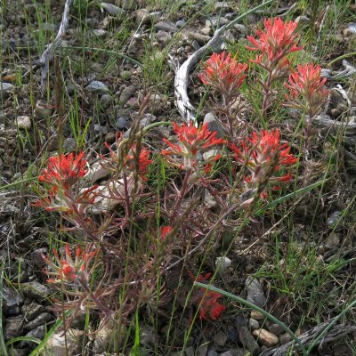
Indian paintbrush |
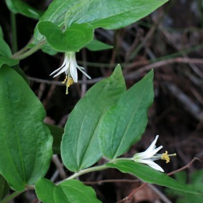
Fairybells |
Arrowleaf balsamroot |
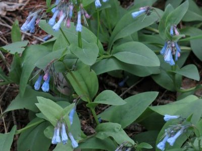
Bluebells |
.JPG)
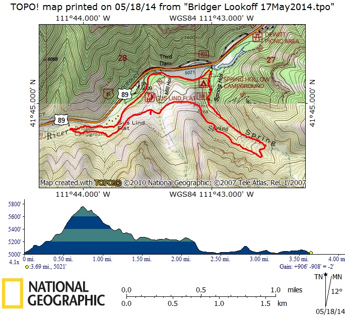
Our GPS track showed 3.7 miles and 900 feet of elevation
You can also look at our route using Google Earth or the various map and aerial views of Google Maps.