
Home
Bunchgrass to Steam Mill, 19 September, 2021
Prepared for a cool wet day, eight Cache Hikers met and carpooled to the old Bunchgrass trailhead; Dave W, Jane, Dave P, Teresa, Joan, Ophelia, Kamren and Dan (leader). We started hiking at 8:45 a.m.
We followed the new alignment of the Bunchgrass trail which added distance to our hike but we enjoyed the more gentle grade. The weather was warm and sunny. We noted the confusion of trails in this area, some cow trails, some informal. Houndstongue was common.
The group stopped for "first lunch" at about 11:30, then continued on to the White Pine drainage under increasingly cool and windy conditions. After "second lunch" the group split, some going back the way we came (Teresa, Dave W and Jane) and the others (Dave P, Ophelia, Kamren, Joan, and Dan) hiked on as originally planned.
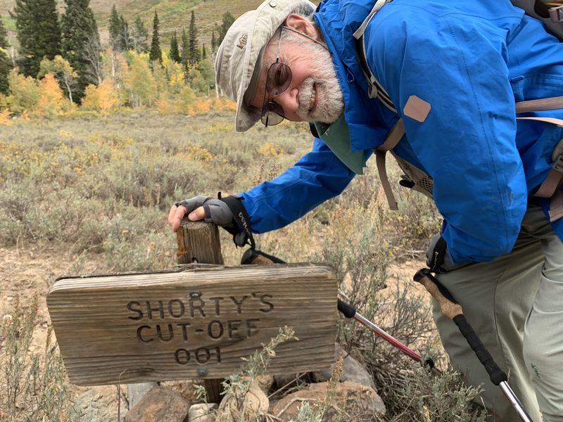
The "onward group" hiked a short ways, crossed the creek and came to the sign for Shorty's cutoff. The sun came out for our climb over the ridge to Steam Mill basin on which we stopped to photograph the splendid views of upper White Pine creek. Mount Gog and Magog stood to the west. The rain started as we descended into Steam Mill.
We found two lost hikers at the historic boiler (a remnant of past logging activity) and steered them in the right direction. It was a wet slog down into Franklin Basin and the Steam Mill trailhead, the end of our hike of nearly 12 miles. After a short wait the other hikers came to pick us up for the ride back to Logan. .
Trip Summary:
- Participants:
Jane, Dave W., Joan, Ophelia, Kamren, Teresa, Dave P.
and Dan (leader)
- Drove 23
miles up Logan Canyon to the "old" Bunchgrass
Trailhead (located on US-89), then 3 more miles to the
Steam Mill trailhead to pick up the others after the
hike
- Started
hiking on the White Pine-Bunchgrass Canyon Trail about
8:50, lunch 12:10 - 12:40, ended at the trailheads
about 3:30
- Clear skies,
comfortable temperatures and breezy in the morning,
with wind, overcast skies, cool temperatures and light
rain in the afternoon
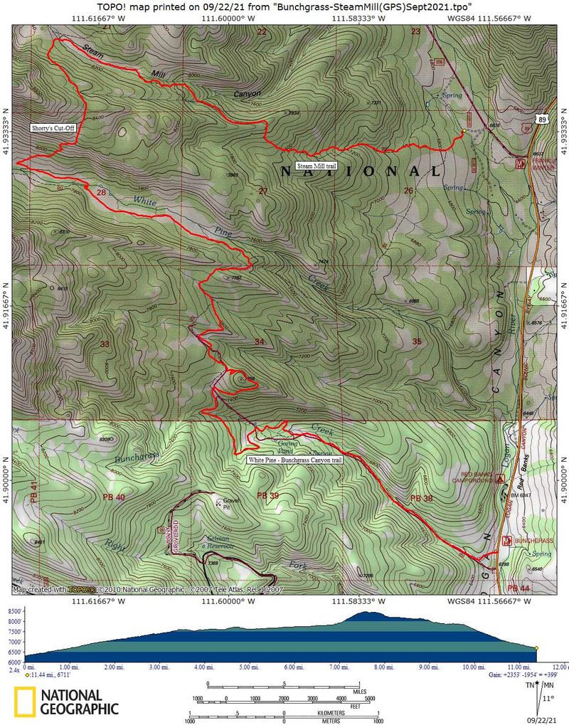
- 11.5 miles
with about 2200 feet of ascent for hikers continuing
to Steam Mill TH, and 11.6 miles with 1400 feet of
ascent for the hikers returning to Bunchgrass TH
Thanks to Dan for the narrative, photos and GPS data, and Jane, Dave P., Ophelia and Dave W. for photos.
 |
||||
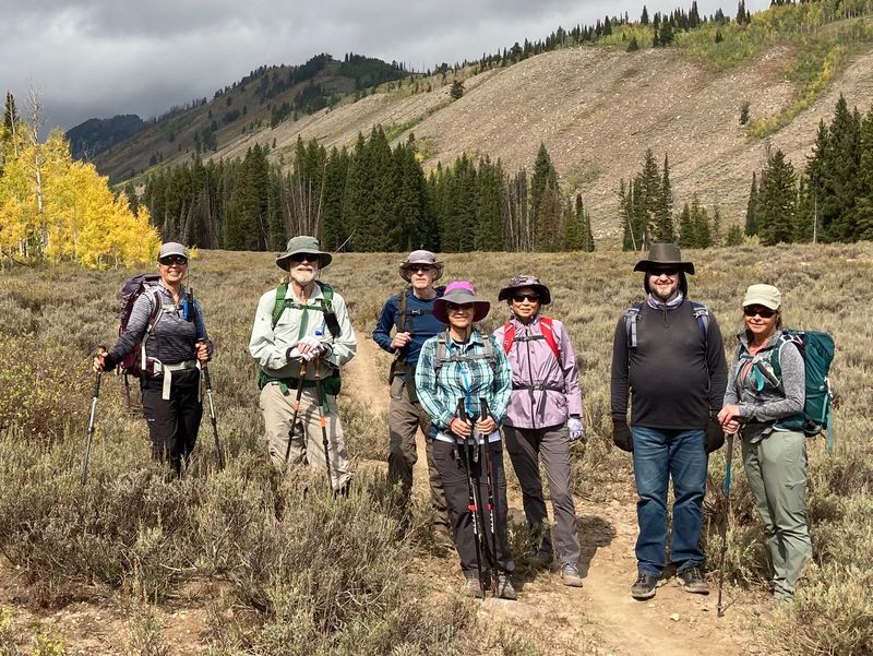
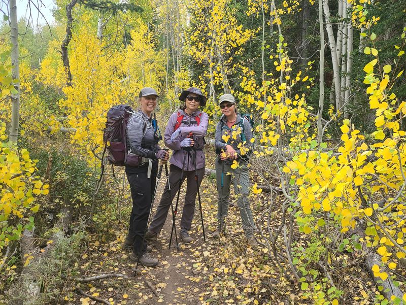
| Cache Hikers in White Pine Canyon as the weather was beginning to change | ||||
 |
 |
|||
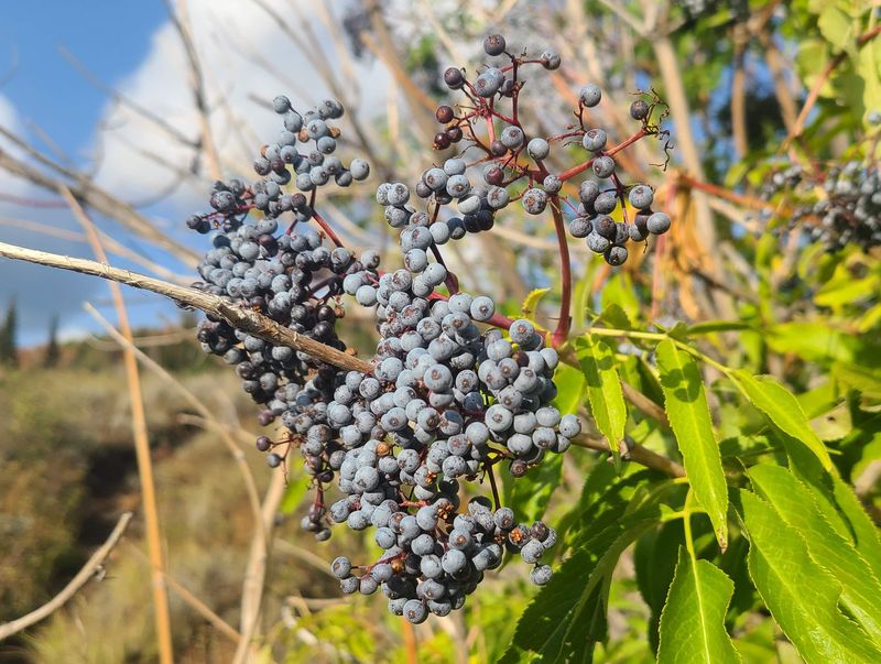
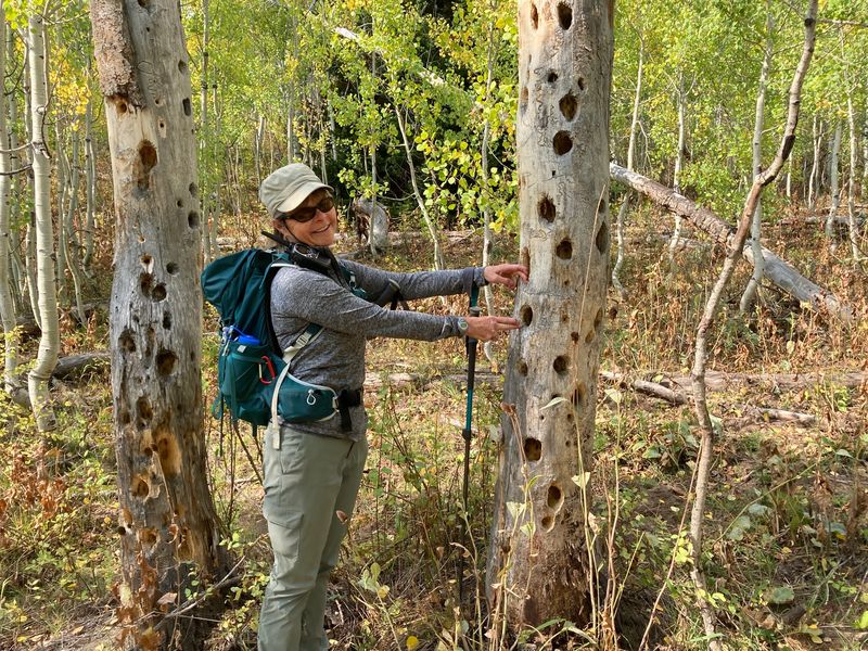
| Elderberry, near the beginning of our hike | Woodpeckers have been busy
here! |
|||
 |
||||
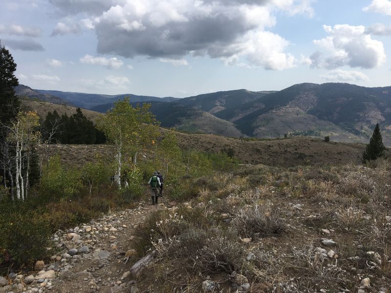
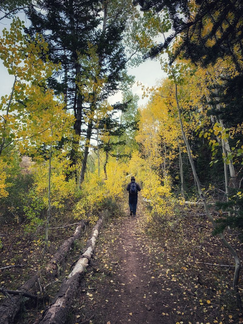
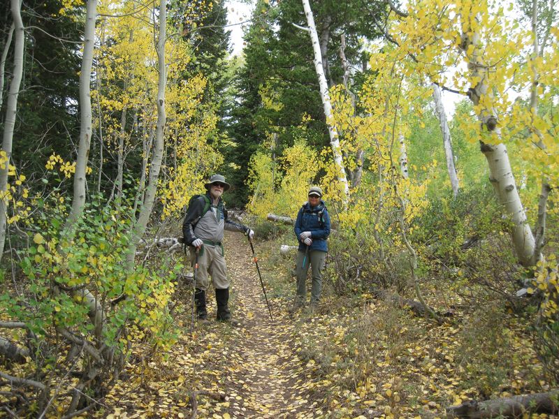
| Hiking on the
White Pine - Bunchgrass Canyon trail |
||||
 |
 |
|||
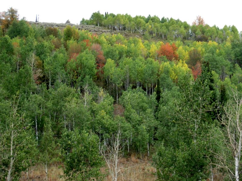
| White Pine Knob, looking west from the White Pine - Bunchgrass Canyon Trail | Aspen leaves were turning color |
|||
 |
 |
|||
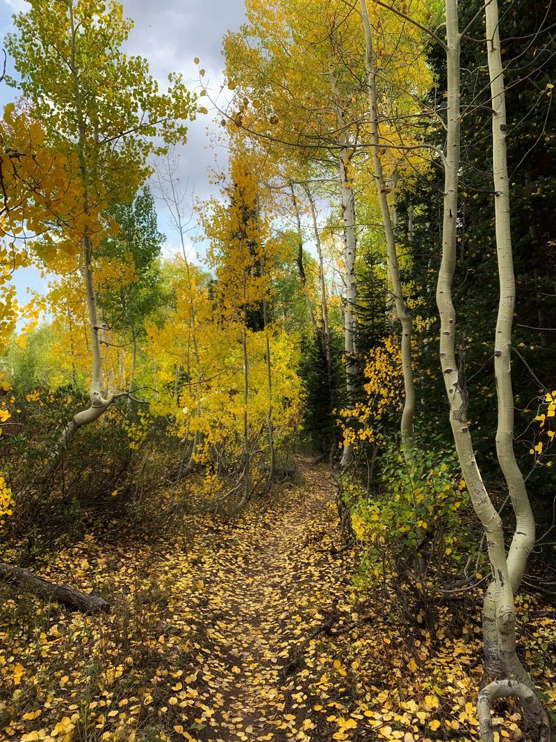
| Golden aspen
leaves lined the trail between Bunchgrass Canyon
and White Pine Canyon |
||||
 |
 |
|||
| We loved
hiking through the colorful fall foliage |
||||
 |
||||
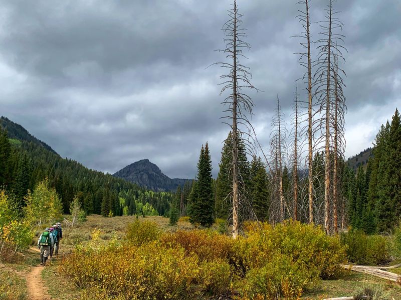
| Approaching our lunch spot near an old beaver dam near White Pine creek, with Mount Gog visible in the distance | ||||
 |
 |
|||
| A short sign for Shorty's
Cut-Off |
Mount Gog and upper White Pine
Canyon as seen from Shorty's Cut-Off |
|||
 |
 |
|||
| The weather was cooler as we hiked
back to the Bunchgrass trailhead |
Some aspen trees near Bunchgrass
Creek were turning red |
|||
 |
 |
|||
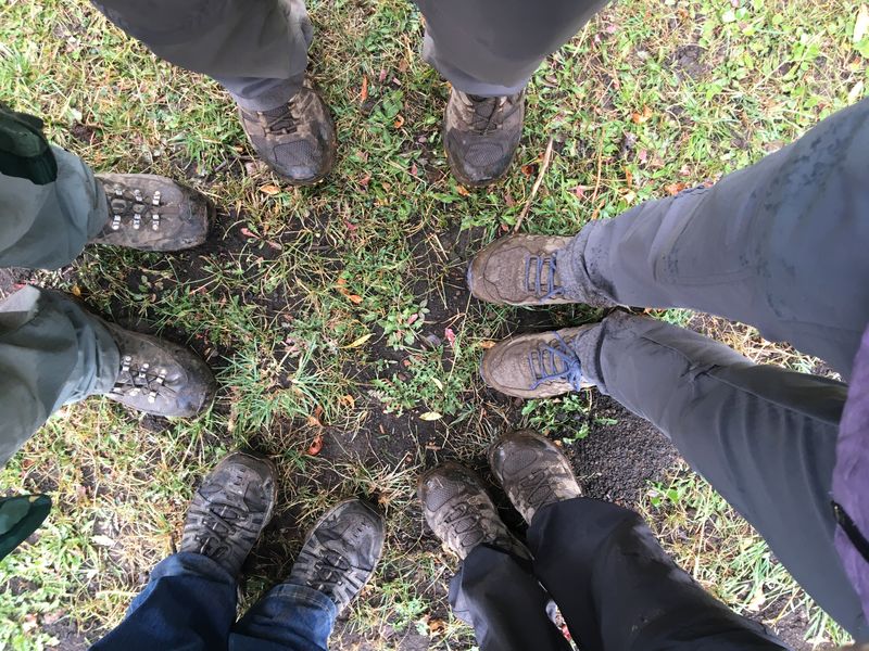
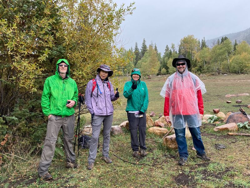
| Chilly, muddy and
damp hikers at the Steam Mill Trailhead |
||||
 |
||||
|
GPS tracks show about 11.5 miles and
2200 feet of ascent (11.6 miles and 1400 feet
for the hikers who returned to
Bunchgrass). You can look
at our route using Google
Earth or download our GPS
file.
|
||||