Home
Bunchgrass Ski/Snowshoe, 7 February, 2016
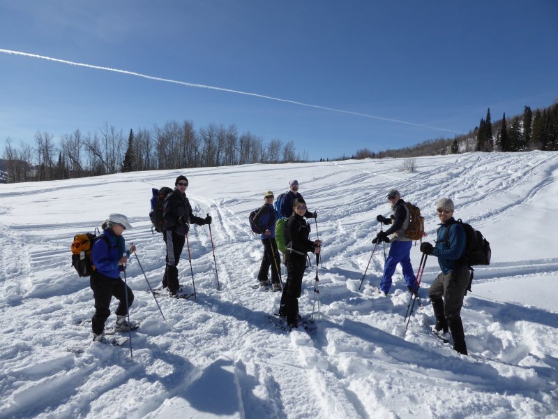
Eight Cache Hikers enjoyed a sunny excursion on the Bunchgrass Trail, a welcome change after the unsettled weather of recent weeks. Brent, Susan, Kathy, Nikolai, Alex and Stephanie were on snowshoes, and Dave P. and Dave W. (the leader) were on cross-country skis. There was a new sign at the trailhead, and to our dismay, tracks of snowmobiles that had trespassed in this non-motorized area.
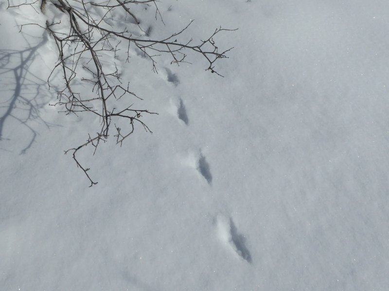
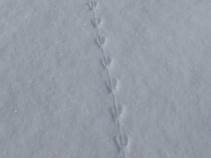
The snow was about as deep as we have seen it here. In past years we crossed Bunchgrass creek on a snow bridge, but now most of the creek is buried under the snow. Animal tracks along the trail piqued our interest. Stephanie identified weasel and mouse tracks, but other tracks remained a mystery. We passed a number of people on their way out after a stay in the Bunchgrass Yurt about 4 miles up the trail, and we heard - and eventually saw - a large double-rotor helicopter in the distance, heading down Logan Canyon.
We stopped for lunch near Goring Pond, where Kathy treated us to a decadent desert from the Logan Chocolate Festival. The skiers in the group had a easy trip down the trail, thanks to the good snow conditions. We all enjoyed the beautiful surroundings, favorable weather and pleasant company.
Trip Summary:
- Organized carpools and drove 23 miles up Logan Canyon to the Bunchgrass Nordic Trailhead parking area
- On the trail at 10:50
- Lunch near Goring Pond, 12:20 - 1:00
- Back at the trailhead at 1:55 and Logan at 2:40
- 43 inches of snow and 34 °F at our lunch spot
- Cloudless skies and calm winds
- 3.7 miles with 760 feet of elevation
Thanks to Dave P. for photos and Dave W. for the narrative, photos and GPS work
|
|
| Starting out on the Bunchgrass Trail under clear skies and pleasant weather | |
|
|
Snowmobile tracks in an area reserved for non-motorized recreation |
|
|
|
| Weasel tracks? | Mouse tracks |
|
 |
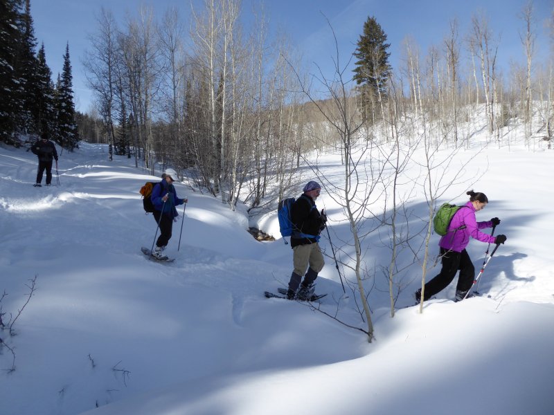
| Sunshine makes for happy snowshoers | Unknown tracks crossing Bunchgrass creek |
 |
|
| Heading down the trail, with White Pine Knob in the distance | |
 |
|
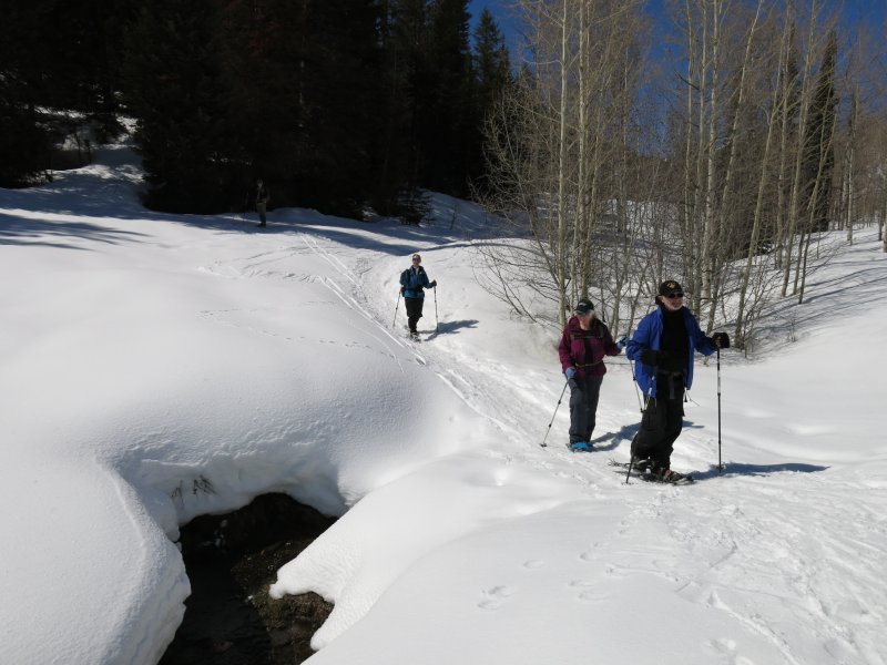
Crossing the snow-covered Bunchgrass Creek (see comparison photos, below) |
|
 |
 |
| There was more snow here than 2014 (left) and 2015 (right) | |
 |
|
| Our GPS data shoes 3.7 miles with 760 feet of elevation gain | |
You can also look at our route using Google Earth or the various map and aerial views of Google Maps |
|