
Home
Bunchgrass Creek Hike, October 5, 2014
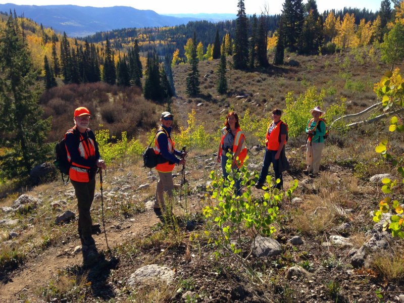
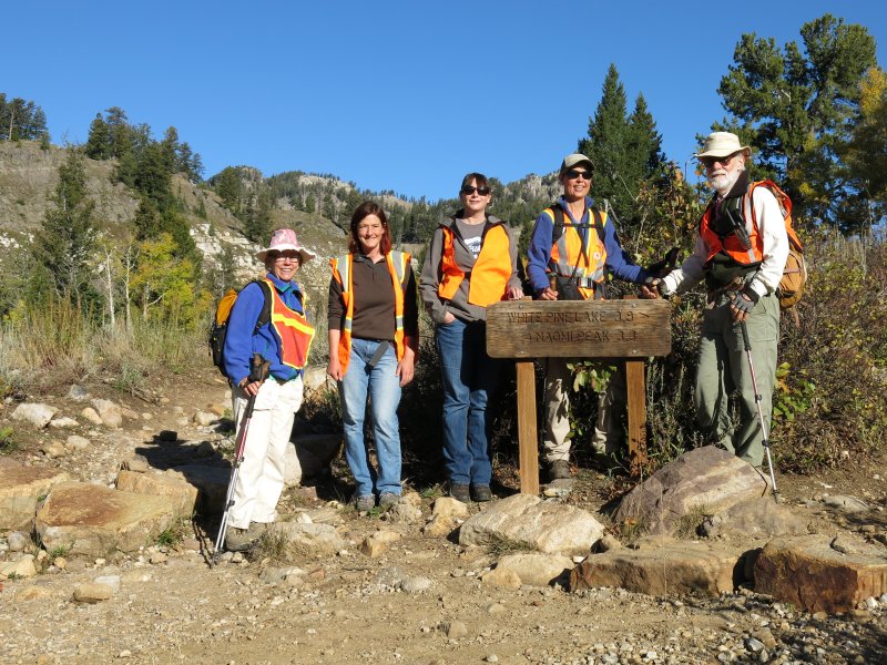
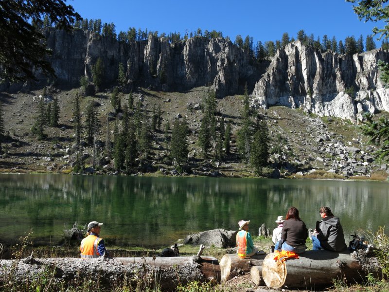
Six Cache Hikers enjoyed this stunning fall hike, Dave W. (the leader), Dave P., Jane, Kathy, Deanna and Jennifer. Three vehicles were required for this trip - we left a "shuttle" car at the Bunchgrass Creek trailhead and rode the rest of the way to Tony Grove in the other two cars. We finally started on the trail about 9:30, but not until after our parking fees were paid and we had put on hunter orange clothing for safer hiking during elk season.
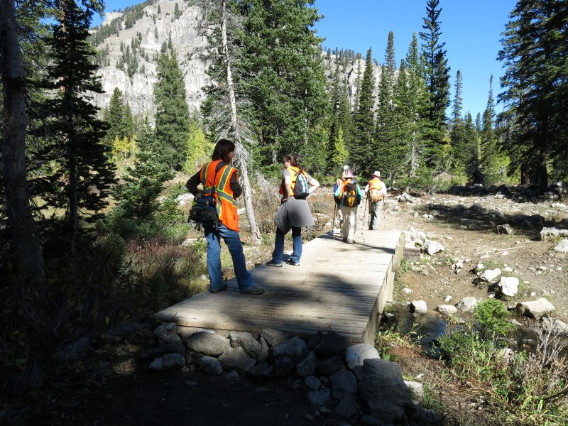
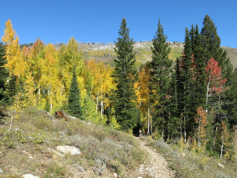
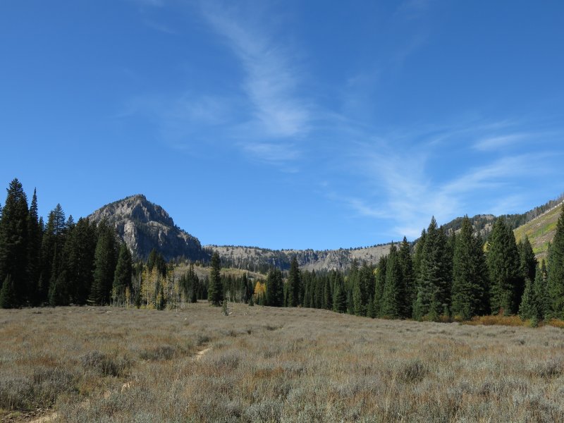
We followed the White Pine Lake trail about four miles from Tony Grove to White Pine Lake. After a scenic lunch on the shore of White Pine Lake, we headed west down the White Pine Creek trail through aspen groves and sagebrush meadows for another 3.5 miles before turning north at the trail junction. Two and one half miles later we arrived at Bunchgrass Creek, then a final two miles as we passed by Goring Pond and arrived at our "shuttle" car in the Bunchgrass parking area. The drivers rode in the shuttle car to Tony Grove where they picked up the remaining vehicles for the trip back to Logan. The White Pine Creek trail was still marked with flagging from last week's Bear 100 Mile Endurance Run.
It was a great day to be in the mountains! The brilliant blue skies and warm temperatures were a welcome change after the rains of last week, and aspen trees entertained us with their colorful leaves along most of our route. Leaves often carpeted the ground under our feet, and once we were treated to a golden shower when an agreeable breeze blew leaves from nearby trees. We saw a number of birds along the way, including juncos, Clark's nutcracker, Stellar's jay, red-shafted flicker, and a dusky grouse. An excellent outing!
Trip Summary:
- Started hiking about 9:30
- Lunch at White Pine Lake, ,11:35 - 12:15
- Back to the Bunchgrass Trailhead about 4:00 and Logan about 5:15
- The GPS track shows 11.2 miles with about 1100 feet of elevation gain and 2800 feet of descent
Thanks to Dave W. for the narrative and GPS work and Dave W. and Dave P. for photos
|
|
| Decked out in "hunter orange" | |
|
|
Handrails had been sawed off of the White Pine Creek bridge |
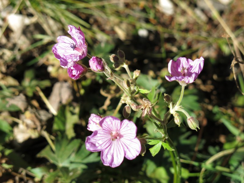
A few geraniums were blooming |
|
|
| A pleasant lunch on the shore of White Pine Lake | |
|
|
| Aspen leaves usually turn a bright golden yellow but we also saw trees with orange and red leaves | |
|
|
| A sagebrush meadow along White Pine Creek with Mt. Gog in the distance | |
 |
|
| The colors of fall in the Bear River Range | |
.JPG)