
Home
Bunchgrass Ridge, 21 June, 2026
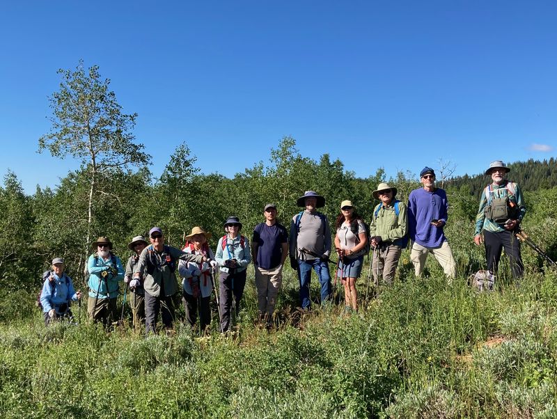
We had a good group of 13 hikers: Jim, Nancy, Kathy, Teresa, Ralph, Dan, Susan, Jane, Stephanie, Brent L., Kamren, Ocean, and Dave P (leader). Four people met us at the parking lot and opted for a shorter hike: Dave W., Katie, Brent J. and Christine.
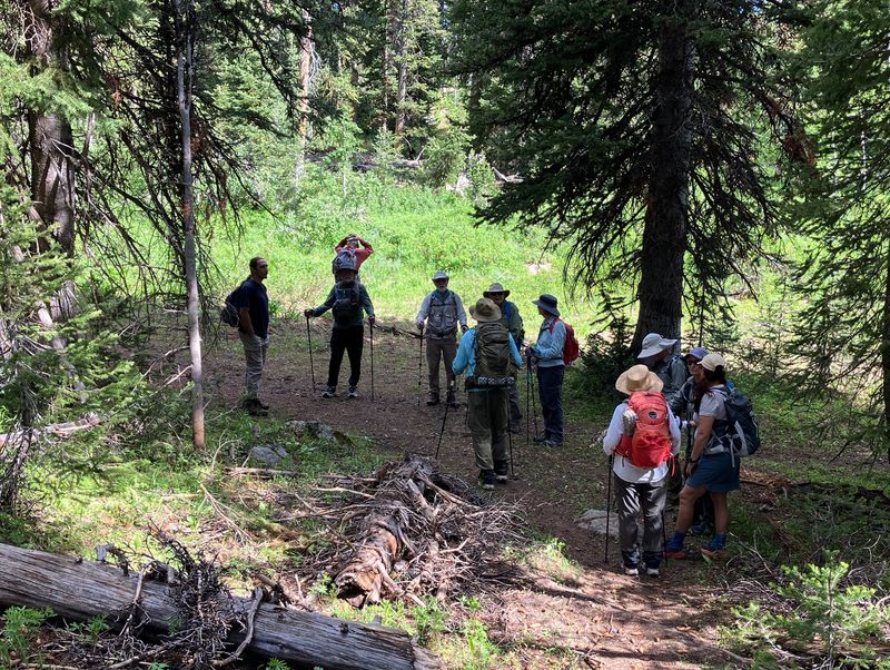
On the first ridge from the parking area fallen logs had been cut, which helped define the route. The overall route varied from well-trodden on the White Pine Trail to uncertain on the climb up to Bunchgrass ridge. We observed the orange Wasatch Formation while climbing up the first ridge, glacial till and moraines in Bunchgrass Creek, the “fucoids” (actually worm tracks) in quartzite of the Swan Peak Formation near the old White Pine Trail, and the rough Fish Haven Dolomite on the top of Bunchgrass ridge, which made for tricky footing going down the ridge.
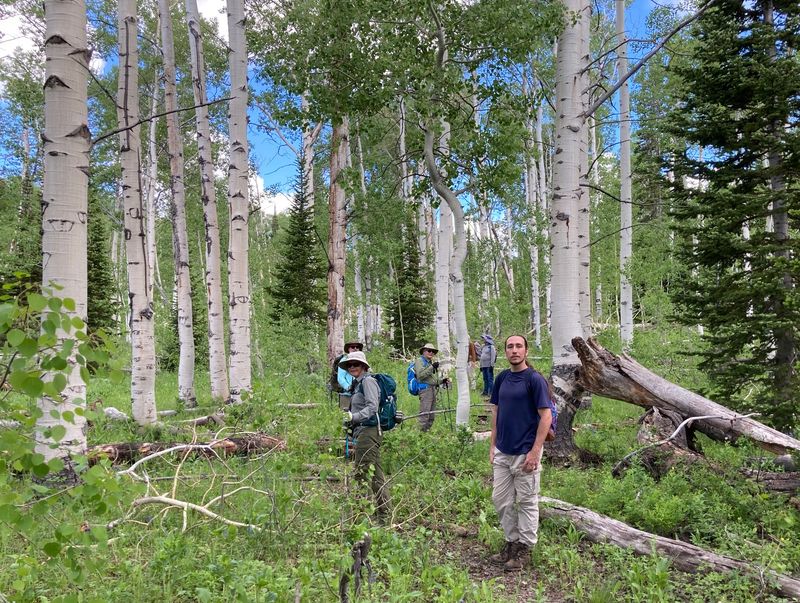
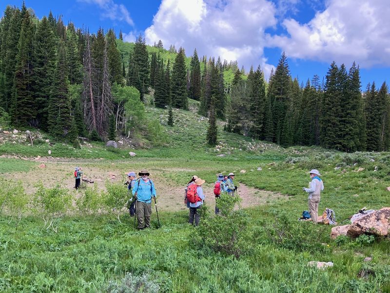
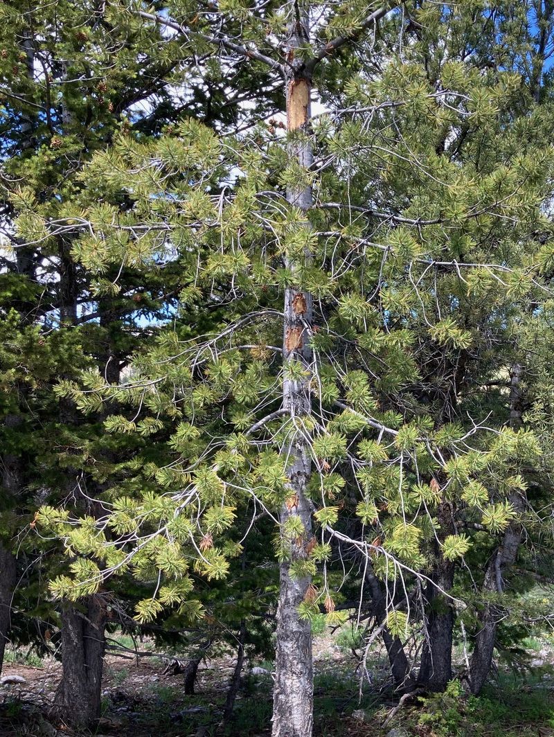
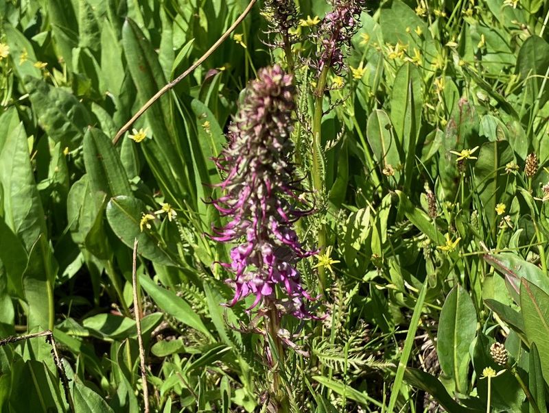
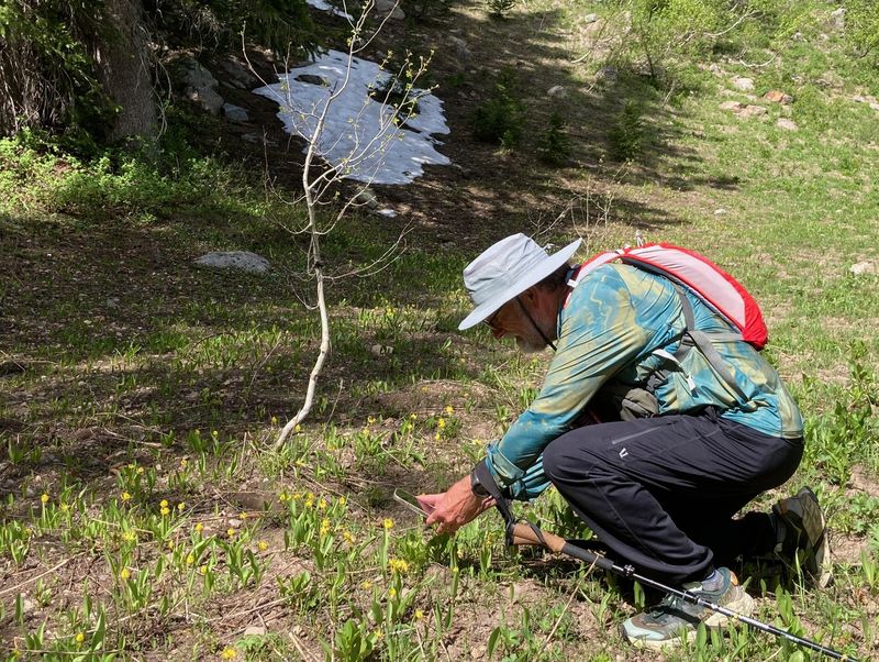
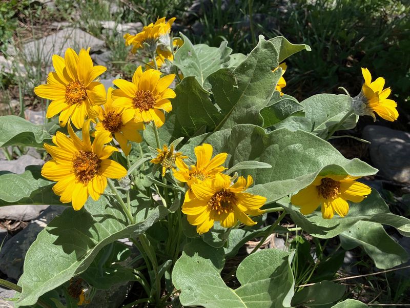
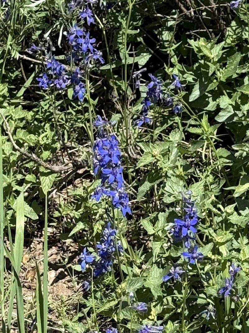
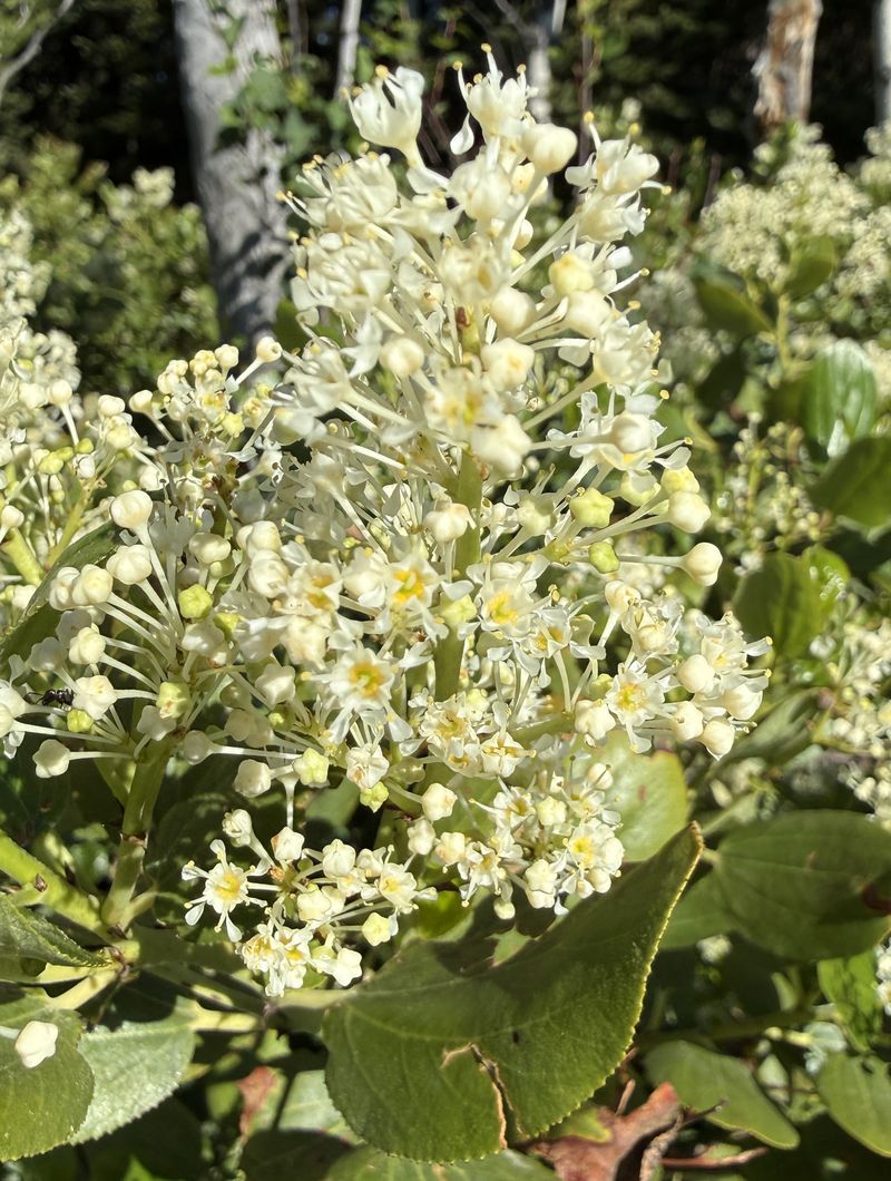
It was the solstice and, appropriately, a bright mostly sunny day. Fortunately the route had frequent shade trees. There were beautiful groves of large aspen in Bunchgrass Creek and twisted old limber pines on Bunchgrass ridge. Many wildflowers were in bloom including bigleaf balsamroot, larkspur, buttercups, snowbrush (Ceanothus velutinus), and even a small patch of elephant’s head (Pedicularis groenlandica). Glacier lilies were still in bloom below patches of snow in shaded areas. The patches of snow must have helped keep water flowing in upper Bunchgrass, but the pond was dry. There were swallowtail butterflies, evidence of a porcupine eating limber pine bark, and moose tracks, and we heard a woodpecker and other birds.
When we got to the White Pine Trail we encountered two groups that were coming back from overnight camping at White Pine Lake, and two groups of day hikers coming back from the lake. We ate lunch on the high point of Bunchgrass ridge and enjoyed clear views from east to west, including Beaver Mountain, Mt. Elmer, and Mt. Naomi.
Trip Summary:
- 13 Cache
Hikers were on the Bunchgrass Ridge and four others
went for a shorter hike near Tony Grove Lake
- Drove 27
miles to the Tony Grove Gravel Pit
- Started hiking about 9:00, stopped for lunch about 11:30 - 12:15, back to the start about 1:35
- Sunny skies, calm winds and pleasant temperatures
- Hiked about
6.5 miles with about 1400 feet of ascent
Thanks
to Dave P for the narrative and photos, Jane, Ralph
and Kathy for photos, and Teresa and Ralph GPS data.
 |
|||
| Cache Hikers,
near the beginning of the hike |
|||
2026.jpg) |
 |
||
| Looking back at the gravel pit from
the first ridge |
Hiking through an aspen grove |
||
 |
 |
||
| Our path left the ridge and joined Bunchgrass Creek drainage after a mile | The pond in Bunchgrass Creek drainage
was dry |
||
 |
2026.jpg) |
||
| A porcupine may have been feasting on
this pine tree |
Water flowed in upper Bunchgrass Creek |
||
2026.jpg) |
|||
| Hiking through upper Bunchgrass Creek area on the remnants of an old trail | |||
 |
|||
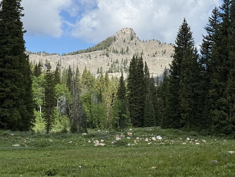
| Mount Magog,
viewed from upper Bunchgrass Creek area |
|||
2026.jpg) |
|||
| Lunch on the Bunchgrass Ridge (aka "Chicken Hill"), looking east toward Logan Canyon | |||
2026.jpg) |
 |
||
| Hairy clematis or "sugarbowls", Clematis
hirsutissima |
Elephant’s head, Pedicularis
groenlandica |
||
 |
2026.jpg) |
||
| Glacier lilies, Erythronium
grandiflorum, near a melting snowbank |
|||
.jpg) |
|||
| Buttercups, Ranunculus sp. | |||
 |
 |
||
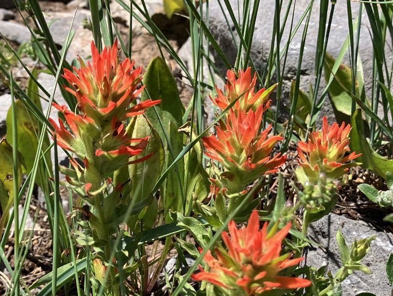
| Paintbrush, Castilleja sp. |
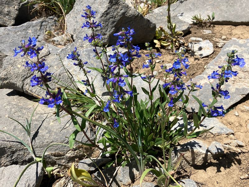
Penstemon sp. | ||
 |
2026.jpg) |
||
| Arrowleaf balsamroot, Balsamorhiza
sagittata |
Wallflower, Erysimum sp. |
||
2026.jpg) |
 |
||
| Scarlet gilia, Ipomopsis aggregata |
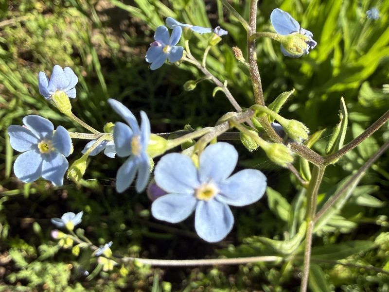
Stickseed, Hackelia sp. |
||
 |
 |
||
| Larkspur, Delphinium sp. |
Snowbrush, Ceanothus velutinus | ||
2026.jpg) |
|||
| Blue flax, Linum
lewisii |
|||
 |
|||
|
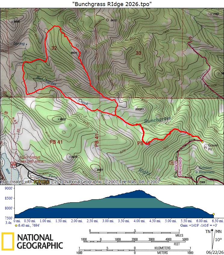
Our GPS track shows about 6.5 miles
and 1400 feet of ascent.
You can look at our route using Google
Earth or download our GPS
file.
|
|||