Home
Burnt Fork, 28 October, 2024
Four Cache Hikers made a Monday excursion to explore an alternative way to access Peter Sinks and to find the weather station on the Peter Sinks rim. Hiking conditions were favorable, since deer hunting season had just ended and the weather had been dry. However, winter was imminent and we knew the snows would arrive soon. A storm was forecast for Monday afternoon, so we took a chance and headed out Monday morning.
From the mouth of Logan Canyon, we drove east to Bear Lake Summit, then south on the Sinks Road to a parking area in South Sink. From here, an ATV trail heads east down Hodges Canyon toward Bear Lake, and an abandoned jeep trail heads west up Burnt Fork toward Peter Sinks. The jeep trail has been officially closed, with boulders blocking the access and numerous berms to stop vehicles, but mountain bike riders have been using it to get to the Peter Sinks area.
We started hiking toward the west, through the treeless depression of South Sink, then up the Burnt Fork drainage. The old jeep road, now a "single track" trail, was easy walking, with smooth tread and a grade of about 6%. We ascended through a mixed forest of quaking aspens and conifers, then left the drainage to traverse a more open terrain along a south-facing slope until we reached the east rim of Peter Sinks, 2.2 miles from our beginning (and 670 feet of ascent). This is where a switchback on a back road (FR 173), an (unauthorized) ATV trail and an unauthorized mountain bike trail all converge, and the location is easily visible when looking east over Peter Sinks.
After admiring the view to the west, we continued on the mountain bike trail to the north. About a half-mile later, we turned left on a lesser-used path, apparently a newly-created route that travels along the north side of Peter Sinks. After another 0.4 miles, we left the trail and traveled south, over the ridge to the weather station, about 100 feet from where we thought we would find it. We enjoyed lunch while looking over Peter Sinks to the south, with Logan Peak in the distance.
On our return, we left the mountain bike trail to get a view of Bear Lake to the east, then followed the ridge on our way back to the trail. The forecast storm was late in arriving, so we had a pleasant return, walking down Burnt Fork under partly-cloudy skies.
Trip Summary:
- Four hikers: Dave P, Ralph, Dick, and Dave W (leader)
- Drove 33 miles to South Sink
- Started hiking about 9:45, lunch near the weather station 12:00 - 12:25, back at our vehicle at 2:15
- Mostly sunny skies, temperatures in the 40s with a light breeze
- Hiked about 6.5 miles with nearly 1000 feet of ascent
Thanks
to Dave W for the narrative and GPS data, Dave W, Dave
P and Ralph for photos.
 |
|||
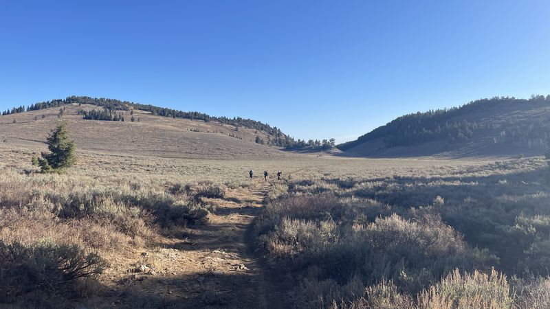
| Crossing the treeless depression of South Sink on the old jeep road (looking east) | |||
 |
|||
| The trail through the mixed aspen/conifer forest was covered with fallen leaves | |||
 |
 |
||
| The trail
continued up the more open south-facing slope of
Burnt Fork |
|||
 |
|||
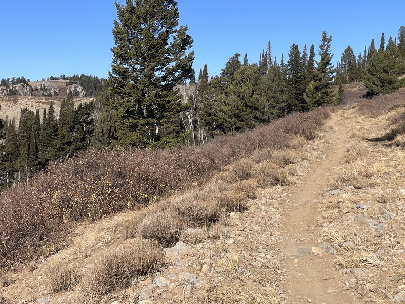
| Almost to the Peter Sinks east rim, as evidenced by seeing the cliffs on the west side | |||
 |
|||
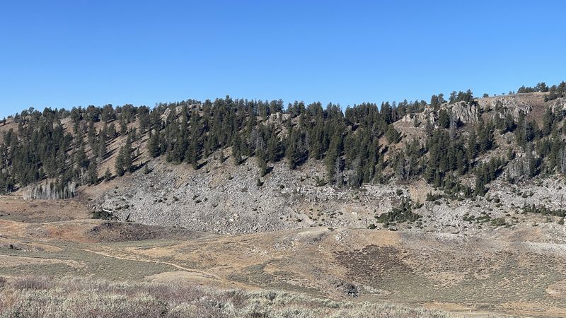
| Looking west from the east rim of Peter
Sinks,
at
the top of Burnt Fork |
|||
 |
|||
| Looking east,
from Peter Sinks (photo from an earlier trip) |
|||
 |
 |
||
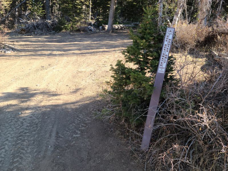
| The non-confrontational "Use
Designated Routes Only" sign does not inform
riders that these trails are unauthorized |
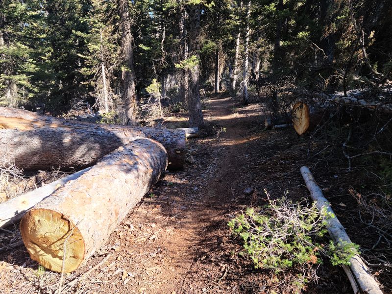
Someone has been clearing large logs
from the mountain bike trail |
||
 |
|||
| The weather
station on the north rim of Peter Sinks |
|||
 |
 |
||
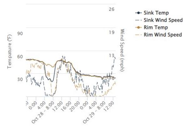
| 48.4 ºF with a wind of 9.6 mph
when we were there at 12:00 on Oct.28, 2024 (https://climate.usu.edu/PeterSinks/) |
|||
 |
|||
| Our lunch spot on the
north rim of Peter Sinks - with
increasing clouds from the west |
|||
 |
|||
| A view of Bear
Lake to the east |
|||
 |
 |
||
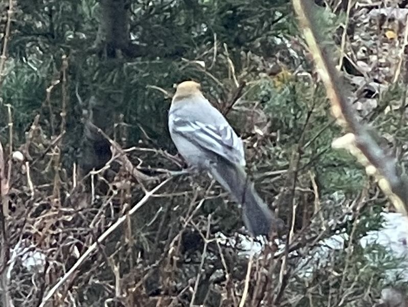
| Male and
female pine grosbeak birds among the aspen trees |
|||
 |
|||
|
Our GPS track shows about 6.5 miles
and nearly
1000 feet of ascent.
You can look at our route using Google
Earth or download our GPS file.
|
|||