Burnt Fork to Peter Sinks, 13 September 2026
After introductions and splitting into carpools, we drove 33 miles to the Sinks Road junction and then another 2 miles to the parking area at Burnt Fork in South Sink. After the group had assembled, we began our hike up to Peter Sinks. Weather conditions were pleasant, albeit slightly warm for a mid-September hike in the Bear River Range, with mostly sunny skies and temperatures around 60°F.
The hike started at Burnt Fork in South Sink along Sinks Road. The starting elevation is about 7,700 feet, making for an easier ascent up to Peter Sinks (~700 feet) than the alternative Stump Hollow Trail (~1,400 feet). This area includes North Sink, Middle Sink, and South Sink, a large, depressed area surrounded by the higher range around it.
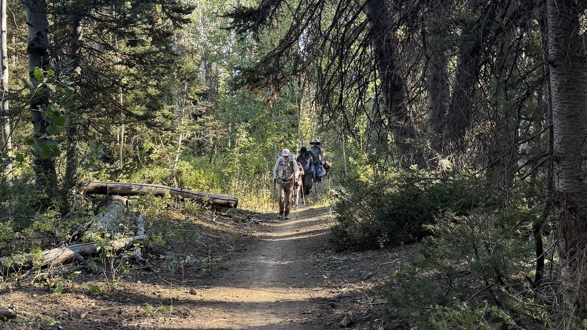
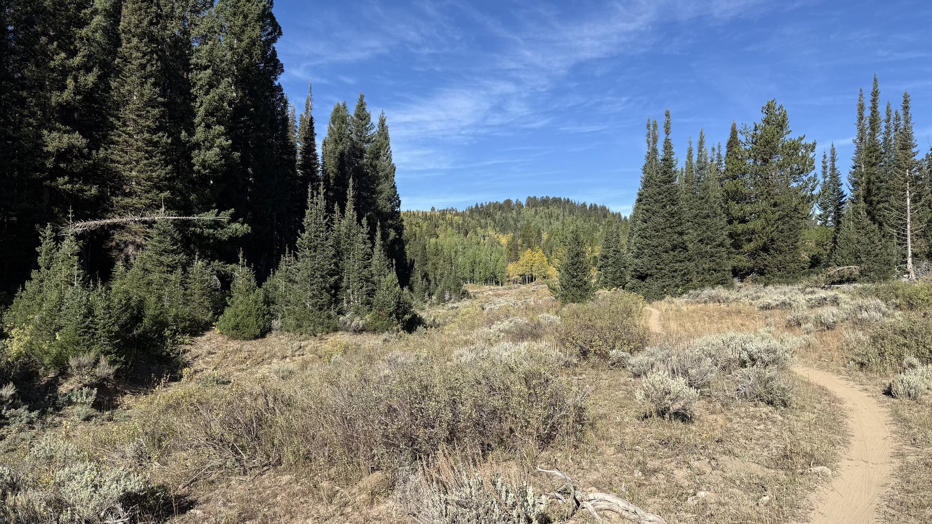
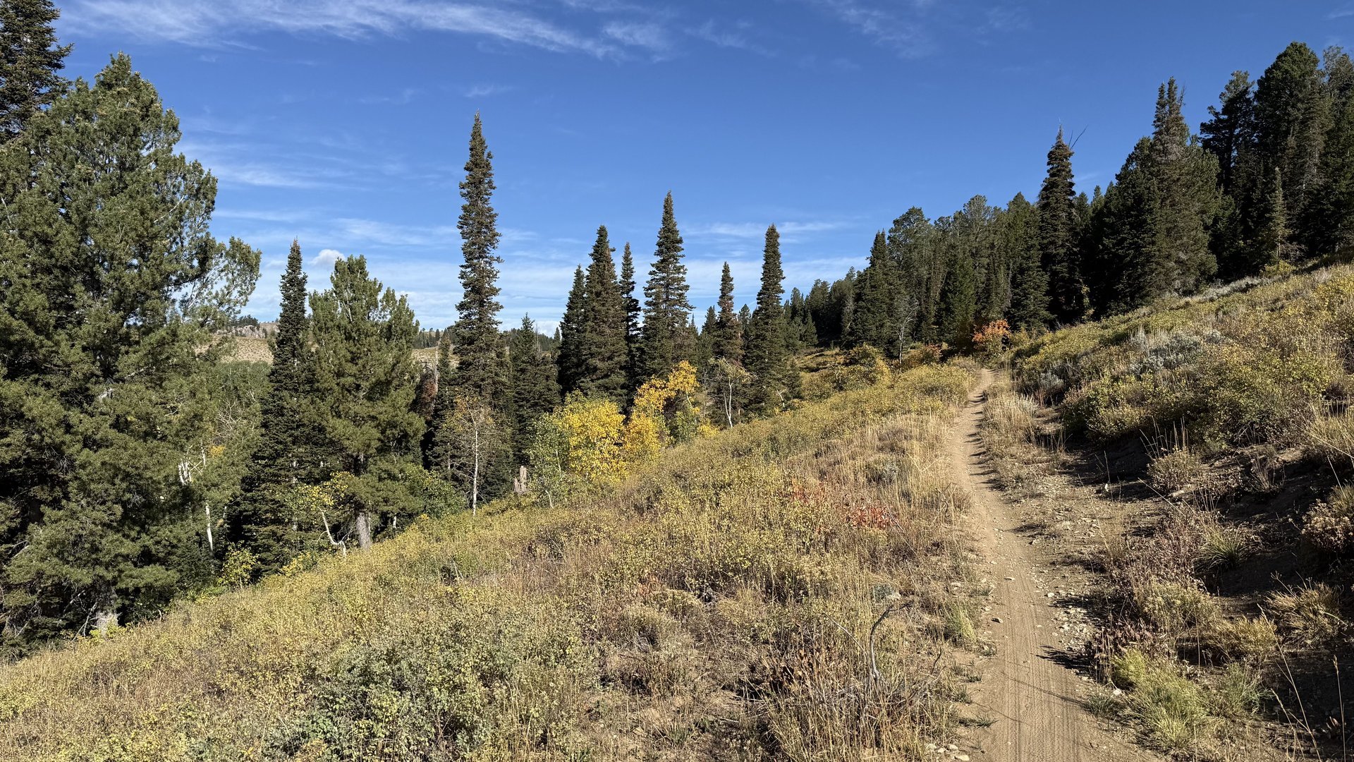
For the first half mile we headed slightly southwest through the open South Sink area until we reached the tree line. We entered the wooded area and headed northwest up the Burnt Fork trail for another 1½ miles before reaching the rim above Peter Sinks at about 8,400 feet. This section of the trail is a mixture of wooded areas with open sections along the way. The forested area was a mosaic of dense fir and spruce on cool aspects, open aspen groves across gentle slopes, and mixed Douglas-fir or limber pine on drier exposures. We stopped briefly to discuss the area geology and identify a lone Douglas-fir standing tall alongside the trail. The quaking aspens were beginning to show their fall color, although still in the early stages.
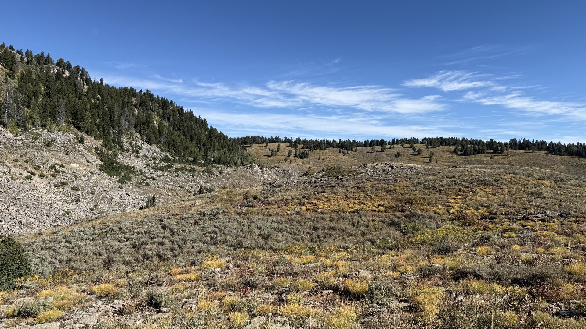
We stopped briefly on Peter Sinks Road at the rim to talk about the famous cold pool that can form at Peter Sinks. At this location on the east side of Peter Sinks, the dense, extremely cold air overflows the rim. The lack of vegetation on the Burnt Fork side provides evidence that extremely cold air overflows at this point. This is the spot where the trapped cold-air pool stops growing vertically as it begins to overflow into the surrounding drainage.
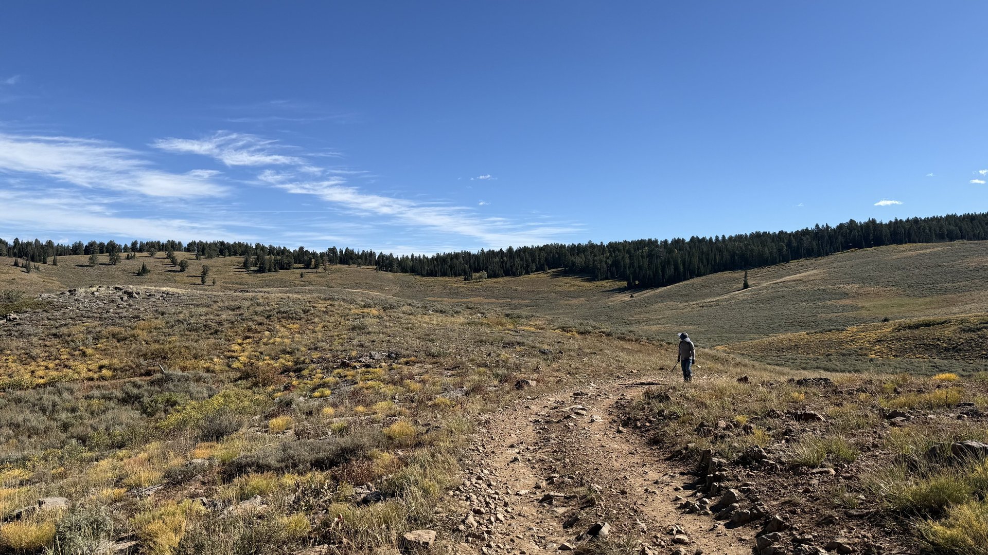
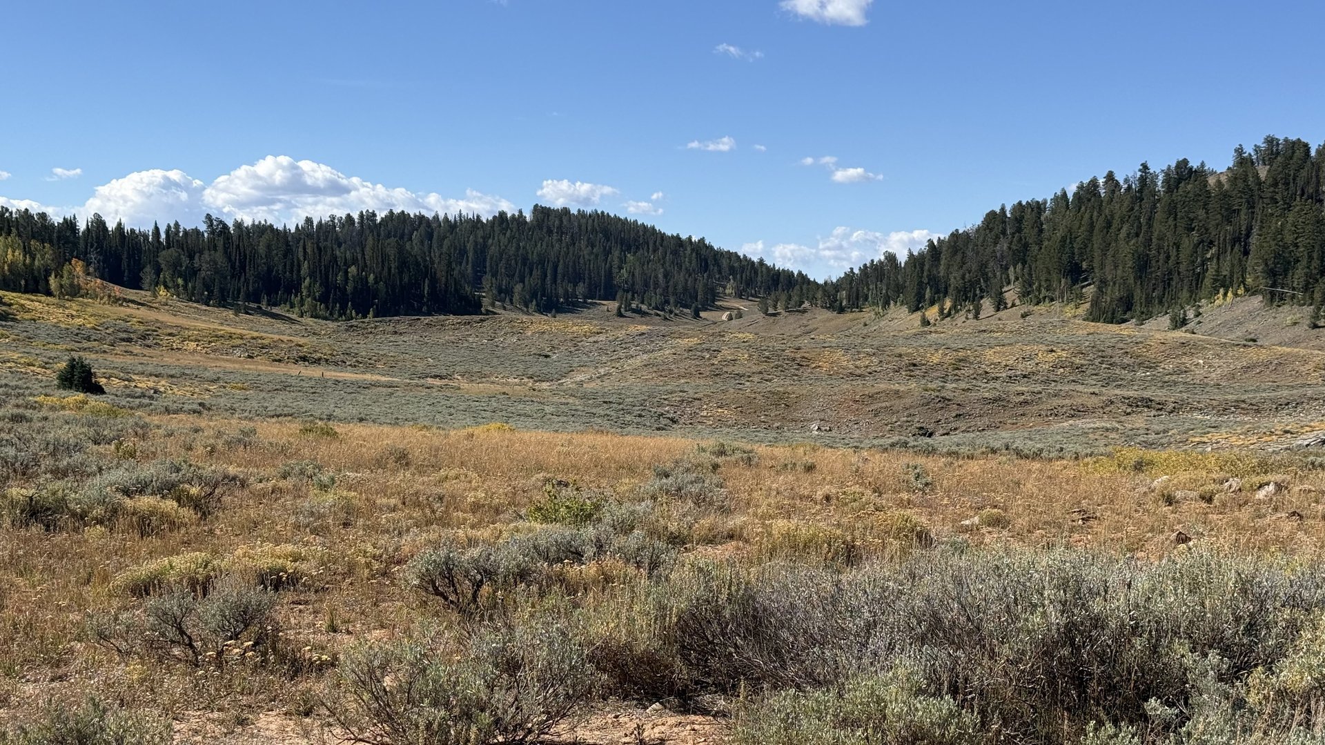
Peter Sinks consists of a series of sinks within two larger depressions: the north lobe and the south lobe. We continued southwest down the road into Peter Sinks, traveling another mile until we reached the saddle between the north and south lobes. The saddle between the two lobes forms the first low point where dense cold air from the north lobe can potentially spill over into the south lobe. During the 1999 Peter Sinks study, a portable weather station was installed at this location. However, very little air movement was measured, and the cold-air pool in the north lobe continued to deepen.
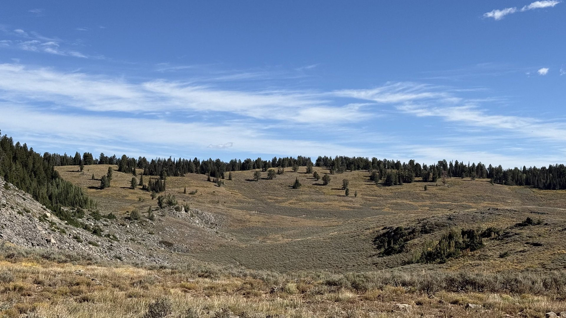
The most likely explanation is that the south lobe was developing its own cold-air pool at the same time, resulting in similarly cold air on both sides of the saddle and minimizing airflow between the two basins. This location also provides an excellent view of the inverted tree lines in both lobes. We noted the inverted tree line at approximately 8,300 feet in elevation. The tree line exists because temperatures within the sink are too cold for saplings to establish below this elevation. In this respect, the sink exhibits the opposite pattern of a typical mountain tree line, where temperatures become too cold for trees to grow at higher elevations.
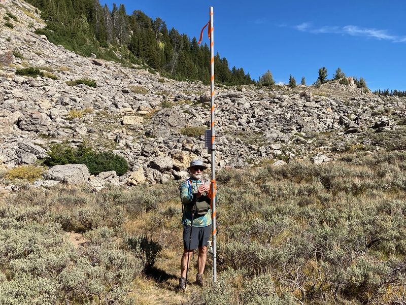
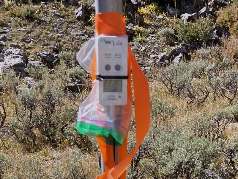
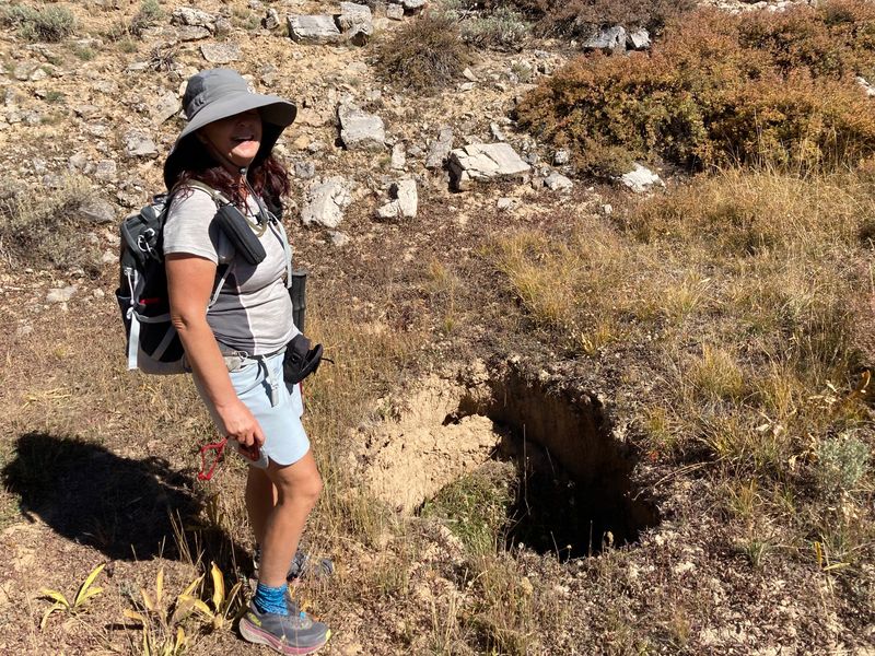
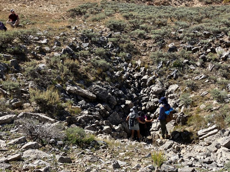
We then reversed course northward to find the absolute lowest point in the sinks, at about 8,100 feet. We were surprised to see a small mast at that location with a temperature recorder. We speculated that Utah State University was collecting data for a study they might be doing. We continued north through another small sink, noting there was a large hole in the bottom that was not there previously. The limestone formations here are continuing to dissolve just as they have for millions of years. While in the area we also visited another sinkhole that we routinely visit. Several of us climbed down into the depressions to feel the cold air at the bottom. We found no ice today, although we have previously observed it at this same location during visits at this time of year. We were now in the oldest rock formation of this hike, the Blacksmith Dolomite Formation, and surrounded by the younger Bloomington Formation we had been traversing.
We climbed out and headed back northeast on Peter Sinks Road, noting the official weather station. This is where Utah State University collects meteorological data for the basin. It was at this location that a temperature of −62.7°F was measured during the winter of 2023. It is located here instead of at the lowest spot, most likely because the lowest spot is shielded from the sun in winter, so no power would be available, and the snow depth would most likely interfere.
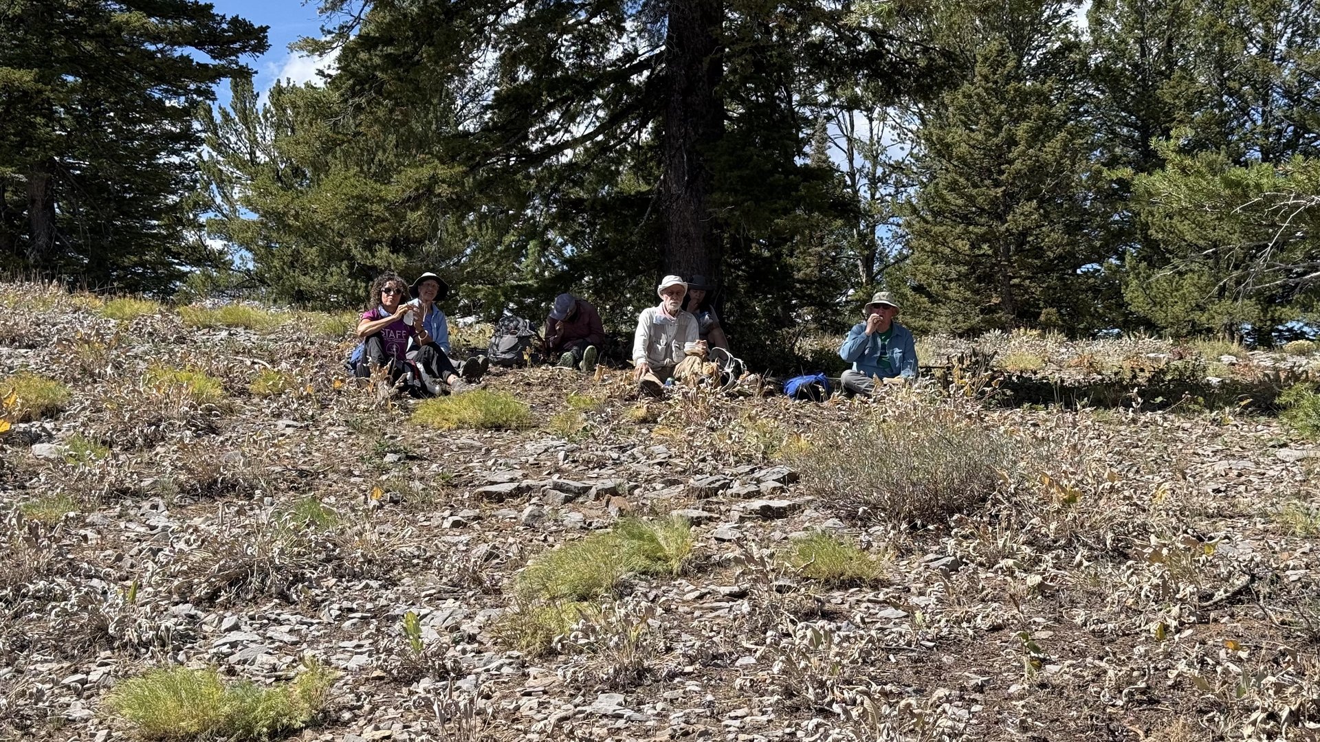
We continued east back up to the rim to the top of Burnt Fork, at this point about 4.5 miles into the hike. We made the decision at that point to travel northeast on the trail to find a great lunch spot overlooking Bear Lake at an elevation of about 8,550 feet. After a 30-minute break to enjoy lunch with a spectacular view overlooking Bear Lake, we headed back to Burnt Fork and returned to our starting point—a total distance of about 7.5 miles with a combined ascent of about 1,250 feet. The only location we did not visit was the rim weather station, located a little farther west on the north side of the rim. It is located at about 8,440 feet, meaning it sits slightly above the elevation where the dense cold air spills over. It is fascinating to monitor the rim and sink temperatures on still nights to see the dramatic differences in temperature at only about 300 feet of height difference.
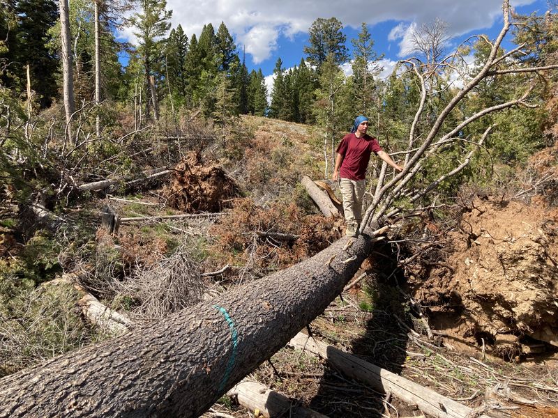
We took the opportunity on the return trip to stop at the location along Sinks Road where an EF-1 tornado touched down earlier in the spring this year. We were all amazed at the tree damage that had occurred for the short distance the tornado had traveled on the ground.
For additional information on the Peter Sinks Study of 1999 and the Geology of the Peter Sinks area, you can download a couple of reports from the download section below. The Peter Sinks Study is fascinating because Peter Sinks does not fit the standard cold pool model.
Trip Summary:
- 13 hikers: Brent J, Dave P, Dave W, Jane, Jim, Irene, Kamren, Lin, Nancy, Ocean, Stephanie, Susan, and Ralph (Leader)
- Drove 35 miles to the South Sinks parking area.
- Started hiking at about 9:00 a.m.; lunch from 12:15 to 12:45 p.m.; completed the hike at about 1:45 p.m.
- Great hiking conditions with sunny skies, scattered clouds, mild temperatures, a light breeze, and early fall colors.
Editors note: Based on USGS maps, the
jeep road through South Sink and Burnt Fork was closed
sometime before 1998 and earthen berms were
constructed to deter motor vehicles. (The Peter Sinks
Road, one mile to the south and with a more
sustainable alignment, is a better motor vehicle route
to Peter Sinks.) Now, the old Burnt Fork road is
an unofficial route used by hikers and mountain bikers
(they use the berms for jumping). Unauthorized
trail maintenance work (by "trail fairies"?)has been
done, including cutting fallen trees and building
jumps. Forest Service personnel have indicated
that they may add this route to their
official trail inventory some time in the future.
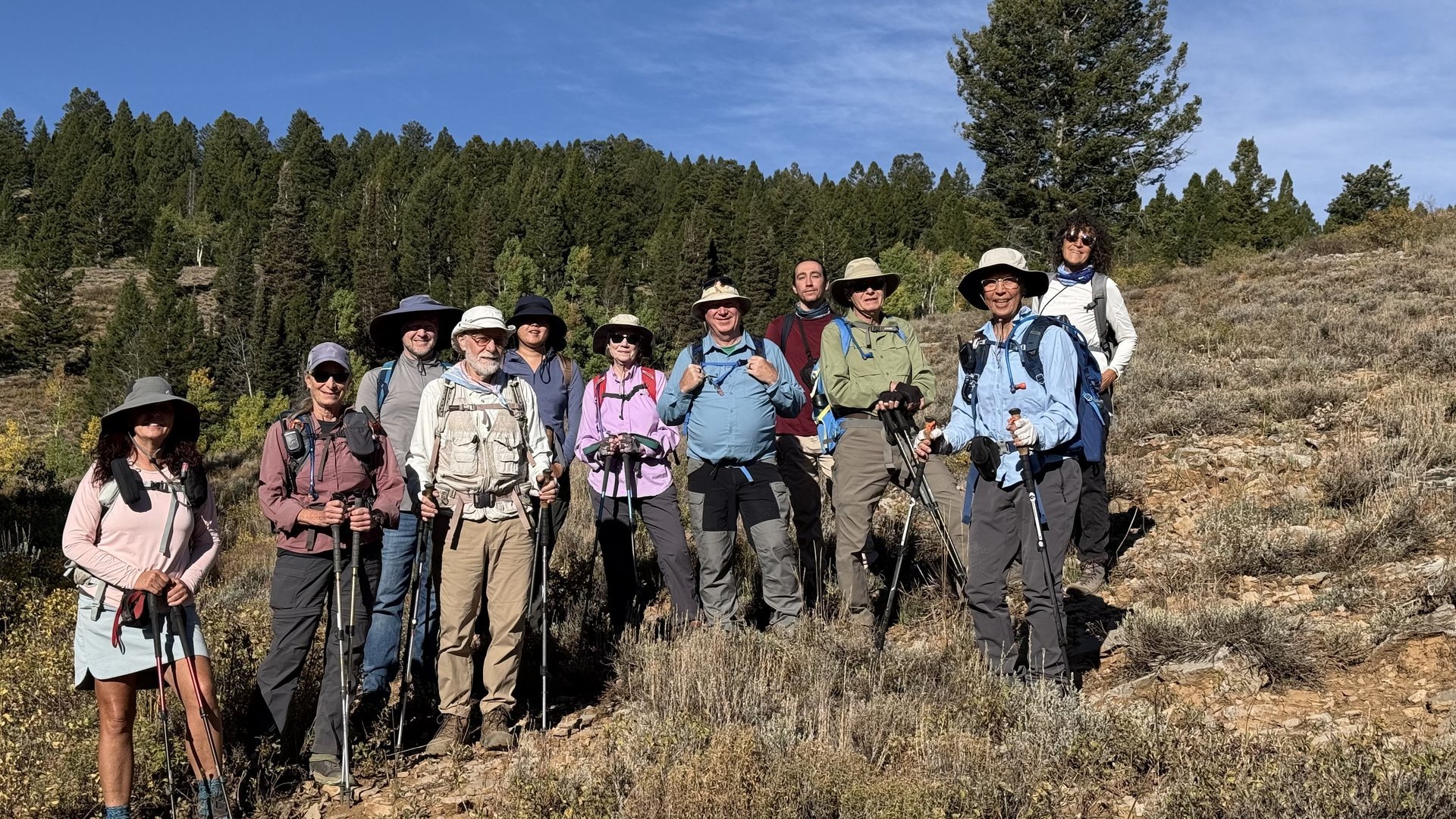 |
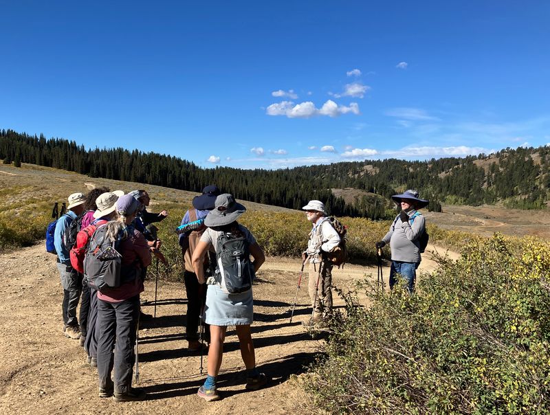
| Cache Hikers gathered for a group picture |
 |
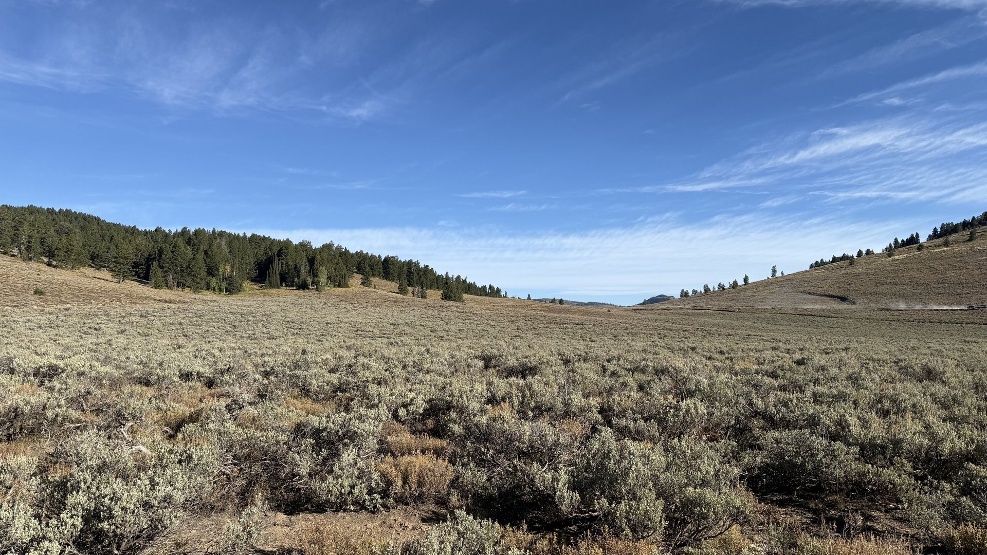 |
| Hiking through South Sink toward Burnt Fork | Looking NNW up South Sink |
|
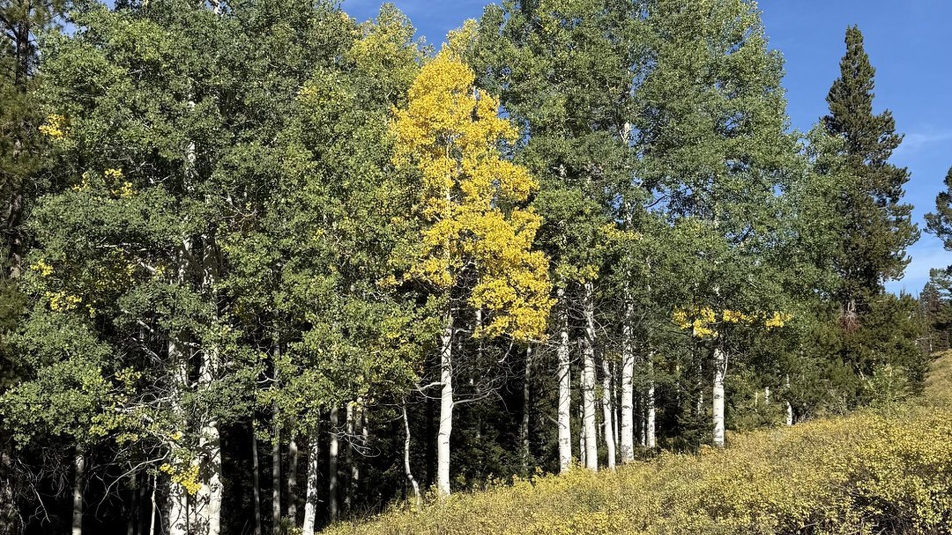 |
| Headed west up Burnt Fork | Aspen
grove developing fall colors |
 |
 |
| Halfway up Burnt Fork | Approaching
Peter Sinks Road from Burnt Fork |
 |
| Overlooking Peter Sinks from the
top of Burnt Fork |
 |
| North lobe of Peter Sinks |
 |
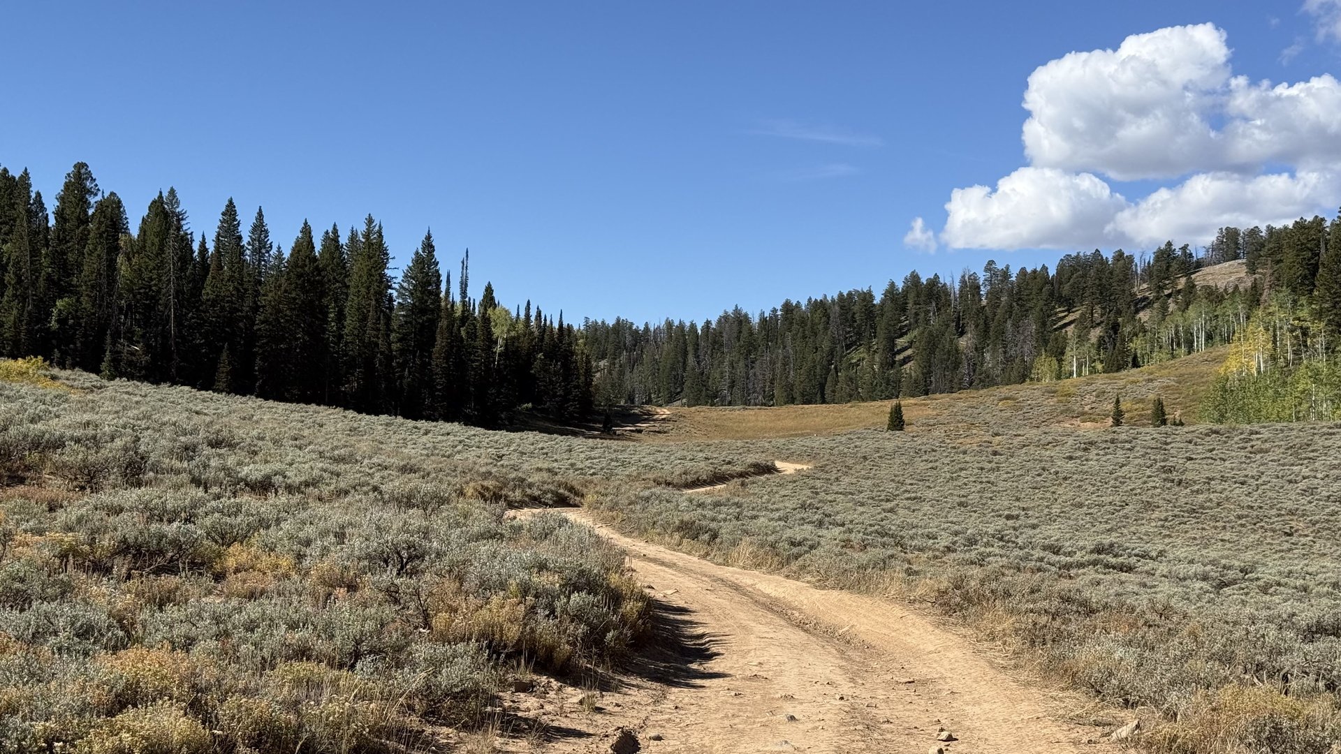 |
| Peter Sinks Road heading NE | Approaching the saddle between the north and south lobes |
 |
 |
| The saddle view of the north lobe of Peter Sinks | The saddle view of the south lobe of Peter Sinks |
 |
 |
| A temperature recorder at the
lowest location in Peter Sinks - part of a new
research project |
|
 |
 |
| The Great Western
Trail passes by Peter Sinks |
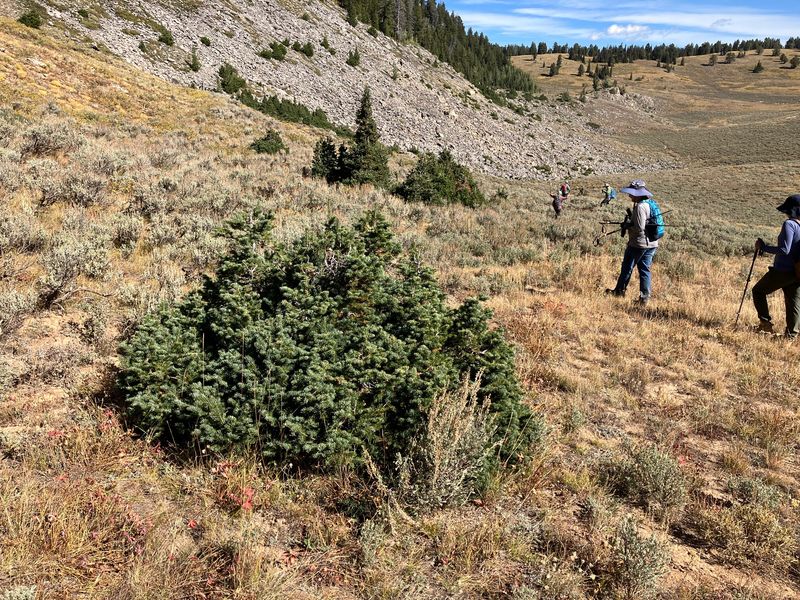
Stunted trees
grow along the slope above the sinks |
 |
 |
| A new sinkhole has formed at the bottom of a minor sink. | Checking for ice |
 |
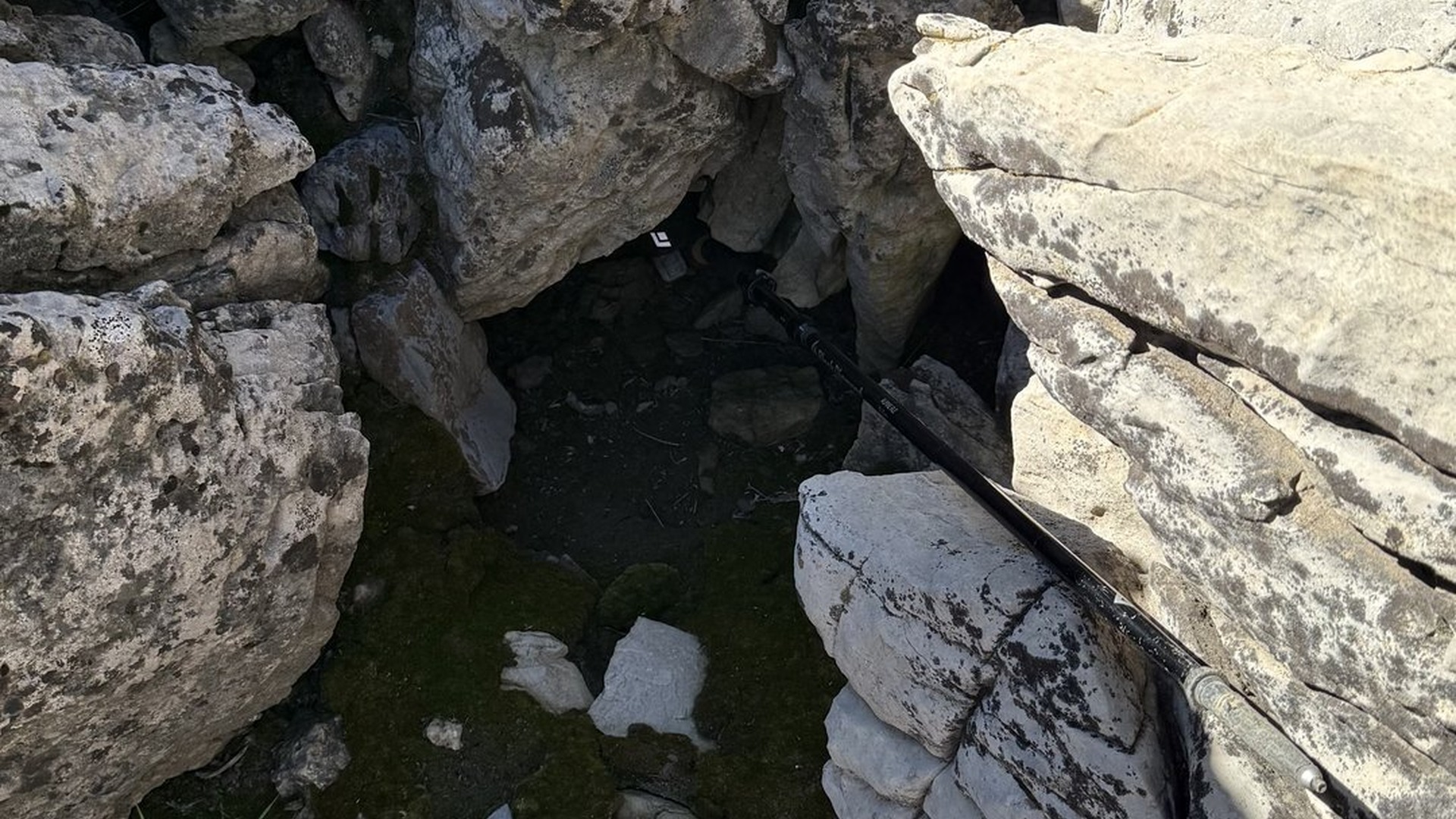 |
| Looking up from the location of our annual ice check | No Ice this year at our routine check of this location |
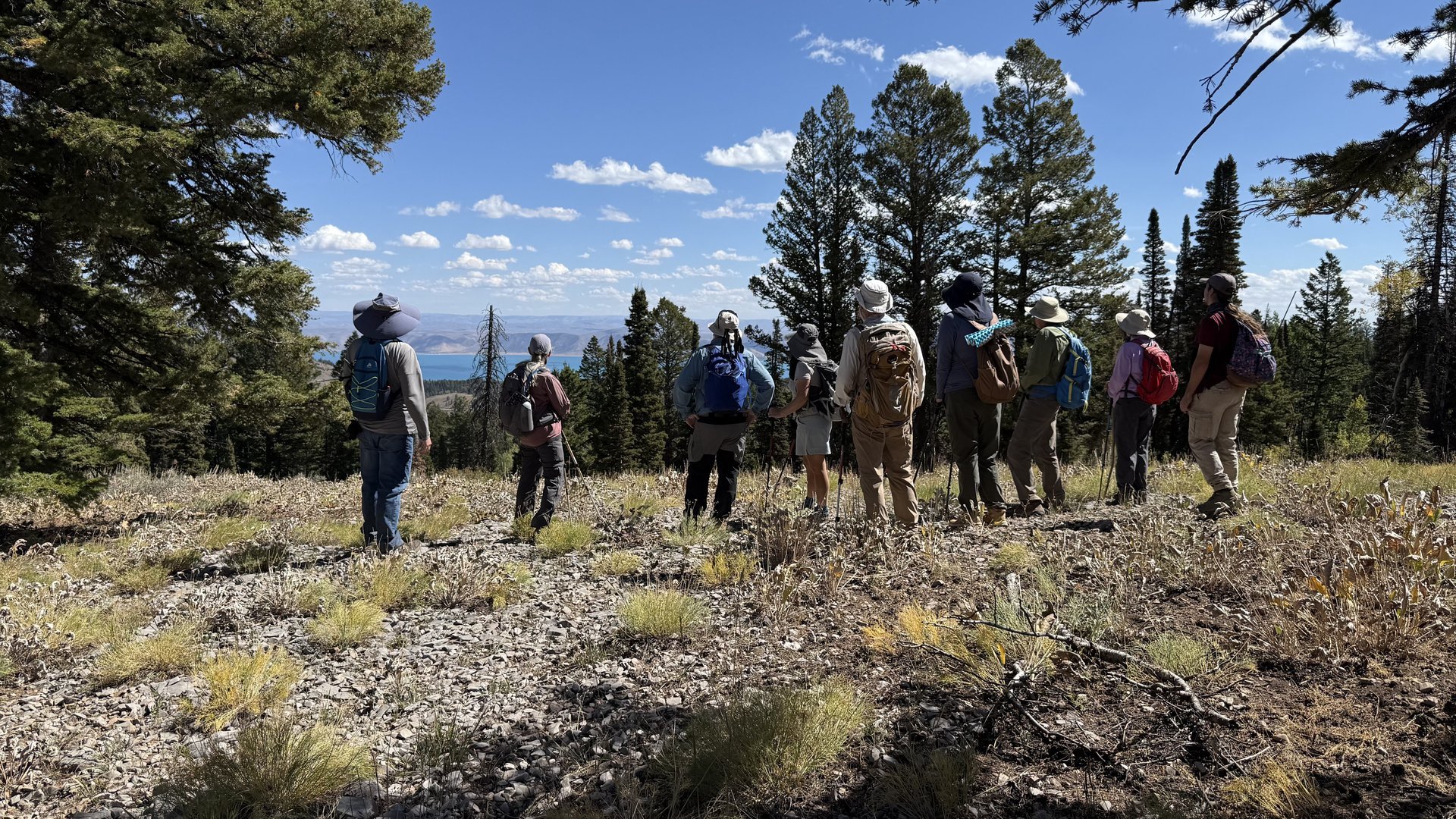 |
| Cache Hikers Enjoying the view of Bear Lake |
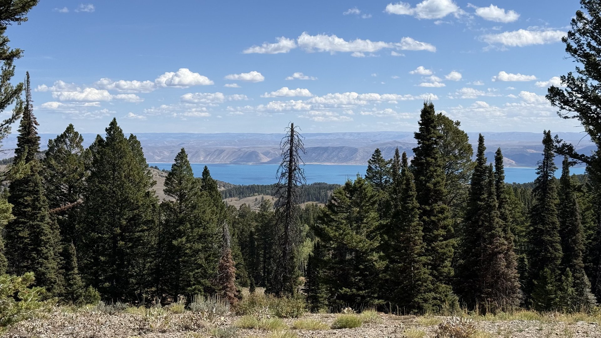 |
| Gorgeous View of Bear Lake to the ENE |
 |
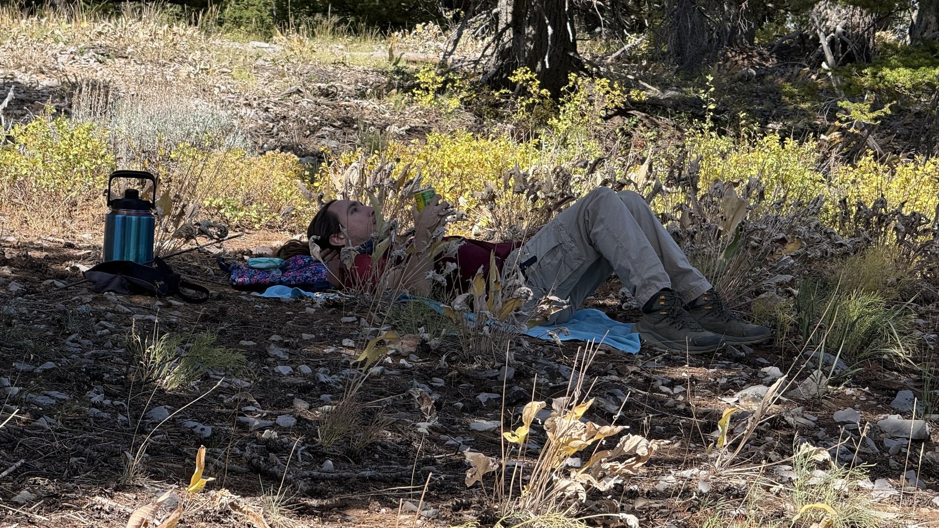 |
| A shady lunch spot with a view of Bear Lake | Chillin' in the shade |
 |
|
| Trees near the Sinks Road had been
knocked down by a tornado |
 |
 |
 |
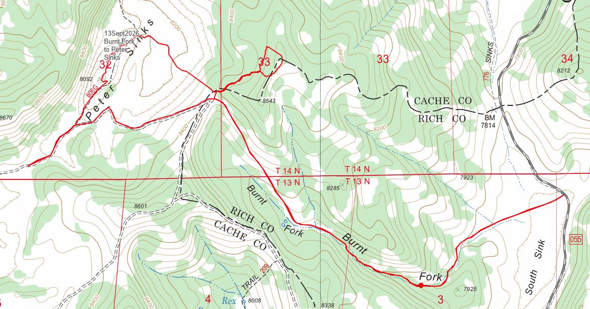
| Our GPS track shows about 7.5 miles with 1,250 feet of ascent. You can look at our route using Google Earth or download our GPS file. |
| Downloads |
Thanks to Ralph for the narrative, photos and gpx data, and Jane, Dave P and Kamren for photos.