Home
Card Canyon Loop, 19 July, 2026
We drove up the still-not-great road to the gate and parked. The archery area had people who were likely preparing for their rendezvous. They asked if we were Cache Hikers.
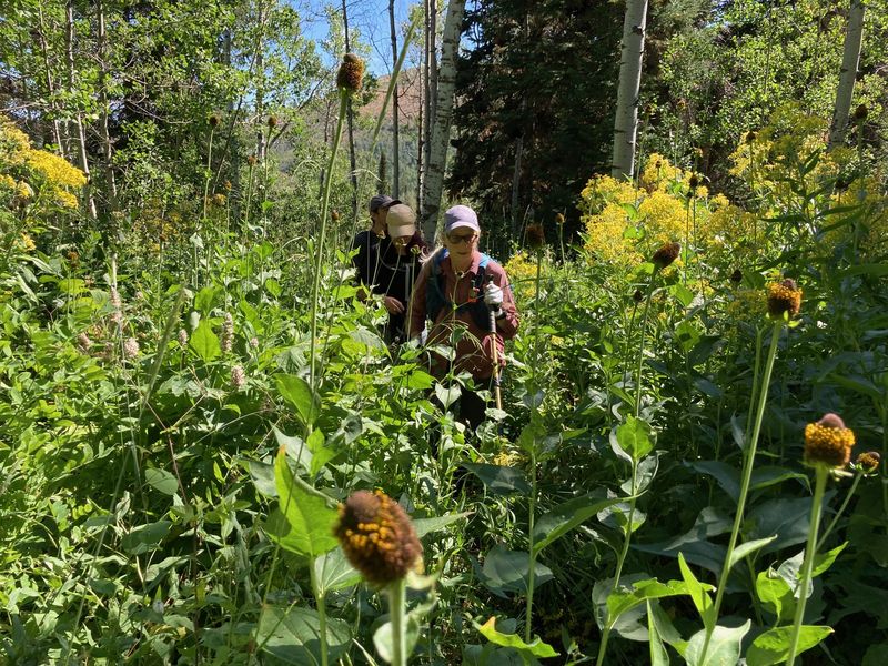
We went up the east canyon up to the ponds. There were a lot of flowers and the foliage was very tall. The trail was in excellent condition. At the last pond we decided to stay on the trail to the road. We likely could have done the cutoff directly to Card Canyon West, but it was brushy and we weren't sure about the tree-fall situation.
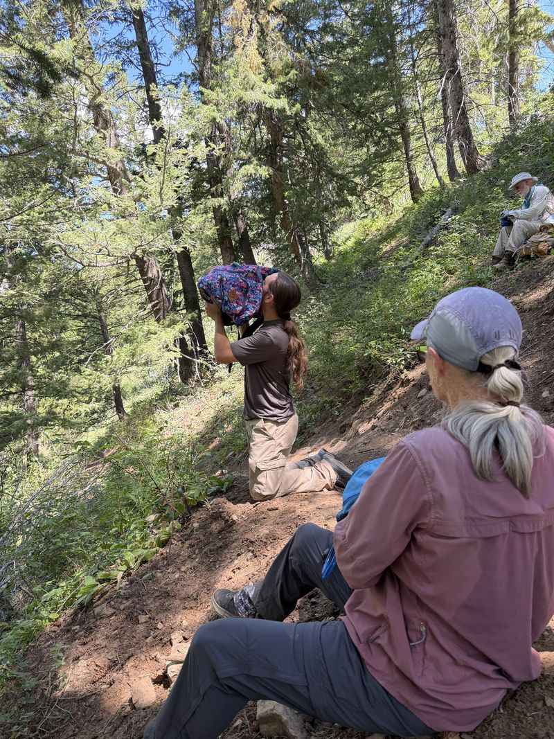
We then walked the road to the west side trail. It was hot and not much wind. The top part of the trail is in poor condition and rutted from the motorcycles. We found a shady spot for lunch. Then made our way down to the archery area and tried to spy/find all of the animal targets.
We passed one side-by-side (UTV) vehicle on the upper road and one motorcycle on the west trail. The motorcycle went down to the archery area and then went back up. We did not run into any other hikers or large live animals.
It was a lovely hike and the plants and flowers were abundant and huge, but we were hot and tired at the end!
Trip Summary:
- Eight
participants: Kamren, Susan, Stephanie, Richard, Dave
P, Ocean, Bruce and Sue (leader)
- Drove 11 miles to the gate in Card Canyon
- Hiked from
the Card Canyon gate to the archery area, south up
Card Canyon East to Adams Corral Road, then north on
the (motorcycle legal) Card Canyon West trail to
complete the loop
- Blue skies,
warm temperatures and calm winds
- Hiked about
7.1 miles with 2400 feet of ascent and descent
Thanks
to Sue for the narrative and photos, and Dave P and
Richard for photos.
 |
|||
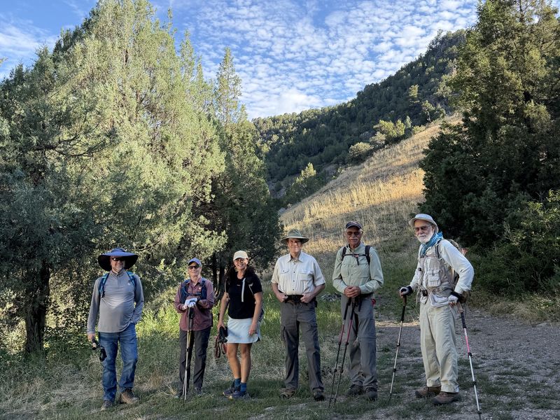
| Starting out
from the Card Canyon gate |
|||
2026.jpg) |
2026.jpg) |
||
| Mountain lion claw marks? |
The standing stone in Card Canyon East | ||
 |
|||
| Trailside vegetation was shoulder-high | |||
2026.jpg) |
|||
| Climbing up to the Adams Corral Road
after passing an old beaver pond |
|||
 |
 |
||
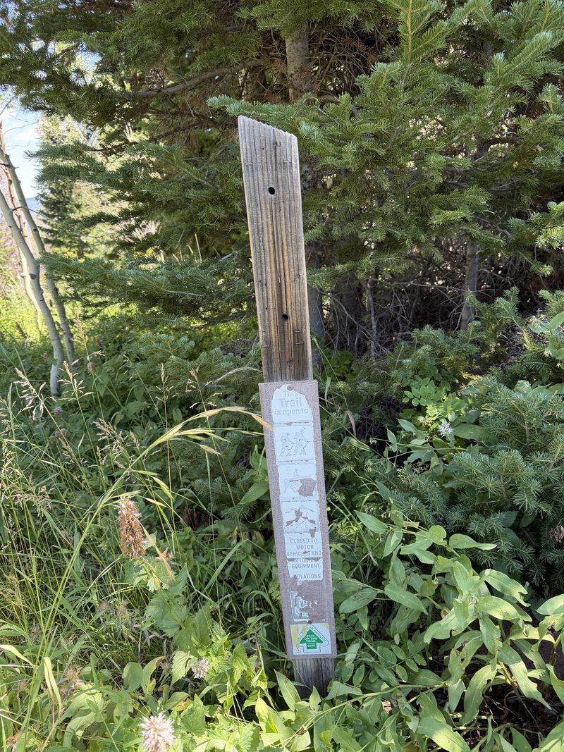
| The trail sign at the top of Card Canyon East is missing | Lunch in Card Canyon West |
||
 |
|||
|
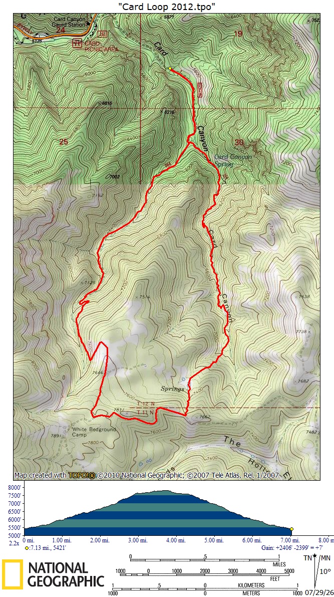
There is no GPS track for this hike,
but it is similar to the above GPS track from
2012, about 7.1 miles with 2400 feet of ascent
and descent. You can look at that route using
Google
Earth or download our GPS
file.
|
|||