
Home
Cherry Peak, 20 September, 2020
Fifteen
hikers and one dog turned out for the socially distant
Tony Grove to Cherry Peak hike. Eleven hikers met at
the regular spot and four joined us at the Tony Grove
trailhead and started on the trail about 9:10 a.m.,
enjoying the cool (if a bit smokey) morning air at 8000
feet elevation. Jack provided a naturalist talk about a
500 year old Engelmann Spruce which is found along the
trail (this tree is huge).
There
were mountain bluebirds, juncos, Clark's nutcracker,
raptors along the way. The trail passed the (now dry)
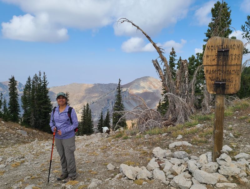
waterfall and went up to the saddle at 9800 feet elevation
at the Wilderness boundary near Mt. Naomi. The group split
here, with Dave P., Dave W., Laurel, Jane and Susan going
to Naomi Peak (9979 feet) and returning to Tony Grove,
Jack heading off toward White Pine Lake for a solo
off-trail loop and the others continuing down the trail
toward Cherry Peak.
Cherry
Peak hikers, Dan, Deanna, Beula, Naveen, Teresa, Tawnya,
Ralph, Blake and Matt descended to the High Creek saddle,
climbed to the southwest side of Cherry Peak and made the
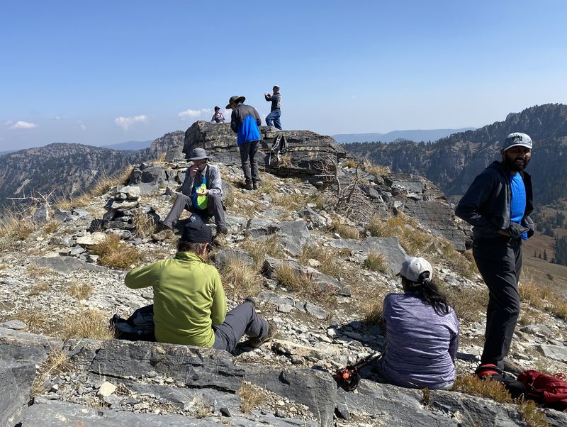
steep ascent to the peak. The nine hikers spent a
half-hour on top of 9765 foot Cherry Peak enjoying lunch
and taking photos. They were joined by an
acquaintance from the University who was trail
running the entire Summit Creek drainage (amazingly
enough).
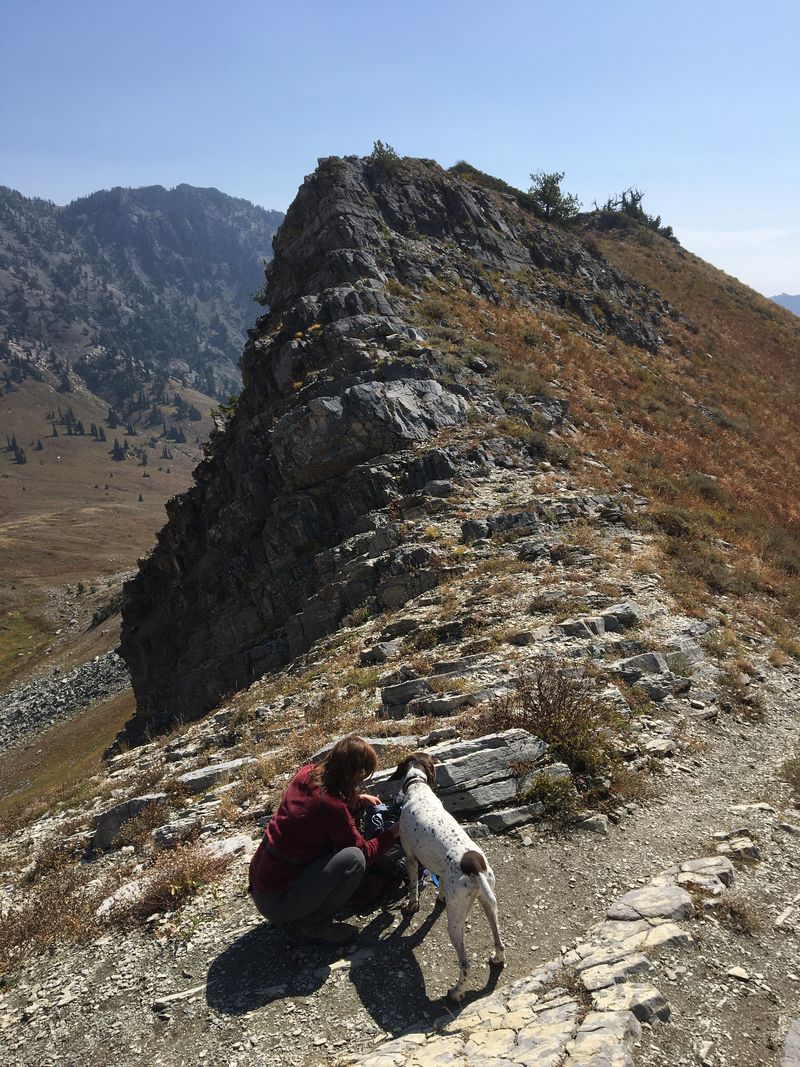
After lunch on the peak, Tawnya and Matt followed the ridge to the west into Cherry Creek drainage, ending at the Cherry Peak ski resort (see http://www.cachehikers.org/Reports/TonyGroveCherryCreek/NaomiPeakCherryCreekSept2018REPORT.html for a description of a similar hike). Ralph, Teresa, Buela and Naveen returned along the same route they followed to the peak. Deanna, Dan, Blake, and Jasper the dog went down the ridge to the east, descending a rocky, exposed section before joining the other hikers at the High Creek saddle. The group, now seven in number, climbed back to the Naomi saddle, where Blake went ahead on his own while the other took a short rest.
The
descent back to Tony Grove Lake was uneventful although
there were multitudes of hikers coming up the trail and
the afternoon temperature was warmer, too. Hiking
ended at the trailhead parking lot about 4:45 p.m. after
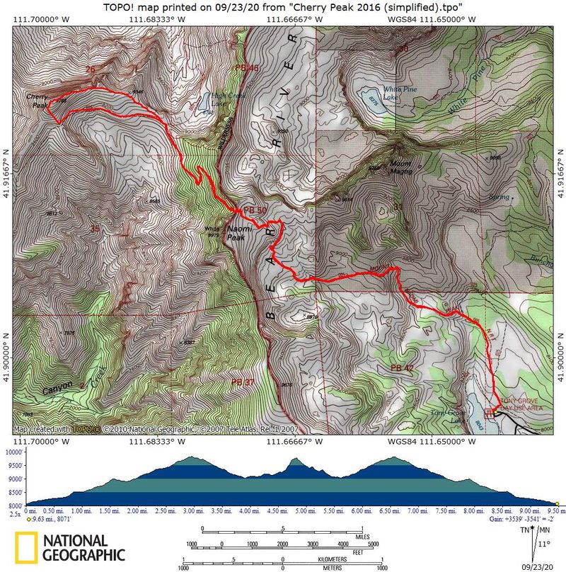
about 9.6 miles and 3400 feet of climbing (of course the
distance and ascent totals were different for the other
groups).
Trip Summary:
- 15 people
and one dog participated: Ralph, Dave P., Jack,
Deanna,Teresa, Laurel, Susan, Blake, Dave W., Jane,
Dan (leader) and Jasper (dog) met at Logan, Tawnya,
Matt, Beula and Naveen met at Tony Grove.
- Drove 29
miles to the Tony Grove Day Use Area
- Started
hiking about 9:10, lunch on Cherry Peak 1:00 - 1:35,
back at the trailhead about 4:45
- Cool in the
morning and comfortable temperatures in the afternoon,
a light breeze, with mostly clear skies but a bit hazy
from distant wildfire smoke
- Our GPS
track shows 9.5 miles round trip with 3400 feet of
ascent
Thanks to Dan for the narrative, photos and GPS data, and Dave P., Deana, Jane and Dave W. for photos.
 |
|
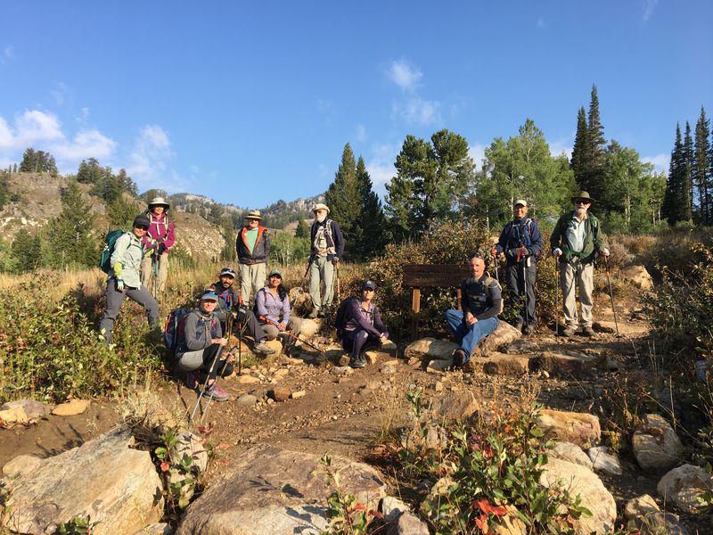
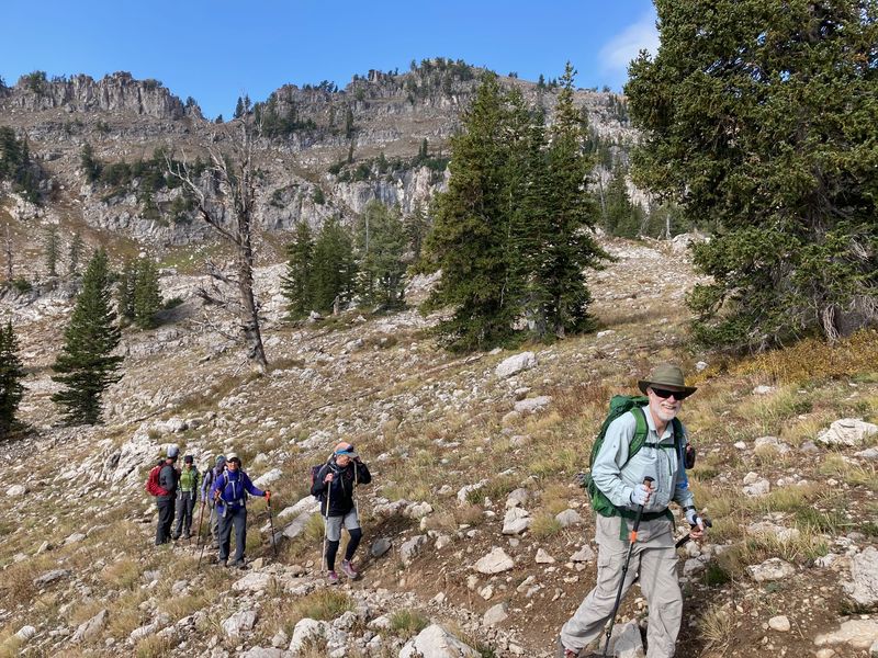
| Near the start
of the hike |
|
 |
 |
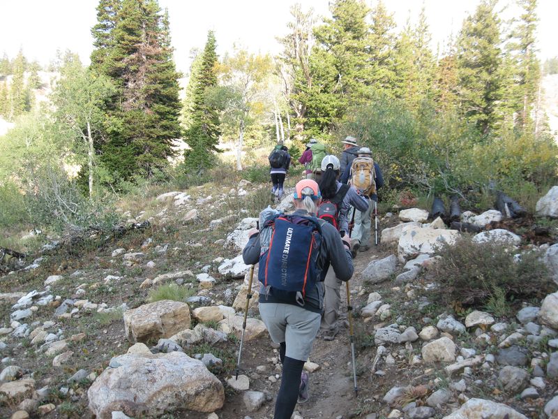
| Heading up the trail in the
morning |
Jack told us about this large
spruce tree near the trail |
 |
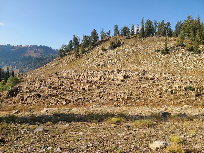 |
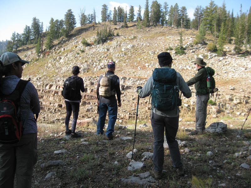
| Viewing the "Giant Staircase" | The quartzite stairs ("Giant Staircase") |
 |
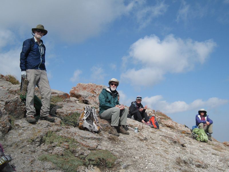 |
| Hiking the Mt. Naomi Peak National Recreation Trail | Lunch on Naomi Peak |
 |
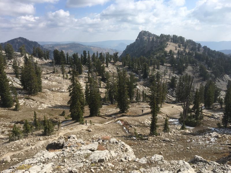 |
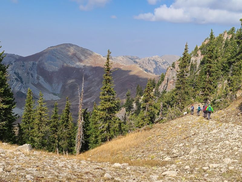
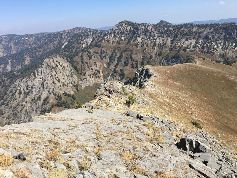
| The Wilderness boundary near Naomi Peak, with Cherry Peak in the background | Looking
northeast to Mount Magog, with hikers on the trail
below |
 |
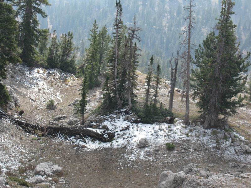 |
| Hikers heading west toward Cherry Peak | Snow remaining from yesterday's storm |
 |
 |
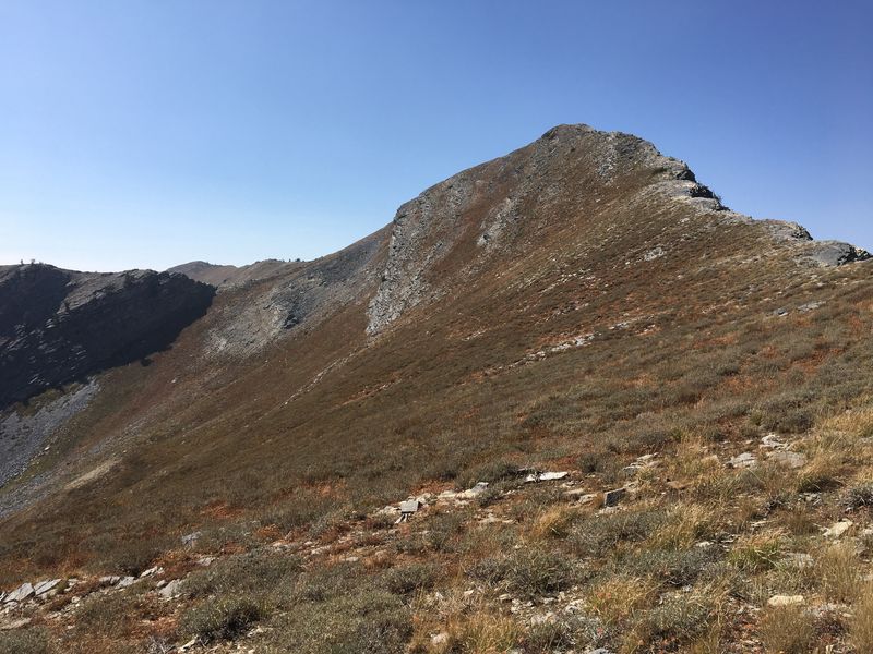
| Approaching Cherry Peak |
Flattop doesn't look flat when
viewed from the north |
 |
 |
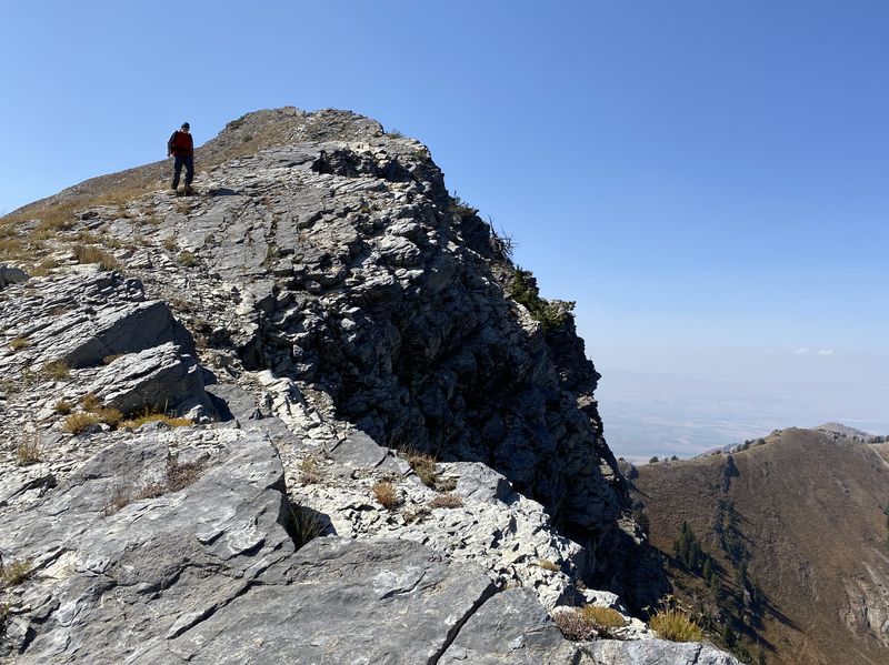
| This is the way to Cherry Peak | Ascending Cherry Peak west
ridge |
 |
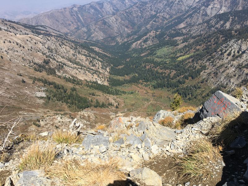 |
| Lunch on Cherry Peak | Looking north from the peak into High Creek South Fork |
|
 |
| Descending the east ridge of Cherry Peak | |
 |
 |
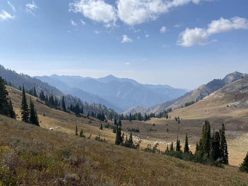
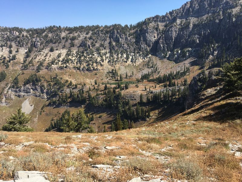
| Looking northeast toward High
Creek Lake |
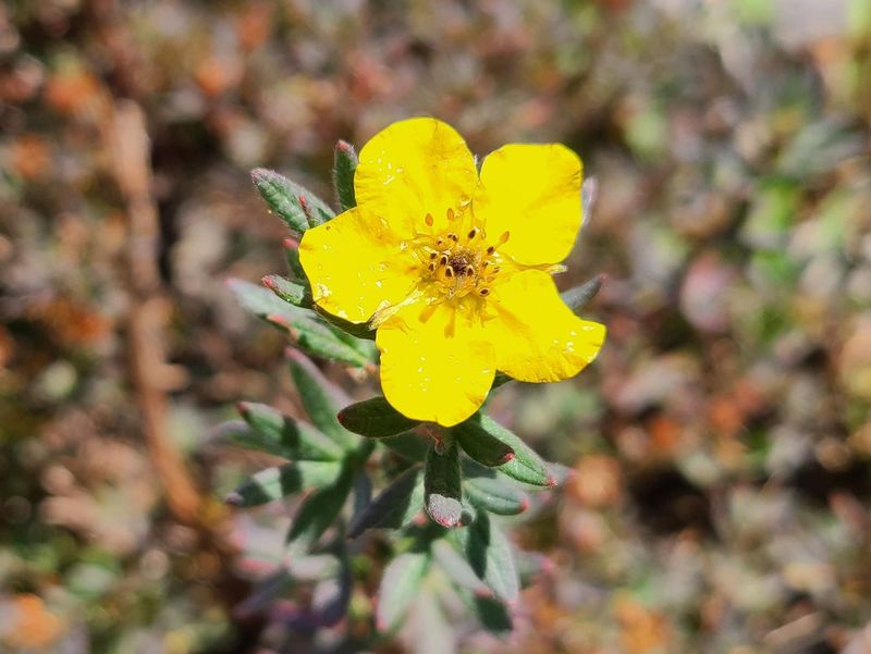
Shrubby cinquefoil |
 |
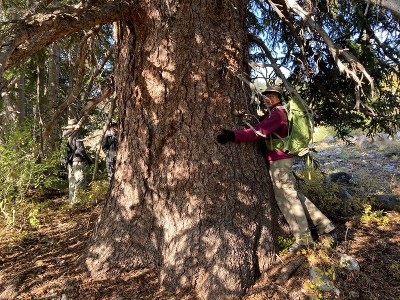 |
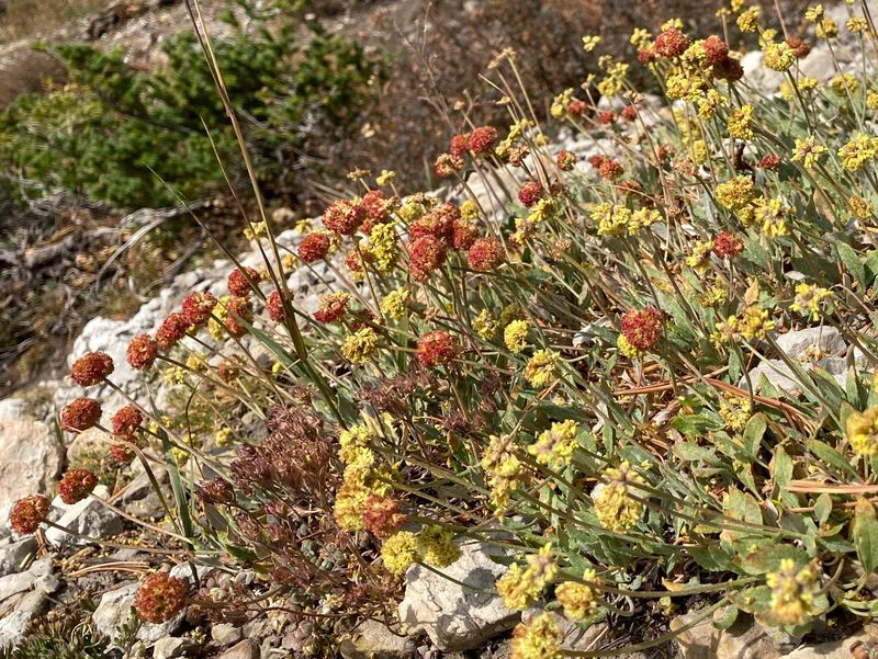
| Sulfur buckwheat | Tree hugging |
 |
|
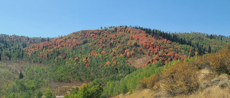
| Fall colors along the Tony Grove road | |
 |
|
|
Our
GPS track shows about 9.6 miles and 3400 feet of
ascent and descent.
You can look at our route using Google Earth or download our GPS file. |
|