Home
City of Rocks, 18 July 2015
The trip leaders arrived at Smith's for Saturday's hike just before 8 a.m. to greet their fellow adventurers for the day and share one of their favorite places on Earth, the City of Rocks National Reserve in southern Idaho. With a forecast of afternoon thundershowers in Almo, the town just outside the City of Rocks, we were not expecting many hikers to make the long drive with the possibility of getting caught in a storm. So, sheltered in our car from the light rain that was already falling in Logan, we waited. And we waited. And then we waited just a little bit more. By 8:15 a.m. it was decided that no one else was going to be headed up with us that day, and these two intrepid hikers, Alex and myself, Stephanie, set out to the City of Rocks.
Jane and Dave W. had camped at The City the night before, so we knew we would meet them there and have at least a small band of merry hikers, all of whom had an extra set of clothes in case we got soaking wet. As we departed Logan, our favorite tunes blasting on the car radio--because we were carpooling with no one who would care--a rainbow graced the sky and we wondered just what was in store for us in The City, and if anyone would regret not joining us after all.
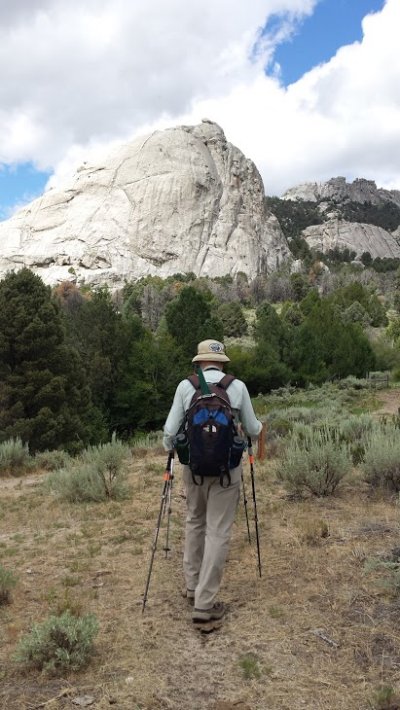
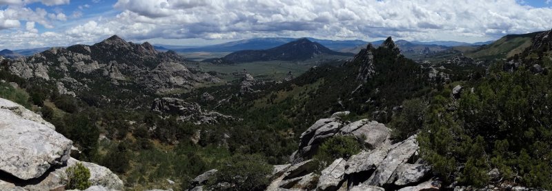
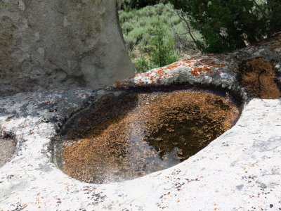
Well, it turns out -- this was a perfectly wonderful hike!!! The weather in The City was absolutely beautiful, blue skies and white puffy clouds and a perfect 70ish degrees. Great granite spires, strangely weathered rocks, windows, arches, and even rock climbers were just some of the highlights of this hike! We arrived at our starting point at the Circle Creek Overlook parking area at about 10:20am, and set out for our loop hike on the North Fork Circle Creek trail (NFCC) via the Geowatt Geology trail at 10:45 a.m. This trail has interpretive stations and a guide booklet that tells you a little about the unique granite of The City of Rocks and the geological forces that shape it, like panholes and the cavernous tafoni features on many of the rocks. We saw turkey vultures soaring overhead all day and a troop of marmots played by a wet stream crossing on the NFCC trail. There were wildflowers and interesting insects - a couple of velvet ants and a tarantula hawk. The trail up to Emery Pass, the high point of the trail at 7,215 ft, is a nice grade and very well maintained with great views down into the Circle Creek area and parts of the reserve beyond.
We stopped for lunch about 2 p.m. at a great overlook that took in all of the Circle Creek area and the Inner City. After lunch, we continued on through the Inner City, connecting with Creekside Towers trail where we may or may not have had a drop or two of something from the sky. It's only rain if it's wet enough to put on rain gear, so we're not calling it rain! We wandered on through the Inner City, down great rock staircases, past rock climbers, rock windows, and back out by way of the South Fork Circle Creek trail. Arriving at the cars after our 9 mile hike at 5 p.m. on the dot, we saw a downpour far away on the horizon, about where Logan should be, and turned to look at our beautiful blue skies thinking," bet they wish they were here"!
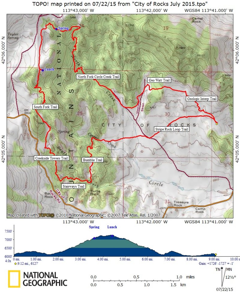
Trail notes: We traveled on five trails for this hike: Geological Interpretive, Geo Watt, North Fork Circle Creek (NFCC), South Fork Circle Creek, Creekside Towers, Stairways, Bumblie and Stripe Rock Loop. These trails are well designed, constructed, signed and maintained, as one would expect from the National Park Service. The tread surface is decomposed granite, sandy and well-drained, but requiring extra effort to keep erosion in check.
. Trip Summary:
- Left Logan at 8:15
- Started hiking from the Circle Creek Overlook Trailhead about 10:45
- Lunch on the ridge overlooking the Circle Creek, 1:55 - 2:20
- Back at the trailhead at 5:00
- Partly cloudy with pleasant temperatures and a brief and light afternoon shower
- 9.1 miles and 1700 feet of elevation
Thanks to Stephanie for the narrative, Alex, Stephanie and Dave for photos and Alex for the GPS track.
|
|
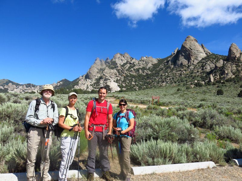
| Starting out at the Circle Creek Overlook Trailhead | |
|
|
| Rock window created by tafoni weathering | Stripe Rock |
 |
|
| A great view from our lunch spot | |
2015.jpg) |
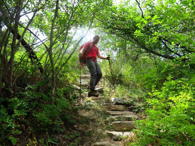 |
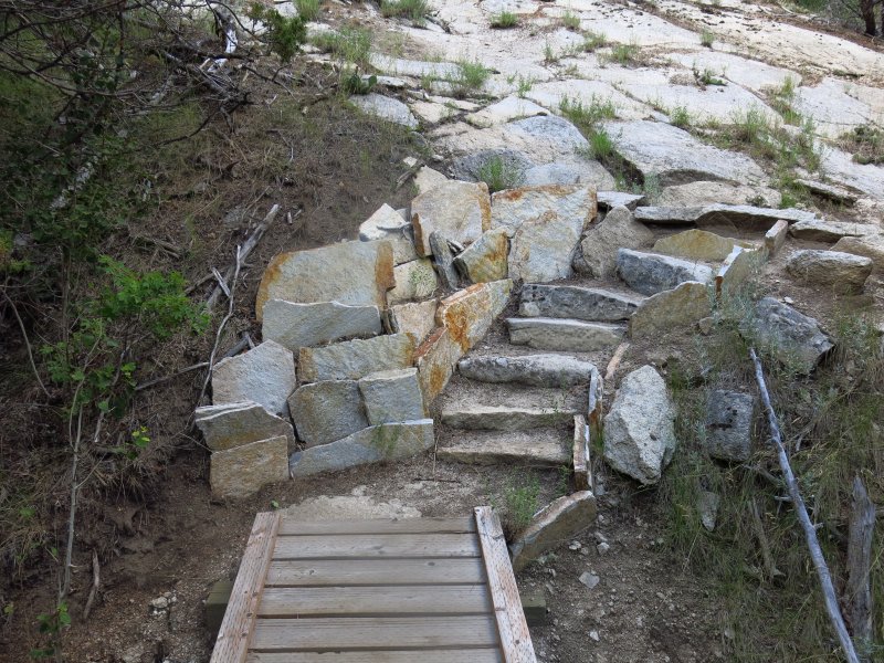
| North Fork Spring | Hiking down the Stairways trail |
2015.jpg) |
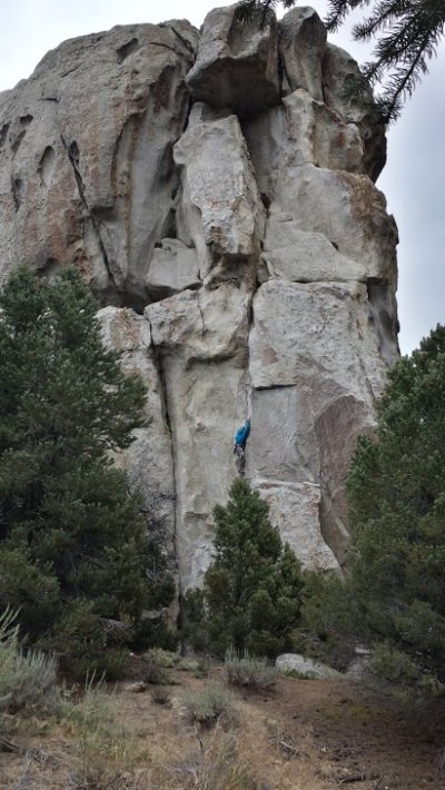 |
| Window Rock | Climber on a rock |
 |
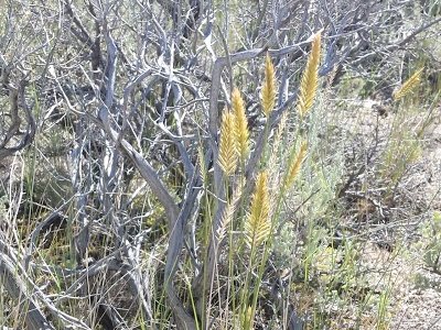 |
| One of many panholes along the trail | Crested Wheatgrass |
 |
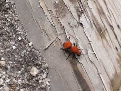 |
| Yellow-bellied Marmot | Velvet Ant |
 |
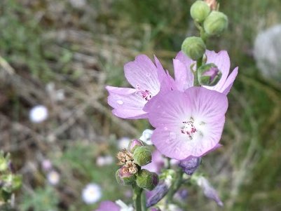 |
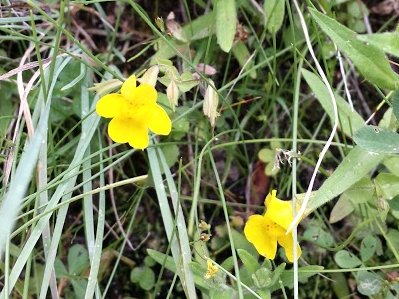
| Yellow Monkeyflower | Oregon Checkermallow |
 |
 |
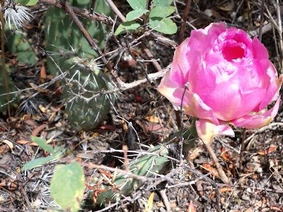
| Prickly Pear | Western Columbine |
|
|
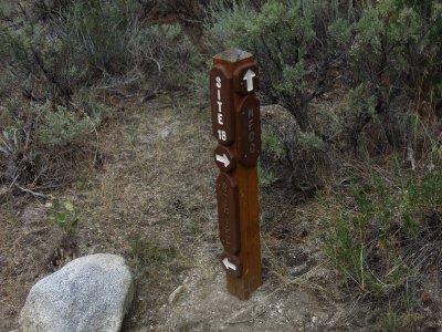
| Structures and signs along these well-designed, constructed and maintained trails | |
 |
|
| Our GPS track shows 9.1 miles and 1700 feet of elevation | |
You can also look at our route using Google Earth or the various map and aerial views of Google Maps |
|