City Creek, 10 June, 2017
Trip Summary:
- Participants: Dave P., Dave W., Jane, Stephanie, Teresa, Laurel, Susan, Nikolai and Nick, the leader
- Drove 14 miles to the City Creek entrance east of Richmond (a "Walk-in-access" property access arranged by the Utah Division of Wildlife Services)
- Started on the trail at 8:45
- Lunch with a fabulous view, 11:50 - 12:50
- Back at our vehicles at 3:15 and Logan by 4:00
- Partly cloudy, calm winds and comfortable temperatures
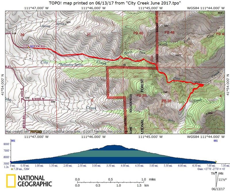
- 7.3 miles with 2600 feet of ascent
Thanks to Dave P. for photos and Dave W. for photos and the GPS work
|
|
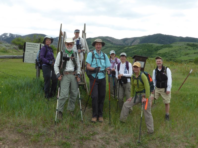
| At the City Creek "Walk-in-Access" entrance | |
 |
|
| The trail travels through agricultural land for the first mile | |
|
 |
There were many, many stream crossings |
Old mining equipment |
|
|
| A snow patch on the the north-facing slope | |
 |
|
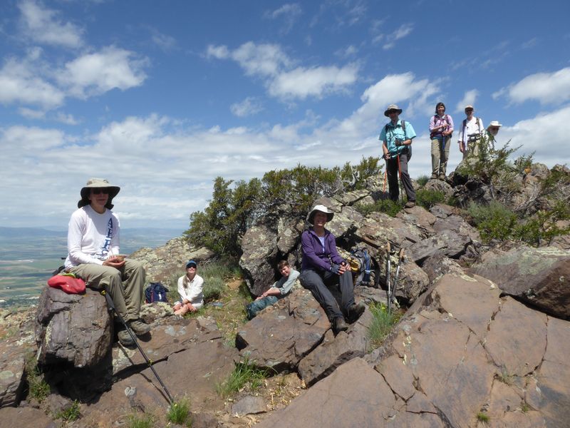
| A lunch spot with a great view | |
 |
|
| Looking southeast toward Mt. Elmer, Mt. Jardine and Flattop Mountain | |
 |
|
| Hanging around after lunch | |
 |
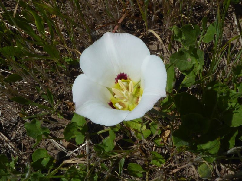 |
| Cicada on a western coneflower | Sego lily |
|
|
| Morel mushroom | Woodland star |
 |
|
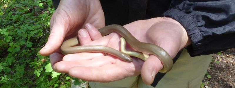
Rubber boa |
|
 |
|
| Our GPS track shows 7.3 miles with 2600 feet of ascent | |
You can look at our route using: Google Earth, the various map and aerial views of Google Maps or download our GPS file. |
|