Coldwater Spring Loop, 14 July, 2018
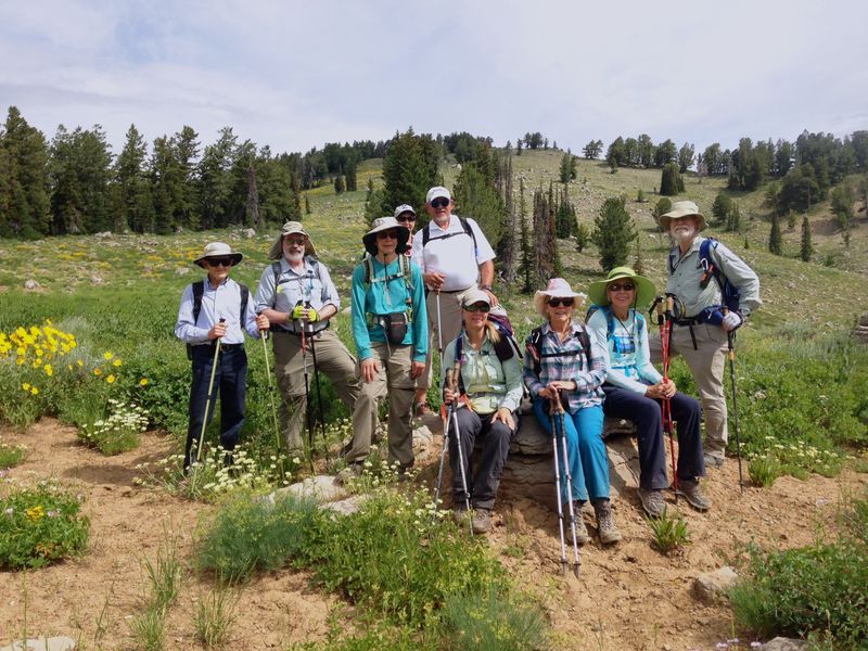
Ten hikers started from the Tony Grove “horse” parking lot: Cheryl, Brent, Kathy, Jane, Dave W, Laurel, Kip, LaVae, Gordon, and Dave P (leader).
The weather was pleasantly warm and cloudy. The trail immediately entered a cool forest and switchbacked up a hillside with huckleberries and Whipple’s pentstemon, both unusual plants in this area that apparently require slightly acid soil formed from quartzite. We continued past the strongly flowing Coldwater Spring and entered a meadow that had more than a dozen different wildflowers blooming. Two men on mules passed us going down.
At the wilderness boundary one hiker wanted to explore a new horse trail that heads down toward Cottonwood Canyon. We were pretty sure it paralleled the ridge trail and that we could stay in radio communication. The others continued up the ridge to the highest point and took a short break. Two hikers headed back from there while the others continued down the ridge, had great views of the Mt. Elmer region, and met up with the exploratory hiker at the intersection of the ridge trail and the Cottonwood Canyon trail. He said the horse trail intersects the Cottonwood Canyon trail just a few hundred feet away. We found a knoll with logs and a view for lunch a short distance to the south.
After lunch we dropped down into Blind Hollow and four hikers explored the yurt and four continued but were misled by a well-used trail that veers off to the northeast. They recognized their mistake and got back on the regular trail that is marked with a white post and goes east through thick forest. (Editors note: based on satellite imagery, the "well-used trail" is an alternative route, joining the Blind Hollow Trail about 1/4 mile west of the Hansen Pond junction). At the intersection of the Hansen Pond trail two hikers that needed to get back early headed back up. The remaining six hikers returned through lush vegetation, butterflies, and glacial erratic (glacier-deposited) boulders on the Hansen Pond trail, Bear Hollow road, and Coldwater Spring trail. We got to the horse parking lot at 3 and Smith’s parking lot about 4.
Trip Summary:
- Participants: Cheryl, Brent, Kathy, Jane, Dave W, Laurel, Kip, LaVae, Gordon, and Dave P (leader)
- Drove 29 miles to the Backcountry Trailhead near Tony Grove
- Started hiking about 9:05 with lunch about 11:45 - 12:15
- Returned to the trailhead at 2:50 and Logan about 3:45
- Moderate temperatures with cloudy skies and a mild breeze
- Hiked 7.2 miles with 1800 feet of ascent and descent
Thanks to Dave P. for the narrative, Dave P., Jane and Dave W. for photos and Dave W. for the GPS data .
|
|
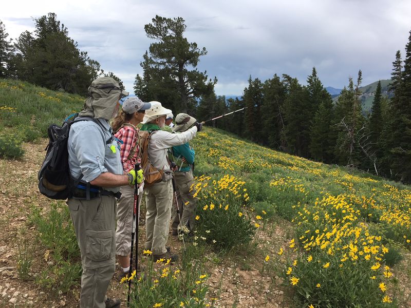
| At the Wilderness boundary west of Coldwater Spring | |
 |
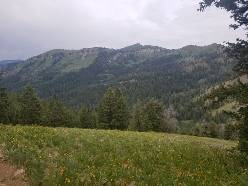 |
| Looking over Cottonwood Canyon toward Mt. Elmer (right) | |
 |
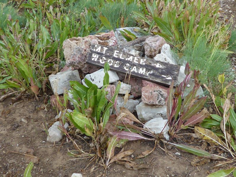 |
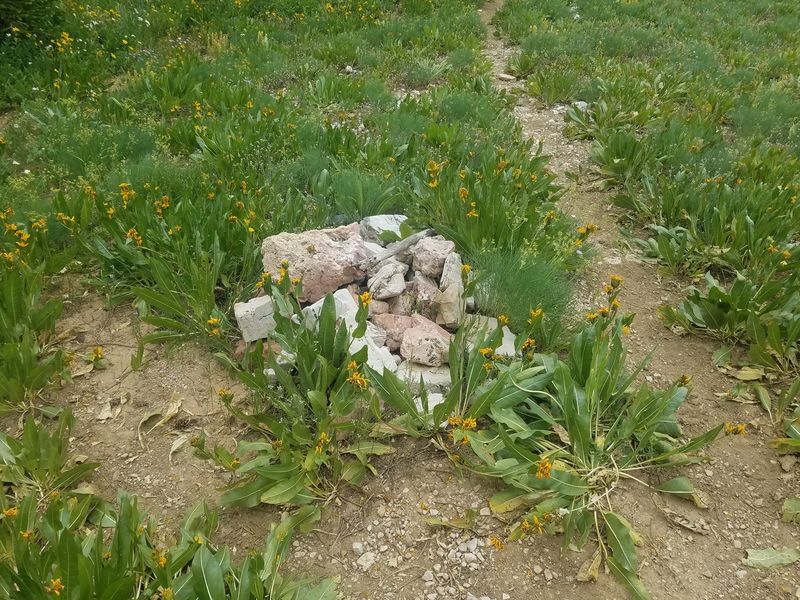
| Only rocks remain of this important trail sign | Parts of the sign were still there in 2016 |
2018.jpg) |
2018.jpg) |
Noel's owl's-clover, Orthocarpus tolmiei ssp. holmgreniorum (on the Cottonwood Canyon ridge) |
Tolmie owl's-clover, Orthocarpus tolmiei (near the Blind Hollow yurt) |
 |
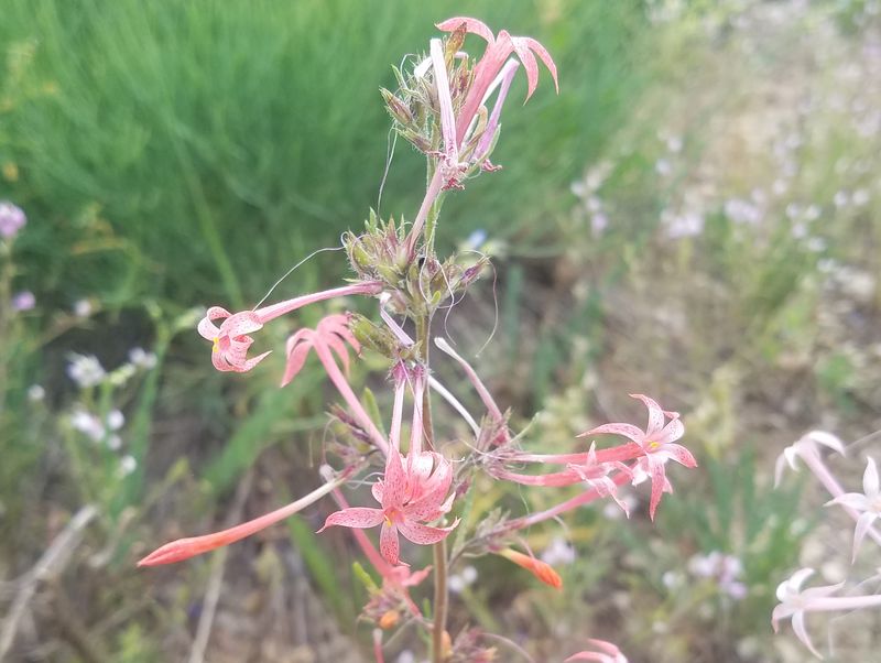 |
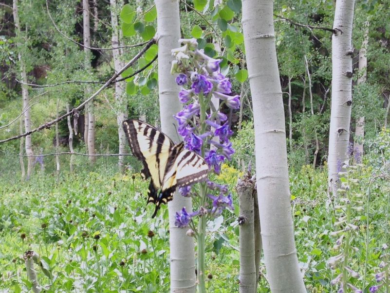
| Swallowtail butterfly on larkspur | Scarlet gilia (but not-so-scarlet here) |
 |
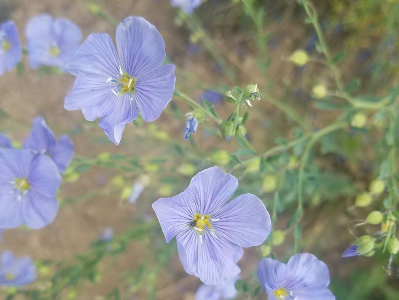 |
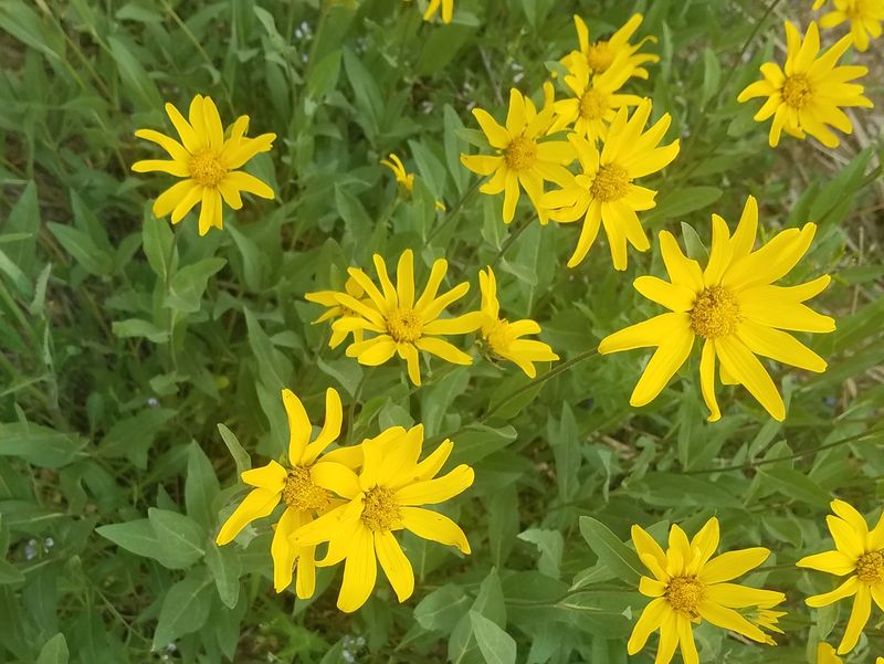
| Little sunflower | Wild blue flax |
 |
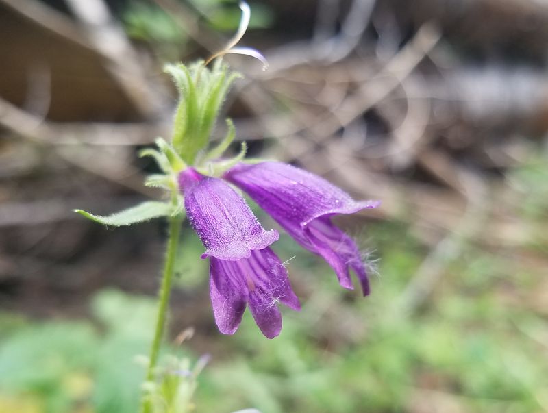 |
| Indian paintbrush | Whipple's penstemon, Penstemon whippleanus |
 |
|
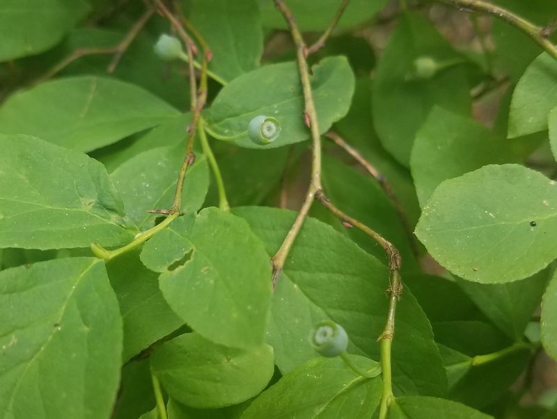
| Huckleberries | |
 |
|
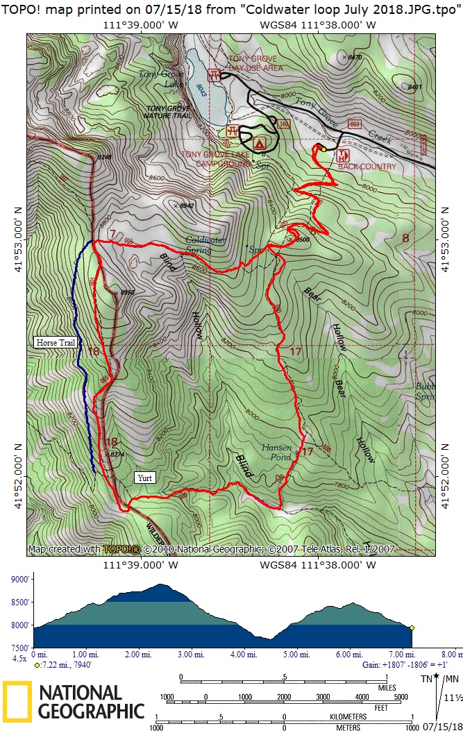
| Our GPS track shows 7.2 miles and 1800 feet of ascent and descent | |
You can look at our route using: Google Earth, the various map and aerial views of Google Maps or download our GPS file. |
|