Home
Cottonwood Canyon Ridge, 18 July, 2021
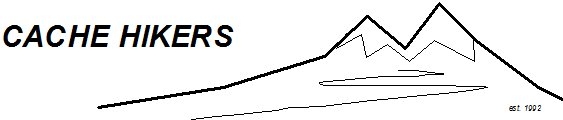
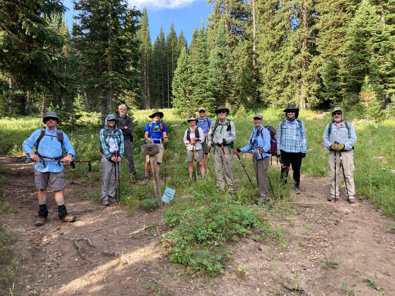
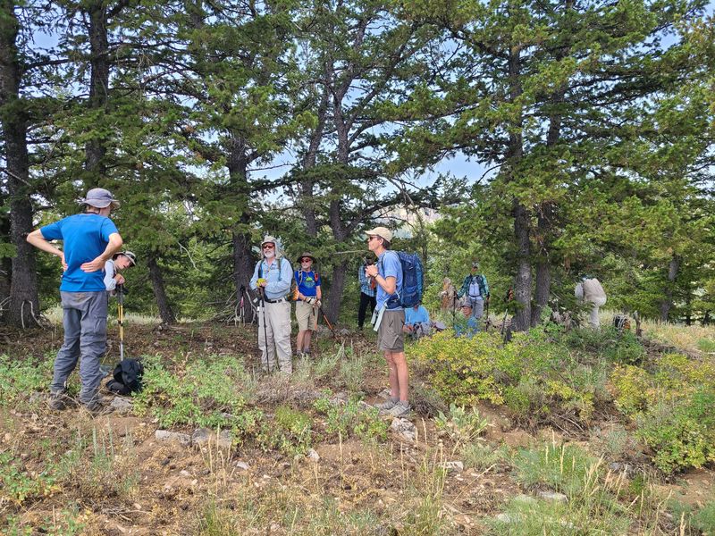
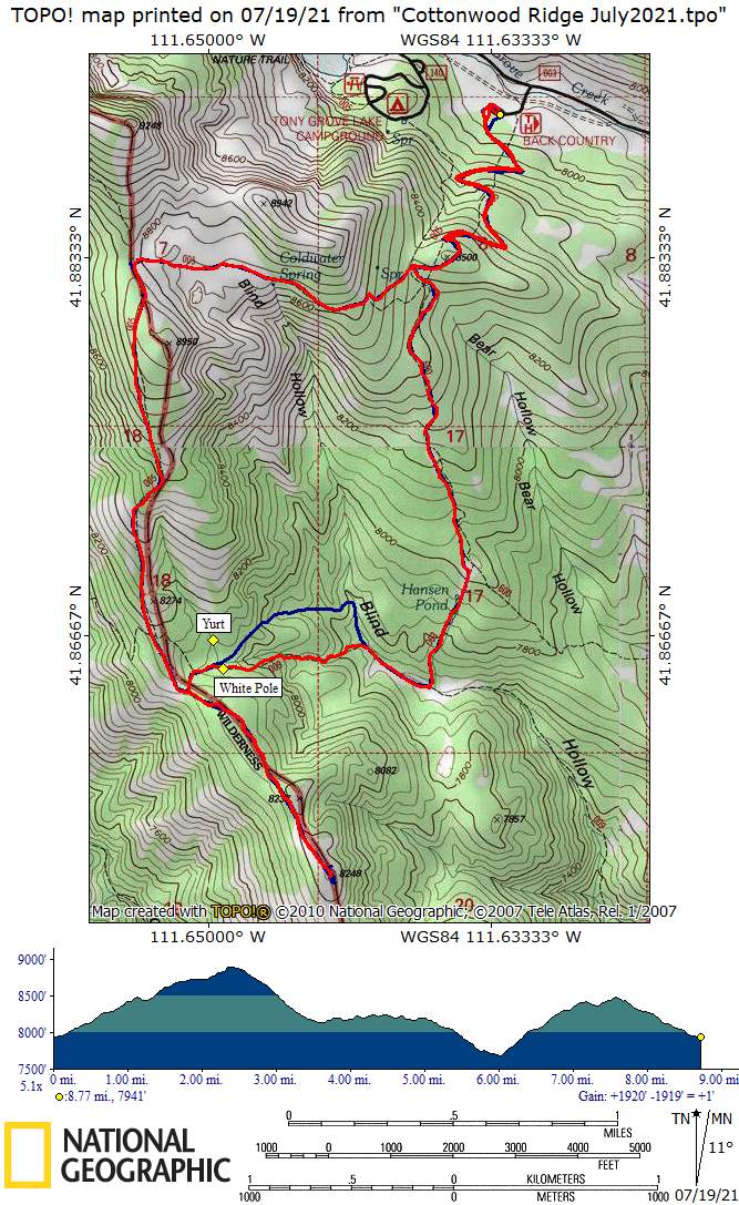
Eleven hikers turned out for the Tony Grove to Cottonwood ridge hike. About 9:00 a.m. we started on the Mount Naomi Peak NRT (National Recreation Trail) at the Tony Grove backcountry trailhead, with cool temps, sunny skies and plenty of parking. For the first mile we climbed through the forested north-facing terrain before reaching a gate and crossing over to a south-facing slope. At mile 1.8 miles we came to a large meadow just beyond passed Coldwater Spring and the head of Blind Hollow.
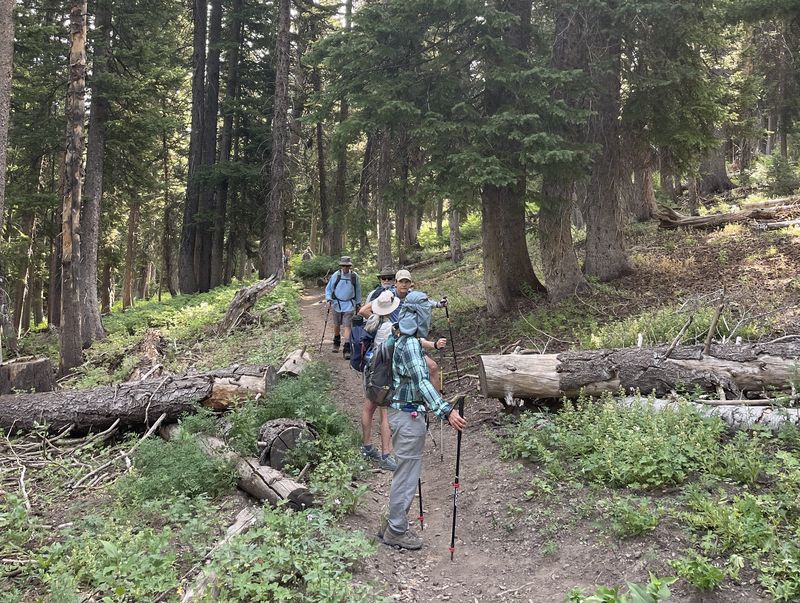
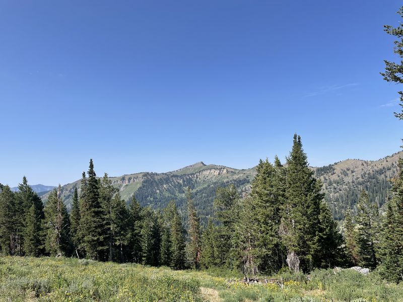
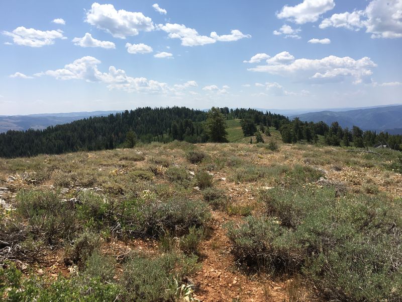
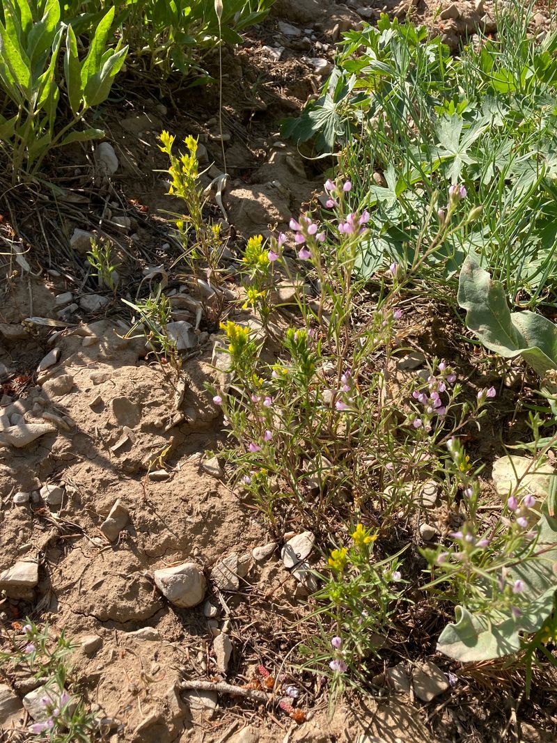
After another half-mile the group reached the junction with the Smithfield Canyon trail just before the high point of the hike. We continued south down the ridge along the Wilderness boundary, taking note of the owl's clover that grows there. Mt Elmer and the "seven sisters" (high points on the west ridge of Cottonwood Canyon) were in view.
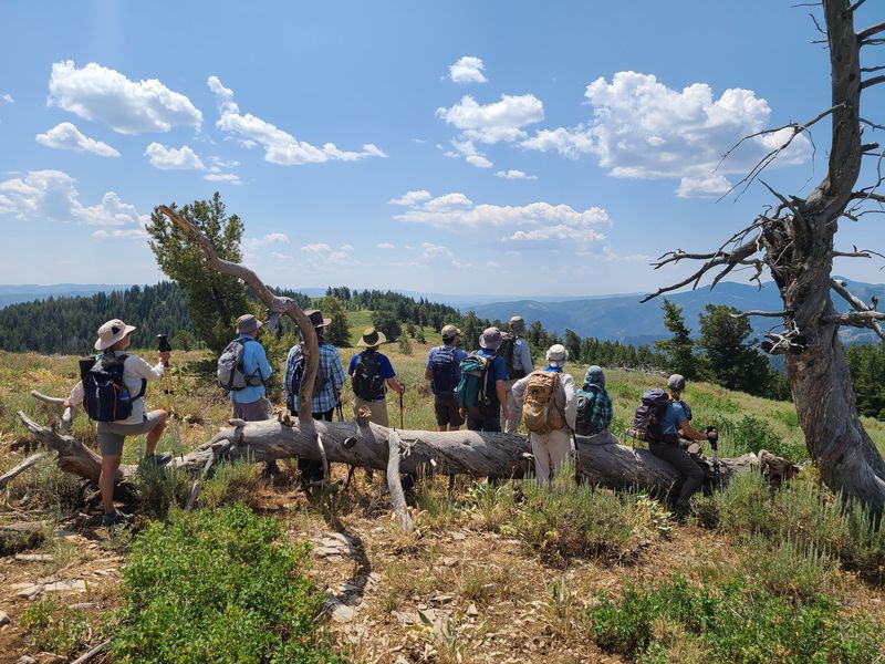
We had a snack ("first lunch") just beyond the junction with Blind Hollow trail and Cottonwood Canyon trail. From here we followed a faint path south along the ridge another 0.8 miles to a spot with views of Mt. Elmer, Beirdneau Peak, Logan Peak, Temple Peak and Mount Magog and rested in a shady spot for "second lunch".
After lunch, we then headed back and turned west on the Blind Hollow trail. A white pole about 0.1 miles south of USU's Blind Hollow yurt marked the point where an unofficial user-made trail splits from the Blind Hollow Trail. Most of the hikers took the left (unofficial) trail fork while Dave W. followed the right (official) route, arriving near Hansen Pond Trail ten minutes before the others. We regrouped at the sign post marking our left turn onto Hansen Pond trail. The sign was missing, so Jane used a Sharpie to write directions on the post.
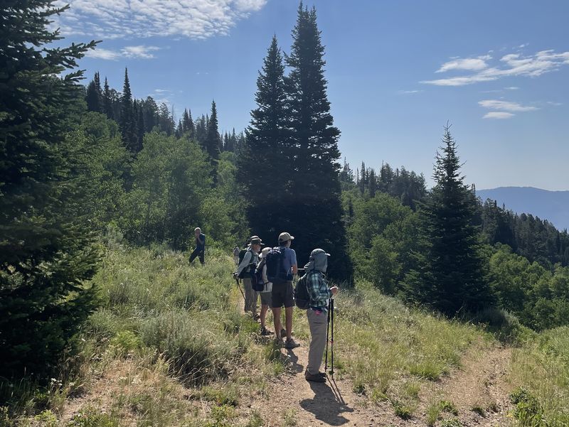
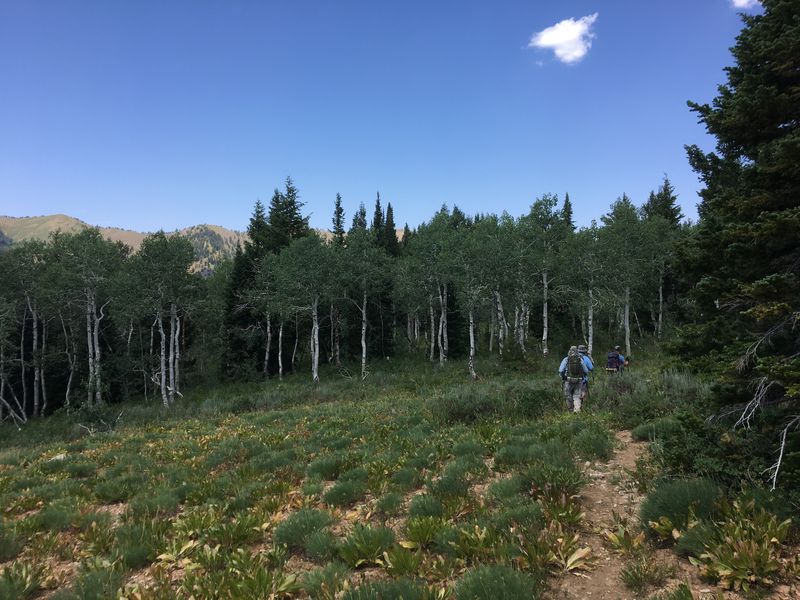
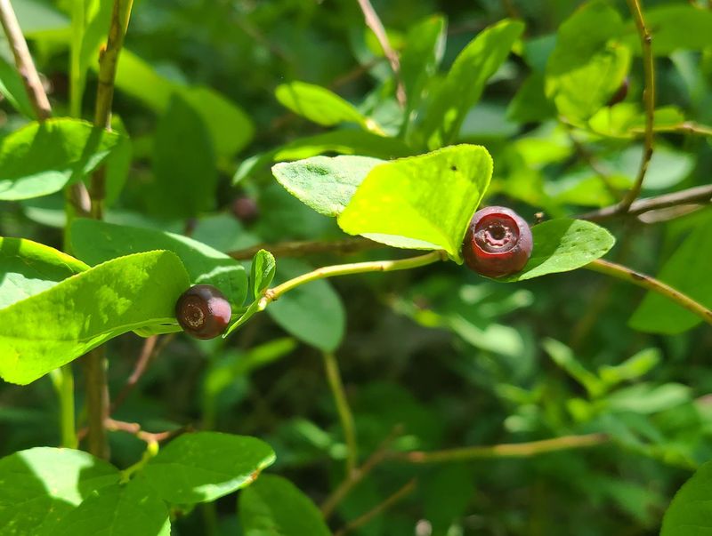
The trail climbed from there, reaching the Bear Hollow trail after a half mile and rejoining the Mt. Naomi Peak NRT after another mile. From here we simply followed the Mt. Naomi NRT 1.2 miles back to the trailhead, passing through the gate and down through the forest, sampling the huckleberries along the way. We returning to the parking lot by 3:25 and Logan about 4:05.
Trip Summary:
- Eleven
participants: Dan (leader), Dave P., Dave W.,
Jane, Dick, Susan, Ralph, Cameron, Joan, Brent, and
Chris
- Drove 29
miles to the Tony Grove Backcountry Trailhead
- Started
hiking about 9:00, lunch from 12:10 -12:35, back at
the trailhead at 3:25
- Partly
cloudy, calm winds, afternoon temperature in the mid
80s
- Our GPS data
shows about 8.8 miles and 1800 feet of ascent and
descent (9.0 miles for hikers taking an unofficial
trail)
Thanks to Dan for the narrative and photos, Dave P. and Susan for photos and Dave W. and Ralph for photos and the GPS data.
 |
||
| Starting out
on the Mt. Naomi Peak National Recreation Trail
(NRT) |
||
 |
||
| Hiking up the
well-maintained Mt. Naomi Pean NRT |
||
 |
 |
|
| A side path goes down upper
Blind Hollow to Coldwater Spring |
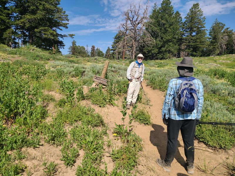
The sign marking a Smithfield
Canyon trail junction and the Wilderness
boundary
needs repair |
|
 |
 |
|
| Looking west from the Cottonwood Canyon ridge toward Mt. Elmer | Hiking south on the Cottonwood
Canyon Ridge along the Wilderness boundary |
|
 |
||
| Enjoying the great view from the
Cottonwood Canyon ridge |
||
 |
 |
|
| The ridge continued south of
our turn-around point |
Our lunch spot on the Cottonwood Canyon ridge | |
 |
||
| An unusual scene: yellow
Tolmie's owl's clover (Orthocarpus tolmeii)
and lavender Noel's owl's clover (Orthocarpus
holmgeniorum) growing side-by-side on the
west-facing slope of upper Cottonwood Canyon |
||
 |
 |
|
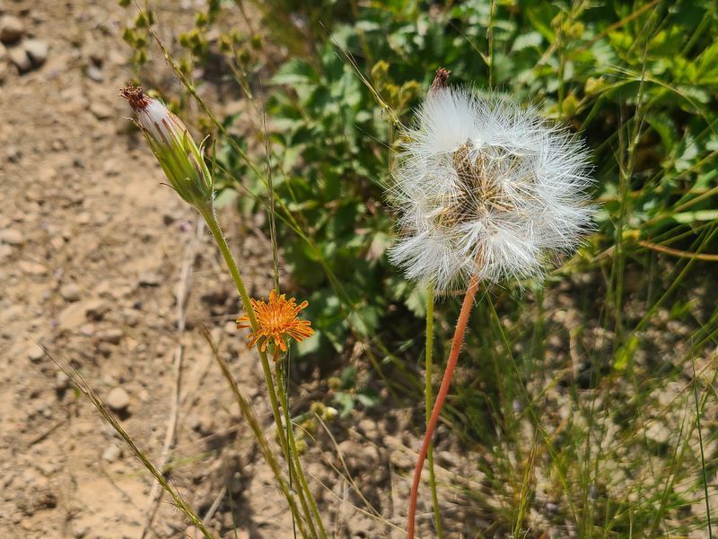
| Only a few orange mountain
dandelions (Agoseris aurantiaca) were still
blooming |
The huckleberries (Vaccinium membranaceum) were starting to get ripe | |
 |
||
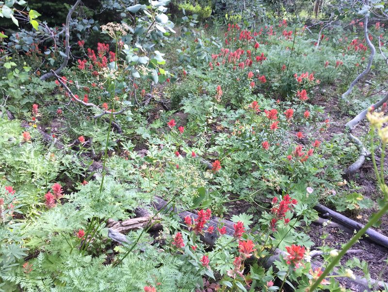
| We saw LOTS of
paintbrush |
||
 |
||
|
Our GPS track shows about 8.8
miles and 1800 feet of ascent and descent, or 9.0
miles for hikers taking
an unauthorized "social trail"
(blue line). You can look
at our route using Google
Earth or download our GPS file.
|
||