
Home
Curtis Ridge, 9 June, 2024
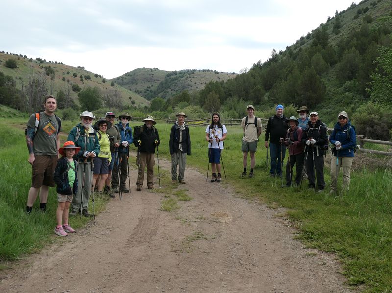
Sixteen hikers joined us for a hike on the Curtis Ridge Trail. We enjoyed great views of the Bear River Range and its snowy peaks as well as a nice collection of wildflowers. Fifteen hikers met at our normal meeting place at Smith’s on main street and carpooled to the ATV parking lot at Hardware Ranch. One hiker met us at the trailhead. We started under cloudy skies and the threat of rain which helped moderate temperatures during the hike.
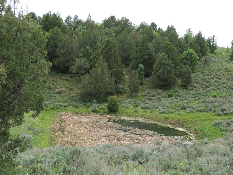
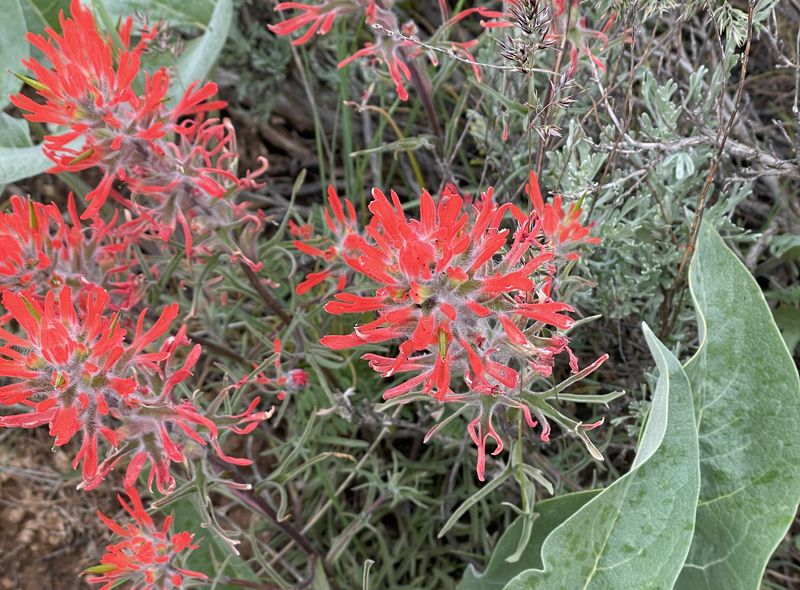
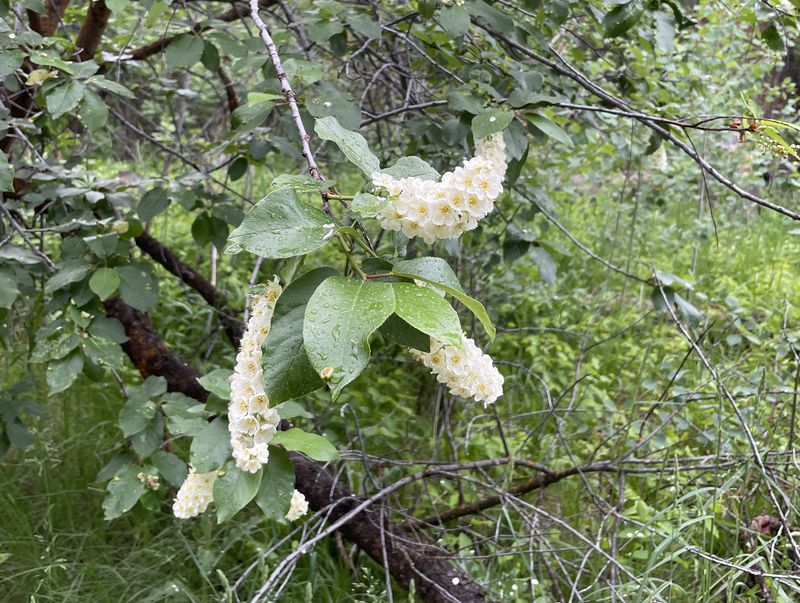
The route started at Curtis Creek and paralleled the creek for about a half mile before crossing it on a metal bridge. Curtis Creek was running swiftly from the spring runoff. There was beaver activity along the way as is common for creeks and streams in this area. The trail then climbs a winding, sometimes rocky path up to the ridge, after which if follows an old road. Once on the ridge, we stopped on several occasions for the views of the Bear River Range and to view the many wildflowers. Depending on our location we saw Logan Peak, Mt. Beirdneau, Mt. Elmer, Mt. Jardine, and Mt. Naomi among others. Wildflowers we saw along the way included larkspur, death camas, Indian paintbrush, bitterbrush, Lewis flax, manyflower stickseed, sticky geranium, chokecherry and elkweed. The trail ended at a spring and small pond. Along the way there were a few muddy areas which were easily avoidable but otherwise a dry trail.
We decided to climb a nearby slope above Dry Curtis Creek. We were provided with an impressive view and decided to eat lunch and enjoy the views from that location. There was a cool wind making for a comfortable if not cool setting. We were thankful for the breeze however as it kept the insects away that had appeared in several sheltered sections of the hike.
After lunch we descended back down the trail, finally encountering sunny skies as we finished the hike.
Trip Summary:
- Sixteen hikers: Andy, Brent, Shelly, Eduardo, Teresa, Susan, Dave W, Jane, Dave P, Kamren, Cameron, Matt, Kya, Tom, Jake, and Ralph (Leader)
- Parked at the ATV parking area just past Hardware Ranch and walked a short section of dirt road until we reached Curtis Creek.
- Started hiking around 9:00, had an early lunch overlooking Dry Curtis Creek around 11:00 started hiking back around 11:30, made it back to the cars by 1:15, and back to Logan around 2:00.
- Pleasantly cool temperatures, mostly in the 50s and 60s, mostly cloudy with a cool breeze.
- Hiked about 6.7 miles on an out-and-back route to a spring on Curtis Ridge, with about 1300 feet of elevation gain.
Thanks
to Ralph for the narrative, photos and GPS data, and
Dave W and Dave P for photos.
 |
|||
| A group photo
at the beginning of the hike |
|||
 |
 |
||
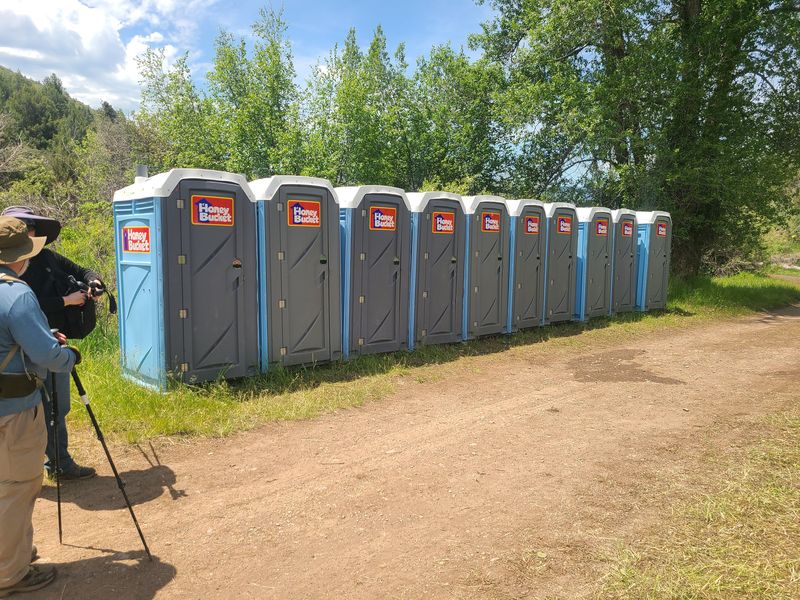
| Preparations
were in place for a " handcart trek" |
|||
 |
 |
||
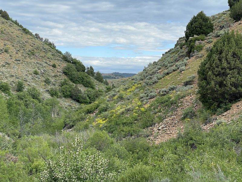
| Dry Curtis Creek |
Hiking up to Curtis Ridge |
||
 |
|||
| View from Curtis Ridge | |||
 |
 |
||
| Rain showers in the distance |
The hike destination, a spring and
stock pond |
||
 |
|||
| Our lunch spot on the ridge just south of the pond | |||
 |
|||
| Crossing Curtis Creek on the way back | |||
 |
 |
||
| Wild hyacinth |
Larkspur |
||
 |
 |
||
| Death camas |
Paintbrush |
||
 |
 |
||
| Bitterbrush |
Geranium |
||
 |
 |
||
| Blue flax |
Chokecherry |
||
 |
 |
||
| Frasera
speciosa, aka green gentian, monument
plant, elkweed |
Stickseed |
||
 |
|||
| Lazuli bunting | |||
 |
|||
|
Our GPS track shows about 6.7 miles
and 1300
feet
of ascent.
You can look at our route using Google Earth
or download our GPS file.
|
|||