
Home
Doubletop Mountain, 31 July, 2022
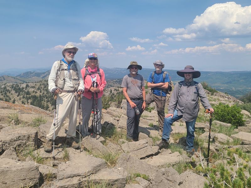
Six Cache Hikers met for the Boss Canyon to Doubletop Mountain hike: Dave W, Dave P, Ralph, Kamren, Joan and Dan (the leader). We car-pooled up to the Franklin Basin road, dropped off a "shuttle" car at Steep Hollow, then drove into Idaho to the White Canyon road. The start time was 9:10 a.m.
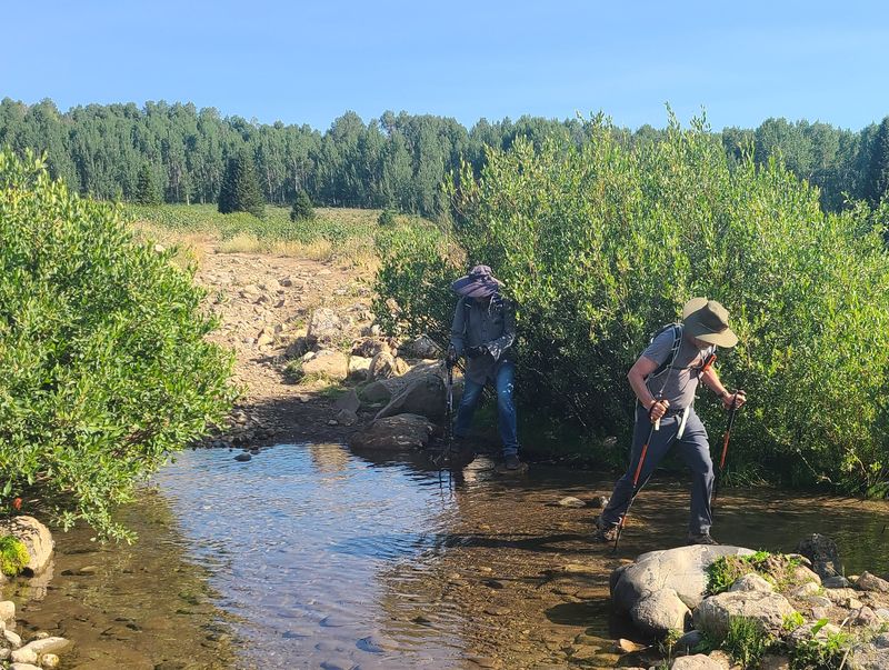
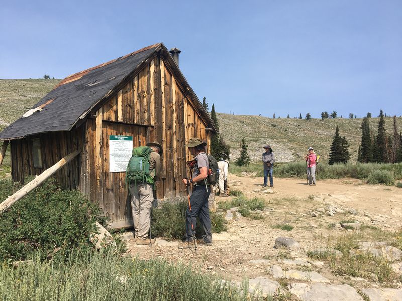
Trekking poles were put to good use as we crossed a few streams near the beginning of our hike. Our route continued along an ATV trail up Boss Canyon, through meadows and into the welcome shade of a conifer forest. We encountered sheep, a guard dog, and a sheepherder on horseback as we gained elevation. A few ATV riders passed us, kicking up dust, and after about 4 miles on the trail we reached a rescue/warming hut used for winter travelers.
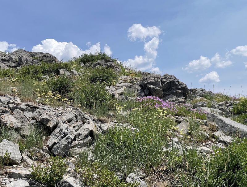
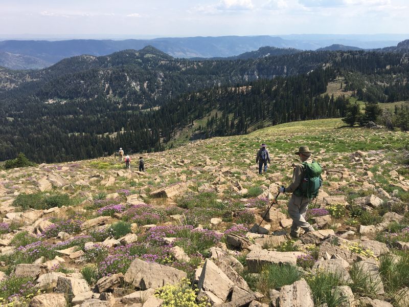
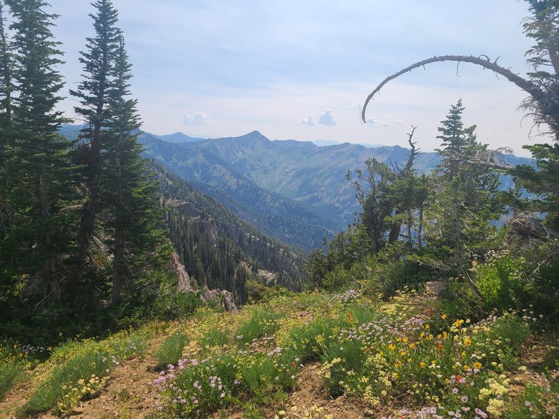
We continued up to the ridge, admiring abundant wildflowers along the way. At 12:30 and 5 miles on the trail, we reached the main ridge of the Bear River Range and enjoyed lunch with a great view of North Fork High Creek to the west.
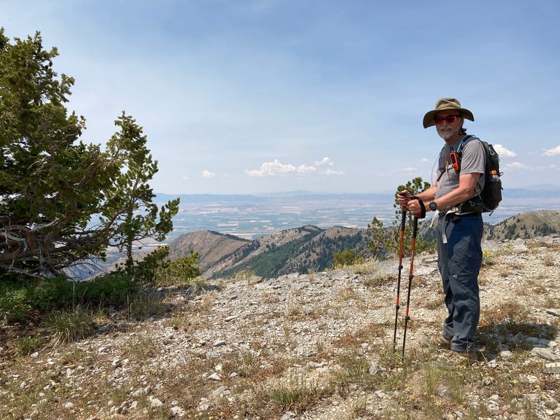
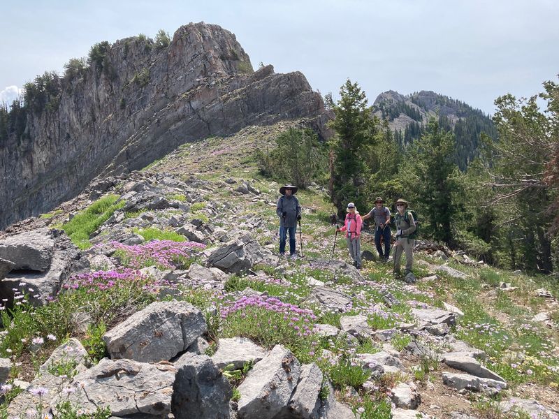
Our route then took us south along the ridge, over two intermediate peaks and around the west side of a third. We could now see Doubletop Mountain before us and the cirque below us on the east. As we climbed toward the summit of Doubletop we stopped to look and listen for pika which live in the rocky talus slopes. We were pleased to see one of the little furry rabbit-like animals, since their high-elevation habitat is threatened by climate change. After summiting Doubletop Mountain, 9873 feet above sea level and the second highest peak in the Bear River Range, the group continued south on the ridge to a saddle, veered east and descended along a faint trail into Steep Hollow.
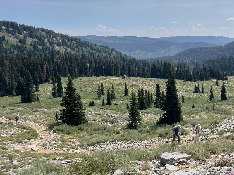
We traveled through forest and meadow, eventually finding the main trail down Steep Hollow, then past grazing cows on the way to our car at the Franklin Basin road. The drivers rode in the shuttle car to retrieve their vehicles, picked up the rest of the hikers at Steep Hollow and returned to Logan.
Trip Summary:
- Six hikers: Dave W, Dave P, Ralph, Kamren, Joan and Dan (the leader)
- Drove 31
miles to White Canyon
- Started
hiking about 9:10 a.m., lunch 12:10 to 12:50 p.m.,
Doubletop Mountain at 2:45, the Steep Hollow trailhead
at 5:30 and Logan by 6:45 p.m.
- Warm temperatures, partly cloudy with smoky skies and a light breeze
- Hiked about
10.7 miles with 2600 feet of ascent
Thanks to Dan for the narrative, photos and GPS data, and Dave W., Dave P. and Ralph for photos.
 |
||
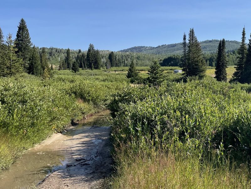
| Looking north
from the Boss Canyon ATV trail to the sheep camp
at the bottom of White Canyon |
||
 |
||
| Stream
crossings are much easier with trekking poles |
||
 |
 |
|
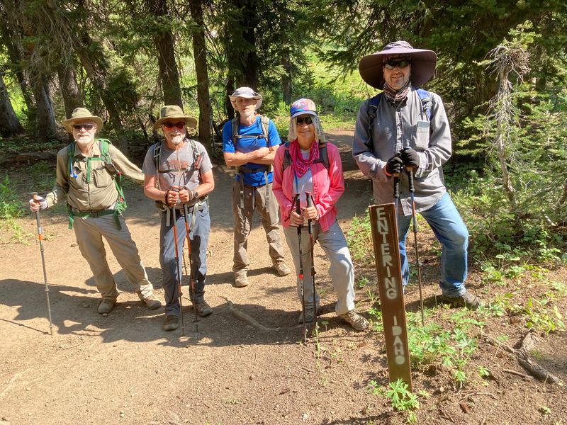
| There were several border crossings along our route | Sheep |
|
 |
 |
|
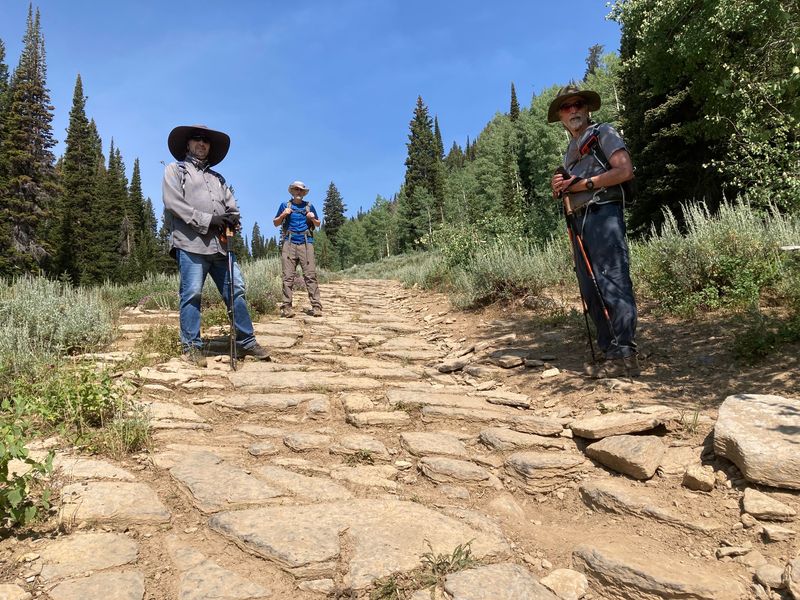
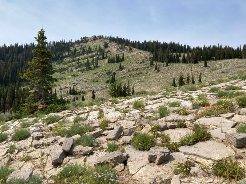
| Trail sections were "paved" with "slabby limestone" of the Garden City formation | The "Boss Rescue Cabin" | |
 |
 |
|
| Upper Boss Canyon (looking south) |
Upper Boss Canyon (looking
east) |
|
 |
 |
|
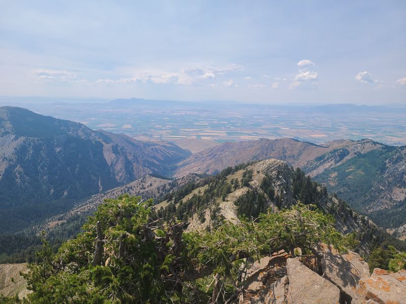
| Northwest view from the main ridge |
On the main ridge, looking
south toward Doubletop |
|
 |
||
| Doubletop
Mountain, with Cherry Peak on the right |
||
 |
 |
|
| Flowers just below the peak |
"Doubletoppers" | |
 |
 |
|
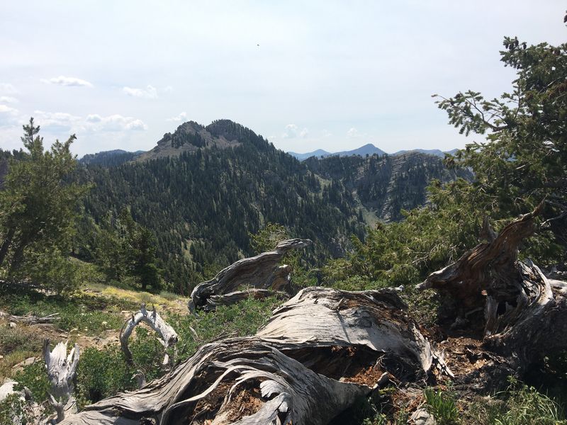
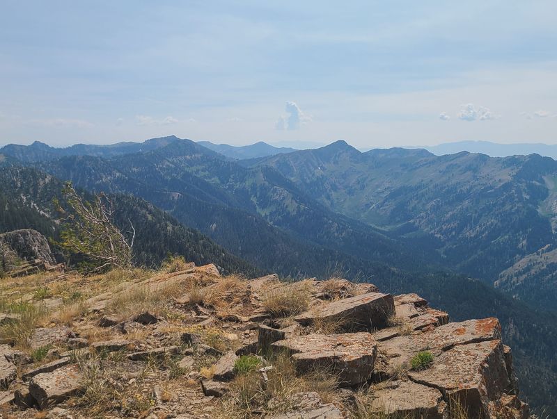
| Looking west over High Creek Canyon |
Looking south toward Naomi Peak
and Cherry Peak
|
|
 |
 |
|
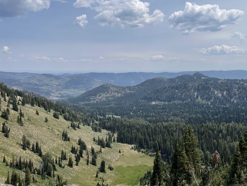
| Looking east down Steep Hollow |
Hiking down from Doubletop | |
 |
||
| A last look at
Cherry Peak before leaving the ridge |
||
 |
||
|
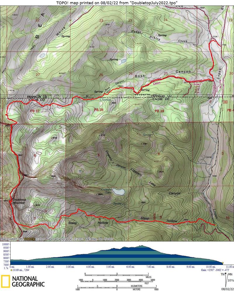
Our GPS track shows about 10.7 miles
and 2600
feet of ascent.
You can look at our route using Google Earth or download our GPS file. |
||