Home
Dry Canyon, 25 January, 2026
On Sunday, January 25, one of the coldest days so far in 2026, we had two hikes starting at the Dry Canyon trailhead. A group of nine went up the Dry Canyon draw and the other group of three took the Bonneville Shoreline Trail.
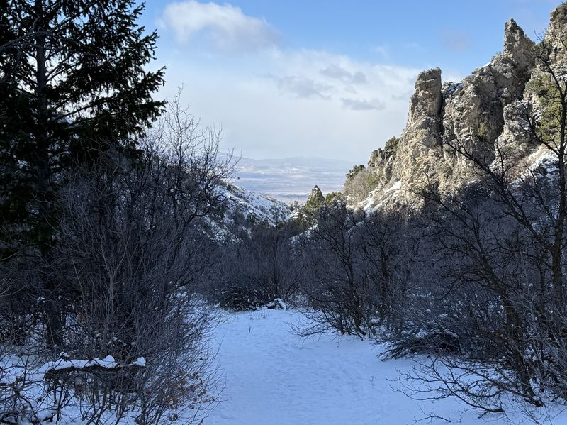
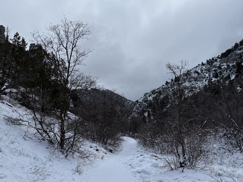
The Dry Canyon trail was very well packed and easy to walk up with microspikes (trail crampons). There have apparently been sledders and hikers which made the trail a smooth and easy walk. We had hoped for some sunshine however most of the day was gray and low clouds. About 1 1/2 hours up the draw where the drainage from Little Baldy comes in, the group decided to stop for a snack. Michelle and David reminded everyone they were invited to stop by their house to socialize and enjoy the fresh bread they made that morning. Alas, this prompted the group to head down the trail at a high rate of speed. :-) Unfortunately, we were unable to reach the other group to inform them of our early return.
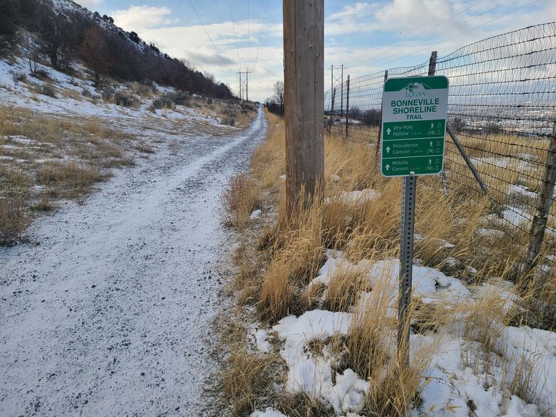
The three Bonneville Shoreline Trail (BST) amblers went south along the "deer fence". A true shoreline trail would be level, but the BST undulates vertically as it follows a straight line, cutting across the "grain" of the terrain. The amblers marveled at the development and new trophy homes just over the fence on the west. They arrived at Elbow Hollow about noon and hunkered down, out of the wind, for a leisurely lunch. Starting back about 12:25, they were more than a half-hour from the trailhead when the hikers called to say they were already there.
It was a lovely hike and wonderful gathering to catch up and swap stories of recent adventures.
Trip Summary:
- Nine hikers, Sue and Bruce (leaders), David, Michelle, Dave P, Susan, Laurel, Brent L, and Ralph. Three amblers: Christine, Jane, and Dave W.
- Drove 4 miles to the Dry Canyon Trailhead
- Started out about 10:20, back at the trailhead about 1:05 (hikers) and 1:45 (amblers)
- Temperatures
in the mid 20s, mostly cloudy, with a cold breeze from
the north
- Snowpacked (Dry Canyon) and a mix of frozen bare soil, ice and packed snow (Bonneville Shoreline Trail)
- About 4.3
miles with 1450 feet of ascent (hikers) and about 3.3
miles with 350 feet of ascent (amblers)
Thanks
to Sue for the narrative, Dave P, David, and Jane for
photos, and Dave W and Ralph for photos and GPS data.
2026.jpg) |
|||
| The Dry Canyon
Trailhead |
|||
 |
 |
||
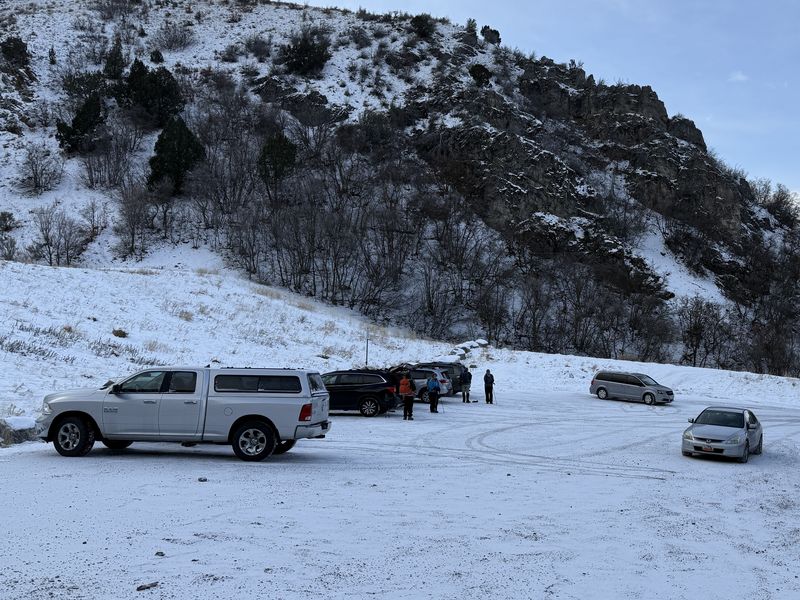
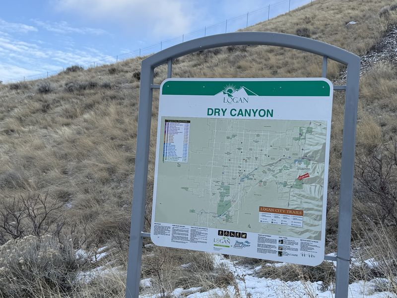
| The Dry Canyon parking area (left) and trailhead (right) are located west of a flood-control dam | |||
 |
 |
||
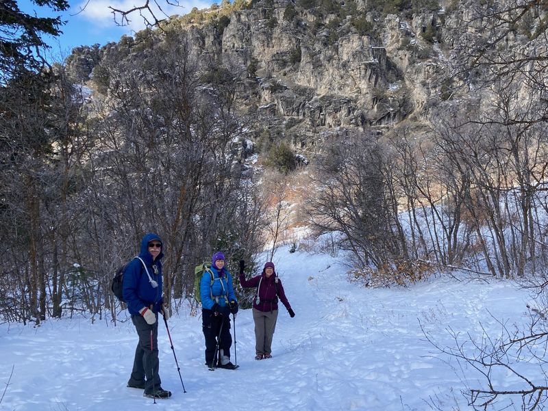
| The old trailhead, east of the dam and
catch basin |
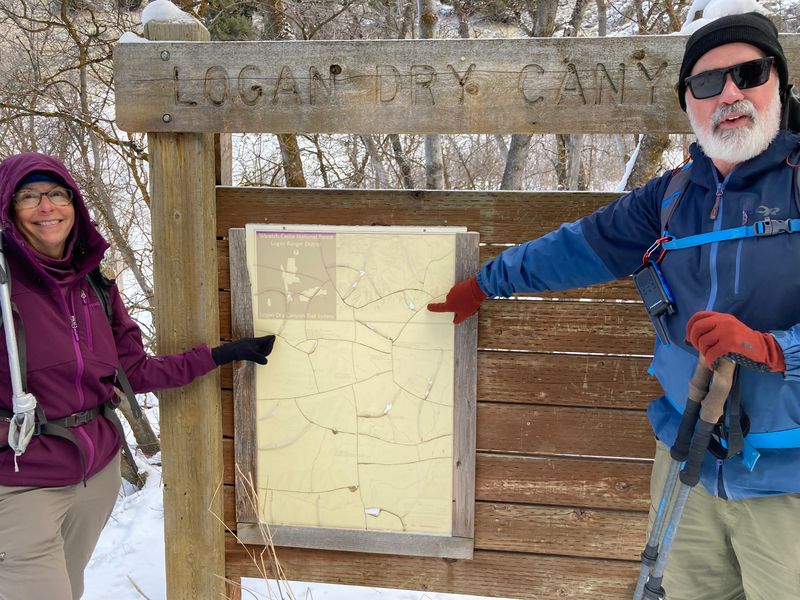
Hikers near the mouth of Dry
Canyon |
||
 |
 |
||
| The snow-packed Dry Canyon Trail | |||
 |
 |
||
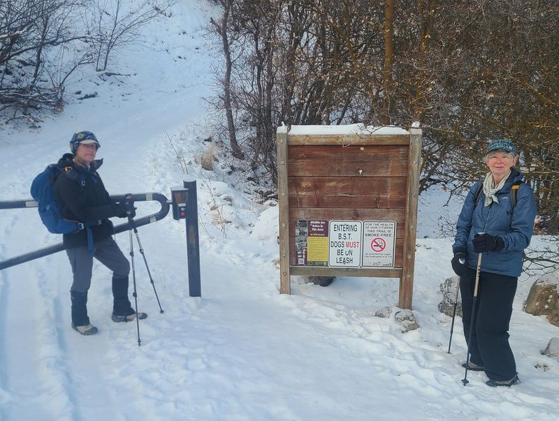
| The BST Trailhead at Dry Canyon |
The BST follows the "deer fence" south of Dry Canyon, | ||
 |
|||
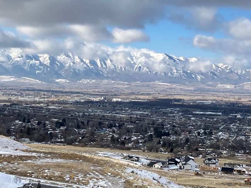
| The Wellsville Mountains and
Providence City, looking toward the west from the
BST |
|||
 |
|||
| Hikers at
Michelle and David's house (the amblers arrived a
little later) |
|||
 |
|||
|
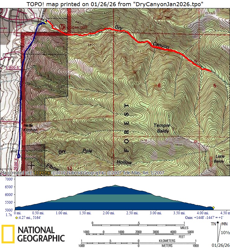
The hiker GPS track is about 4.3 miles
and 1450
feet
of ascent. The ambler track (blue) is
about 3.3 miles with 340 feet of ascent.
You can look at our hiker using Google Earth
or download our GPS file.
|
|||