Home
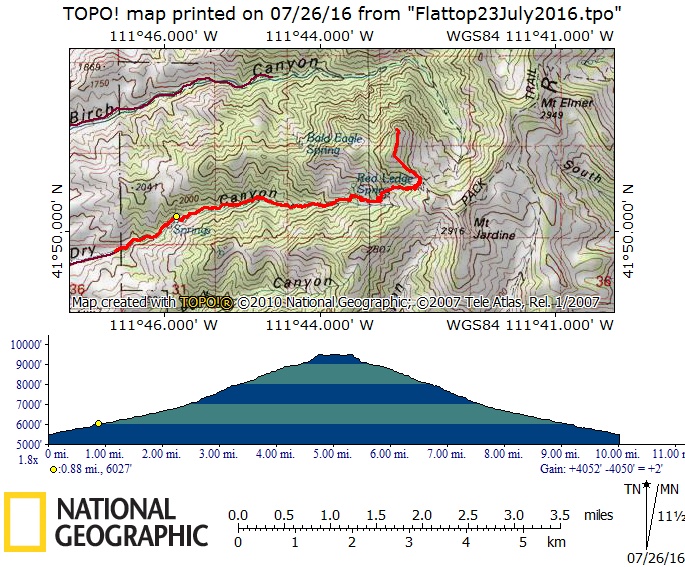
Flattop Mountain, 23
July, 2016
Seven Cache Hikers including Susan (trip leader), Dave W., Jane, Monika, Denis, Nikolai, and Alex carpooled to the Smithfield Dry Canyon trailhead located at the Cache National Forest boundary at the end of 300 South in Smithfield (about one mile after the road turns to dirt). Two small parking areas are located before the boundary gate. The hikers started at the trailhead at 8:45am.
The weather was relatively cool for the first part of the hike winding up through bigtooth maple forest bordered by rocky outcroppings.
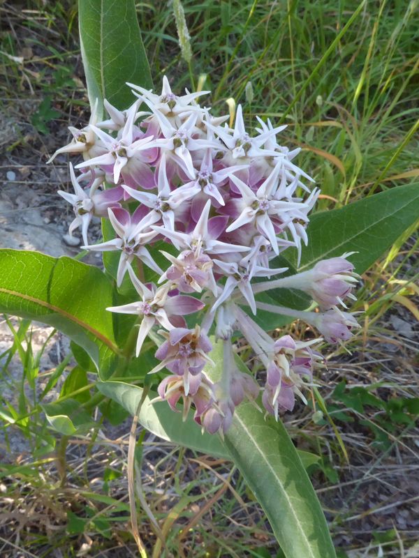
Dave W. located two Monarch caterpillars and possibly some eggs on showy milkweed located next to the trail. On the return trip, Dave collected the caterpillars so they can be tagged for future research efforts.
The first major rest break was in the shade under a Limber pine near the large ‘rock’ outcrop. Alex took a diversion to attempt to locate the Red Ledge Spring above the trail. He heard water running but did not locate the outflow of the spring.
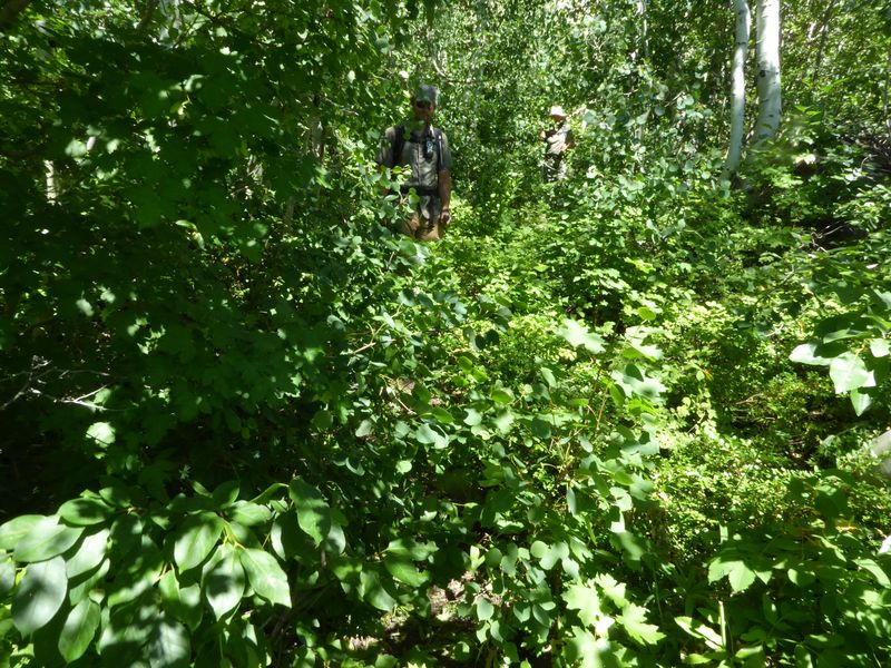
The hikers met three horseback riders on their way down and we all chatted a bit. The lower and middle sections of the trail had overgrown with brush making the trail difficult to see in spots, although the trail itself was easily discernible in most places (the trail peters out at the bottom of the large wildflower meadow below the ridge, but the ridge is easily seen from here and easy to find again on the way down).
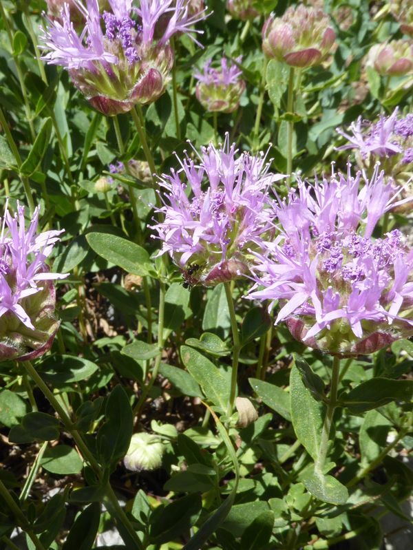
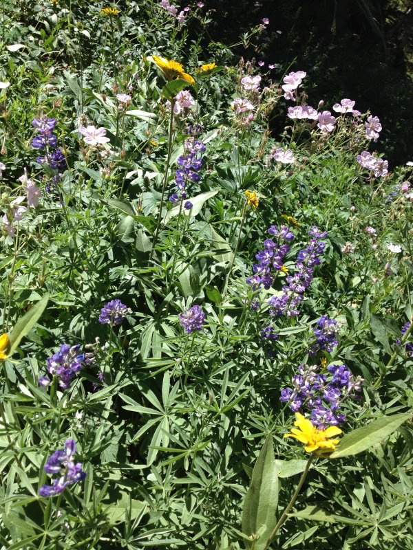
Wildflowers became more frequent toward the top of the climb with a large meadow blooming just below the ridge. Flowers included sego lily, aster, sticky geranium, mountain beebalm, larkspur, some flax, scarlet gilia, an abundance of a yellow flowered composite, Indian paintbrush, lupine, among others.
Susan, Monika, and Jane had lunch at the saddle overlooking Birch Creek Canyon to the east with views of Cherry Peak, Mt. Naomi, and Mt. Elmer and views of Cache Valley and the Wellsville mountains to the west while Alex, Denis, Nickolai, and Dave W. continued up to Flattop peak and took their break there.
The weather remained cool with a pleasant breeze at the top. The hikers descended the same route and returned to Logan by about 6:20pm.
Toward the end of the hike, a swarm of wasps attracted to some water on the trail was a slight problem as the group had to navigate through it (this was also noted on the July 19, 2014 trip report. Susan was stung but not badly (something to consider when planning future dates for this trip in case anyone is allergic to stings).
Trip Summary:
- Organized carpools and drove 9 miles to (Smithfield) Dry Canyon and started from the ‘new’ parking lot at 8:45am
- At the Dry Canyon - Birch Canyon saddle about 1:00 and Flattop Mountain about 1:30
- Est. 4.4 miles and 3400 feet of climbing to the saddle (8.8 miles round trip)
- Est.5 miles and 4000 feet including the side trip to Flattop Mountain (10 miles round trip)
- Back at the trailhead at 5:40 and returned to Logan about 6:20
- Sunny skies, ‘relatively’ cool temperature and pleasant breeze with slightly hazy skies to the west
Thanks to Susan for narrative and photos and Dave W. for photos and GPS work, and special thanks to Susan for leading this trip after the original leader had to cancel.
|
|
|||
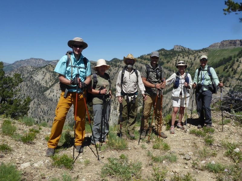
| On the saddle between Dry and Birch Canyons, with Mt. Elmer in the background | |||
|
|
|||
|
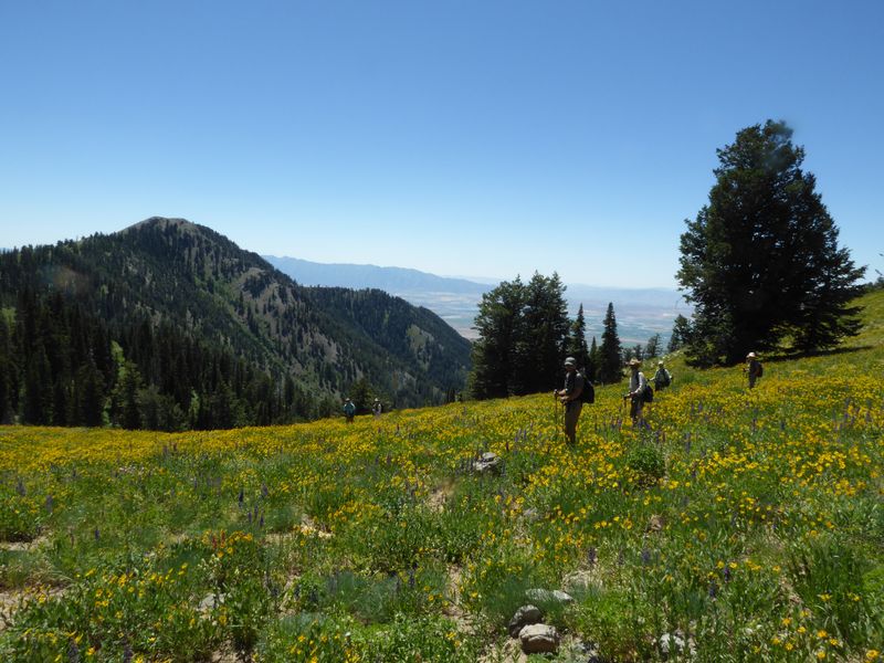
Hiking through a field of little sunflowers (Helianthella) |
|||
|
|
 |
|
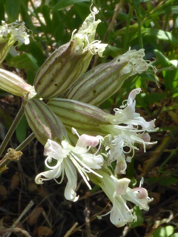 |
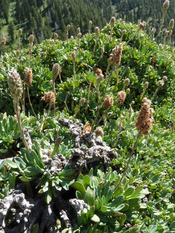
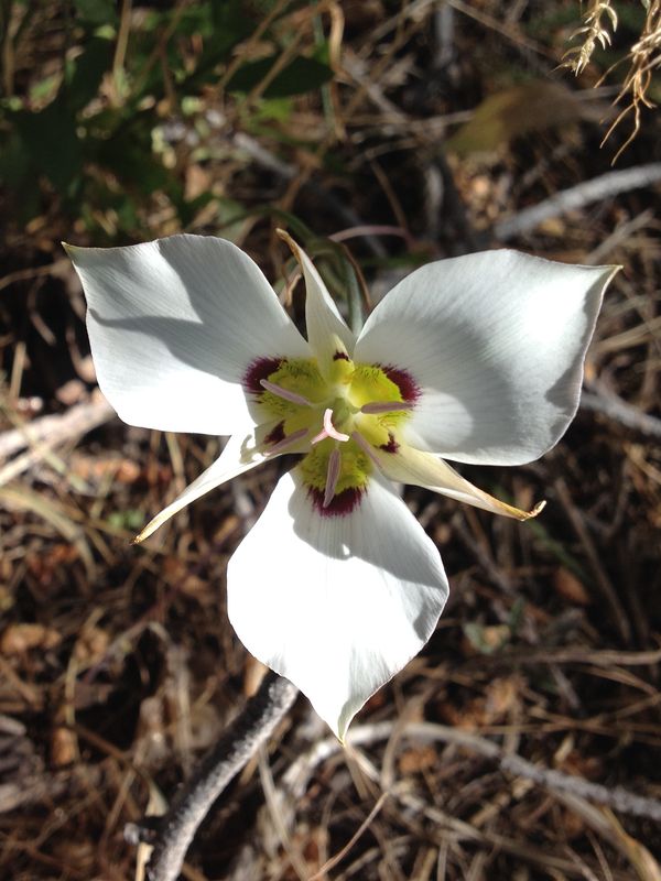
| Tufted rockmat | Sego lily | Mountain beebalm | Douglas's catchfly |
 |
 |
 |
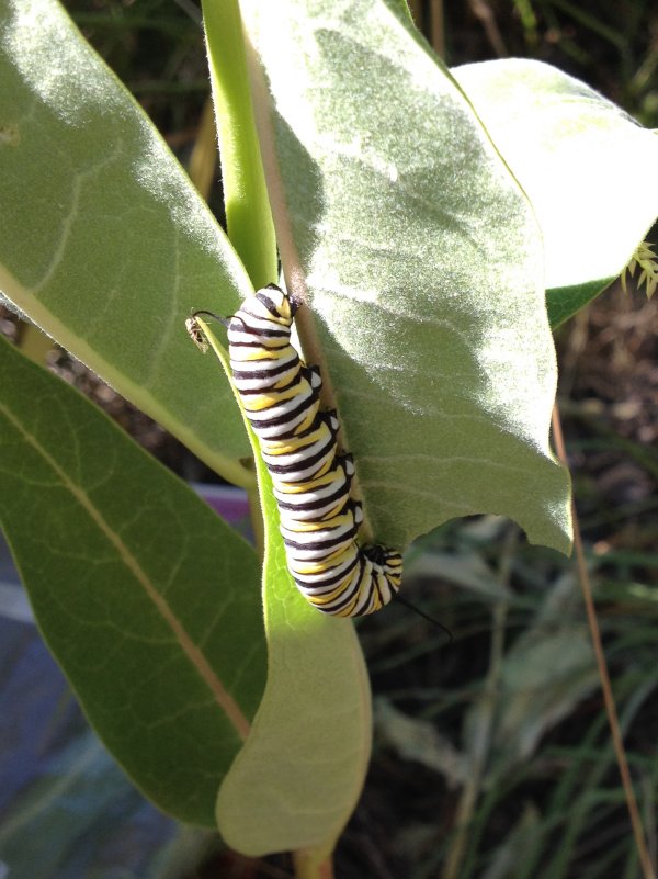 |
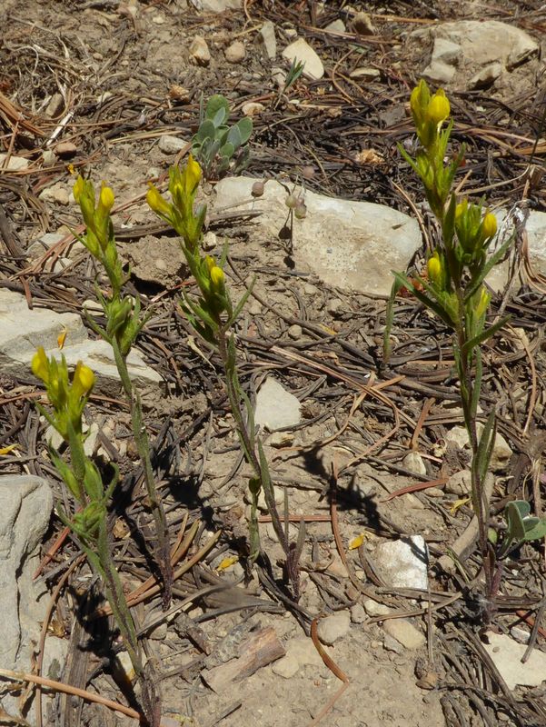
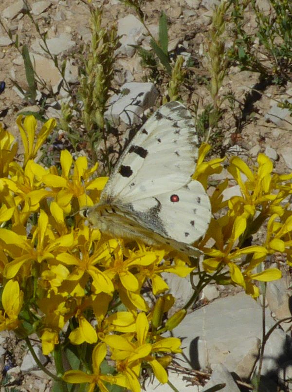
| Showy milkweed | Yellow owlsclover | Parnassius clodius butterfly | Monarch butterfly larva |
 |
 |
||
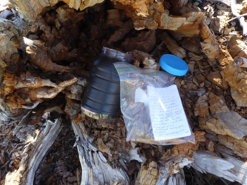
| Geocache on Flattop | Cache Valley view | ||
|
|
|
||
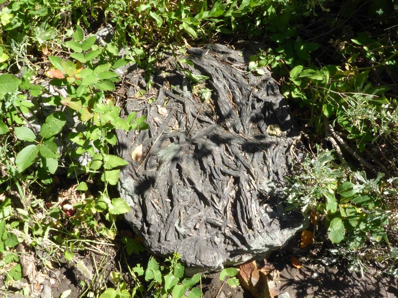
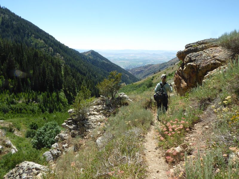
| Fucoidal quartzite | Overgrown trail (in need of "brushing") | ||
|
|
 |
||
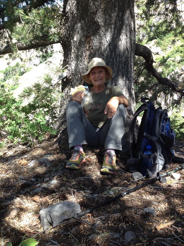
| Wildflowers: little sunflower, lupine and geranium | Taking a break | ||
 |
|||
| Our GPS track showed 10 miles round trip with 4000 feet for hike to Flattop | |||
|
You can look at our route using Google Earth, the various map and aerial views of Google Maps or download our GPS file |
|||