
Home
White Pine Ridge, 26 February, 2023
Four hardy souls turned out for the White Pine ridge winter outing, Chris, Bree and Dan (the leader) on snowshoes and Teresa on skis. We traveled up the canyon and started at about 11 a.m.
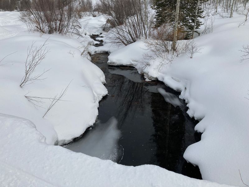
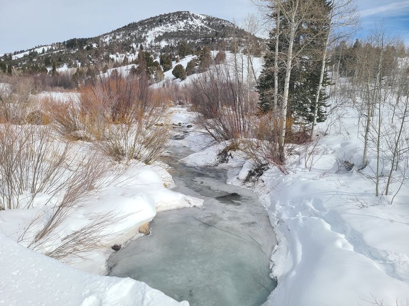
After taking a obligatory photo of the Logan river we hoofed it across the first meadow and up through the woods. We quickly peeled off layers, building up heat as we climbed. A few snow machines passed by. Two red breasted nuthatch entertained us from above.
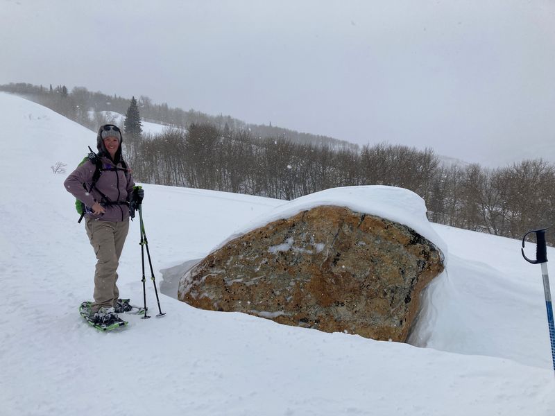
The group stopped for lunch in the shelter of a large conifer in the company of a blue grouse which flew off after a few minutes. After lunch we made our way up toward the yurt and ridge. A navigational error required us to climb a steeper slope than necessary, but we came past the yurt and up on to the ridge having climbed 1200 feet. We immediately donned extra clothing to protect from strong winds.
After a photo the route took us down the ridge tolerating the strong winds and snow. We descended, turning left off the ridge and through the woods emerging eventually into a meadow. The last mile was uneventful, bringing us across the meadows, onto the road and to the car at about 4 p.m.
Trip Summary:
- Four
participants: Dan (leader), Bree, Teresa and
Chris
- Drove 26
miles to the Franklin Basin Winter Trailhead
- Started
hiking just before 11:00 a.m., back at the trailhead
just before 4:00 p.m.
- Overcast
skies, snow and wind
- 4.8 miles
and 1200 feet ascent and descent
Thanks
to Dan for photos and Teresa for photos and GPS data.
 |
 |
||
| The Logan River, Feb. 26,
2023 (left) and Feb. 27, 2022
(right) |
|||
 |
|||
| On the windy
White Pine ridge |
|||
 |
|||
| On the White
Pine Ridge |
|||
 |
 |
||
| View from the ridge |
Descending the White Pine Ridge | ||
 |
|||
|
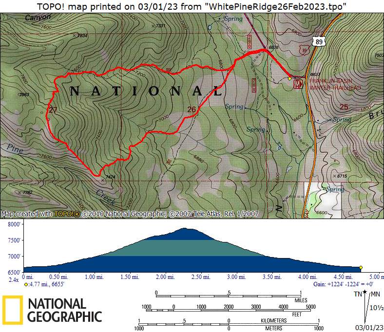
Our GPS track shows about 4.8 miles
and over 1200 feet of ascent/descent.
You can look at our route using
Google Earth or download our GPS
file.
|
|||