
Home
Mount Gog Meadow Hike/Backpack, 10-11-12 July, 2026
Five people went on the backpack: Deb, Susan, Teresa, Brent L., and Dave P. (leader); and three people did the day hike: Jane, Kathy, and Lin. The weather was clear and very warm—the backpackers noted a temperature range of 55 – 80 F. The two groups ate lunch together and then separated. The day hikers went to White Pine Lake, and on the way back took the alternate route to see the quartzite “stairway”.
We in the backpack group took a rarely used route, which was obstructed by numerous fallen trees but we were able to follow it. We arrived at the campsite in Mount Gog meadow at about 1 pm, which left us plenty of time to set up camp. There were still snow patches on Mount Gog, all three streams in the meadow were running well, and there were no cows. The mosquitoes buzzed and pricked us, but oddly none seemed to draw blood or cause a welt. Where we set up the kitchen there was a standing dead tree that a woodpecker used for drumming.
The next day we headed up the Double-Top Trail and were pleasantly surprised to see flagging and trail work, which made the climb much easier. We learned that Cache Trail Runners have adopted the trail. We saw three trail runners and one was carrying a large rake, apparently to do more work. Other than the runners we didn't see any other people after leaving White Pine Trail.
At the ridge between White Pine and High Creek drainages Deb and Dave took the ridge toward Bullen Peak (elev. 9828 ft), while Brent, Susan, and Teresa headed north on the Double-Top Trail. The Bullen Peak group flushed a grouse and one of the chicks flew like a hummingbird between them at about waist height. They got to about 9440 ft before deciding the route ahead looked too cliffy and turned back. The Double-Top group got to the overlook of Steam Mill cirque and turned back. The groups rejoined and returned to camp by early afternoon. Some people napped, or soaked feet in the stream, or wandered nearby. Flowers were everywhere and Deb said she saw every flower in the book.
The next day we retraced the route back to the White Pine trail, and sweated our way up out of the valley. From the high point to the parking lot there was a bit of breeze but we still stopped to cool off at shady spots.
Trip Summary:
- Five
backpackers; Deb, Susan, Teresa, Brent L., and Dave P.
(leader) and three day hikers; Jane, Kathy, and Lin.
- Drove 29 miles to Tony Grove Lake
- Started
hiking Friday about 9:40, lunch 11:20 - 11:50.
Backpackers arrived at camp about 1:00. Hikers returned
to Tony Grove Lake about 3:00. Backpackers
left camp about 8:35 on Monday and arrived at Tony
Grove Lake about 11:20.
- Clear skies
and warm temperatures.
- Day hikers
traveled about 8 miles with 700 feet of elevation
gain. The others backpacked a total of about 10
miles with about 1600 feet of elevation gain (no data
for their hiking on the second day).
Thanks
to Dave P for the narrative and photos, Jane, Kathy
and Susan for photos, and Teresa for photos and GPS
data.
2026.jpg) |
|||
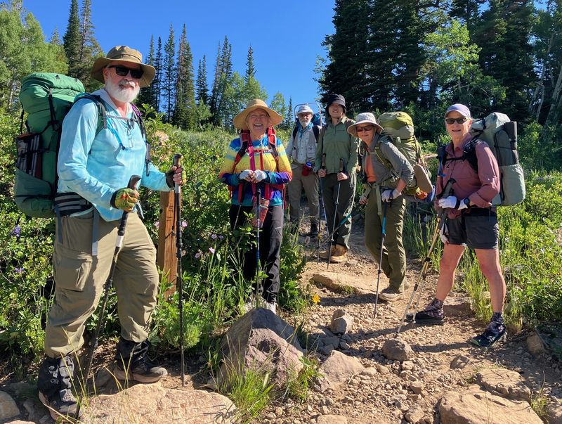
| Starting out
at Tony Grove Lake |
|||
 |
|||
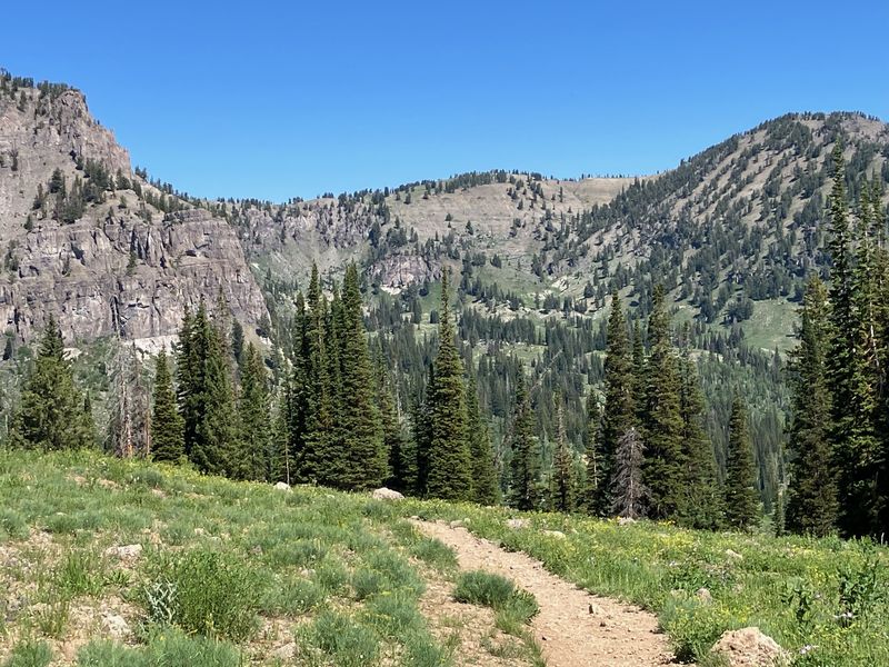
| The first trail junction | |||
 |
|||
| View into
White Pine Canyon (north fork), with Mount Gog
(left), the meadow area (center), and "Pika Peak"
(right) |
|||
 |
|||
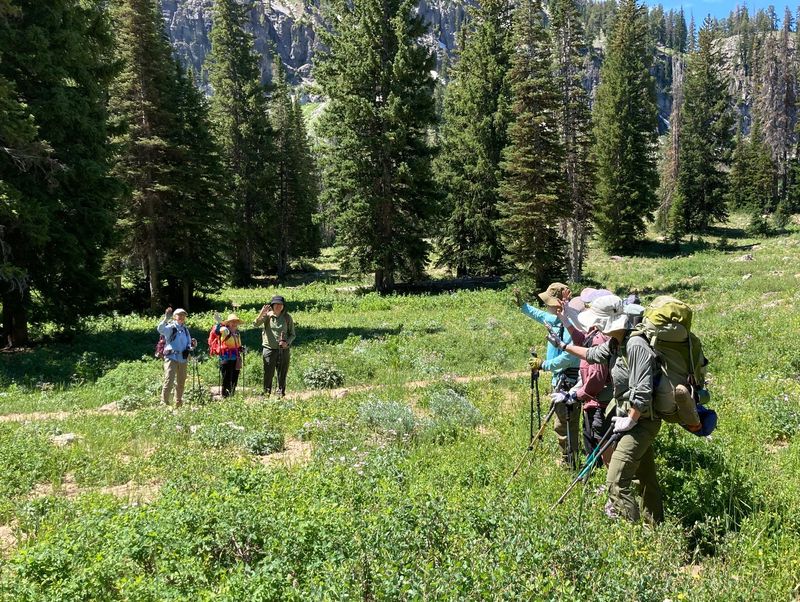
| The group split up after lunch |
|||
2026.jpg) |
 |
||
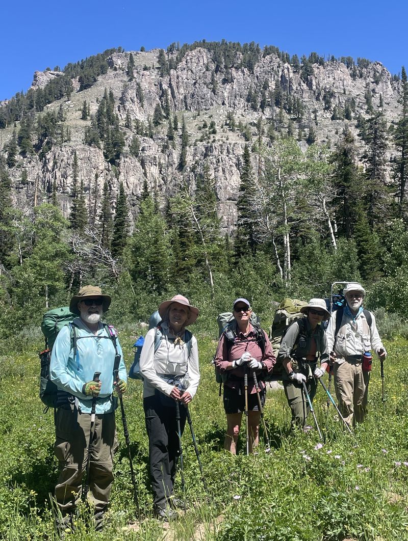
| Day hikers went to White Pine Lake | Backpackers went around Mount Gog |
||
 |
 |
||
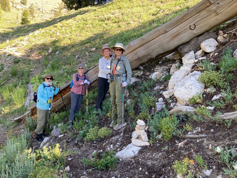
| The log with the horseshoe
diverted the double top trail |
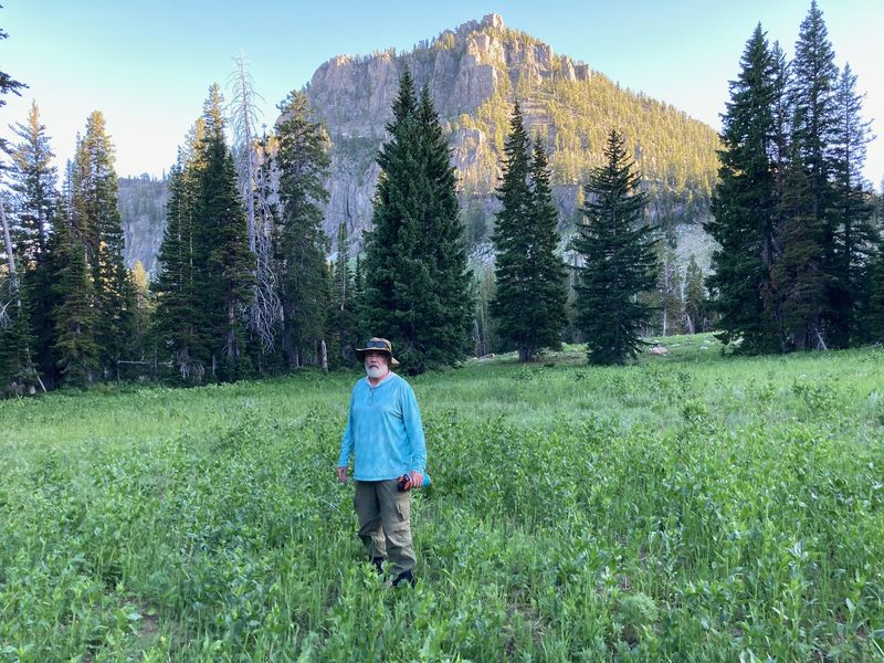
Mount Gog in the late afternoon from
the backpack meadow |
||
 |
2026.jpg) |
||
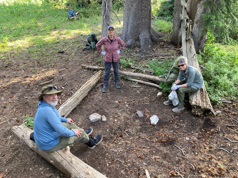
| Backpacker's kitchen and dining room
and living room |
Improved Double Top Trail near
the ridgeline |
||
 |
|||
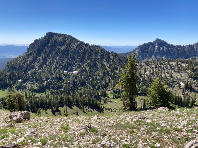
| Mount Gog (left) and Magog (right), viewed from Bullen Ridge | |||
 |
|||
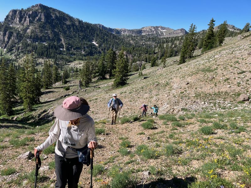
| Climbing toward the main ridge of the Bear River Range | |||
 |
 |
||
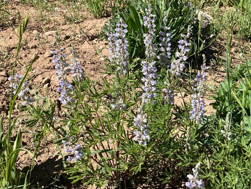
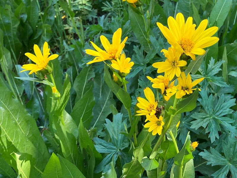
| Lupine | Mule ears | ||
 |
 |
||
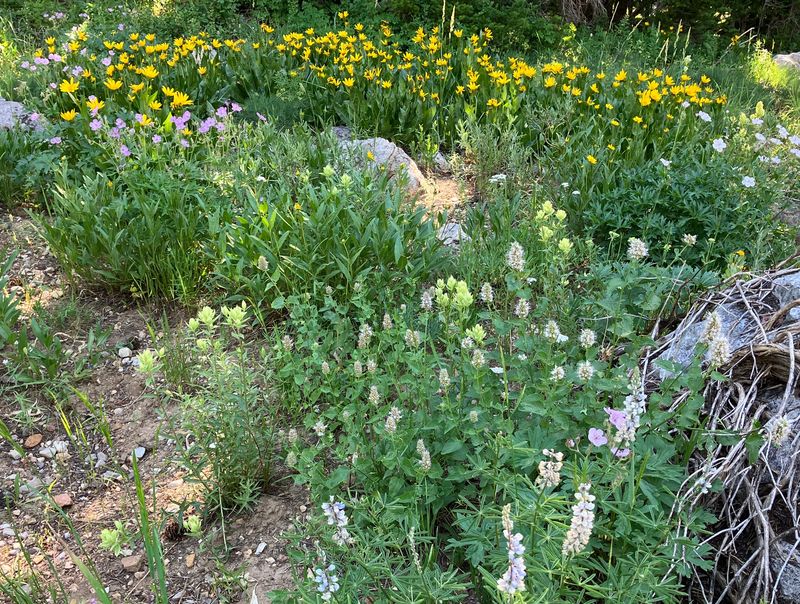
| A wildflower garden |
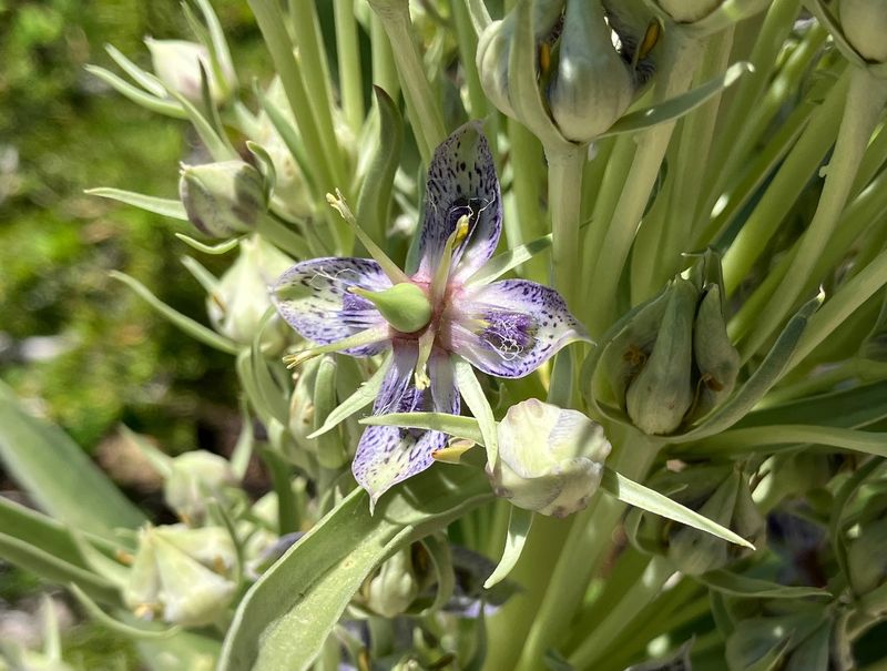
Giant green gentian, Frasera
speciosa |
||
 |
 |
||
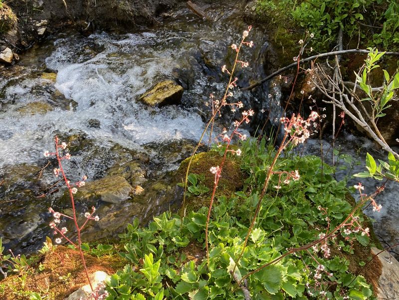
| Brook saxifrage |
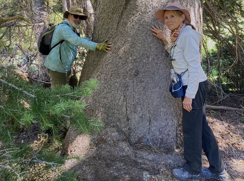
A large spruce tree |
||
 |
 |
||
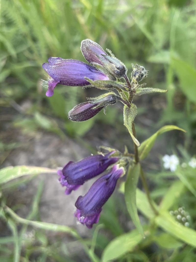
| Whipples penstemon |
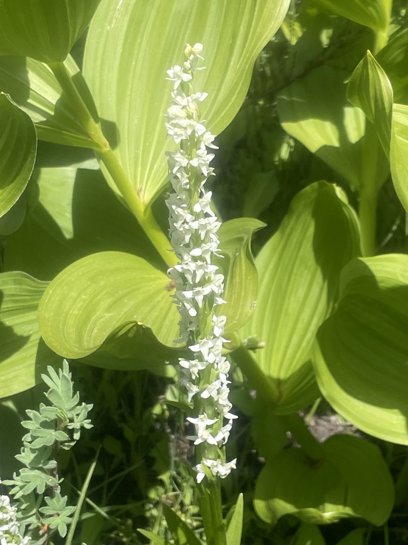
Bog orchid |
||
 |
|||
| Stemless
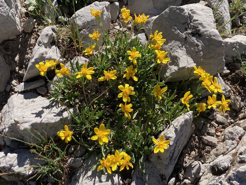
goldenweed? |
|||
.JPG) |
|||
|
Our GPS track shows about 10 miles
of backpacking with about 1600 feet of ascent.
You can look at our route using
Google Earth or download our GPS
file.
|
|||