
Green Canyon Ski/Snowshoe, 15 January 2017
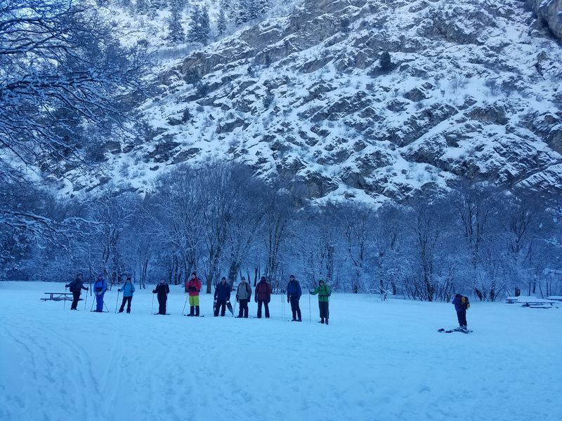
Originally scheduled for Amazon Hollow, 14 people carpooled up to Green Canyon after deciding on a lower-elevation excursion. Clinton, Scott, Mark, Jane, Kathy, Nikolai, Tori, Laurel, Maggie and Dan, the leader, were on snowshoes while Dave P., Dave W. and Chris were on cross-country skis. Nick was able to travel on boots alone due to the very firmly packed surface of the groomed trail.
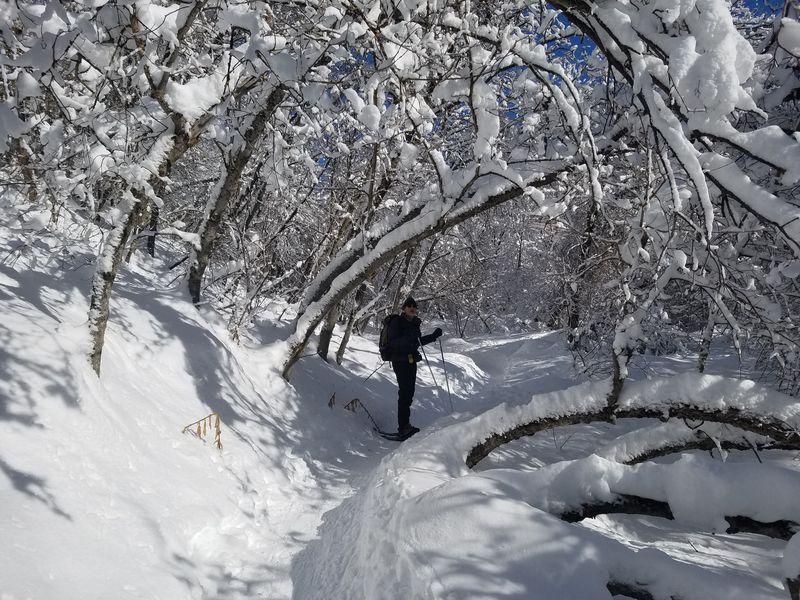
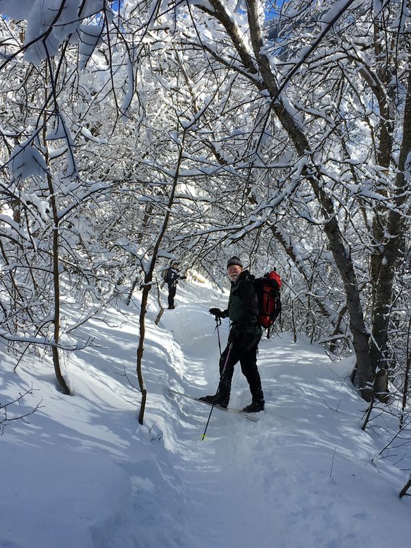
We started on the trail about 10:30am. With cold fingers we trudged up the single track with the skiers staying mostly on the groomed ski track (thanks to Nordic United). It was a beautiful day and we soon warmed up as we ascended out of Cache Valley's temperature inversion. About 11:35 am we emerged from the shady part of the canyon and and took photos of the bright and snowy scene. The faster skiers and snowshoer went up ahead but we kept in contact with our walkie-talkie radios.
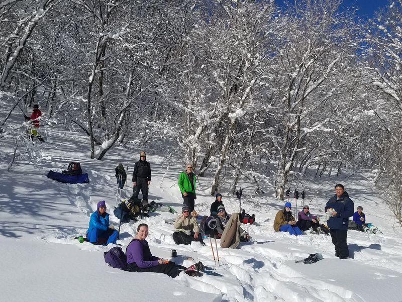
After traveling about 3 miles we found a nice sunny spot to have lunch. We were tired and ready for a rest, especially since it was the first time out this season for some of us. After lunch we put our gear back on and headed down the road. The skiers had a good time and were down much faster than the snowshoe or boot clad folks. On the way down this popular trail we were pleased to encounter some acquaintances. The last of the snowshoers arrived at the parking area after being delayed by a few stops for conversation and photography, about a half-hour after the skiers got there.
It was a moderately strenuous 6-mile trek, having climbed and descended about 800 ft. We returned to the smoggy cold air of the valley about 2:20.
Trip Summary:
- Organized carpools and drove 5 miles to the Green Canyon parking area
- On the trail about 10:30, with lunch about 12:15-1:05
- Back at the parking area about 2:20
- It was 14 -18 ° F and hazy at the trailhead, but 30 - 34 ° F with clear air, sun and 33 inches of snow at our lunch area
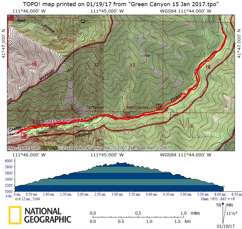
- Our GPS showed 6.1 miles with 800 feet of elevation
Thanks to Dan for the narrative, photos and GPS work and Jane and Dave W. for photos.
|
||
| Snowshoers in a shady meadow near the start of our trek | ||
 |
 |
|
 |
 |
|
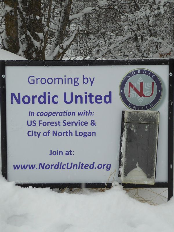
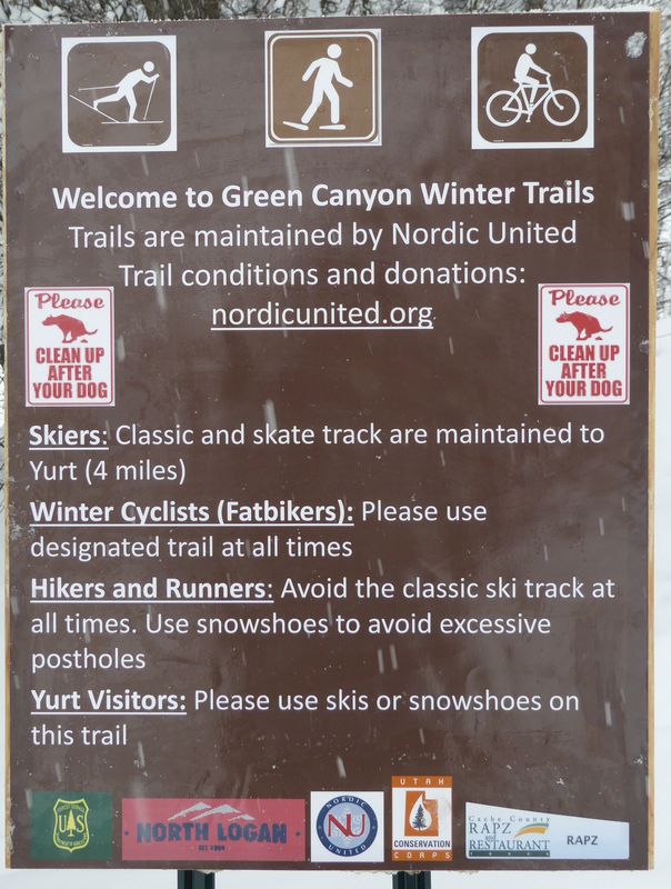
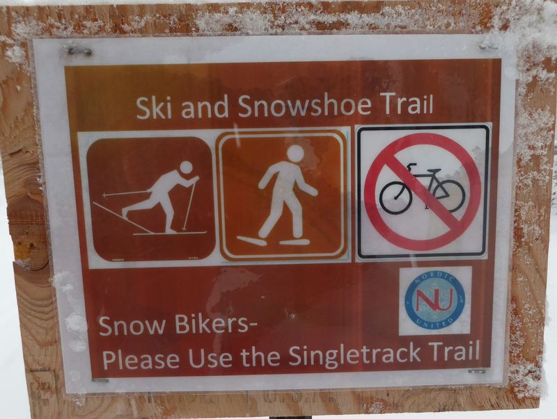
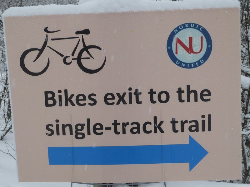
| Signs provided by Nordic United provide guidance to the variety of trail users: classic cross-country skiers, "skate" skiers, snowshoers, "fatbikers", and walkers/runners | ||
|
||
Snowshoeing on a sunny section of the single-track trail |
||
|
|
|
| A skier on the single-track trail | Skier and snowshoers on the wide (and shady) groomed trail | |
 |
||
| Our sunny lunch spot | ||
 |
||
| Our GPS track showed 6 miles with 800 feet of ascent, up the single-track trail and down the groomed track (road) | ||
You can look at our route using: Google Earth, the various map and aerial views of Google Maps or download our GPS file. |
||
.jpg)