Home
Horse Lake (Utah), 28 June, 2026
The Trail Up
I woke up and looked at the thermometer: 50°F. The forecast predicted a high of about 57°F in Logan, and up at Horse Lake, a high of 52°F with mostly sunny skies. A morning at 50°F in the Bear River Range on the last Sunday of June is one of those rare gifts the mountains hand you without warning—a perfect forecast for a day on the trail.
Fifteen of us met at our usual spot at Smith’s Marketplace on North Main in Logan for this moderately strenuous hike. After quick introductions, we split into carpools and drove about 30 miles to the Beaver Mountain turnoff parking area, where we met one additional hiker.
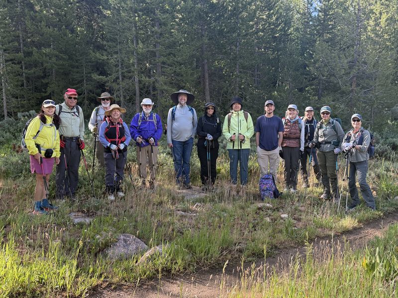
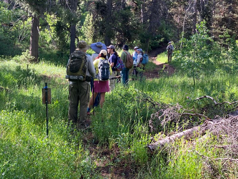
From the lot, two Amblers set off on a separate hike, while the remaining 14 of us crossed US-89 and headed to the Stump Hollow Trailhead. After about a quarter mile, we took the "official" trail that was built to accommodate the Great Western Trail in the 1990s. It was obviously not getting much traffic, indicating that most hikers and mountain bikers are still using the old Jeep trail up the drainage.
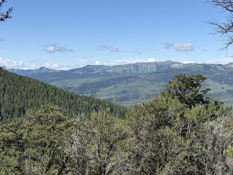
After about two-thirds of a mile, the trails rejoined and we continued up the hollow. After another 2 miles, at the top of the switchbacks, we reached the viewpoint above Brush Canyon. This spot offers a sweeping look at the spine of the Bear River Range. Beirdneau Peak, Mount Jardine, Mount Elmer, Naomi Peak, Mount Magog, Mount Gog, and Doubletop Mountain were all easily visible.
Horse Lake & Local Geology
After a short break to admire the views, we continued up the Stump Hollow Trail for another 0.6 miles to a junction with the unofficial Horse Lake Trail. Most of us had passed this intersection on previous hikes to Peter Sinks, but today we turned onto the Horse Lake Trail to see the lake and find a scenic lunch spot.
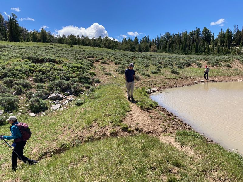
Following a climb of about half a mile, we reached the rim of the Horse Lake Basin. Expecting a dry lakebed due to the abnormally low snowfall this winter, we were surprised to find water still sitting in a couple of locations. We paused here to discuss the unique geology of the basin:
The Geology of Horse Lake
- Ancient Seafloor: The Bloomington Formation underlying this area was deposited roughly 500 million years ago in a shallow, fluctuating ancient sea. The alternating layers of shale and limestone reflect repeated shifts in sea level—deeper water left muddy shale, while shallower water left carbonate-rich limestone. Centuries later, the Sevier orogeny folded and uplifted these beds, and erosion stripped the surface down to expose different rock layers across the landscape.
- Stalled Collapse: Horse Lake’s basin likely formed through the same karst dissolution and collapse processes that created nearby Peter Sinks. However, while Peter Sinks punched entirely through the limestone to form open drainage conduits, the collapse at Horse Lake stalled when it hit an impermeable layer of shale.
- Holding Water: Because the basin is floored by this tight shale, the lake is entirely dependent on snowfall. The only water loss comes from evaporation and slow lateral seepage where the shale thins or fractures at the margins. There is no vertical drain or open karst throat here—just an ancient, muddy seafloor doing its original job of holding water.
- The Low Point: We did find a small sink at the absolute low point of the basin, though that section is currently isolated by a man-made dam.
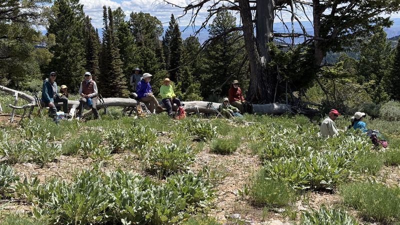
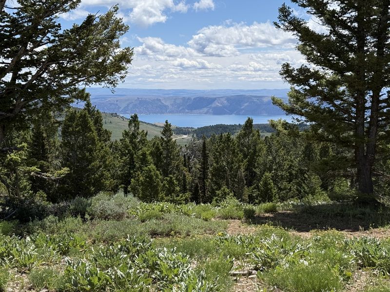
From the basin, we headed southeast to the ridgeline, arriving at an open area with great views of Bear Lake to the east at around 11:45 AM. A strong, cool breeze was blowing out of the northwest, making us very thankful for the bright sunshine. We took a relaxed 30-minute lunch break, enjoying the views and the weather.
After lunch, we turned north to find the unmarked horse trail that follows the ridge down adjacent to Amazon Hollow. It was a remarkably steep descent: we had gained about 1,800 feet over 4 miles to reach the summit, and we dropped that same elevation over just 2.25 miles on the way down. As we approached the intersection with the old Garden City Road, we came across a “party” location where the “partiers” had left their trash. Several members of the group cleaned up the mess and carried it out for proper disposal.
The Old Garden City Road
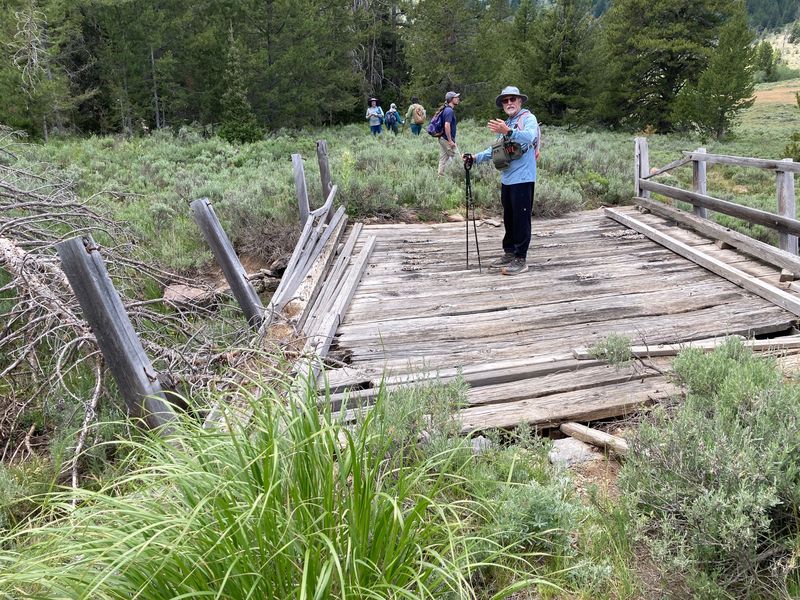
The steep ridge trail eventually dropped us onto a segment of the old Garden City Road. Turning west to reconnect with the Stump Hollow Trail, we walked the historical route and reflected on its history:
- The Logan
Canyon road was started in 1862. By 1869 a toll
road ran to Wood Camp, and by 1880s, the road served
the Temple Fork Sawmill. However, a 1892 article
in the Logan newspaper noted "The road through
Logan Canyon is in a sad condition. In places it is
hardly passable. Here and there huge boulders adorn
the road, while deep mudholes and dangerous washouts
render a ride through the canyon somewhat
exasperating . . ."
- Subsequent road construction led to two passable routes to Bear Lake. The Meadowville Road left Logan Canyon after 9 miles to follow the Right Fork to Mud Flat and east to Meadowville at the south end of Bear Lake. The Garden City Road left Logan Canyon after 22 miles to follow Beaver Creek and Amazon Hollow, on to Bear Lake Summit and Garden City (Logan Canyon does not continue east toward Garden City, it actually runs north to Franklin Basin in Idaho).
- Several factors caused the Garden City Road to become the favored route; a dugway was constructed around a challenging section in 1914-1915, travel was hindered by a difficult section on the Meadowville Road above Mud Flat, and local leaders favored the Garden City route because it served the Amazon Mine.
- The dugway was improved in 1932 and the road was realigned and surfaced between 1935 and 1939 using federal and state money. Its completion in 1939 marked the first time the road to Garden City could be plowed and kept open year-round, paving the way for winter recreation and the establishment of Beaver Mountain Ski Resort. The old Garden City Road east of Stump Hollow was replaced by a newly constructed US-89 route above Amazon Hollow, although much of that section of the old Garden City Road is still used as a Winter Sports Trail.
The "Amblers"
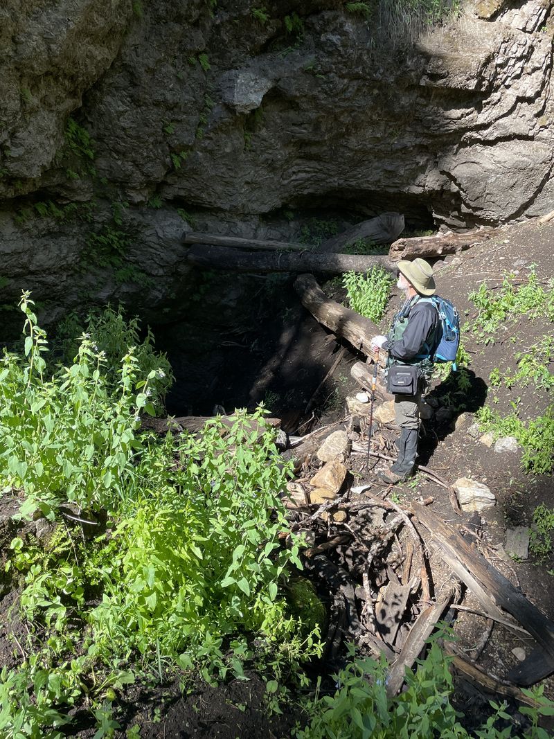
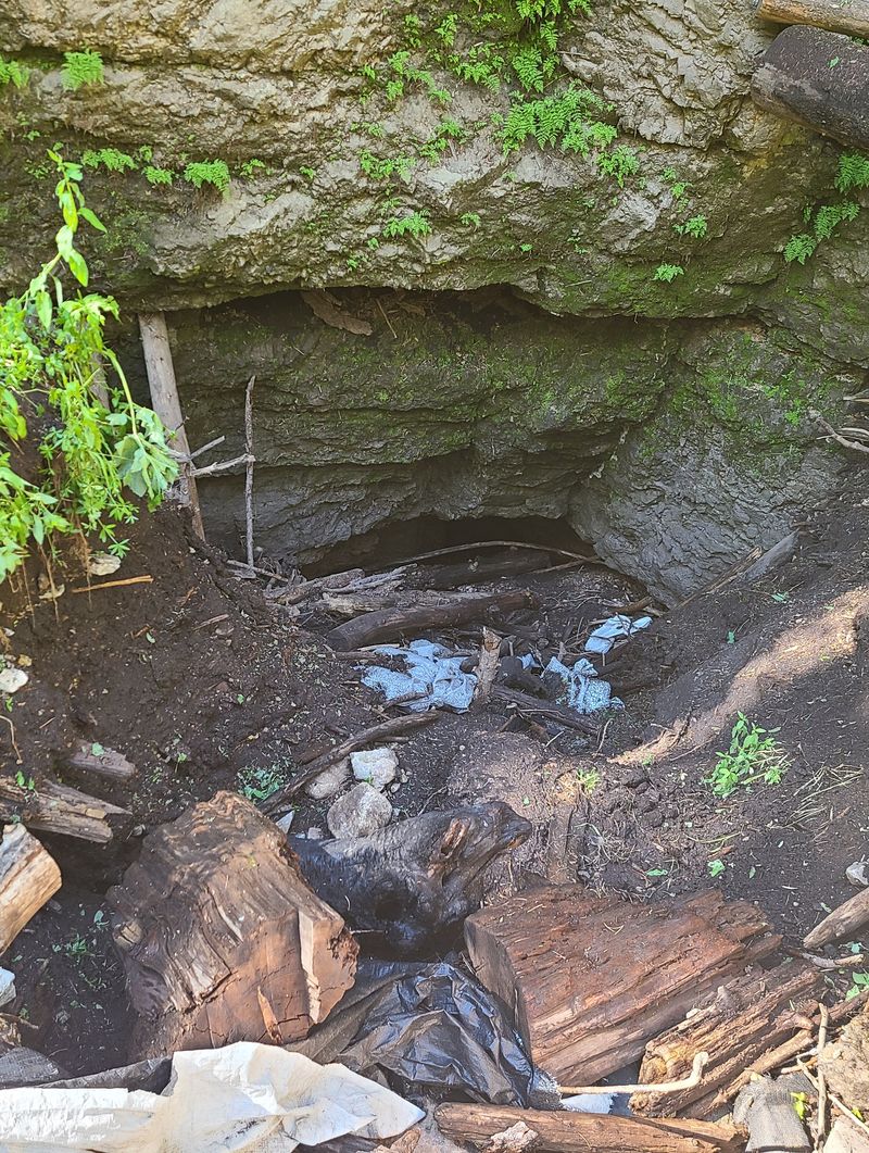
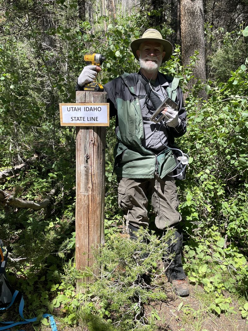
Two people opted for an easier excursion with an "amble" up nearby Sink Hollow. They drove up the Sink Hollow Road and parked near the SITLA/Forest boundary and the beginning of the "50 inch" trail in Sink Hollow. On their walk up Sink Hollow they stopped to look at the enlarging cave entrance at the bottom of the sink before attaching a temporary sign at the Idaho border to replace the missing marker.
Trip Summary:
- 14 Hikers, Susan, Dave P.,
Kathy, Ocean, Lin, Dave W., Jane, Bruce, Sue,
Stephanie, Brent L., Teresa, Kamren, Christine, Deb,
and Ralph (Leader), and two "amblers", Dave W and
Christine.
- Drove 28 miles to the
Beaver Junction Picnic Area and Winter Trailhead (the
amblers drove three miles farther north to hike Sink
Hollow)
- Started hiking at 8:50 AM, lunch from 11:45 AM to 12:15 PM, returned to trailhead at 2:20 PM
- Mostly sunny, breezy, and beautifully cool for late June
- Hiked about
8 miles with 1800 feet of elevation gain (the amblers
walked 2.3 miles with 300 feet of elevation)
Thanks
to Ralph for the narrative, photos and GPS data, and
Jane, Dave P, Christine, Brent and Susan for photos..
 |
|||
| Hikers, at the bottom of the Stump Hollow Trail | |||
 |
 |
||
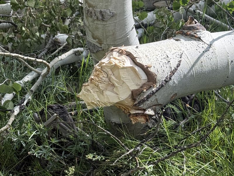
| Evidence of maintenance on the lesser-used "official" rail | The "official" trail joins the old Jeep road after 2/3 mile | ||
2026.jpg) |
 |
||
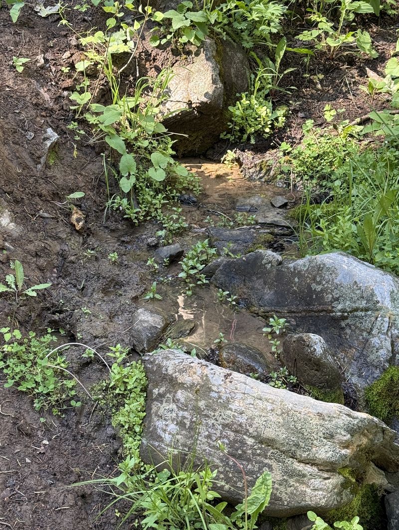
| Inspecting a tree stand (for hunters)
located near a spring (right) |
|||
 |
|||
| Beirdneau Peak
and Mount Elmer, viewed from upper Brush Canyon |
|||
 |
|||
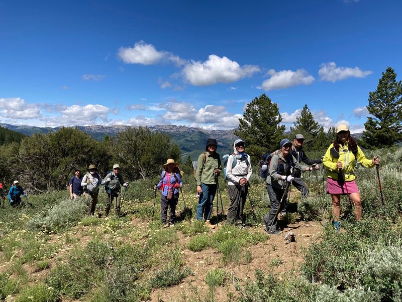
| On the Horse Lake trail | |||
2026.jpg) |
|||
| Approaching
Horse Lake |
|||
 |
2026.jpg) |
||
| A man-made dam (left) prevents Horse Lake from draining out its natural outlet (right) | |||
 |
|||
| Enjoying lunch
with a view of Bear Lake (below) |
|||
 |
|||
| Bear Lake, as seen from our lunch location | |||
 |
 |
||
| The bridge on the historic Garden City
Road |
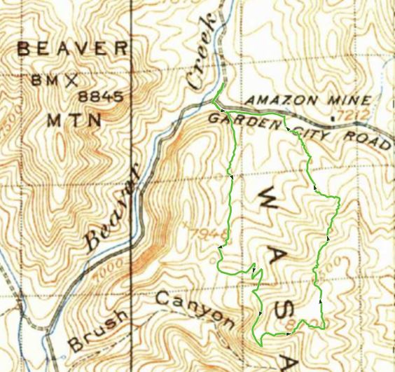
Our Horse Lake route is marked on this 1914 map | ||
    |
|||
| "Ambler Dave"
inspecting the cave at the sink bottom, partially
filled with debris from a failed attempt to
protect and stabilize the opening (left two
images), installing a temporary "Idaho" sign at
the border (right) |
|||
 |
 |
||
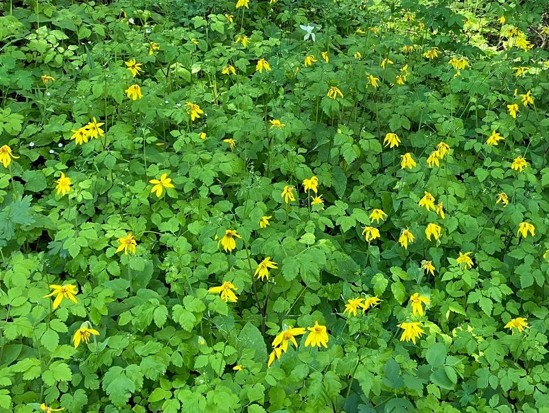
| Heartleaved arnica (with mountain
sweet cicily) |
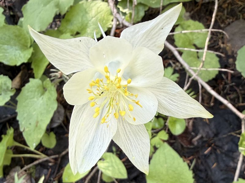
"Blue" columbine |
||
2026.jpg) |
 |
||
| Striped coral root orchid |
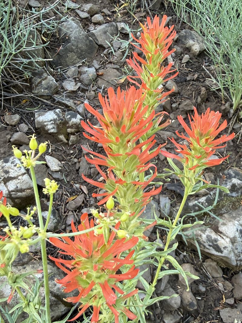
Paintbrush |
||
 |
 |
||
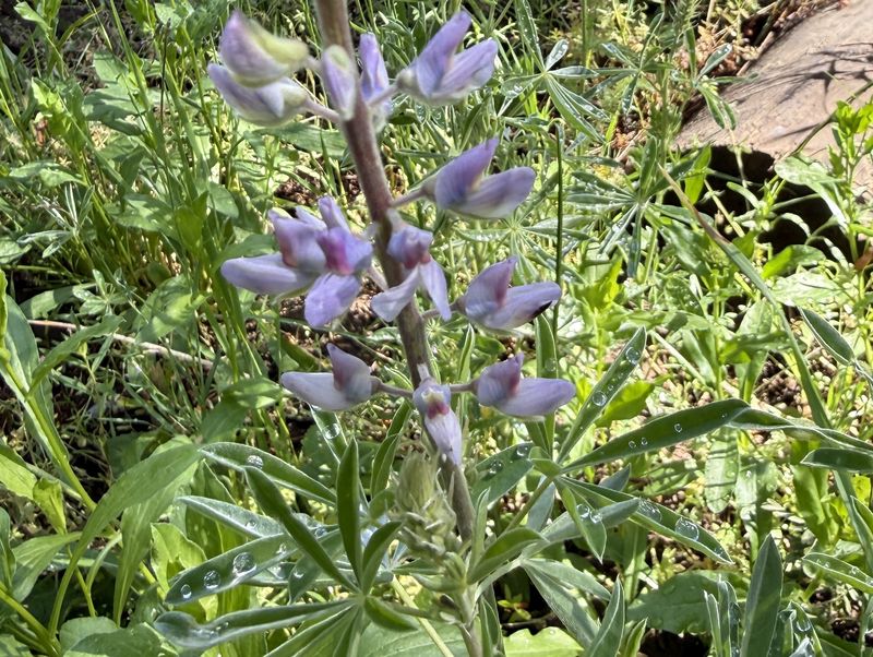
| Lupine |
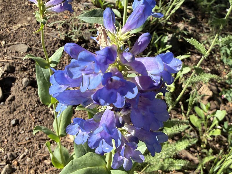
Penstemon |
||
 |
 |
||
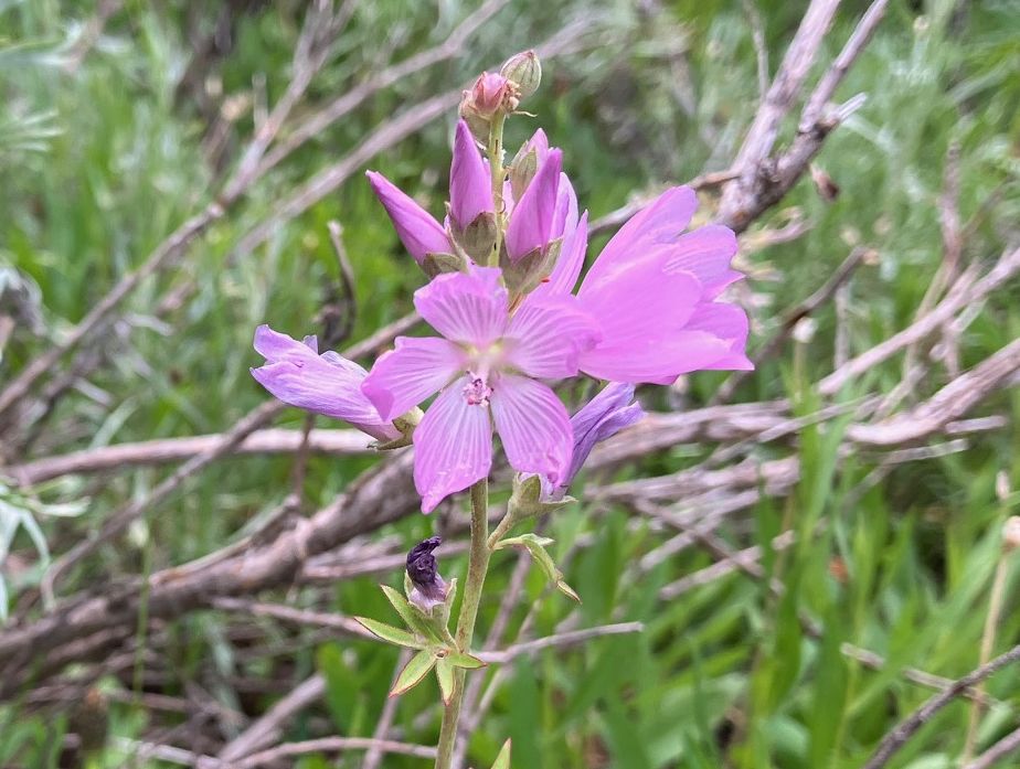
| Oregon checkermallow |
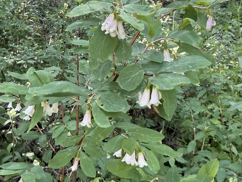
Snowberry |
||
 |
 |
||
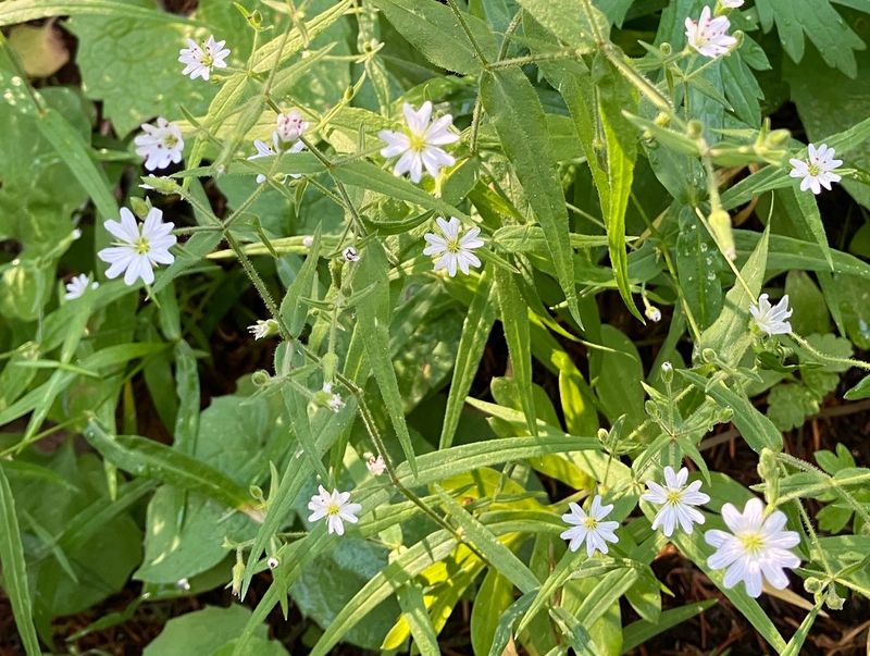
| James stellaria |
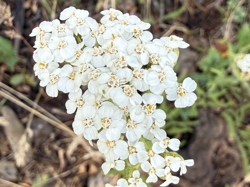
Yarrow |
||
 |
 |
||
| Elk thistle |
Fleabane |
||
 |
|||
|
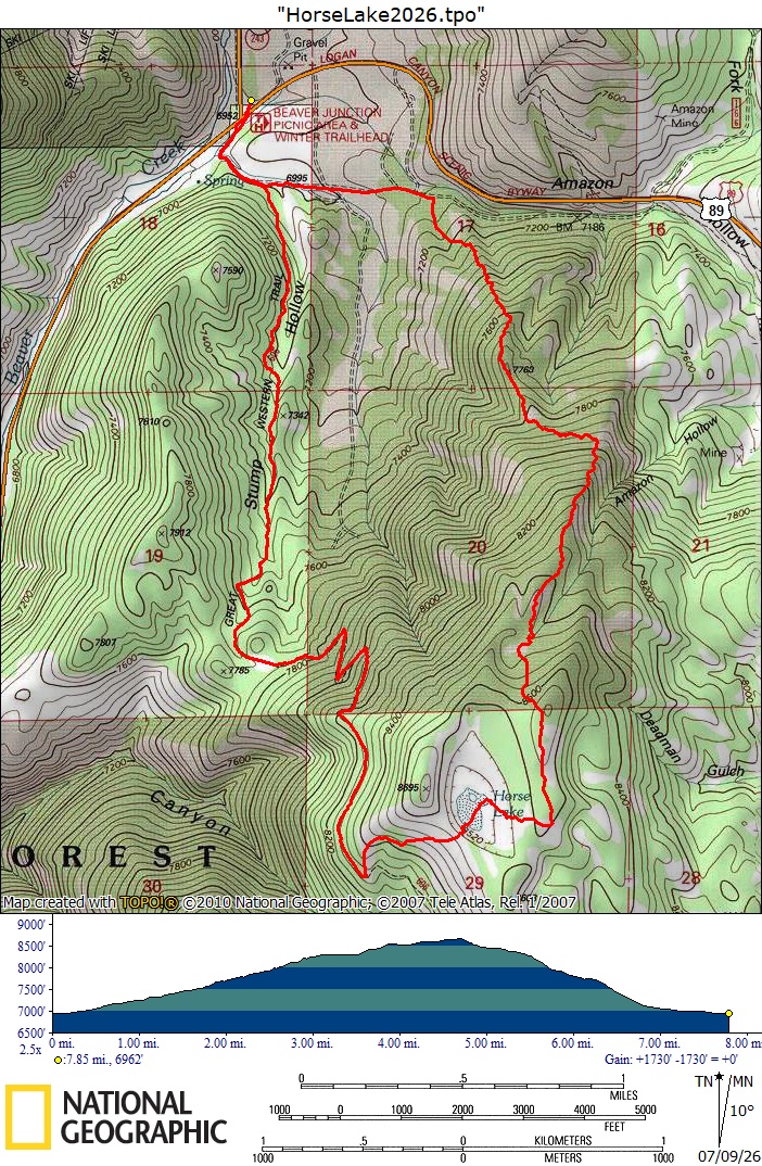
Our GPS track shows about 9 miles
and 1800 feet of ascent.
You can look at our route using Google
Earth or download our GPS file.
|
|||