Home
Horse Lake Idaho, 23 August, 2026
Hike description
Twelve hikers met at the Smith’s Marketplace parking lot on Main Street on a pleasant Sunday morning. After introductions, we split into carpools and drove about 25 miles to the Franklin Basin Road turnoff from US-89, then another 7.5 miles up Franklin Basin Road to Corral Hollow in Idaho. That’s when the day’s plans took a turn. Nine of us prepared for the hike while waiting for the final three hikers to arrive. After about 15 minutes, two of us drove back down Franklin Basin Road to look for them. We went all the way back to US-89 and did not find them on the road or at any pull-off locations. We returned to Corral Hollow, assuming the other group had either missed the turnoff or had some reason to return to Logan.
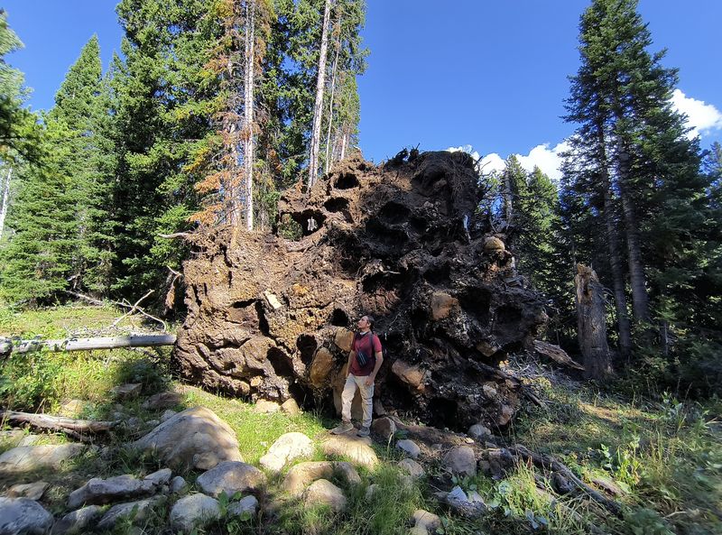
After an hour delay, we started hiking up Corral Hollow at about 10:00 AM. The skies were mostly blue with scattered clouds, and the temperatures were pleasant, as expected at a starting elevation of about 8,000 feet. After stopping to photograph the largest root section of a fallen tree we had ever seen, we continued up the hollow to meet the Highline Trail, about 1.6 miles from the trailhead. After a short break in the shade, we followed the Highline Trail toward Gibson Basin and our destination, Horse Lake. We reached the highest point of the hike at about 8,800 feet, then worked our way down the Highline Trail for roughly another two miles toward Gibson Basin. Although the Highline Trail is open to motorized all-terrain vehicles, we saw none. As we continued, it was easy to understand why: the trail is in very poor condition, with severe washouts and steep, rocky, eroded sections that seemed unsafe even for an all-terrain vehicle. Along the way we passed a varied forest of quaking aspen, lodgepole pine, subalpine fir, and Engelmann spruce.
As we approached Gibson Basin, we suddenly heard a familiar voice over our walkie-talkie radios: the three missing hikers were waiting for us. They had missed the Franklin Basin Road turnoff, continued to Beaver Mountain, then drove up Beaver Creek Road to reach the Highline Trail from the opposite direction. As it turned out, their route was about the same distance and elevation gain as ours. We met up around noon and headed straight across Gibson Basin toward Horse Lake, arriving at about 12:20 PM.
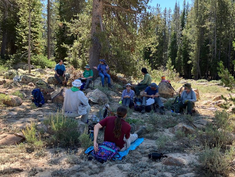
Near Horse Lake, we found a shady spot with nice-sized boulders for seating and enjoyed a relaxing lunch.
After lunch, we split into three groups for the return (you can view the routes on the map, below):
- Four returned to Corral Hollow by the original out-and-back route They climbed out of Gibson Basin on a steep section of the Highline Trail and returned down Corral Hollow, reaching the trailhead about 2:45 PM.
- Four hikers followed an ATV trail to the north end of Gibson Basin, then followed the Highline Trail to the southeast, arriving at the trailhead near Beaver Creek Campground about 3:00 PM.
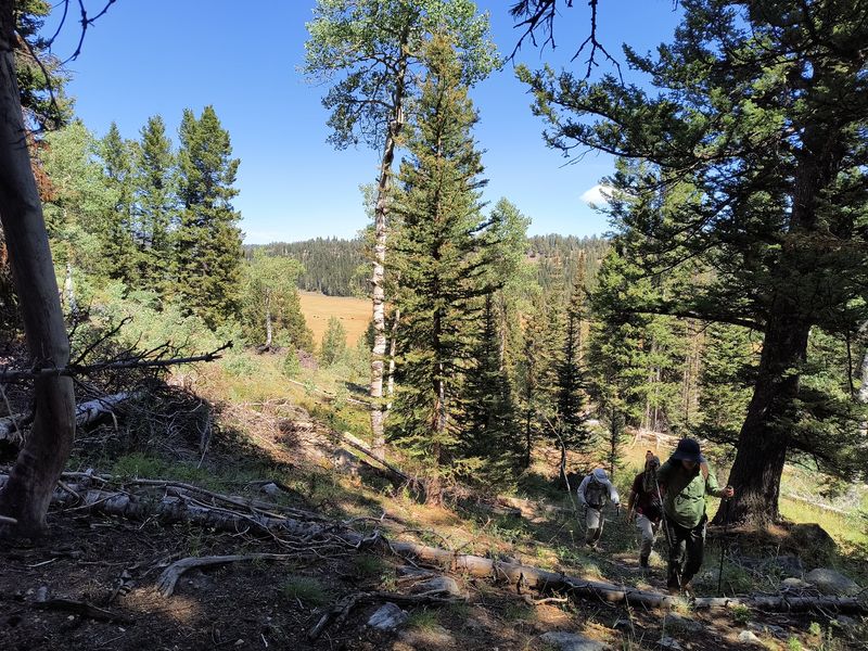
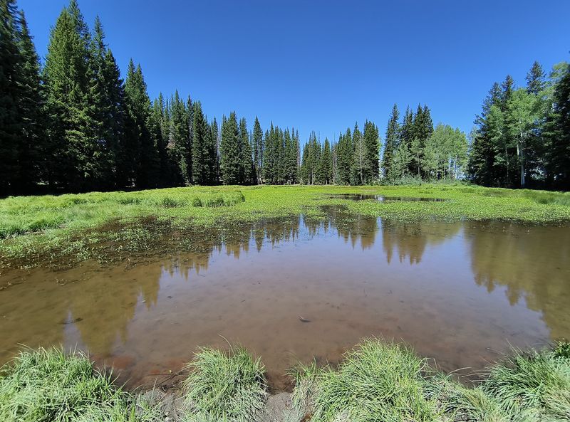
- The remaining four hikers chose to return via Hidden Lake, southwest of Horse Lake. They followed the base of the steep slope counterclockwise from Gibson Basin, a distance of about two miles. From Hidden Lake, they worked their way up to the ridge and headed north to a slope with a clear path back to the Corral Hollow Trail and reached the trailhead about 4:15 PM.
The route to Horse Lake passes through a landscape shaped by ancient seas, carbonate bedrock, and later Ice Age activity. The following notes provide context for the basin, the lake, and the surrounding terrain encountered during the hike.
Corral Hollow at Franklin Basin Road begins in an area of glacial deposits from the Pleistocene epoch, or Ice Age, which lasted from roughly 2.58 million years ago to about 11,700 years before present. These deposits include till and outwash made up of gravel, sand, silt, and clay. They were formed by valley glaciers at higher elevations. The area also includes deposits from several glacial episodes, along with rock glacier deposits and some modern alluvium derived from reworked till and outwash.
After a short distance, the route enters the Laketown Dolomite formation and remains in that formation to the lake and back. This formation includes marine dolostone, limestone, and sandstone in east-central and southeastern Idaho, including the Summerhouse, Kinnikinic, and Swan Peak sandstones as well as the Fish Haven, Laketown, Jefferson, Three Forks, and Darby formations. It belongs to the Ordovician–Devonian interval, approximately 487 to 359 million years ago; within that span, the relevant rocks formed roughly 470 to 431 million years ago.
The Lake and Basin
Horse Lake occupies part of Gibson Basin, a high mountain depression. Water levels vary with precipitation and season. Recent accounts note water present, sometimes covering several acres, even after dry summers; at other times, the lake can shrink or appear intermittent. Nearby features include other small lakes and ponds, including Hidden Lake and Blue Lake, as well as several drainages.
Horse Lake most likely formed primarily as a karst, or solution, depression in Paleozoic carbonate rocks, with possible modification by Pleistocene glaciation. Pleistocene valley glaciers and smaller cirque glaciers existed in the Bear River Range. Some higher basins in the range are glaciokarst features: glacial cirques or scoured depressions that were later deepened or sealed by solution processes. Glacial meltwater and fine sediment can also help create or maintain low-permeability seals that allow ponds to hold water. Horse Lake is shallow and variable in size, which is consistent with a solution basin or lightly glacially modified depression that fills with snowmelt and rain rather than a classic deep, moraine-dammed tarn.
Recent History
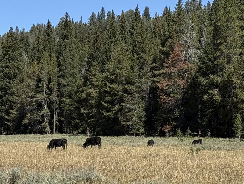
No detailed historical account of the specific naming of Corral Hollow turned up in readily available sources. Corrals, temporary camps, and stock trails would have been common in such basins, and more recently the location has been used by sheep herders and recreational campers. The names “Corral Hollow” and “Horse Lake” fit this pattern well: descriptive names for places where stockmen may have held or watered horses and cattle. In fact, on this day there were cattle drinking from the lake. “Gibson Basin” is less clear; it may derive from a local rancher, herder, or surveyor’s name, but no confirmed origin has surfaced in online sources.
Gibson Basin and Horse Lake appear to have been quiet, high-country summer range and watering spots for livestock for well over a century, with earlier Indigenous seasonal use. They never attracted the type of intensive settlement or industrial activity that tends to generate detailed published histories. Instead, their story fits into the broader regional history of Shoshone presence, fur trappers, Mormon pioneer ranching, and Forest Service management. For hikers, that quiet history is part of the appeal: the route combines mountain scenery, varied geology, and a sense of high-country use that has remained relatively understated over time.
Trip Summary
- 12 hikers: Brent J, Brent L, Bruce, Dave P, Jane, Kamren, Lin, Ocean, Richard, Sue, Teresa, and Ralph (Leader)
- Drove 33 miles to the Corral Hollow trailhead on Franklin Basin Road in Idaho
- Started hiking at about 10:00 AM and reached Horse Lake for lunch at about 12:30 PM
- Out-and-back
hikers returned to the trailhead about 2:45 PM, Hidden Lake
hikers returned to the trailhead about 4:15 PM,
and the other hikers returned to
the Beaver Creek Trailhead about 3:00 PM
- Clear skies with scattered clouds, occasional cool breezes, and temperatures in the mid-60s to mid-70s
- Out-and-back
hikers traveled about 8 miles with 1,400 feet of
ascent, Hidden Lake hikers traveled about 8 miles
with about 1,600 feet of ascent, the others traveled
about 8 miles with about 1100 feet of ascent.
Editor's
note: Hikers traveled over a variety of terrain on
this trip; the seldom-used and unmaintained Corral
Hollow Trail, the often steep and eroded Highline (ATV)
Trail, and an off-trail route to-and-from Hidden Lake.
Thanks
to Ralph for the the narrative, photos and GPS data,
Kamren for photos and GPS data, Jane for photos, and
Teresa for GPS data.
 |
|||
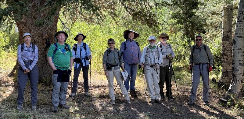
| At the Corral
Hollow trailhead - notice the sheep herder
graffiti on the aspen tree ("Pedro, 2011, Peru") |
|||
 |
 |
||
| Tree rootball near the trailhead |
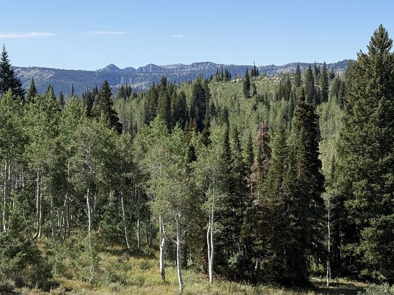
Looking south toward Mt Gog and Magog |
||
 |
2026.jpg) |
||
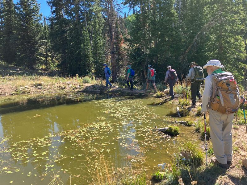
| Stock pond, about a mile from the
trailhead |
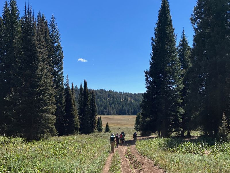
Hiking up the seldom-traveled Corral
Hollow trail |
||
2026.jpg) |
 |
||
| Approaching the Corral Hollow -
Highline trail junction |
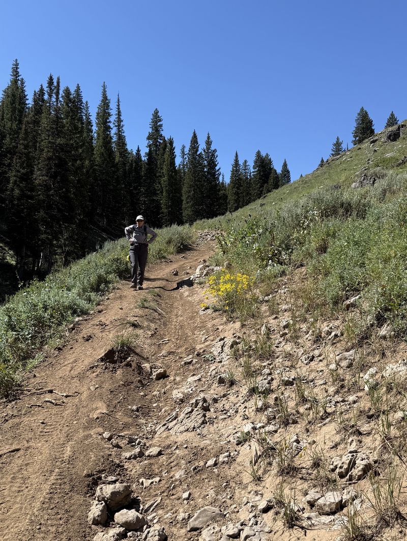
Heading down the Highline Trail toward
Gibson Basin |
||
 |
2026.jpg) |
||
| Arriving at Gibson Basin |
Looking southward across Gibson Basin |
||
 |
|||
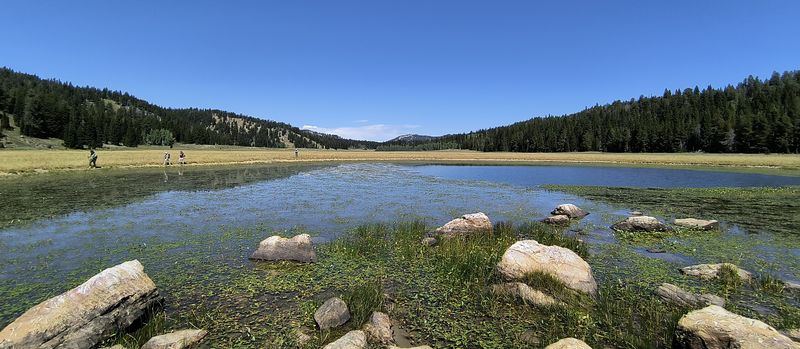
| Looking north over Gibson Basin as hikers arrive at Horse Lake | |||
 |
|||
| A shady lunch spot near Horse Lake | |||
 |
 |
||
| Gibson Basin cows |
Hiking off-trail from Gibson Basin toward Hidden Lake | ||
 |
|||
| Hidden Lake | |||
 |
|||
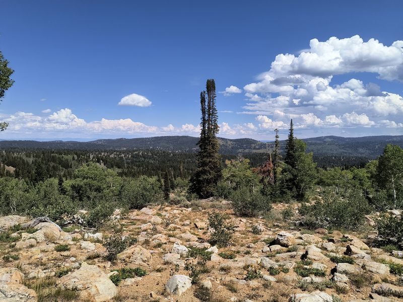
| Looking toward Gibson Basin from the ridge after leaving Hidden Lake | |||
 |
|||
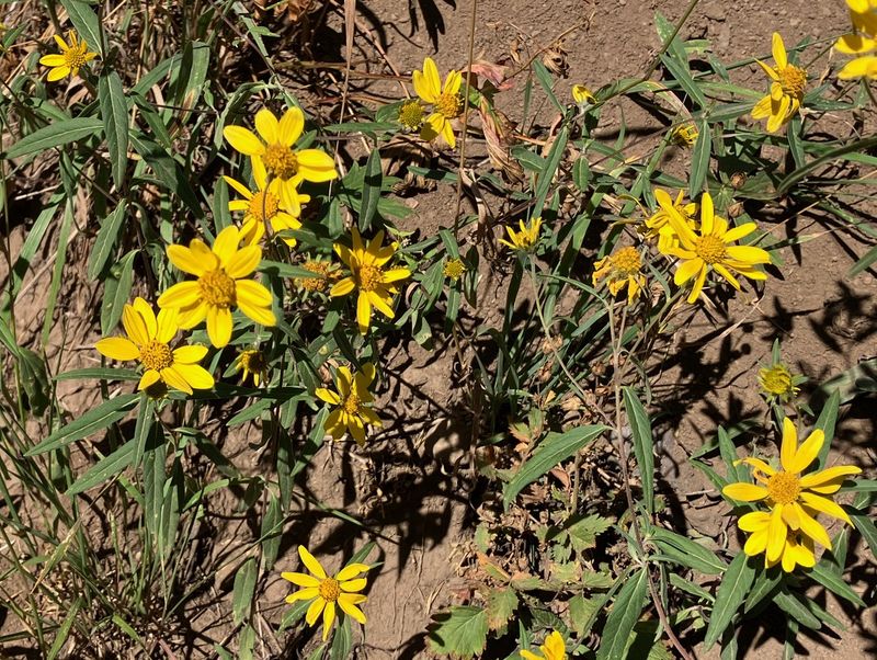
| Showy goldeneye | |||
 |
 |
||
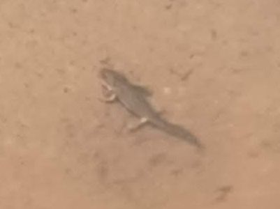
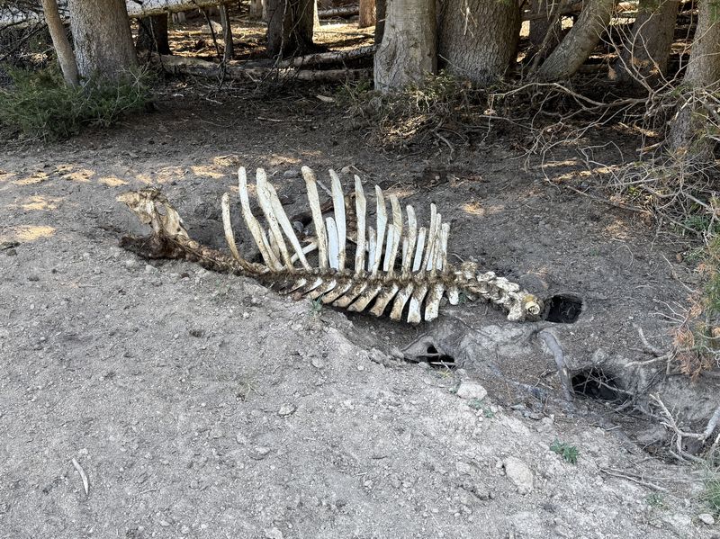
| Hidden Lake salamander | Gibson Basin cow | ||
.JPG) |
|||
|
Our GPS tracks show about 1400 feet
of ascent for the "original route" hikers (red),
the Beaver Creek hikers (blue) ascended about
1100 feet, and the Hidden Lake hikers (green)
had about 1700 feet of ascent. Each group
hiked about 8 miles. You can look at our route
using
Google
Earth or download our GPS file.
|
|||