Jardine Juniper, 5 August, 2017
Only three hikers made the trip, but we had a good day – clear skies, favorable temperatures, great vistas (Beirdineau Peak, Mt. Elmer), and wide-ranging conversations. The ephemeral stream near the beginning of the trail is still flowing strong – a sign of greater-than-normal snowpack this past winter. We encountered several other hikers and mountain bike riders along the trail. We had the Jardine juniper to ourselves as we ate lunch. To add some variety to the hike on the way back, we took an alternate trail from the Mt. Naomi Wilderness sign (on the main trail) down a hollow to the stream crossing (on the main trail) about a mile from the trailhead.
Although wildflowers were past peak bloom, we still saw Indian paintbrush, Englemann’s aster, sticky geranium, monkshood, scarlet gilia, checker mallow, fireweed, goldenrod, and Pacific aster in flower. We sampled thimbleberries on the “Shady Route” of the upper trail. Butterflies and dragonflies were active throughout the hike; however, birds were pretty quiet, with the exception of two Townsend’s solitaires.
Trip Summary:
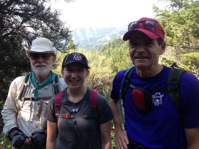
- Participants: Dave P., Lauren, and Chris (leader)
- Drove 13 miles to Jardine juniper trailhead
- Started on the trail about 8:30 am
- Lunch at the Jardine juniper, 11:30 am – noon
- Back at trailhead at 2:00 pm and Logan at 2:30 pm
- Clear skies, calm winds, mild temperatures
- 10 miles with a gain of 2000 feet
Thanks to Chris. for the narrative and photos..
|
| Three Cache Hikers |
|
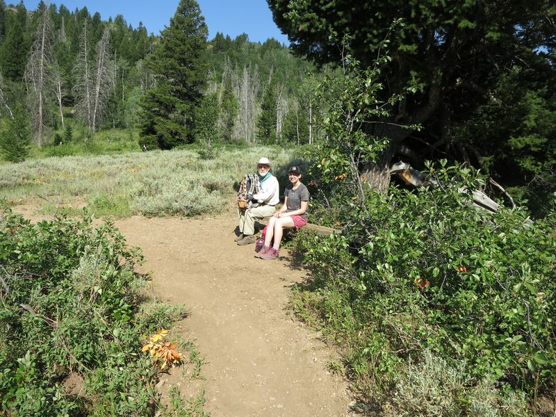
| Resting on the bench near the Wilderness Boundary |
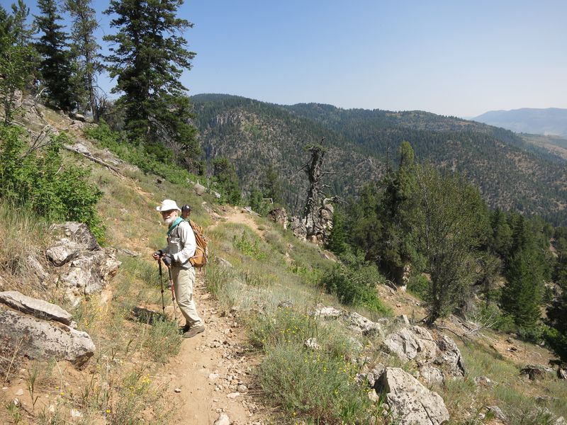 |
| Approaching the Jardine Juniper |
|
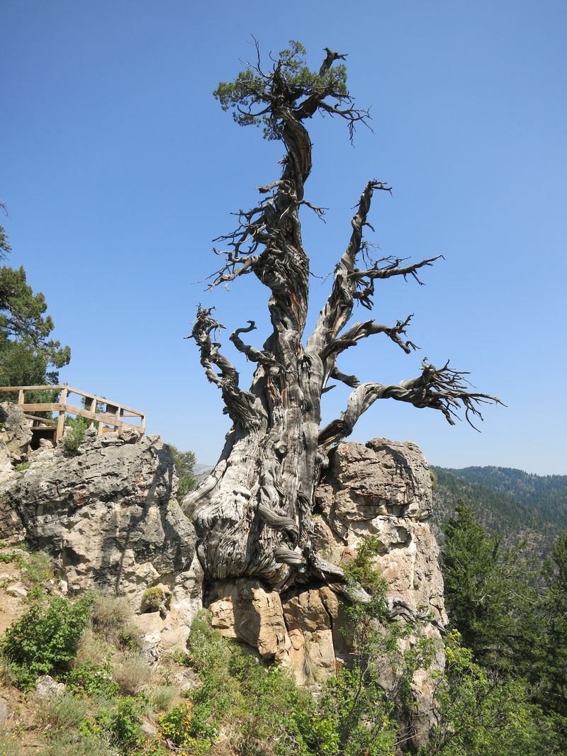
| The Jardine Juniper, 2017 |
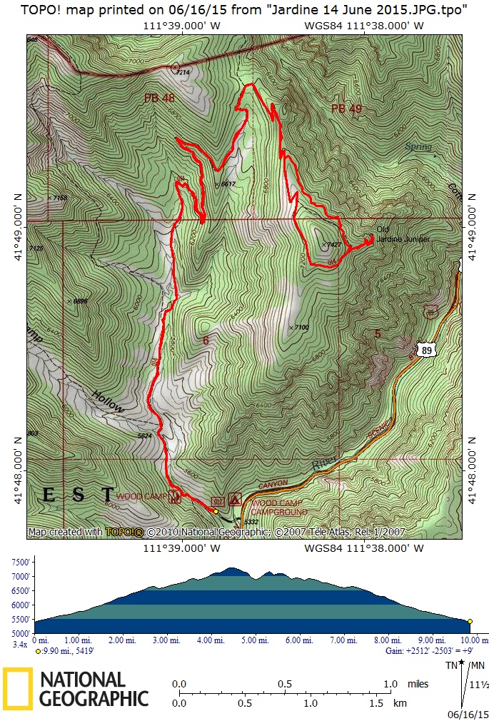 |
This GPS track from 2015 shows our route for 2017, about 10 miles and 2000 feet of ascent |
You can also look at our 2015 route using Google Earth or the various map and aerial views of Google Maps |