Home
Leatham Hollow, 28 June 2020
Sixteen Cache hikers turned out for the Leatham Hollow hike on a cool morning: David W, Jane, Dave W, Dave P, Susan, Deanna, Michelle, Laurel, Chris, Kris, Brent, Richard, Robert, Becky, Tawnya, Dan (leader) and Jasper (dog). We rode in separate cars as much as possible and arrived at Leatham Hollow in the Left Hand Fork of Blacksmith Fork Canyon about 8:45 a.m..
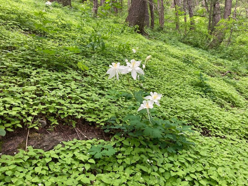
For the first 1/4 mile we walked past RV campers and crossed the small stream a few time before arriving at the start of the trail. We continued along the trail, past Leatham Hollow Spring and on to the first switchback. At the end of the switchback we followed a path to an overlook for a great view of Leatham Hollow and the Left Hand Fork. The trail then led up through deep forest with abundant enchantress' nightshade, columbine and Clarkia, an endemic plant.
We arrived at the top of Leatham Hollow about 11:45 and bushwacked to a meadow for lunch and views of the Wellsville mountains across Cache Valley. A few drops fell from the overcast sky, a warning of the possibility of rain. After lunch most went back, but four hikers, Deanna, Tawnya, Becky and Dan, continued on toward the northwest and the Big Baldy Trail.
The four walked a short way down the Millville Canyon road and easily found the trail. There were a few steep sections but it was mainly an easy grade. Ravens cawed from above as they reached the goal about 1:30, the ridge west of Big Baldy, with great views of Cache Valley. Becky and Tawnya continued out on the ridge to the west for an extra 2/3 mile while Deanna and Dan turned back and waited at the top of Millville Canyon. The four hikers joined back up about 3:00 and hurried down the trail in an unsuccessful attempt to get back before the rain began. They reached their cars about 5:00, after hiking the last mile of so in the rain. .
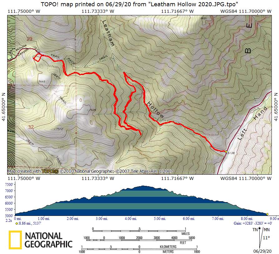
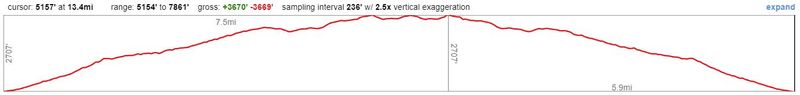
GPS tracks show most hikers went about 9 miles with 2200 feet of ascent. Becky and Tawnya went 13.5 miles with about 2900 feet of ascent, while Dan and Deanna went about 12.5 miles with 2700 feet of ascent.
Trip Summary:
- Sixteen participants: David W, Jane, Dave W, Dave P, Susan, Deanna, Michelle, Laurel, Chris, Kris, Brent, Richard, Robert, Becky, Tawnya, Dan (leader) and Jasper (dog)
- Drove 16
miles to Leatham Hollow in the Left Hand Fork of
Blacksmith Fork Canyon
- Started
hiking about 8:45, lunch at the top of Leatham Hollow
11:30 - 12:15, back at the beginning 2:30 (5:00 for
the four Big Baldy hikers).
- Overcast skies, with rain about 4:30
- 9 miles and 2200 feet of ascent for most, up to 13.5 miles with 2900 feet of ascent for the others
Thanks to Dan for the narrative and photos, Tawnya, Deanna, Dave P, Dave W and Susan for photos and Dave W and Becky for GPS data.
 |
|
| At the
trailhead, 1/4 mile from our cars |
|
 |
|
| At the
overlook |
|
 |
|
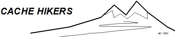
| View from the
overlook, down Leatham Hollow toward the Left Hand
Fork |
|
 |
 |
| Viewing the Wellsville Mountains
from our lunch spot |
Enjoying lunch in a field of flowers |
 |
 |
| At the top of Leatham Hollow |
The Big Baldy Trail |
 |
|
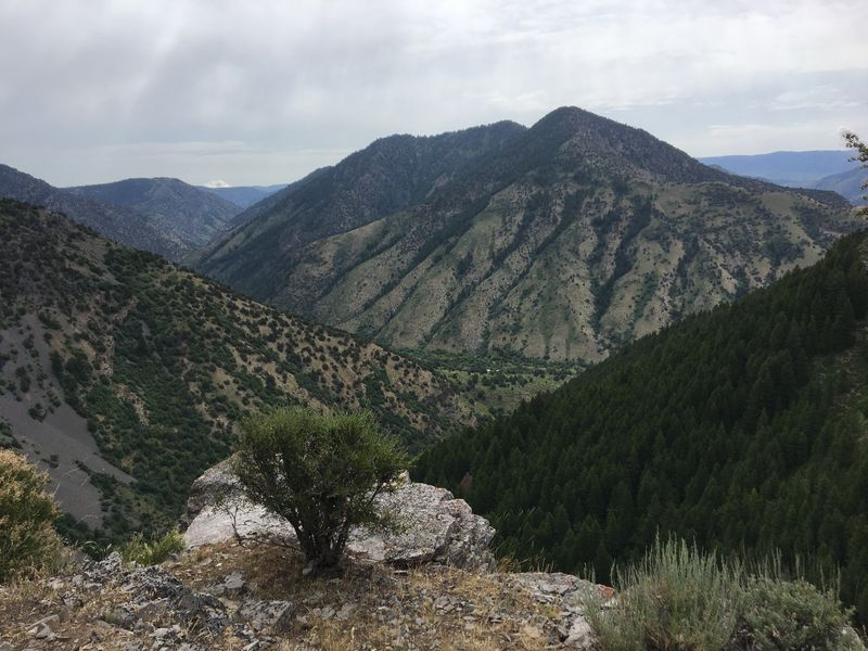
| Looking west from the Big Baldy ridge
toward Cache Valley |
|
 |
 |
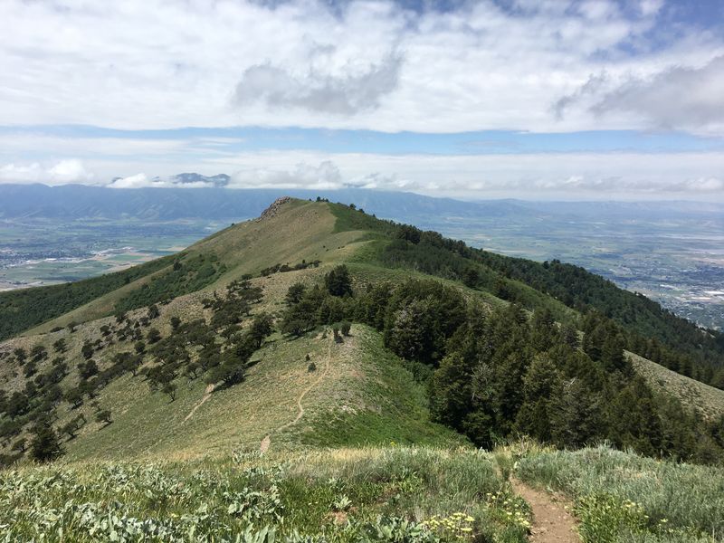
| Hiking down the Leatham Hollow
trail |
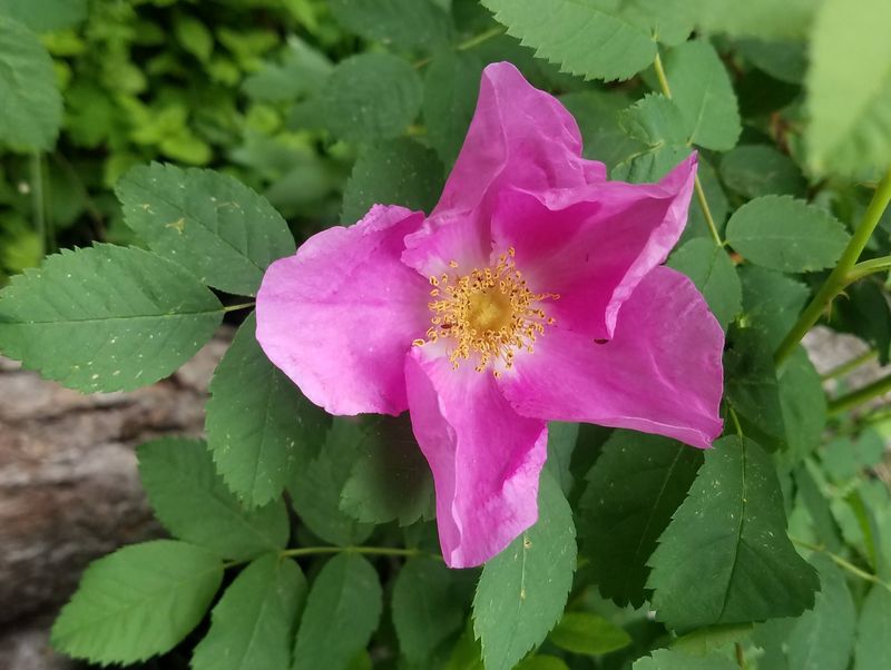
Rose |
 |
|
| Enchanter's nightshade and "blue"
columbine |
|
 |
 |
| Diamond Clarkia |
Rubber Boa |
 |
 |
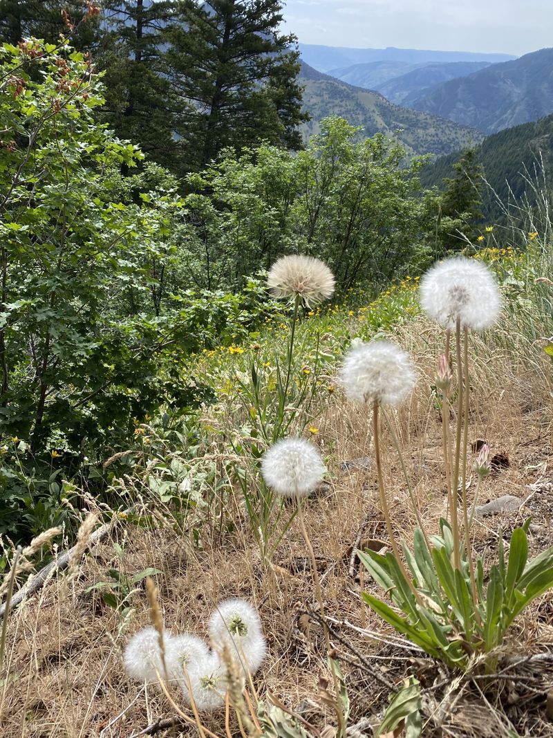
| Mountain dandelions |
Mushrooms |
 |
|
|
Our GPS track shows about 9
miles and 2200 feet of ascent and
descent.
You can look at our route using Google Earth or download our GPS file. |
|
 |
|
 |
|
| The Big Baldy
hikers traveled up to 13.5 miles with 2900 feet of
ascent |
|