Home
Leatham Hollow, 17 May, 2026
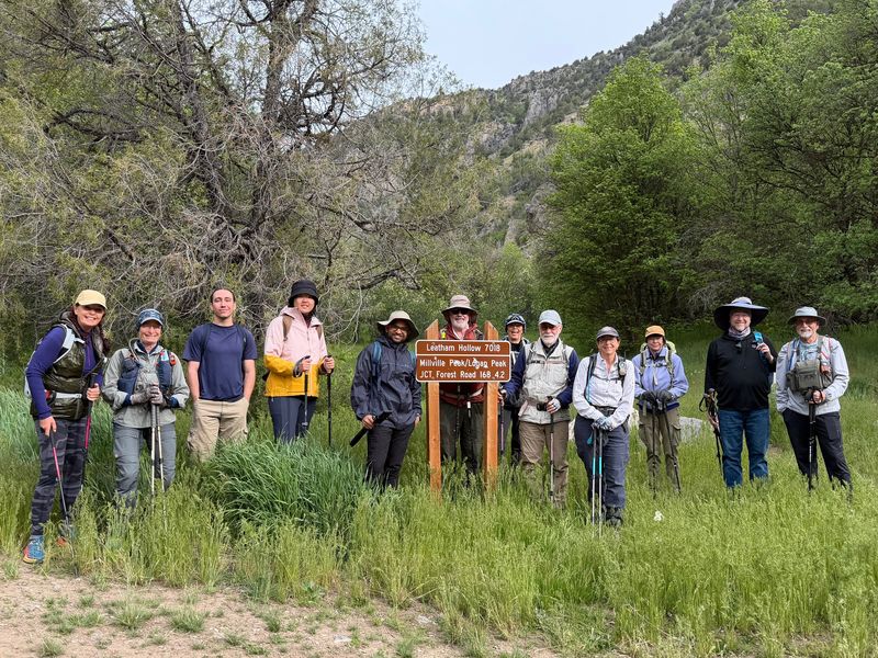
Fourteen Cache Hikers traveled to Left Hand Fork Blacksmith Fork Canyon to hike the Leatham Hollow Trail. Skies were cloudy and rain threatened but did not appear. Wildflowers were abundant and varied. Wildlife was not observed, but we "sensed" a skunk.
Trip Summary:
- Participants:
Stephanie, Susan, Ocean, Lin, Madhavan, Brent L, Jane,
Dave P, Sue, Laurel, Kamren, Ralph, Bruce, and Jacob
- Drove 16
miles to the Leatham Hollow Trailhead in Left Hand
Fork Blacksmith Fork Canyon
- Started
hiking about 8:40, viewpoint side trip about 10:20,
lunch at the summit 11:40-12:10, back at the trailhead
2:10
- Overcast
skies but no rain
- Hiked about
9 miles with 2200 feet of ascent and descent
Thanks
to Sue (and Jane) for the narrative and photos, Dave P
for photos, and Ralph for photos and GPS data.
 |
|||
| At the Leatham Hollow Trailhead | |||
2026.jpg) |
2026.jpg) |
||
| Lower Leatham Hollow is narrow with
cliffs and rocky slopes |
|||
 |
|||
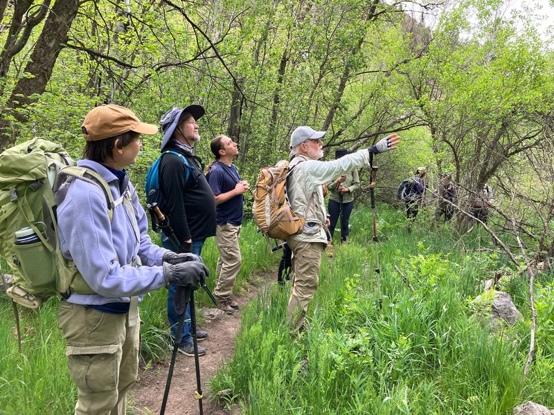
| Learning
about the area's geology |
|||
 |
|||
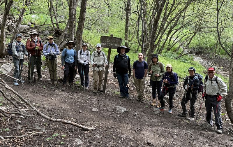
| At Leatham Hollow Spring, about 1.5 miles from the trailhead (there was no water at the spring) | |||
2026.jpg) |
 |
||
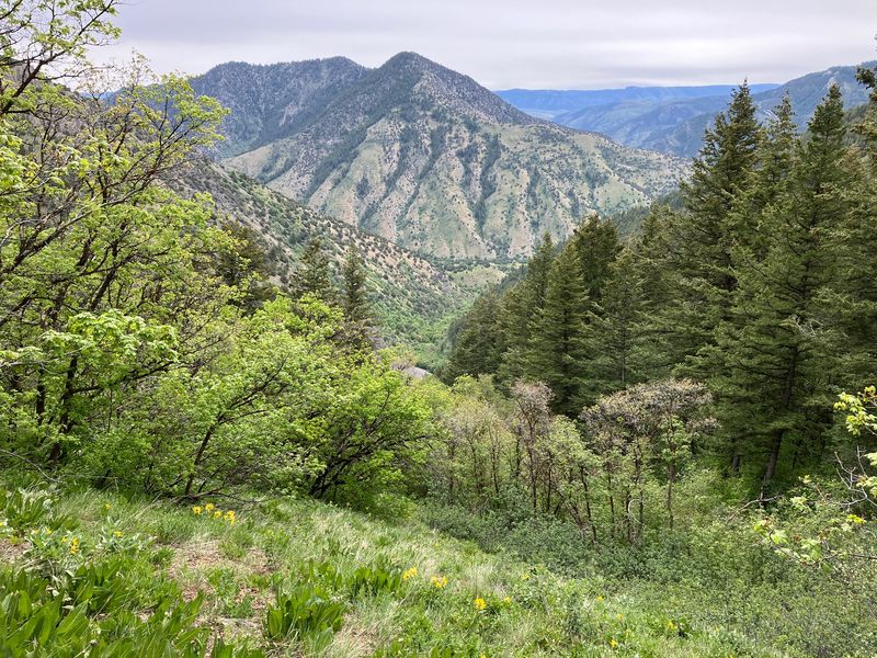
| A short side trip provided views of Leatham Hollow and beyond | |||
 |
 |
||
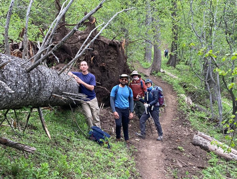
| A large tree had fallen next to
the trail |
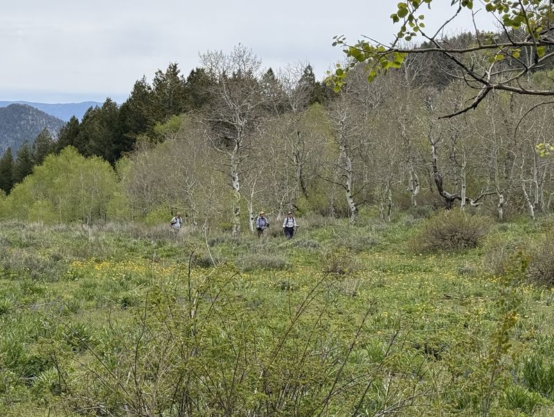
Hikers approaching the summit |
||
2026.jpg) |
|||
| At the summit, the trail met a Jeep Road after passing through a meadow (a dilapidated sign marks junction) | |||
 |
|||
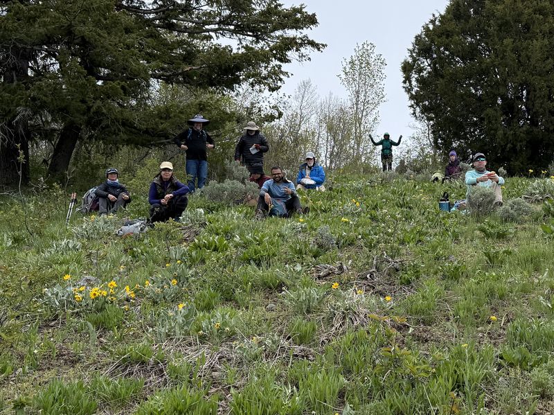
| Our lunch spot, just west of the summit | |||
 |
|||
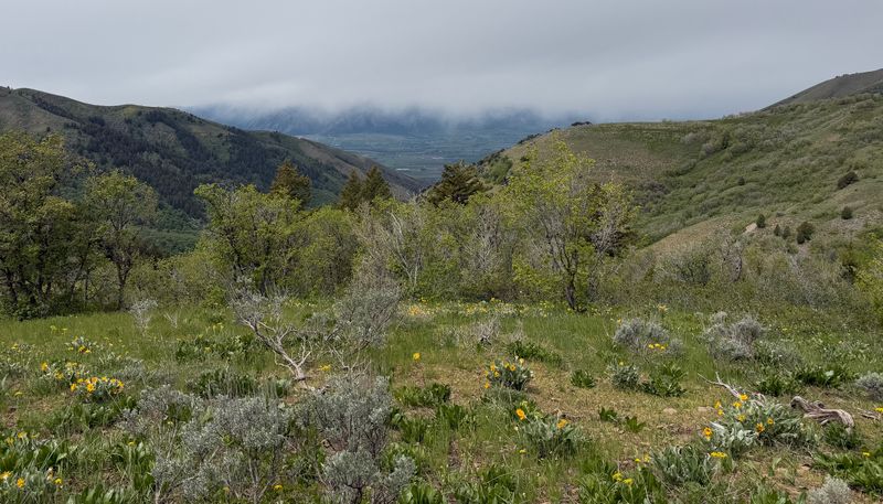
| Looking over
Cache Valley from our lunch spot (the Wellsville
Mountains were partially hidden by clouds) |
|||
 |
 |
||
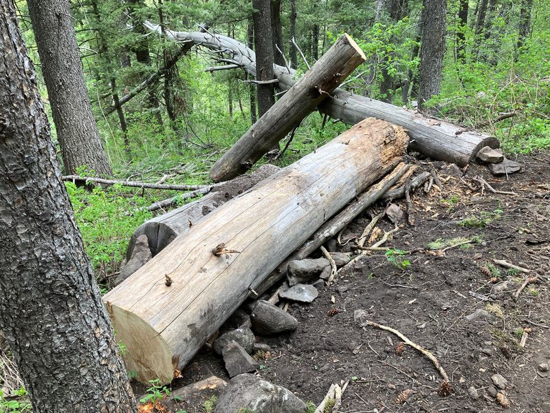
| There was evidence of recent trail
maintenance |
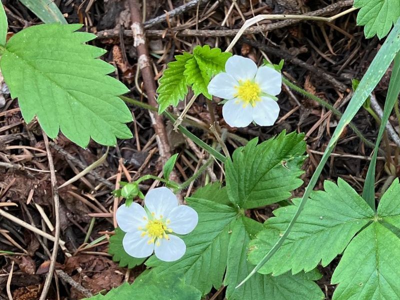
Wild strawberry |
||
 |
 |
||
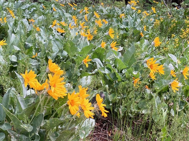
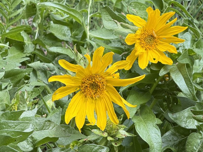
| Arrowleaf balsamroot |
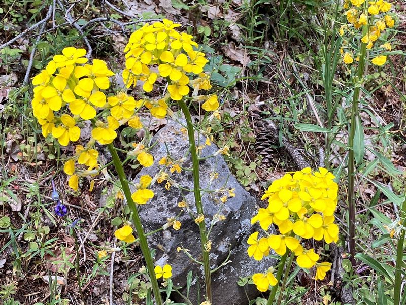
Wallflower |
||
 |
 |
||
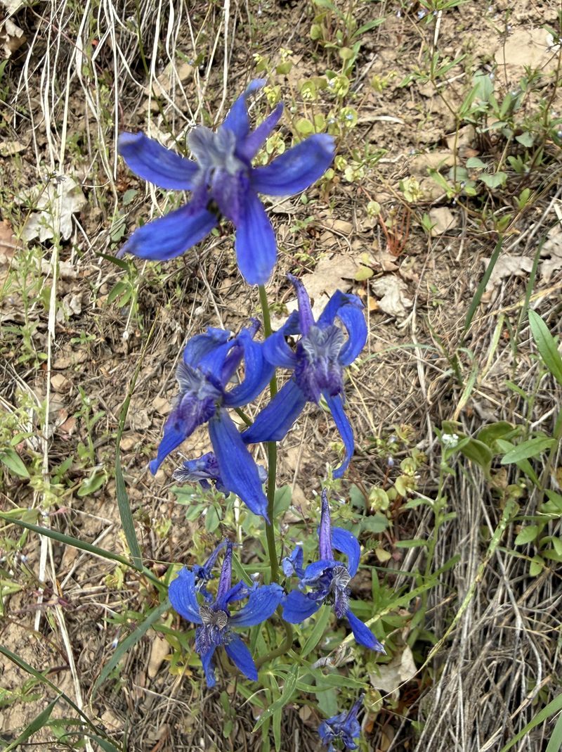
| Larkspur |
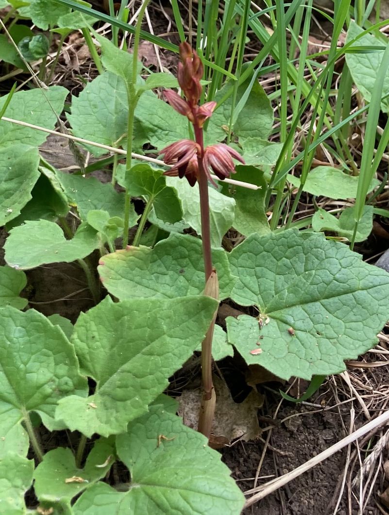
Coralroot orchid |
||
 |
 |
||
| Bigleaf balsamroot |
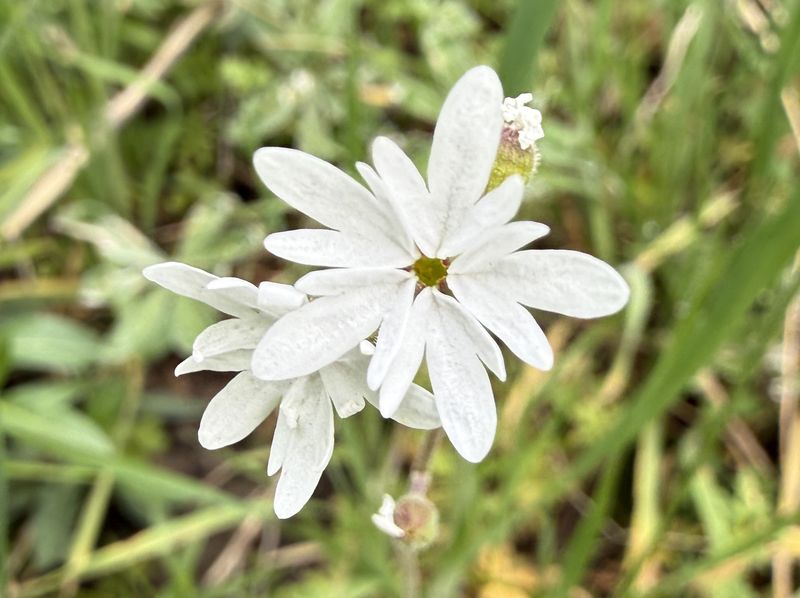
Woodland star |
||
 |
 |
||
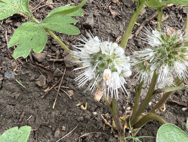
| Waterleaf |
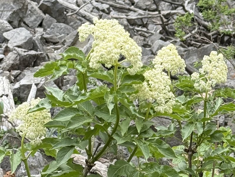
Red elderberry |
||
 |
 |
||
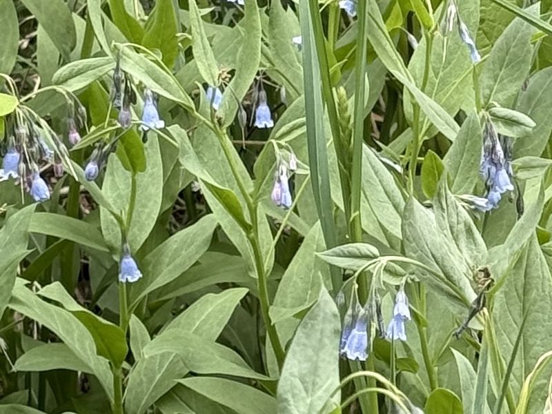
| Bluebells |
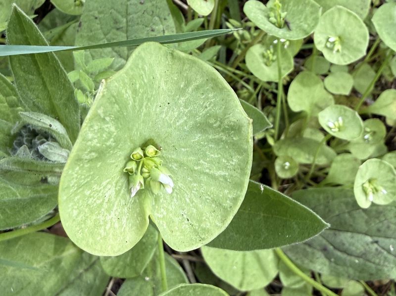
Miners lettuce |
||
2026.jpg) |
 |
||
| Lathyrus (?) |
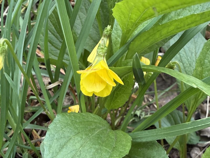
Violet |
||
 |
 |
||
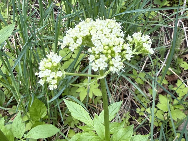
| Valerian |
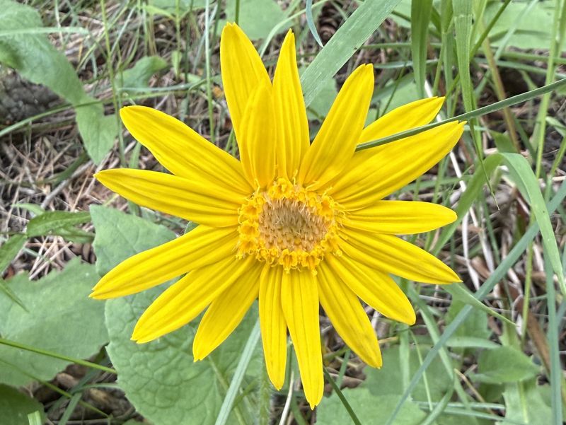
Arnica |
||
 |
 |
||
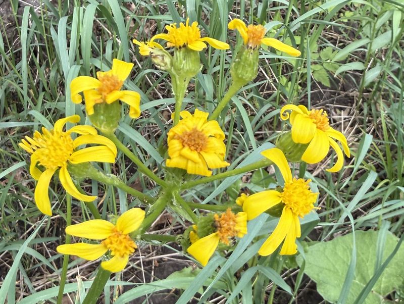
| Senecio |
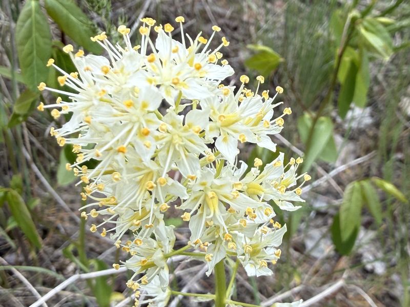
Death camas |
||
 |
 |
||
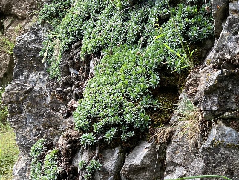
| Tufted rockmat |
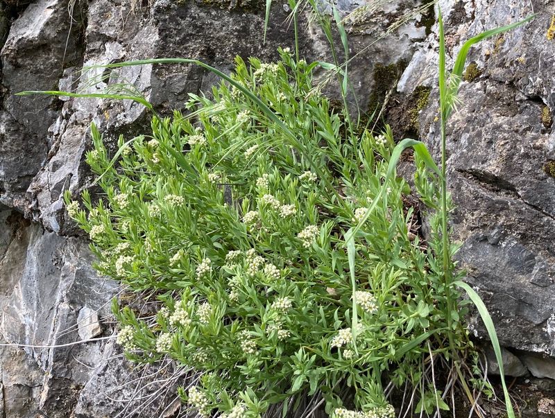
Bastard toadflax |
||
 |
|||
|
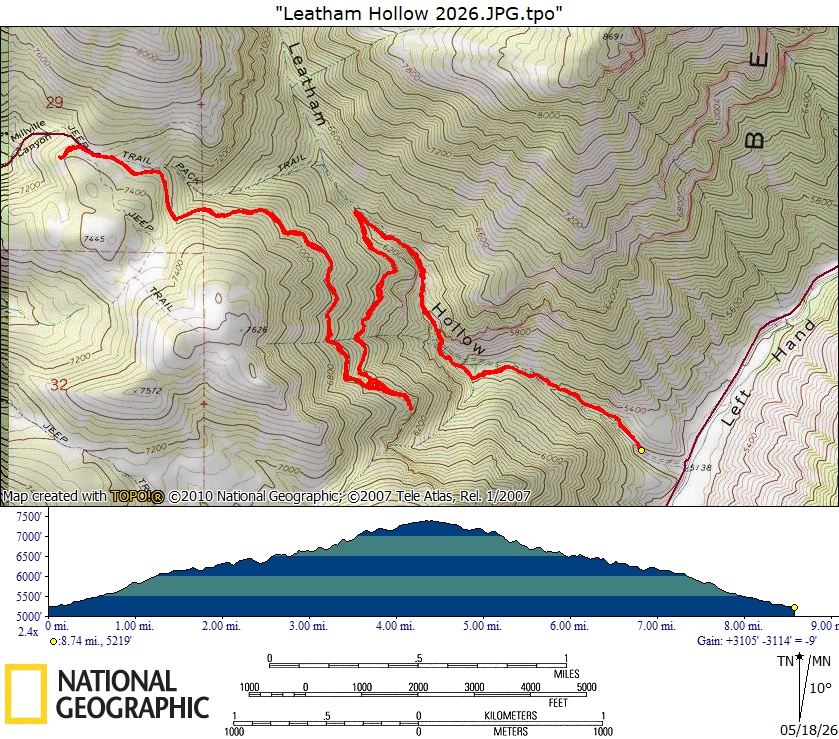
Our GPS track shows about 9 miles
and 2200 feet of ascent.
You can look at our route using Google
Earth or download our GPS file.
|
|||