
Home
Limber Pine, 28 September, 2019
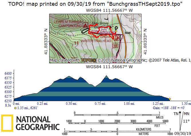
We had planned a long hike amid colorful fall foliage, from Tony Grove Lake to the Tony Grove Winter Trailhead via Bunchgrass Creek. However, a major storm arrived in Northern Utah and nobody was interested in a 12-mile slog through the rain and mud (snow was not expected until later in the day). After a short discussion in the parking lot at our usual meeting place, we decided to hike the Limber Pine Trail instead.
After arranging carpools, we drove up Logan Canyon, admiring the fall colors along the way. We arrived at the Limber Pine Trailhead about 9:00, just as the rain intensified. Fortunately everyone was prepared for wet hiking and we got underway without delay. We took note of the recently restored interpretive signs along the trail, thanks to the Yellowstone to Uintas Connection.
When we got to the famous limber pine we briefly considered heading up to a viewpoint on the ridge, but nearby thunder dissuaded us from that notion. Instead, we continued on the trail, keeping safely away from high exposed places. We were back at the trailhead at 10:00, a short hike, indeed.
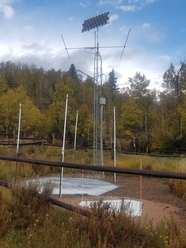
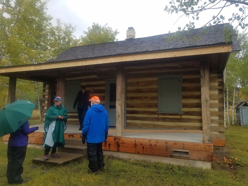
On the way down the canyon we stopped at the Tony Grove Winter Trailhead to look at the improvements to the Bunchgrass trail, since our originally planned hike would have ended there. We found a newly-built, rough-but-walkable trail, leading from the parking area to Tony Grove Creek near Lewis Turner Campground. It featured two new footbridges and several gates to keep the cows in line (cattle were still in the area although the fall roundup appeared to be getting underway). On our way back to the parking area we detoured through a meadow to see the Snotel weather station and stopped to look at the historic Tony Grove Ranger Station.
After arriving at Logan most of the hikers (and a few others) met for lunch at a favorite Mexican restaurant - a fine ending to our last scheduled hike of the season!
Trip Summary:
- Six
participants: Kathy, Dave P., Jane, Susan, Brent
and Dave W. (leader)
- Drove 33
miles to the Limber Pine Trailhead
- Hiked the
Limber Pine Trail, 9:00 to 10:00, the new trailhead
Bunchgrass trailhead 10:15 to 11:00, and back in Logan
about noon.
- Rain of varying intensity, with short rain-free periods
- Total hiking was 2.8 miles and 250 feet of ascent
Thanks to Jane for photos and Dave W. for the narrative, photos and GPS data.
 |
|
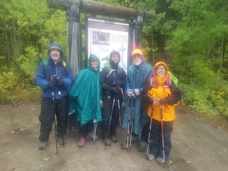
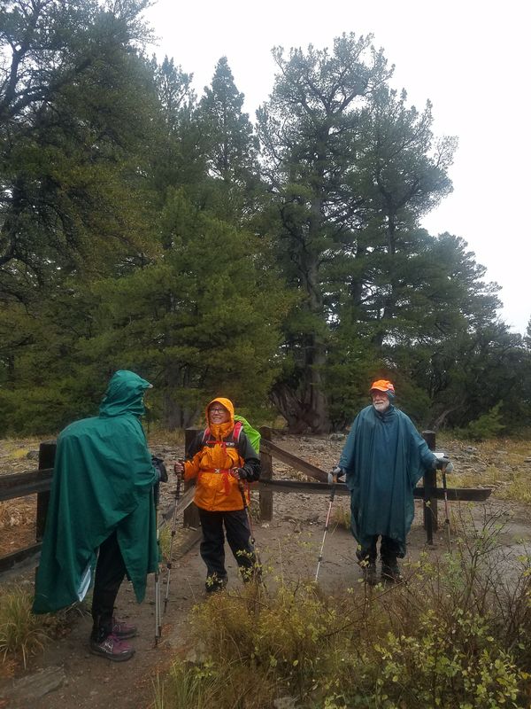
| Ready to hike
the Limber Pine Trail |
|
 |
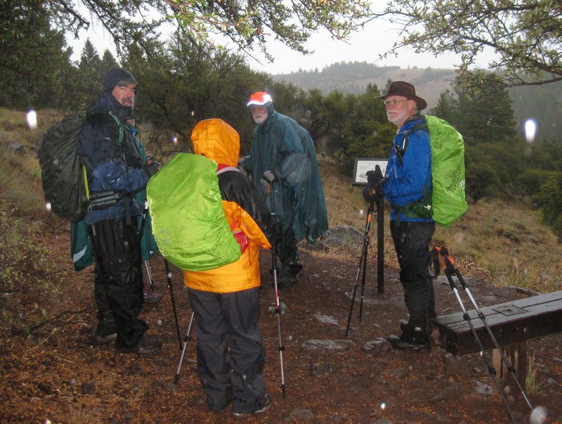 |
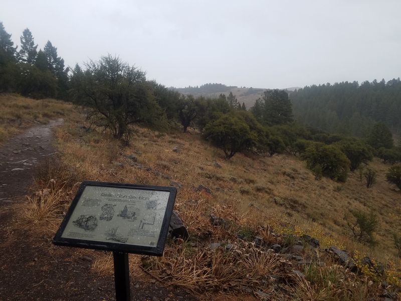
| Looking west, over Sink Hollow | A rainy stop at a trailside interpretive sign |
 |
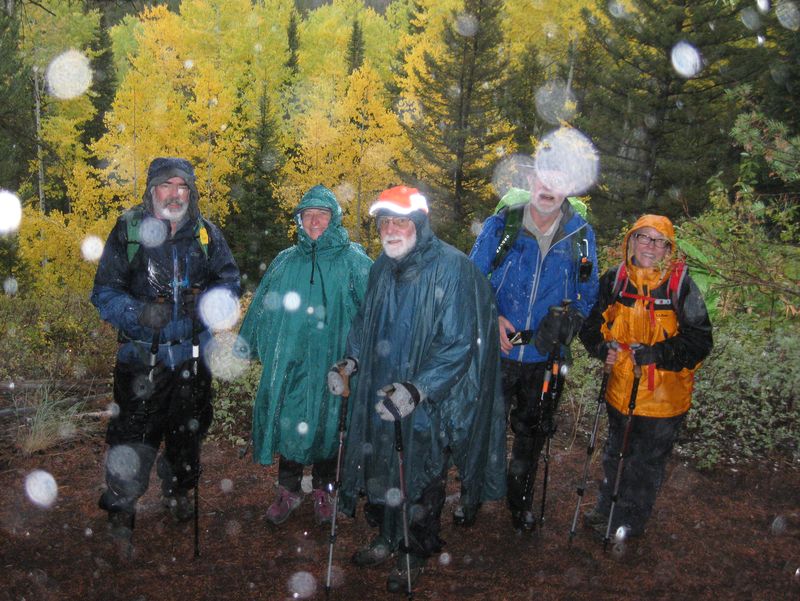 |
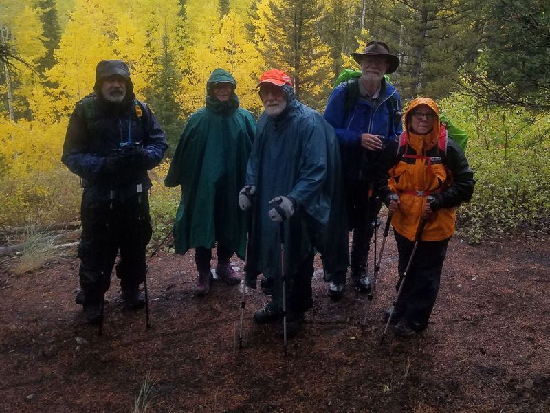
| Flash photography may improve the lighting, but raindrop reflections can get in the way (right) | |
 |
|
| The barrier is intended to keep people from disturbing the famous limber pine | |
 |
 |
| On a clear day, you can see Bear Lake (January 2014, right) | |
 |
 |
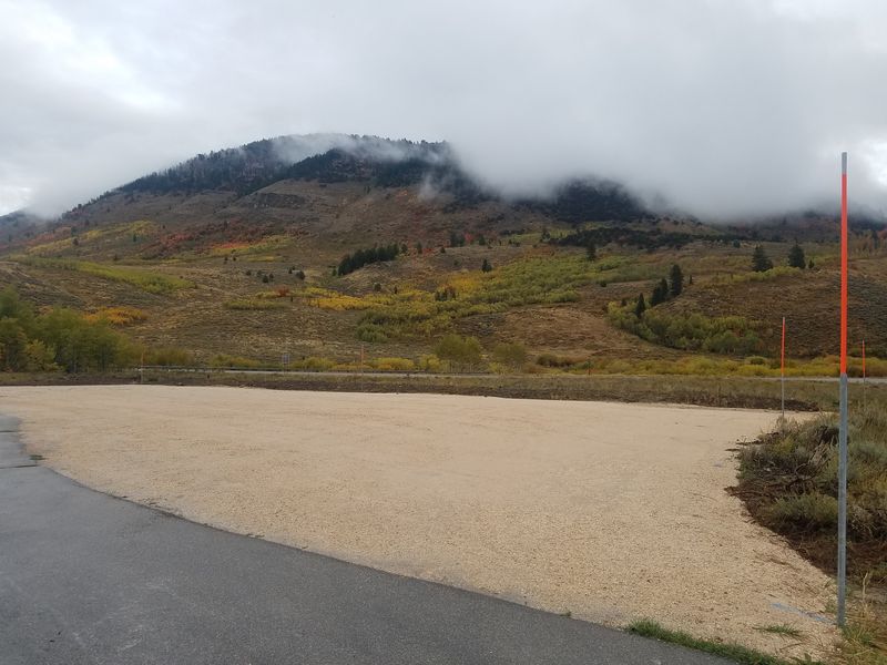
| The parking area at Tony Grove
Winter Trailhead has been enlarged |
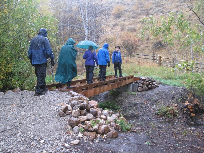
A new footbridge over Tony Grove
Creek near
Lewis Turner Campground
|
 |
|
| The Snotel weather station near Tony Grove Ranger Station (during a short rain-free period) | |
 |
|
| The historic Tony Grove Ranger Station | |
 |
|
 |
|
|
|