
Home
Little Bear Loop, 26 August, 2024
The Little Bear hike went well except for knee pain which was brought on by the steep downhill section of the Great Western Trail toward the end of the hike. The Little Bear Trail was good with no problems finding or following the route.
The hike began on the West Hodges GWT (Great Western Trail), where it zig-zags up a southwesterly-facing slope for about a mile. This trail section was moved away from West Hodges Creek in 2020 to avoid problems caused by beaver activity in West Hodges Creek.
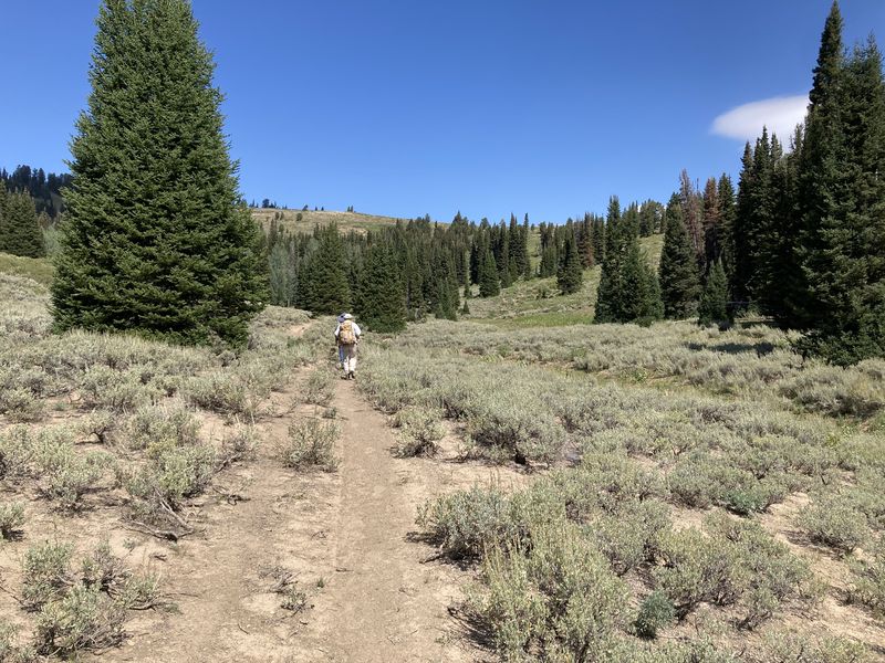
Views from the ridge were spectacular - we could see Bear Lake, Peter Sinks, and high peaks of the Bear River Range (Logan Peak, Mount Elmer, Beirdineau Peak, Mount Naomi, Mount Gog, Mount Magog, "Pika Peak" and Doubletop Mountain). There were small sinkholes along the upper Little Bear creek drainage on the way to Rex Reservoir.
This loop was longer than anticipated and challenging due to steep downhill, but could be done as Cache Hikers trip to Rex Reservoir and back, but that would eliminate some of the best views from the ridge.
Trip Summary:
- Four Cache
Hikers participated in an exploratory trip: Dave
P, Kamren, Ralph and Dan (leader)
- Drove up Logan Canyon to the West Hodges Trailhead near the old Forestry Camp
- Most of the
hike followed ATV-legal "motorized" trails
- On the trail about 9:00, lunch overlooking Peter Sinks about 1:30, and back at the trailhead about 5:00
- Clear skies and pleasant weather
- Hiked about 13 miles with about 2600 feet of ascent
Thanks
to Dan for the comments, photos and GPS data, and
Ralph and Dave P for photos.
 |
|||
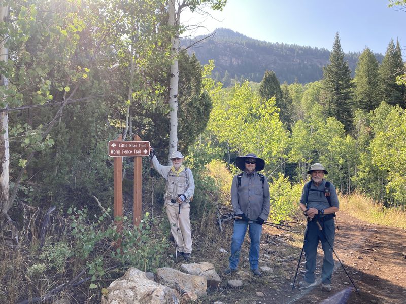
| The lower Little Bear Trail was in good condition | |||
 |
 |
||
| Our route went
up the Little Bear Trail and returned via the
Turkey Trail |
|||
 |
 |
||
 |
 |
||
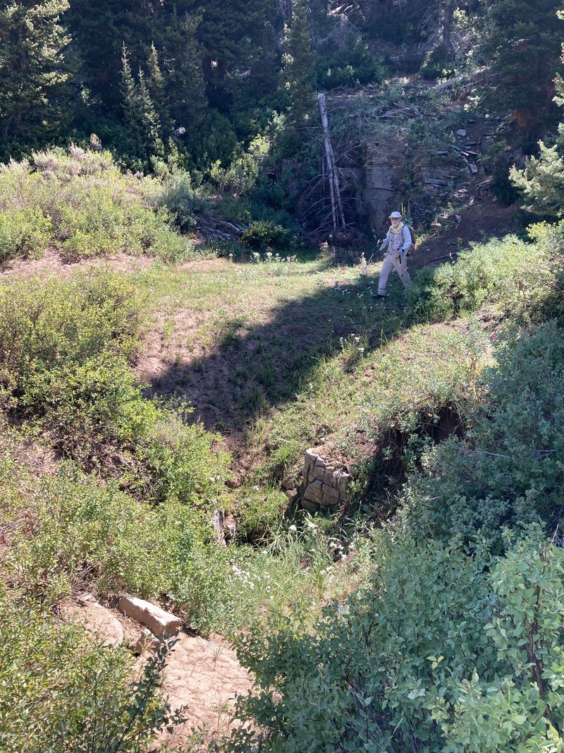
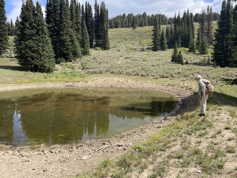
| There were several sinkholes along the Rex Reservoir-Little Bear Trail | |||
 |
 |
||
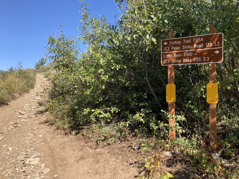
| Hiking along the (non-motorized) Rex Reservoir-Little Bear Trail | Rex Reservoir | ||
 |
 |
||
| Mount Elmer |
Bear Lake |
||
 |
 |
||
| Peter Sinks |
Aspen (apparently crushed by
snowmobiles) |
||
 |
|||
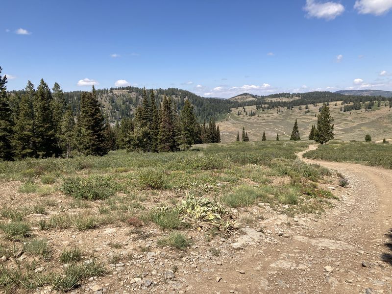
| Views from the
ridge |
|||
 |
|||
| Walking on the
Peter Sinks Road |
|||
 |
|||
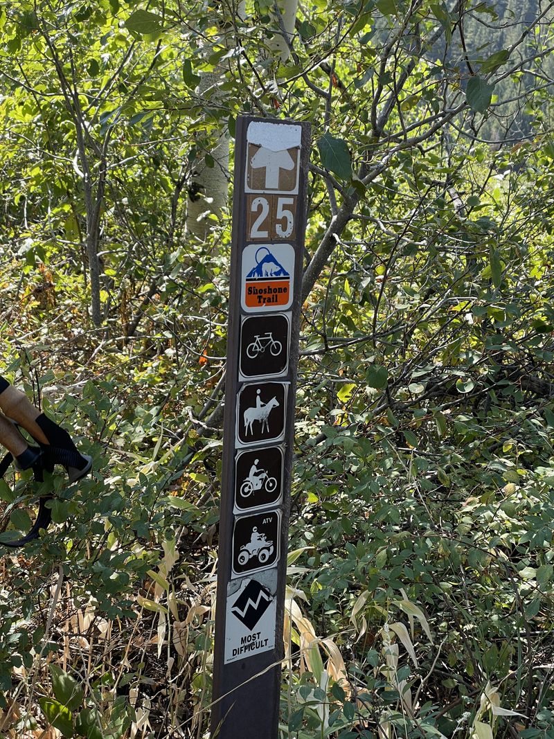
| The Turkey
Trail is an unpleasant walk (hence the knee
issues), but with a "most difficult" rating, it
also must be a challenge for ATV riders |
|||
 |
|||
|
Our GPS track shows about 13 miles
and 2600 feet of ascent.
You can look at our route using Google
Earth or download our GPS
file.
|
|||