Logan Canyon to Green Canyon, 21 May 2017
Trip Summary:
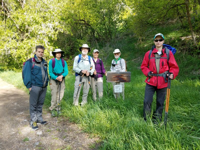
- Seven participants: Jane, Dave W., Dave P., Laurel, Travis, Nikolai and Stephanie (trip leader)
- Drove 6 miles to the upper gate in Green Canyon to drop off a shuttle car, then 9 miles to the Wind Cave Trailhead
- Started on the Wind Cave Trail about 9:00, then took the Wind Cave Way Trail after a mile
- Lunch on the ridge, about 11:00 - 11:30
- Back to our shuttle car at the end of the hike about 2:00 and Logan about 3:00
- Partly cloudy skies, calm winds and comfortable temperatures
- About 6.5 miles and 2400 feet of ascent
Thanks to Stephanie and Jane for photos and Dave W. for photos and GPS work
Editor's note: This hike involved a couple of unfortunately named trail features - the Wind Cave Way Trail, which does not go to Wind Cave, and the Preston Valley Trailhead, which is far from Preston Valley. We started on the Wind Cave Trail, branched off on the Wind Cave Way Trail and up to the ridge between Logan Canyon and Green Canyon, followed the Beirdneau Trail down to the Preston Valley Trailhead, then walked down the Green Canyon road to our car.
|
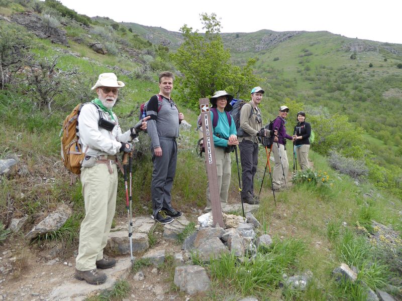 |
| The start of our hike, at the Wind Cave Trailhead | We split off on the "Wind Cave Way" Trail after a mile |
|
 |
| A good view of the Wind Cave in the distance | Logan Peak view, from the Wind Cave Way trail |
|
|
|
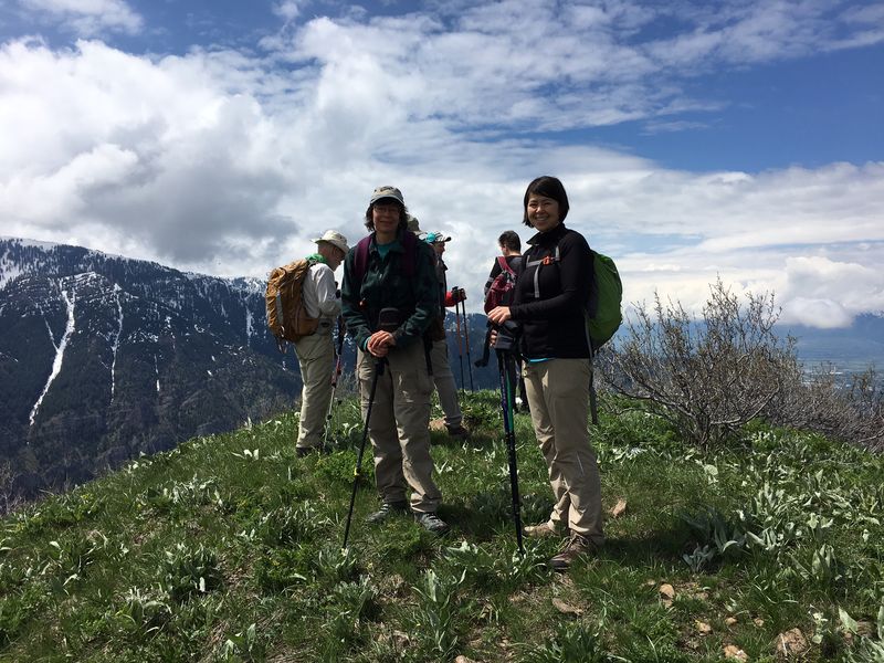
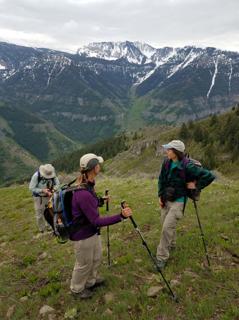
| Enjoying the view from a high point on the ridge | |
 |
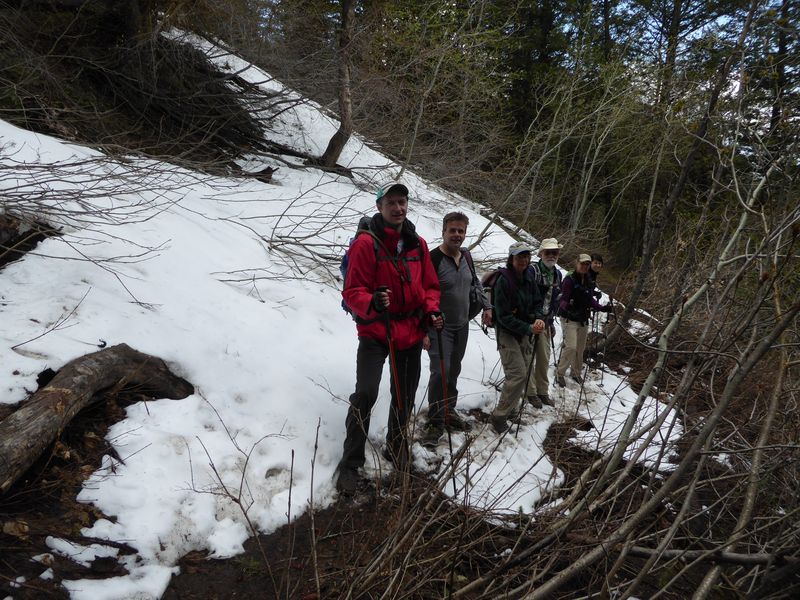 |
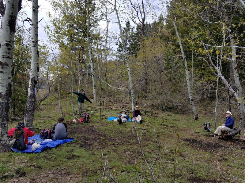
| Our lunch spot, on the ridge between Logan Canyon and Green Canyon | A snow patch on the way down the Beirdneau Trail |
|
|
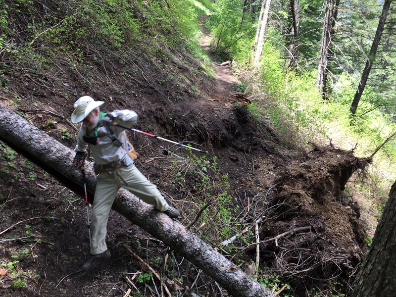
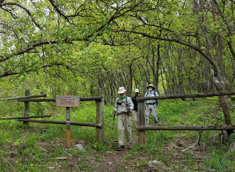
| Trail damage and a downed tree on the Beirdneau Trail | The Preston Valley Trailhead, near the end of our hike |
 |
 |
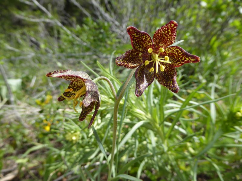
Leopard lily |
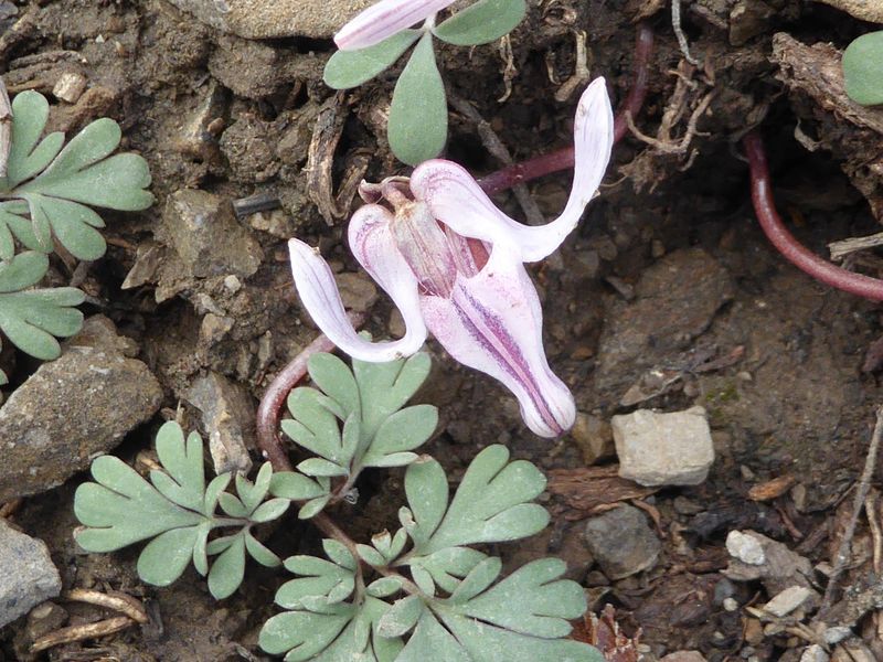
Steershead bleeding heart |
 |
 |
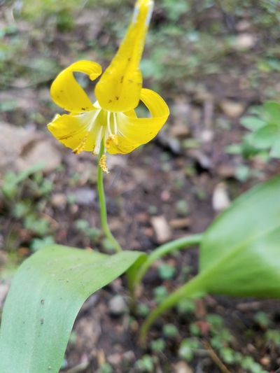
Glacier lily |
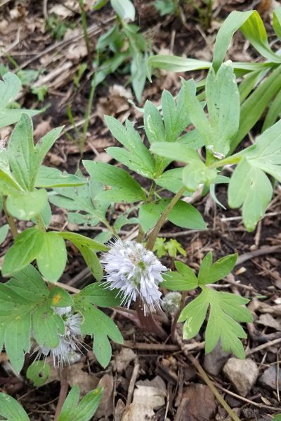
Mitrewort |
 |
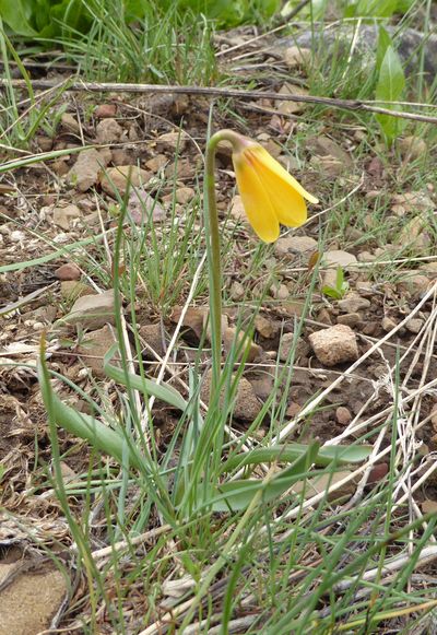 |
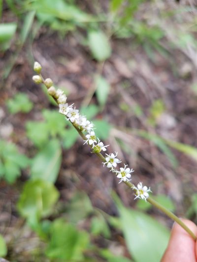
| Waterleaf | Yellow Fritillary |
.jpg) |
|
| Our GPS track shows 6.5 miles and 2400 feet of ascent | |
You can look at our route using: Google Earth, the various map and aerial views of Google Maps or download our GPS file. |
|
2017.jpg)