
Home
Maple Creek, 16 August, 2026
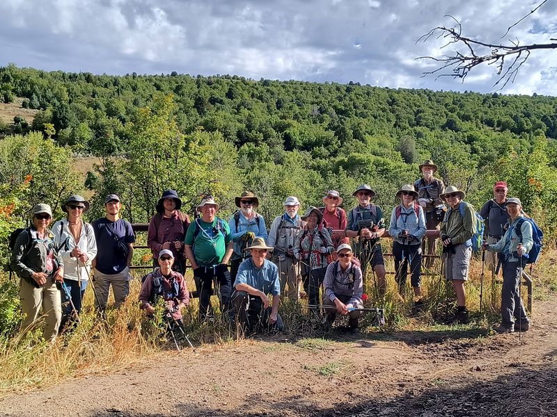
19 Cache Hikers gathered to hike Maple Creek above Franklin, Idaho. At the gathering spot, we divided into groups and arranged the carpools accordingly. One group aimed for the spring where Maple Creek originates, while and the others planned to climb higher up the main trail for views and more rugged terrain.
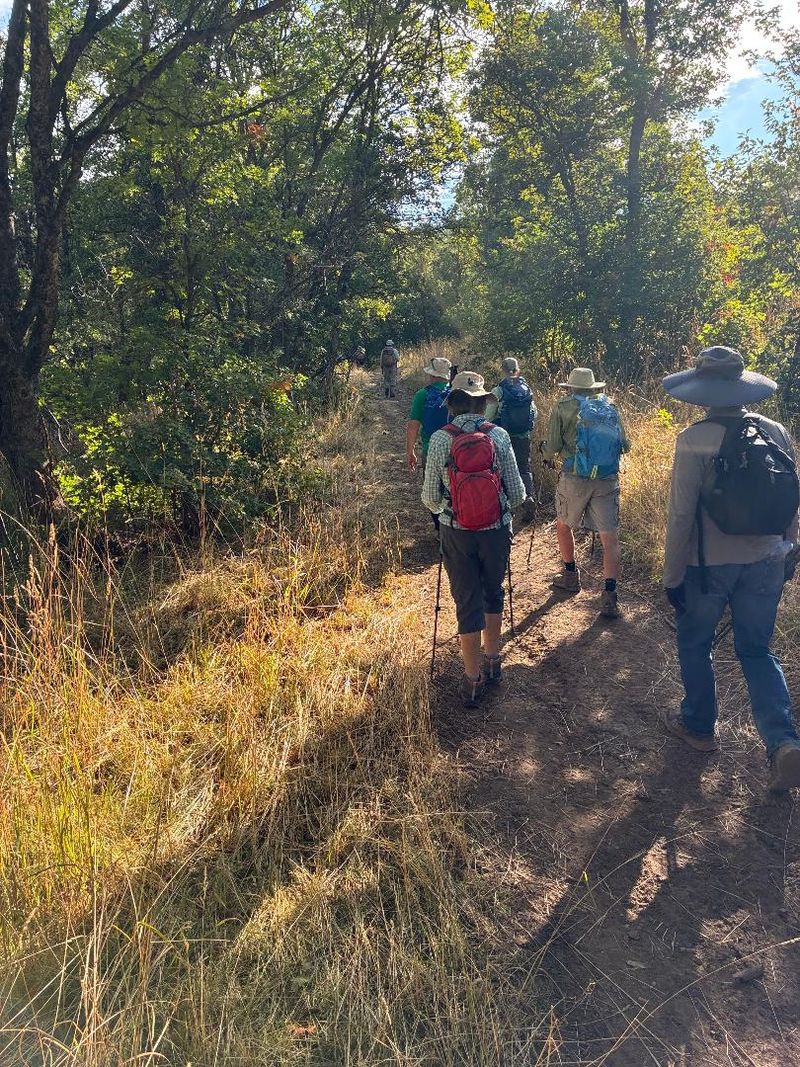
The drive to the trailhead was made in 5 vehicles. The drive was a success. The upper part of the road is soft and vulnerable to moisture. There were deeper ruts than when the group last visited Maple Creek three months earlier, but there was nothing pervasive enough to interfere with our trip.
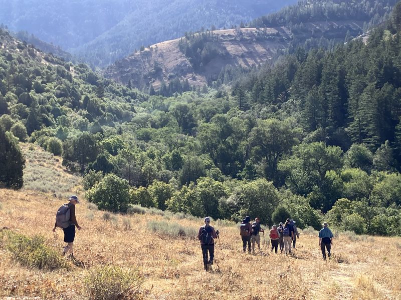
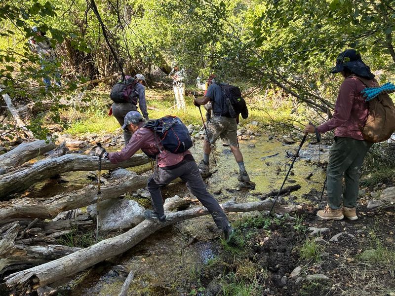
Hiking began at 9 am. Ten hikers took a scenic detour from the main trail after ½ mile to explore a separate version of the trail. While the current main trail remains south of the creek, an older version crosses a bridge over Maple Creek and ascends the Maple Sugar Trail to the north. This provided great views of the valley and an initial overview of the canyon, but those hikers risked wet feet on the return to the Maple Creek Trail. Fortunately, they eagerly availed themselves of an easy crossing as soon as one appeared. The main trail in its current version, though currently restricted for motorized travel beyond the bridge 0.5 miles in, follows the old road and is still shown on Google Maps up to the first main creek crossing at 1.7 miles. Between 0.5 and 1.7 miles in, the trail varies between solid, regular trail, eroded overflow creek bed, and extra tracks used to avoid the lower eroded and often wet areas.
The first main crossing at 1.7 miles is the beginning of one of the major highlights of the hike, which continues on nearly to the area of the spring—a trail that crosses, parallels, and even runs through the delicate and beautifully tinged pools and terraces of Maple Creek. Hiking this requires planning for suitable footwear and expectations of knee-high wading. Some of this can be avoided with simpler and shallower crossings below (off trail) and above (on an alternate path), but the greatest beauty is at creek level. After emerging from the creek, we passed through a broad meadow and stands mostly of conifers to an open and shady bank of the creek located just below the spring. Here some began eating and resting while others worked their way up through the headwaters of the creek, which were packed with blooming monkey flowers.
After lunch at this location, the long and short groups split up. The spring-only hikers started down and planned to use the alternate crossings and trails for variety and greater ease of navigation. Though the trail ascending through the creek is easy to follow, it is harder to recognize and follow the right channel when going downstream. Some enjoyed the last long crossing where the creek is pooled up while others found an easier option a bit lower.
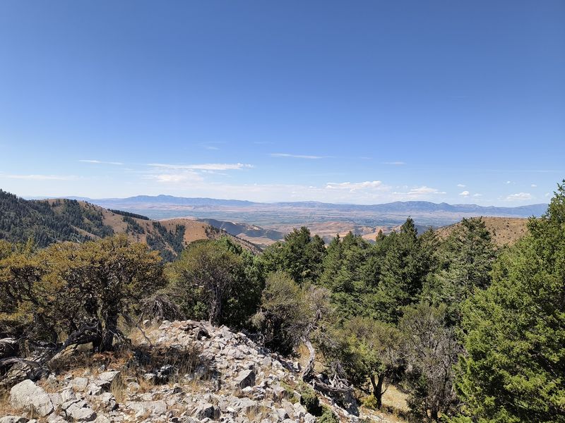
Those continuing their ascent crossed the creek near the spring and found a path to the main upward trail, which leads to the ridge and ultimately to the Franklin Basin Road. This "official" Forest Service trail is not maintained was hard to follow. Eventually it became clear and remained so until growth and cattle paths create and force a number of options. At this point, the hikers branched off onto a user or cow path that leads to the saddle between the high north-south ridge of the Bear River Range and the mountain that separates the left and main forks of Maple Creek. We ascended the rocky open slope to the 7498-foot summit to the west and enjoyed clear views of all sides of the canyon that just cannot be observed from below. After the summit, they followd an unmapped trail led from the saddle into the left fork of Maple Creek. This route was clearer and better than the official trail and showed signs of maintenance. The trail passed through lush coniferous forest until it reached the floor of the left fork. This area was hotter and drier, but not unpleasant. It met the main canyon right at the point of the wide pooled crossing, 1.7 miles from the trailhead. We used an alternate lower crossing that is available in the drier part of the season. Nearing the bottom of our hike, we attempted the old trail again to get the crossing in the right place and returned to the car at 4:15. We returned to the gathering place in Logan at 5:00.
Trip Summary:
- Hikers: Kamren (group leader), Richard, Brent L., Susan, Teresa, Nancy, Jim, Ralph, Kathy, Dave P., Dave W., Brent J, Ocean, Lin, Jane, Dan, Bruce, Sue, Christine
- Drove 26 miles to the Maple Creek trailhead east of Franklin, Idaho
- Started hiking at 9 am, lunch and exploration of the spring 11:30 -12 noon, groups split at noon
- "Spring"
hikers returned to the trailhead about 1:20, and
Logan about 2:00
- "Long" hikers reached a summit dividing the forks of the canyon at 1:20, back on main trail 3:15, trailhead 4:15, and Logan 5:00
- Sunny and reasonably hot but cooled by the creek, shade, and breeze
- Spring group hiked about 5 miles with 800 ft. of ascent and descent
- Long group hiked about 7.7 miles with 2000 ft of ascent and descent
Thanks
to Kamren for the narrative, photos and GPS data, Lin,
Jane, Dave W, and Richard for photos, and Ralph and
Teresa for photos and GPS data
 |
|||
| Hikers at the
trailhead |
|||
 |
2026.jpg) |
||
| The hike began
as an ATV trail, with occasional wet spots |
|||
 |
|||
| A half-mile
from the trailhead, 10 hikers detoured over the
creek, up for a "scenic" view, then back down to
the creek |
|||
 |
2026.jpg) |
||
| "Scenic" hikers crossing the creek to
rejoin the trail |
Much of the trail had good tread and
shade |
||
2026.jpg) |
|||
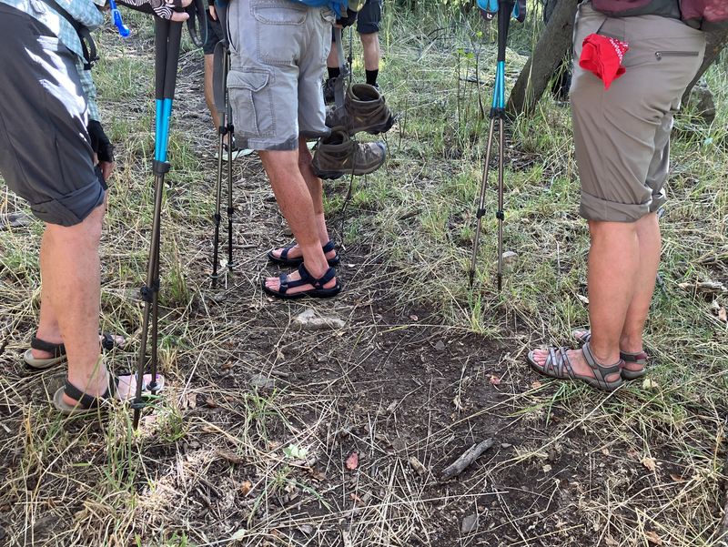
| A large ford at mile 1.7 compelled hikers to make footwear adjustments | |||
2026.jpg) |
|||
| Fording Maple
Creek |
|||
 |
2026.jpg) |
||
| Wet up to the knees |
Another large ford at mile 2.0 |
||
2026.jpg) |
|||
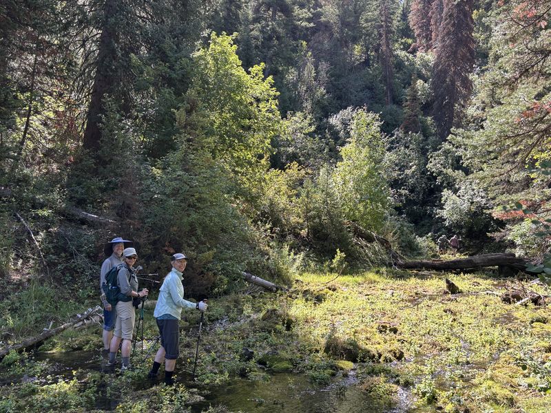
| Mossy terraces upstream from the second ford | |||
 |
|||
| The
main destination for the hike, a large spring with
moss and monkey flowers at mile 2.5 |
|||
2026.jpg) |
|||
| Yellow monkey
flowers growing in the water of the spring |
|||
 |
|||
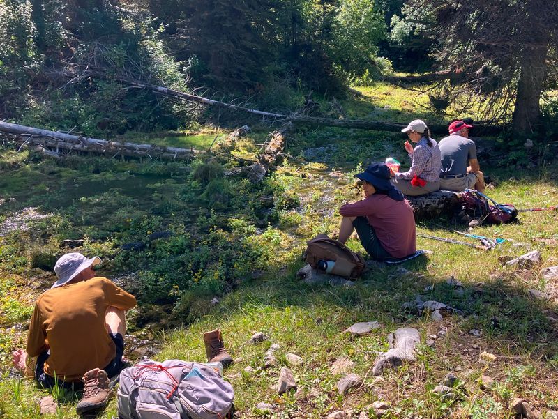
| Lunch near the spring | |||
 |
 |
||
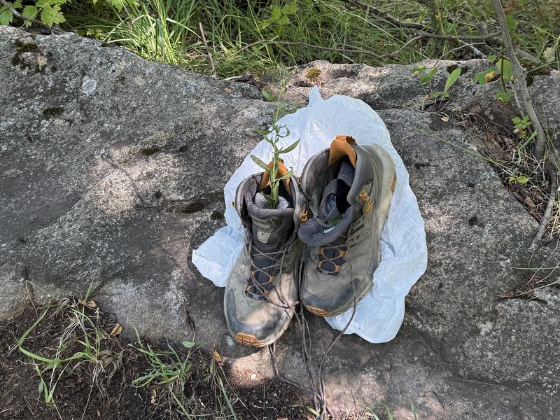
| Boots left at the first ford
were retrieved |
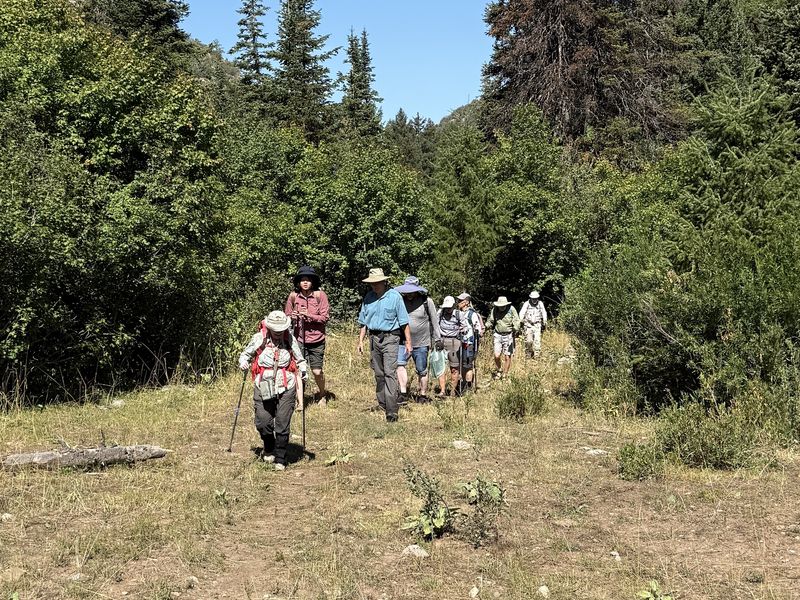
"Spring" hikers heading back down the
trail |
||
 |
|||
| Cache Valley
view, from the top of "summit 7498" |
|||
 |
2026.jpg) |
||
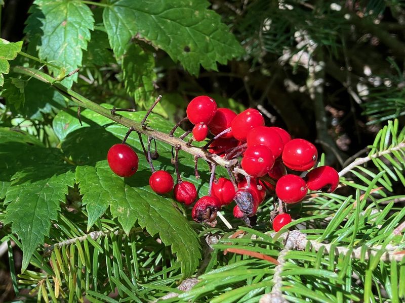
| Baneberry |
Yellow monkey flower |
||
 |
|||
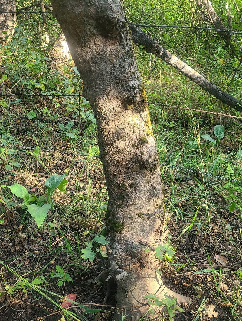
| Fence wires
pass through trees along the lower portion of the
trail |
|||
.JPG) |
|||
|
Our GPS track (red) shows about 5
miles with about 800 feet of ascent.
"Scenic" hikers (blue) went about 5.5 miles with
900 feet of ascent, and "long" hikers (green)
went about 7.7 miles with 2000 feet of ascent.
You can look at our route using Google
Earth or download our GPS
file.
|
|||