Home
Maple-Sugar Connector Trail, 3 May, 2026
Gathering with plans to hike from Maple Creek to Indian Flat, over the ridge, and down Crooked Creek, 12 Cache Hikers opted to hike in the other direction for more actively blooming flowers, a drier trail, and no shuttle. The day’s group included Kamren (group leader), Ralph, Deb, Catherine, Brent J., Dave P., Dave W., Dan, Christel, Susan, Jane, and Teresa. It was a perfect spring day with warm temperatures and no noticeable wind. The trail was new for all but the group leader and an enjoyable beginning hike to the summer season.
After introductions, plan adjustments, and carpool organization, we set out with four vehicles for Franklin, Idaho, and headed northeast up the canyon from there. The road was paved up to the Crooked Creek trailhead and dirt for the last 2.5 miles.
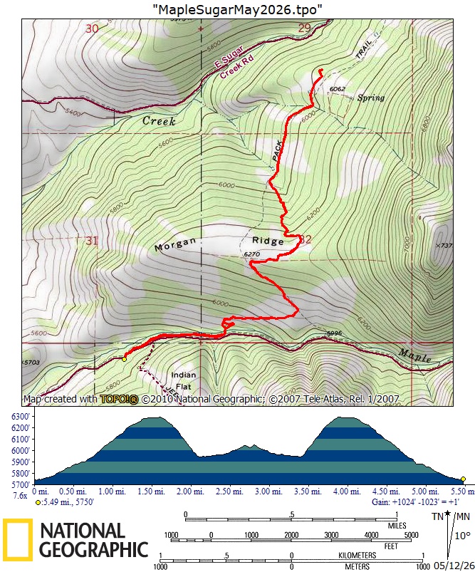
The hike began at 9 am. The initial trail, an old jeep road, was in good shape with some large puddles from recent rain and wet areas from heavier early flow from the springs. We followed this trail for half a mile until we reached a bridge where the Maple-Sugar trail branches off to the north. This zigzagged up the slope until it passed into the Sugar Creek drainage. At this point, one of our hikers, who had intended only a shorter hike, paused and returned. We continued across the open slope with maple patches, wetter areas, and great views of the Cub River area. We stopped for lunch and to turn around at the upper of two Sugar Creek trails.
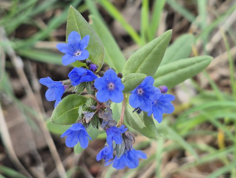
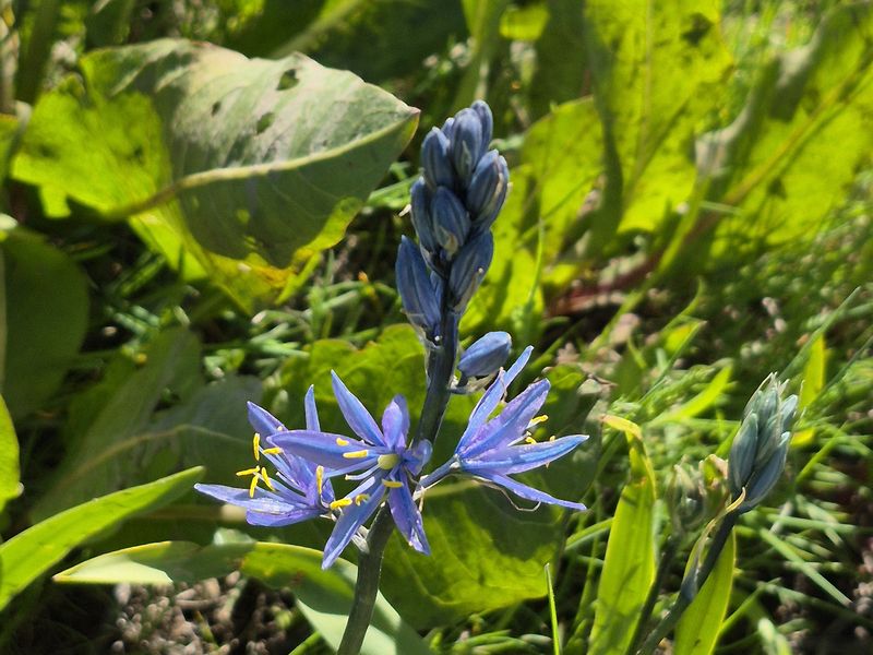
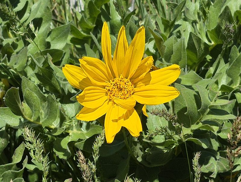
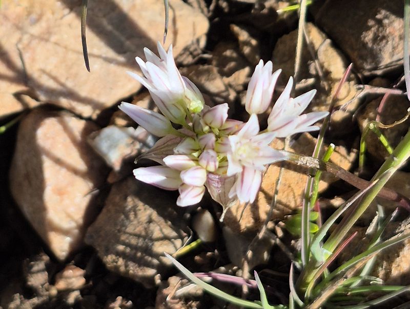
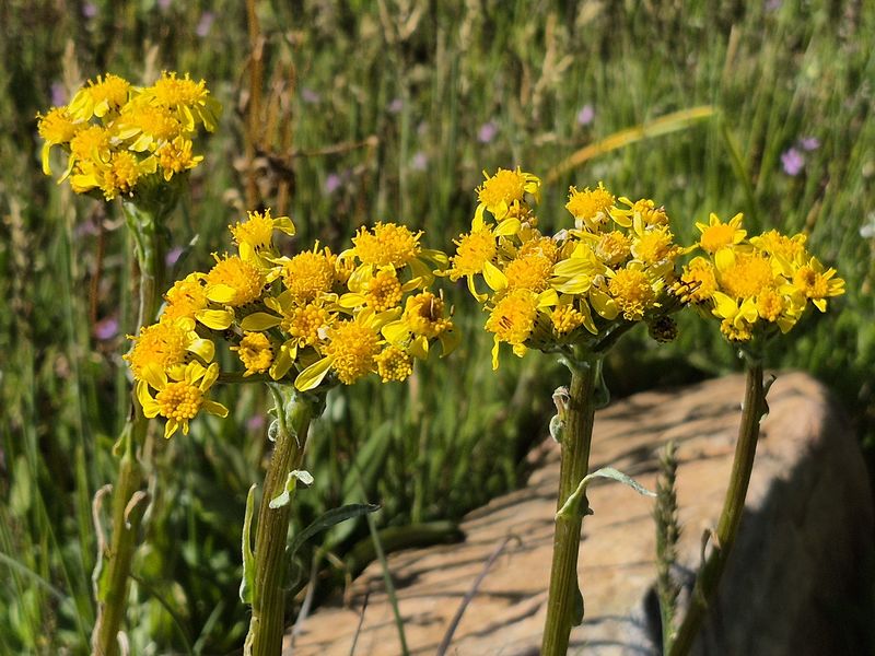
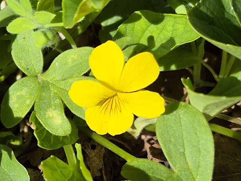
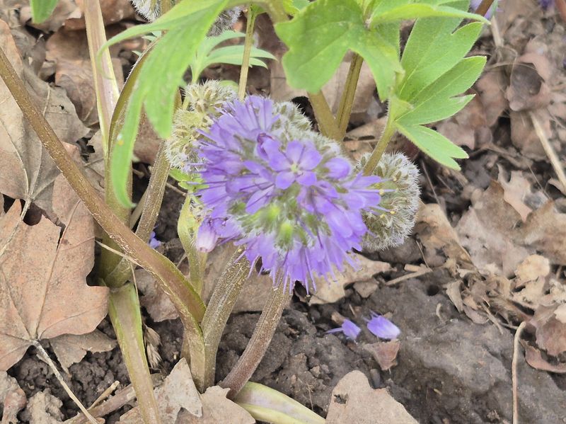
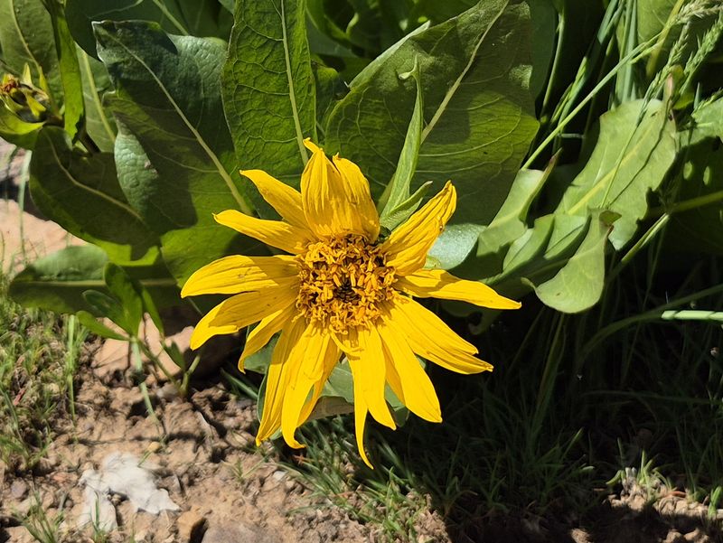
Not many of the flowers were at their peak, but we witnessed a great variety of flowers that were in bloom or near opening. The most significant presences were big-leaf balsamroot, which were plentifully in bloom on the south-facing slope of the Maple Creek drainage, yellow violets, present most bountifully in the upper stretches, and senecio. There were many mule’s ears hinting at opening up, and even some areas with full flowers. One area of death camas was found in bloom, and a large patch of blue camas buds, with only one open, was witnessed. Several patches of glacier lilies remained in full bloom in the first half mile on the floor of the canyon. In general, the most significant blooms were on the south-facing slope of Maple Creek, but there was still a lot to see, albeit more delicate, as we crossed the long slopes down toward Sugar Creek.
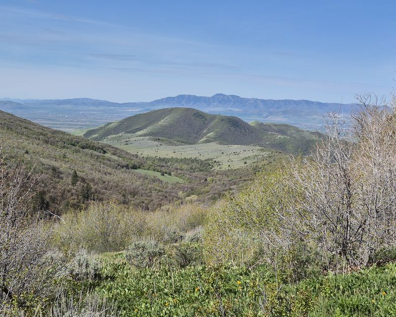
The route had us in the upper foothills that offered broad views of Cub River and Cache Valley but was distant enough with sufficient rolling hills to give the impression of a less inhabited and wilder valley than we are accustomed to seeing. It was an easy starter hike with a fair amount of gentle climbing and views and atmosphere worthy of a significant hike.
Trip Summary:
- Hikers: Kamren (group leader), Ralph, Deb, Catherine, Brent J., Dave P, Dave W, Dan, Christel, Susan, Jane, and Teresa
- Drove 26 miles to the Maple Creek trailhead east of Franklin, Idaho
- Started hiking 9 am, lunch at junction of connector trail and Sugar Creek ATV trail 11:15-11:35 am, trailhead 1:30, Logan 2:15
- Sunny and warm
- Hiked about 5.5 miles with 1000 ft. of descent and ascent
Thanks
to Kamren for the narrative, photos, and GPS data,
Dave and Jane for photos, and Ralph for photos and GPS
data.
 |
|||
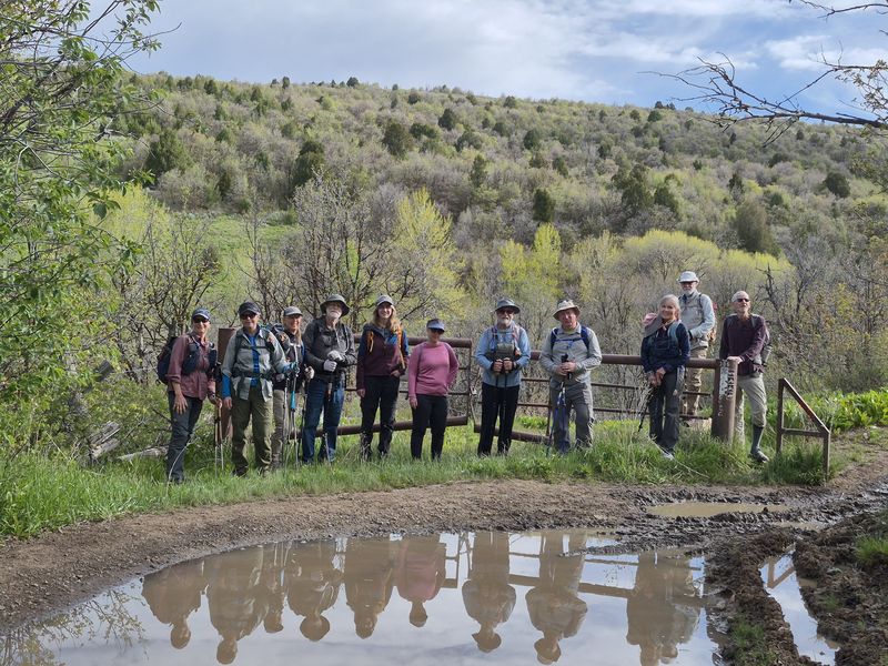
| The Maple
Creek trailhead, where the road ends and the ATV
trail begins |
|||
2026.jpg) |
 |
||
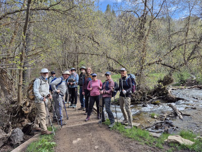
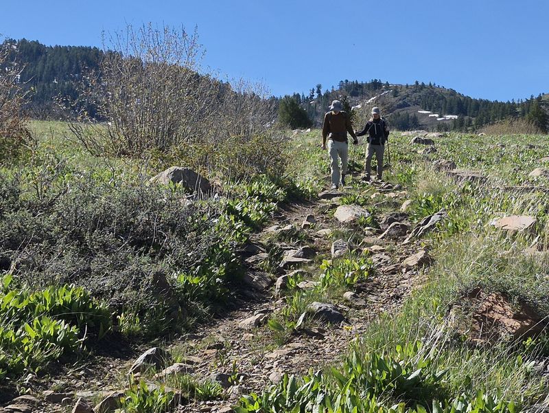
| After following Maple Creek for about a half-mile, the trail crosses the creek and heads uphill to the north | |||
 |
 |
||
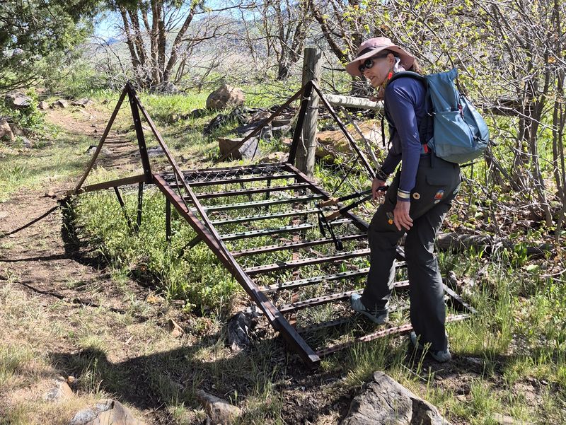
| The trail is a
motorized "double track" route suitable for
vehicles less than 50 inches wide |
|||
 |
|||
| Gunsight Peak
(Utah) is visible to the southwest (Franklin,
Idaho, is behind a hill and not visible) |
|||
 |
 |
||
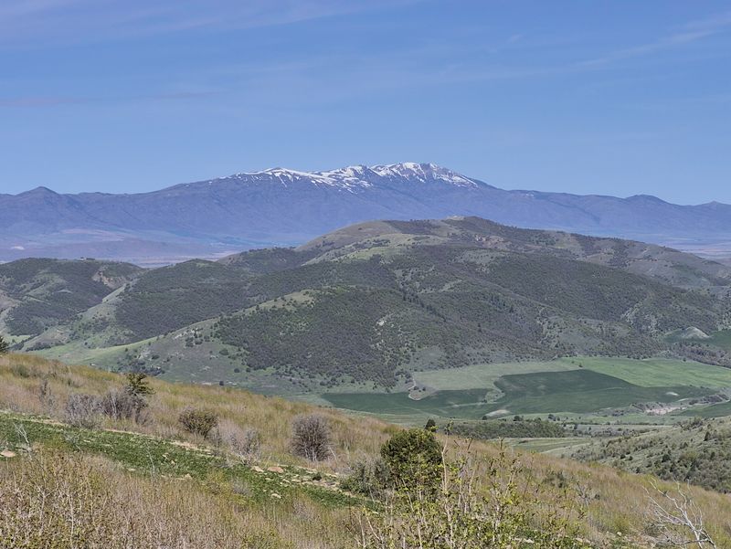
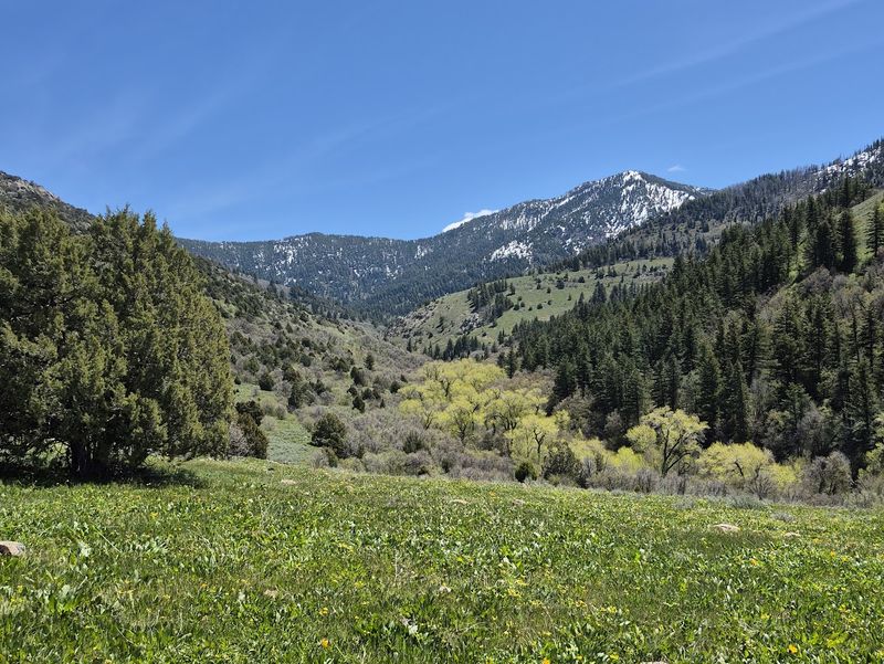
| We were able to see Oxford Peak in the northwest and the Wilderness Peak ridge toward the east | |||
 |
 |
||
| Bluebells |
Blue camas lily |
||
 |
2026.jpg) |
||
| Storksbill |
Glacier lily |
||
 |
 |
||
| Larkspur |
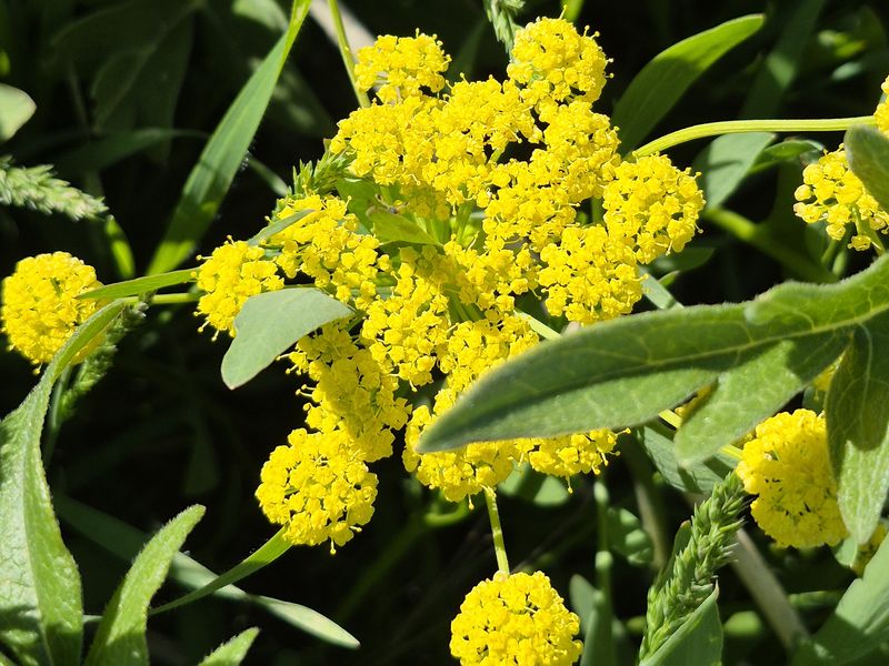
Biscuitroot |
||
 |
 |
||
| Big-leaf balsamroot |
Onion |
||
 |
 |
||
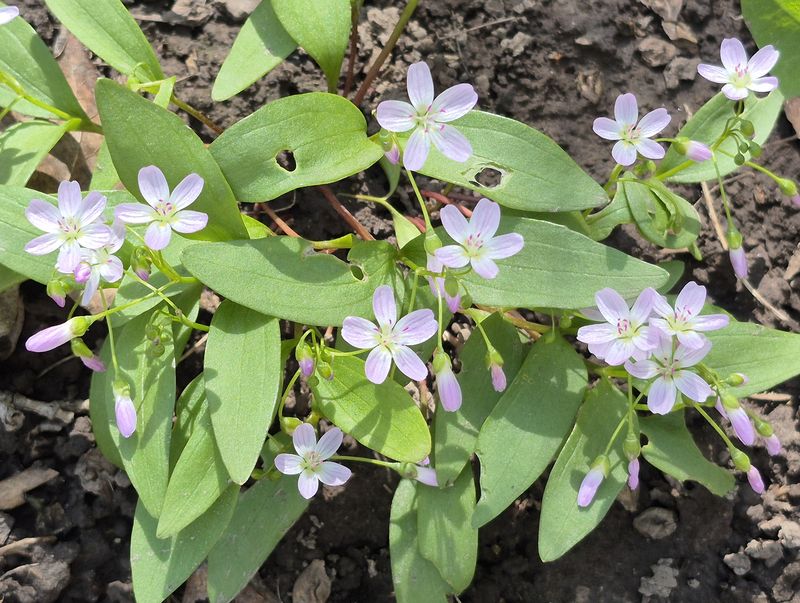
| Senecio |
Spring beauty |
||
 |
 |
||
| Violet |
Waterleaf |
||
 |
|||
| Mule ears |
|||
 |
 |
||
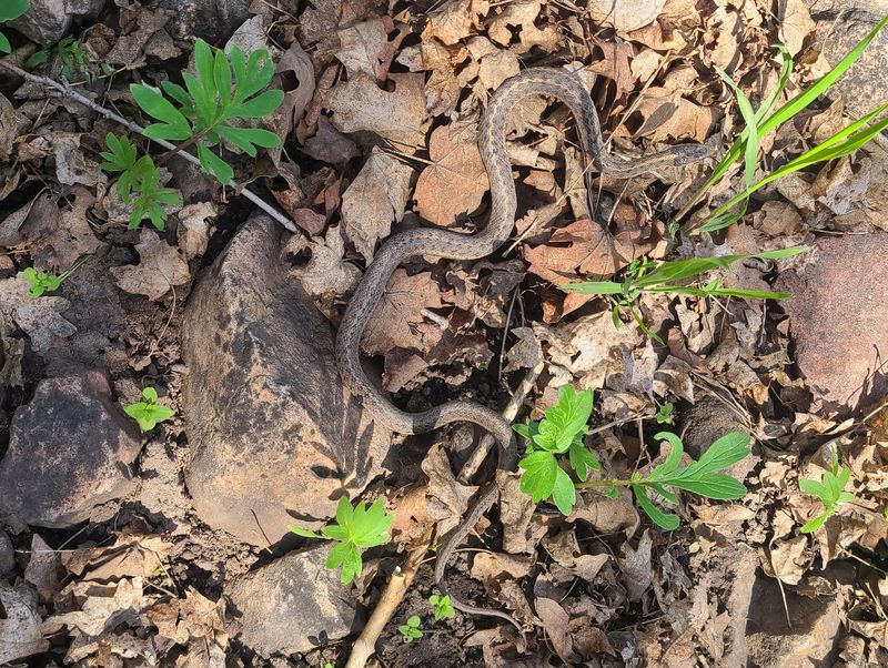
| Terrestrial garter snake |
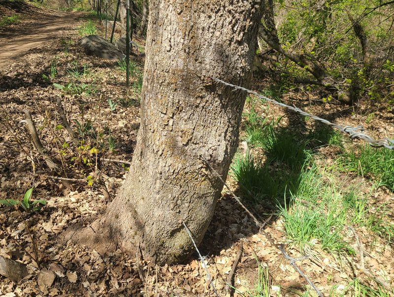
Barbed wire fence engulfed by a tree |
||
 |
|||
|
Our GPS track shows about 5.5 miles
and 1000 feet of ascent.
You can look at our route using Google Earth
or download our GPS file.
|
|||