Home
Murray Farm Moonlight, 28 February, 2026
The 28 Feb Moonlight Snowshoe
unfortunately lacked both moonlight and snow.
Undeterred, six
Cache Hikers met at Smith's at 6 pm, and proceeded to
the Murray Farm Trailhead where they were joined by
two more. Due to the almost complete lack of
snow on the trail, everyone opted to wear boots
without "Microspikes" (trail crampons). The
weather was mild for the end of February, but a high
cloud layer completely obscured the moon for the
majority of the hike, although brief glimpses could be
found every once in a while.
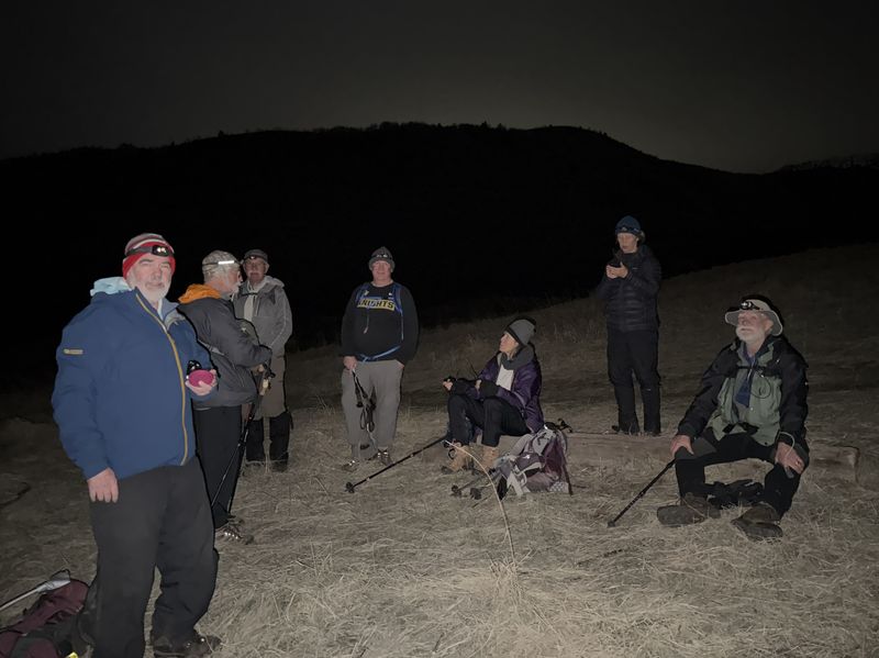
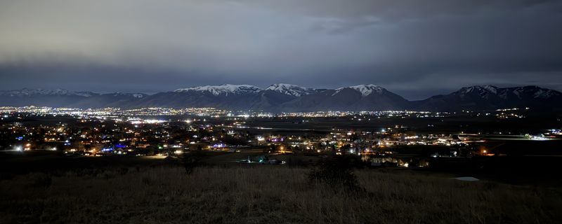
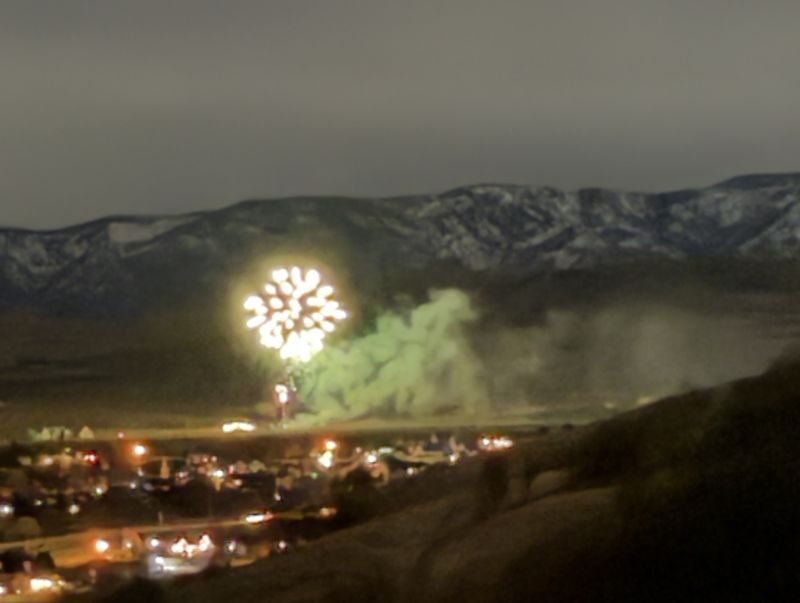
The group proceeded up the south edge of Narrow Canyon amongst the trees for approximately one mile to the trail junction, then returned down the canyon via the mid- canyon trail. Trail conditions were muddy and slick on the outbound leg, although not terribly so, and the inbound leg had plenty of mostly dry footing adjacent to the trail. Near the mouth of the canyon, the hikers diverted north and climbed up to the top of the bench to enjoy a nice clear view of Cache Valley at night. A conveniently placed railroad tie served as a nice seat while snacks were consumed, and the evening ended with a bonus private fireworks display south of the trailhead in Mt. Sterling. Although not anywhere near the planned evening snowshoe, a pleasant time was had.
The group proceeded up the south edge of Narrow Canyon amongst the trees for approximately one mile to the trail junction, then returned down the canyon via the mid- canyon trail. Trail conditions were muddy and slick on the outbound leg, although not terribly so, and the inbound leg had plenty of mostly dry footing adjacent to the trail. Near the mouth of the canyon, the hikers diverted north and climbed up to the top of the bench to enjoy a nice clear view of Cache Valley at night. A conveniently placed railroad tie served as a nice seat while snacks were consumed, and the evening ended with a bonus private fireworks display south of the trailhead in Mt. Sterling. Although not anywhere near the planned evening snowshoe, a pleasant time was had.
Trip Summary:
- 8 participants, Dave W, Jane, Ralph, Bruce, Sue, Brent J, Lynne and Brent J (leader)
- Drove 15 miles to the Murray Farm Trailhead
- Started hiking about 6:30 pm, returned to the trailhead about 8:30 pm
- Sky obscured
by a high overcast layer that offered only occasional
views of the moon, and artificial lights were required
- Calm winds and comfortable (above freezing) temperatures, trails were clear of snow and generally muddy, but decent footling was available by walking next to the trail itself.
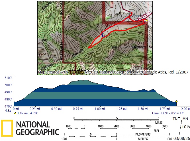
- Hiked about
1.9 miles and 360 ft. ascending (1.4 miles and 290
feet for the ambler)
Thanks
to Brent J for the narrative, Sue and Jane for photos,
Dave W for GPS data, and Ralph for photos and GPS data
2026.jpg) |
|||
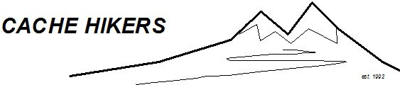
| Starting out from the Murray Farm Trailhead | |||
 |
|||
| Hiking up through the trees on the south side of the Narrow Canyon meadow | |||
 |
|||
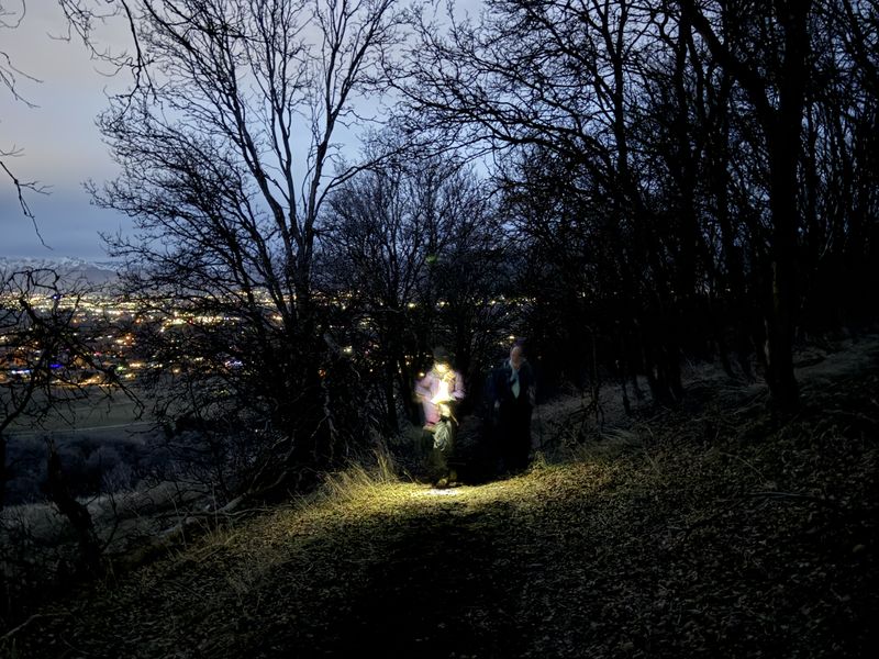
| Using a red
headlight to help preserve night vision |
|||
 |
|||
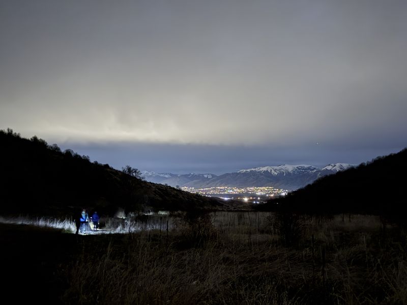
| Hiking down the meadow trail | |||
 |
|||
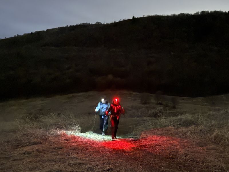
| Observing the moonlit scene from the
"bench" |
|||
 |
|||
| Cache Valley
and the Bear River Range, as seen from the "bench"
above Murray Farm Trailhead |
|||
 |
 |
||
| There were fireworks to the south |
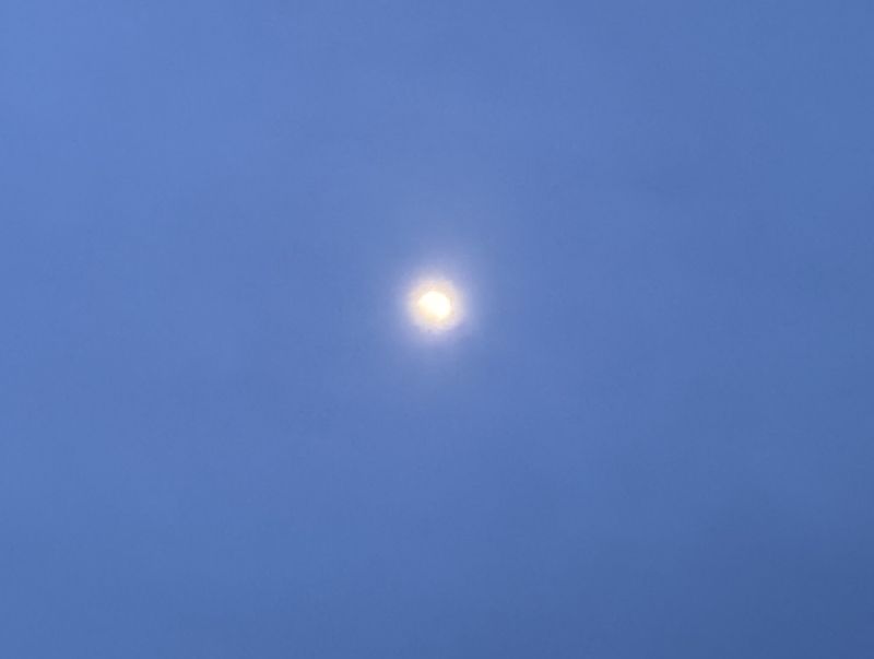
We occasionally glimpsed the moon
through the clouds |
||
 |
|||
|
Our GPS track (red) shows about 1.9
miles and 360 feet of ascent, the "ambler" track
(blue) was about 1.4 miles with 290 feet of
ascent. You can look at our route using Google
Earth or download our GPS file.
|
|||