Murray Trailhead Hike, 2 April 2017
With muddy trails, rain, snowbanks and broken trees, this hike was a good example of why we do not usually schedule Cache Hiker excursions in April!
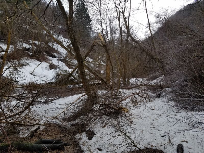
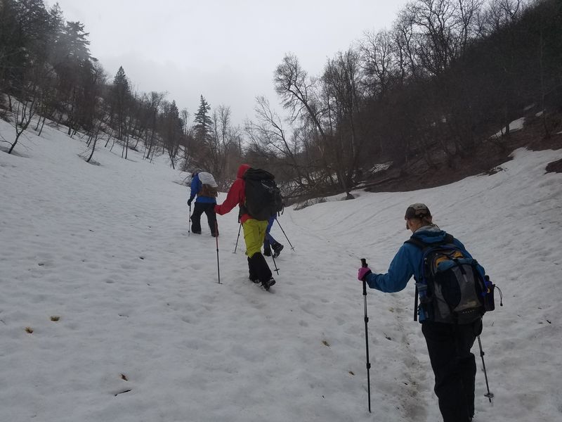
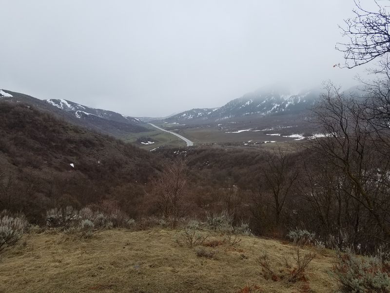
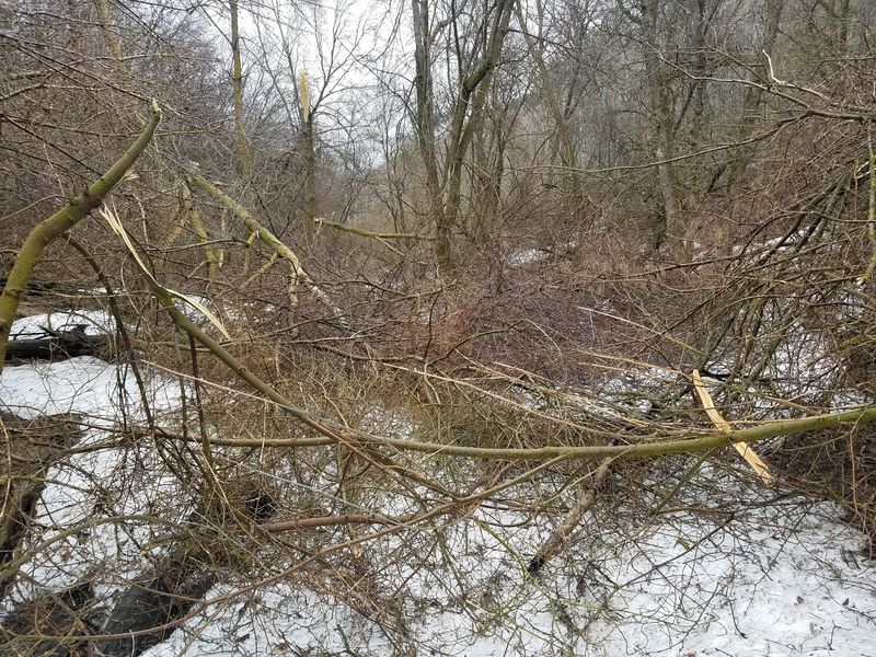
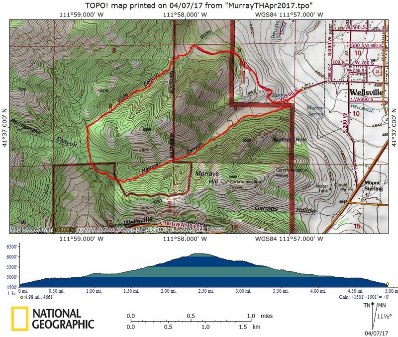
Several Cache Hikers joined this unscheduled hike to become more familiar with the Murray Farm trailhead and trails in Wide Canyon and Narrow Canyon. We parked at the trailhead on west 800 South in Wellsville and hiked 1/8 mile to another gate. Here we headed north, enjoying views of Cache Valley as we hiked. We turned west up Wide Canyon and soon passed a "guzzler", a water-collecting structure installed to benefit game birds. About the time we passed the (unmarked) Wellsville Mountain Wilderness Area boundary we encountered so many broken trees that the trail was blocked. . We continued on, with difficulty, and eventually the broken trees thinned out (but the snow got deeper).
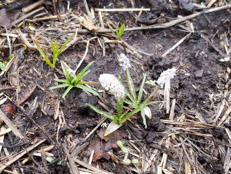
At the top of Wide Canyon we joined the Rattlesnake Trail for a short distance before descending Narrow Canyon. We encountered more broken trees but eventually the snow diminished and we even saw a few spring wildflowers: spring beauty and Indian potato. In the lower canyon we noticed evidence of mountain biker activity, including constructed jumps.
Trip Summary:
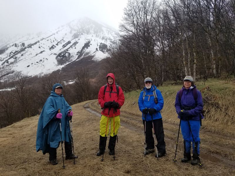
- Dave W., Dave P., Jane, Nikolai and Laurel
- Drove 12 miles to the Murray trailhead west of Wellsville
- On the trail about 10:30
- Lunch on Rattlesnake Trail 1:00 - 1:30
- Back at the car about 3:15 and Logan at 3:45
- Our GPS track showed 5 miles with 1500 feet of ascent
- Rain, with many downed trees and snow on the trail
Thanks to Dave W. for the narrative, photos and GPS and Dave P. for photos
Note: In 2011 the Murray family sold 77 acres of their farm to the Forest Service to preserve it from development. Volunteers built a wood fence along part of the property. It's also a point of the Bonneville Shoreline Trail.
LInks:
- Wellsville vista saved
- Wellsville mountain's wilderness, decades in the making, gains a 'gateway'
- Volunteers and officials build fence to promote annual Public Lands Days
- Public Lands Day: Building a good fence to have happier neighbors
- Volunteers Invited to Pitch-in on Public Lands Day Project
- Bonneville Shoreline Trail - Avon to Bear RIver
|
|
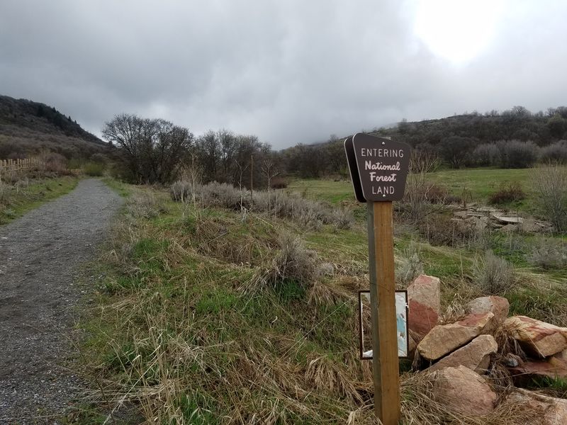
| A Forest Service sign near the beginning of the trail | |
 |
|
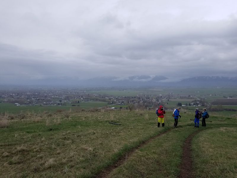
| Looking east over Wellsville | |
|
|
| Much of the Wide Canyon trail was covered with snow and broken trees | |
|
|
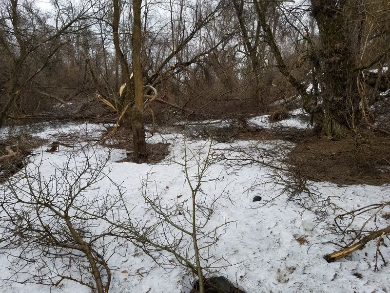
| There were fewer broken trees on the upper portion of the trail | |
|
|
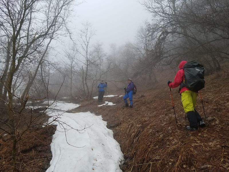
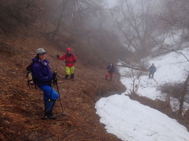
| We entered the clouds | |
 |
|
| A rainy day | |
 |
|
| Overlooking the highway | |
 |
|
| Broken trees over the Narrow Canyon Trail. Most fell inward, suggesting damage due to heavy snow. | |
 |
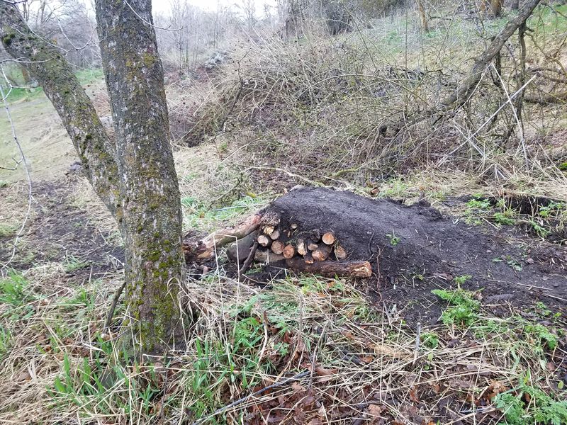 |
| Indian potato, one of the earliest spring flowers | Mountain bike jump in lower Narrow Canyon |
 |
|
| Our GPS track shows 5 miles with 1500 feet of ascent | |
You can look at our route using: Google Earth, the various map and aerial views of Google Maps or download our GPS file. |
|