
Home
Naomi Ridge, 27 July, 2022
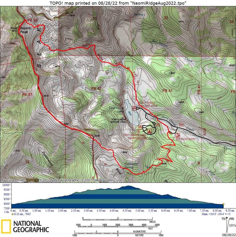
Five Cache Hikers ascended Naomi Peak by an alternative route. Dave P, Dave W, Deanna and Brent L followed Kamren as he led the group north up the ridge to Naomi Peak. Starting at the Tony Grove backcountry trailhead, we followed the Mt. Naomi National Recreation Trail, TR 005, to the meadow above Coldwater Spring. We left the trail at that point to follow a faint footpath north to a saddle overlooking Tony Grove, then northwest up the main ridge of the Bear River Range.
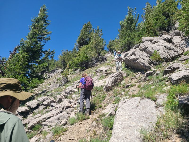
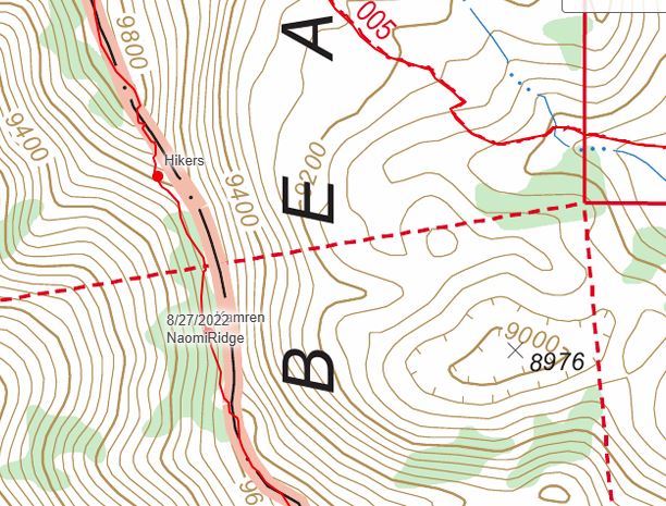
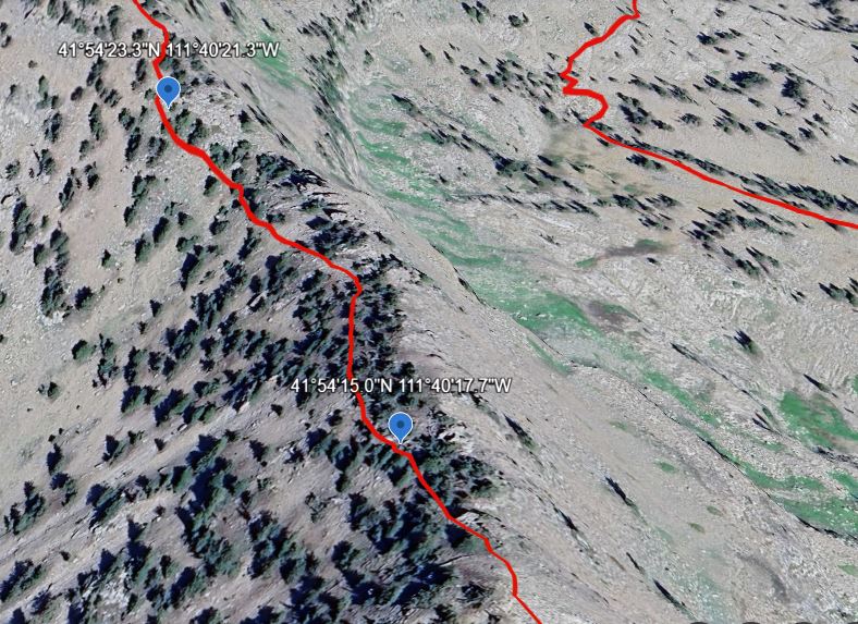
Eventually the footpath faded out as we worked our way up the ridge. Kamren confidently let the way past rocky outcroppings, up steep slopes and narrow ridges and finally arrived at the gentle terrain south of Naomi Peak. We have hiked this ridge before, but we often would travel over more steep and rocky side-hill terrain. Kamren's route, however, was efficient and precise, with a minimum of steep and rocky sections. His route followed the ridge crest most of the way except for a rocky section where we traveled just to the west of the ridge crest (see the map and satellite imabe, below).
After Naomi Peak, we followed the usual route down to Tony Grove
Trip Summary:
- Drove 28
miles to the Tony Grove Backcountry Trailhead, about
1/2 mile east of the Tony Grove Lake Campground
- Started
hiking about 9:00, on Naomi Peak at 2:45, back at the
trailhead at 5:00.
- Sunny skies, calm winds and pleasant temperatures
- Hiked about
8.4 miles with about 2400 feet of total ascent (includes
2.8 miles "off trail" travel along the Naomi Ridge)
Thanks
to Dave W for the narrative and GPS data, and Dave P,
Dave W and Deanna for photos.
 |
|||
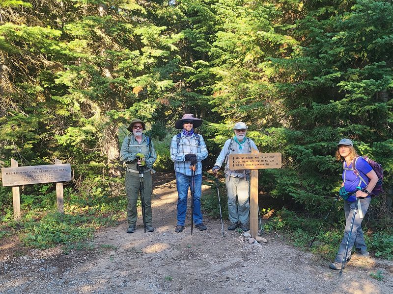
| The Tony Grove
Backcountry Trailhead |
|||
 |
|||
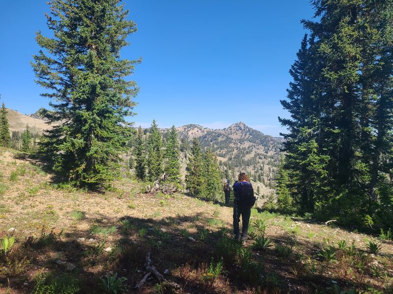
| Looking north over Tony Grove | |||
 |
|||
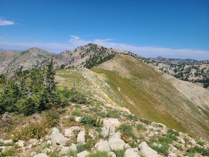
| On the ridge about a mile from Naomi
Peak (looking north) |
|||
 |
 |
||
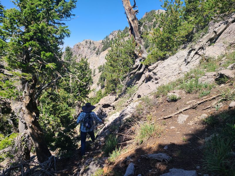
| Following the west edge of the rocky
ridge, about 2/3 mile south of Naomi Peak |
Continuing on the west side of the
ridge, about 1/2 mile from Naomi Peak |
||
 |
 |
||
| The map view
(left) and satellite image (right) show the route
we followed, just west of the rocky outcroppings
on the ridge crest. Placemarks on the map and
satellite view mark locations for the two photos,
above. |
|||
 |
|||
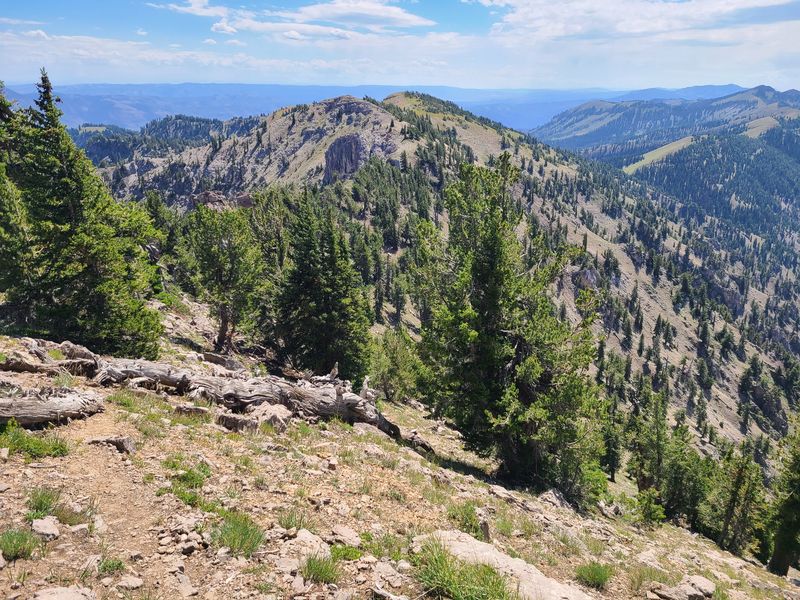
| About a half-mile
from Naomi Peak, looking south along the route we
had just traveled |
|||
 |
|||
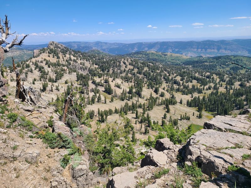
| Mt. Magog and Logan Canyon, looking NE from the ridge about 300 yards south of Naomi Peak | |||
 |
 |
||
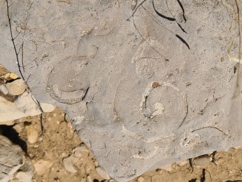
| Fossils |
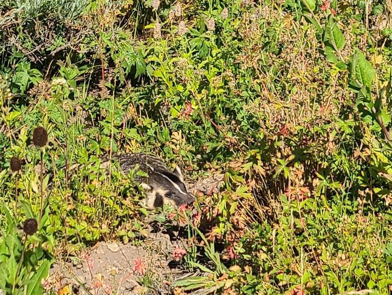
Badger |
||
 |
|||
|
Our GPS track shows about 8.3 miles
and over
2400 feet of total ascent.
You can look at our route using Google Earth
or download our GPS
file.
|
|||