Home
Peterson Hollow Hike, September 21, 2014
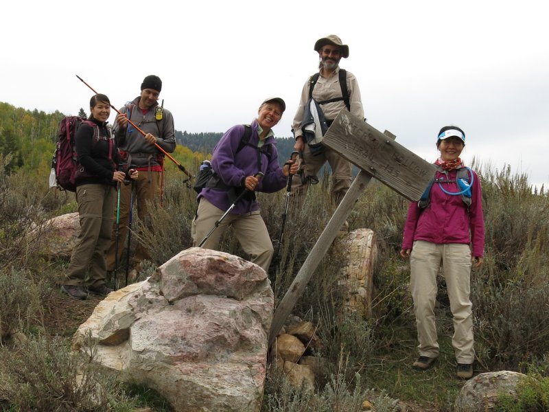
Six Cache Hikers participated on this activity: Dave W. (the leader), Jane, Denis, Liujun, Alex and Stephanie T. The planned destination was Bloomington Lake via Danish Pass and the Highline Trail, but the weather forecast of rain, wind and thunderstorms was not favorable for this ridgetop route. Instead, Dave led the group on a more sheltered hike up Peterson Hollow to Wiggler Lake, a plan that also avoided a potentially muddy section of road.
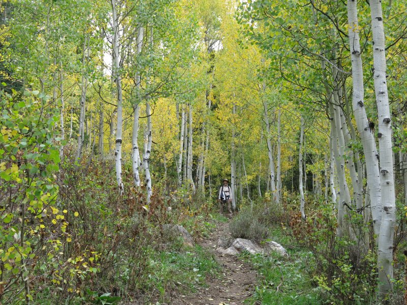
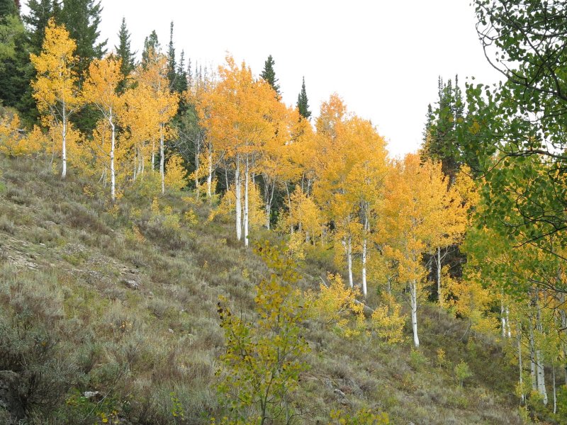
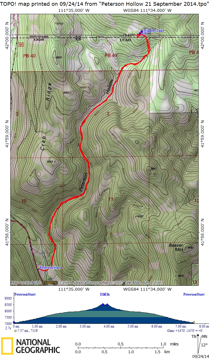
We organized into carpools and drove about 30 miles up Logan Canyon to Peterson Hollow in Franklin Basin (our original plan would have involved about 40 miles of driving to Danish Pass). The parking area was roped off for next week's Bear 100 Mile Endurance Run but there still was plenty of room to park. The old sign marking the trail was there, just over the Logan River. Our route followed the trail through a sagebrush meadow and up Peterson Hollow. A golden shower of aspen leaves rained down as we walked, carpeting the trail with a layer of color, and freshly clipped evergreen branches showed evidence of preparations for Bear 100. We also saw several salt blocks that had been set out for livestock.
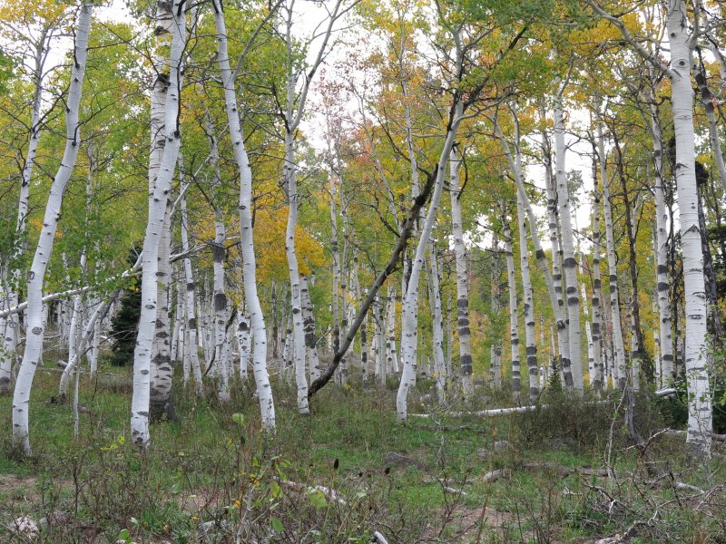
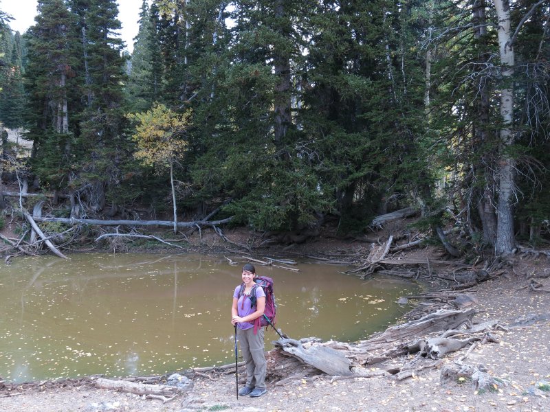
Bright flagging ribbons marked a spot about 2 1/2 miles from the start where the Bear 100 route headed off toward Beaver Mountain. At 3 1/2 miles we left the trail after encountering a stand of aspen trees with curious horizontal bands on their trunks and headed uphill toward Wiggler Lake. Located just north of the Idaho border, this "lake" is little more than a sinkhole filled with muddy water. It obviously is a resource for wildlife and livestock. We did not see the bow hunters that have been here in the past, but unfortunately we came upon the carcass of an elk that appears to have been killed illegally.
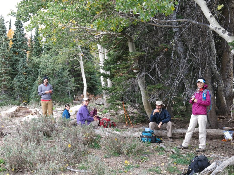
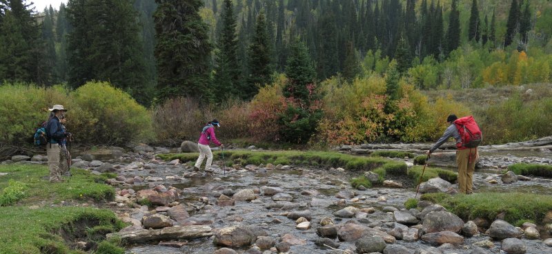
We had a good view of Franklin Basin from the rocky outcroppings nearby, but the cold wind encouraged us to eat our lunch in a more sheltered location. The blustery weather also reminded us of the exposed ridge trail that we avoided by our change our plans for the day. We returned to more pleasant conditions after lunch as we descended into the shelter of Peterson Hollow. Periods of light rain accompanied our hike on the way back and the damp rocks made for a slippery river crossing. Arriving at our vehicles by 2:00 and back in Logan by 3:00, this substitute hike was a colorful and delightful activity.
Trip Summary:
- Started hiking about 9:10 under overcast skies
- Lunch near Wiggler Lake, about 11:30 to 12:00, 52 °F and breezy
- Light rain during the hike out
- Back to our cars by 2:00 and Logan by 3:00
- The GPS track shows 7.6 miles with more than 1400 feet of elevation
Thanks to Dave W. for the narrative, photos and GPS work
|
|
| An old sign near the Logan River marks the beginning of the trail | |
|
 |
Aspen tree with unusual markings |
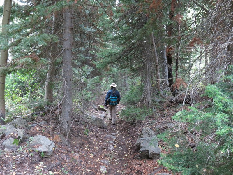
Walking through an evergreen tunnel |
|
|
| Aspen leaves turning color | A stand of aspen with orange-colored leaves |
|
|
| Wiggler Lake | A chilly lunch near Wiggler Lake |
|
|
| A slippery stream crossing | |