Rattlesnake Trail, 26 May, 2019
Nine hikers took advantage of a timely break in the rainy weather of the past week and did a short hike to a communication tower near Rattlesnake Canyon in the Wellsvilles. The ground was still damp and muddy in places from recent rains, but skies were partly cloudy, the temperature was pleasant, and spring wildflowers were out in force.
The gated dirt road taking off from the highway (signed “Rattlesnake Trail”) went up a gradual incline to where the Rattlesnake Trail proper took off at a kiosk with a weatherproof map. We continued on the road, enjoying the brilliant spring green of the abundant grass and fresh leaves on the maples. The pace was leisurely, and the two parallel tracks lent themselves well to conversation as we walked.
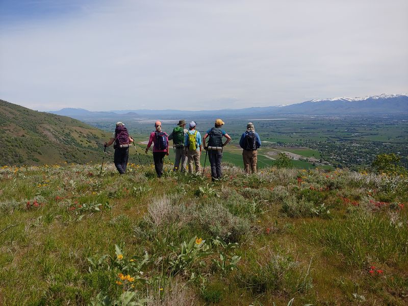
Views from the communication tower took in all of Cache Valley, and the still-snowy peaks of the Bear River Range across the valley made a picturesque backdrop. We took a snack break there before heading back.
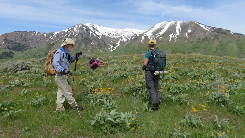
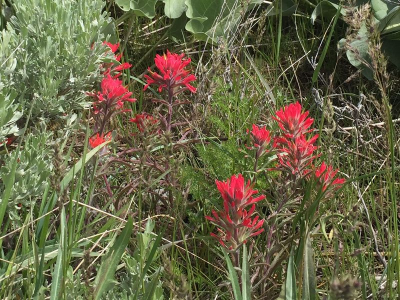
On the way back we decided it would be worth climbing to the top of Murrays Hill using a faint trail that led off the road, and in only a few minutes we had even better views of the valley and the Wellsvilles to the west, and we enjoyed the many wildflowers among the sagebrush, including balsamroot and Indian paintbrush. We found the remains of a concrete structure near the top, which the map indicates was once another communication tower. Then we retraced our route back to the trailhead, where we saw our most noteworthy wildlife: a gopher snake that quickly slithered away through the grass.
Trip Summary:
- Nine hikers: Susan, Tanya, Brent, Jane, Dave W., Dave P., Young, Teresa, and Laurel (leader)
- Organized carpools and drove 13 miles to the Rattlesnake trailhead in Wellsville Canyon
- Started hiking from the trailhead about 8:40
- Arrived at the communication tower about 10:00 with a snack break (“brunch”) from about 10:00 to 10:40
- Back at the cars by about 12:20 and Logan about 12:45
- Partly cloudy skies,calm winds and comfortable temperatures
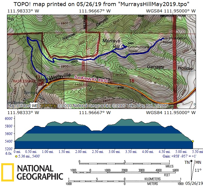
- Total distance was about 5 1/2 miles with about 800 feet of ascent.
Thanks to Laurel for photos and the narrative, Tanya, Jane and Susan for photos and Dave W. for photos and the GPS data.
|
|
| A "groupie" near the start of our hike | |
 |
|
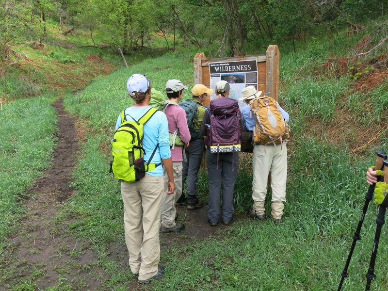
| Inspecting the map at the junction with the Rattlesnake Trail and the road to Murrays Hill communications tower | |
 |
 |
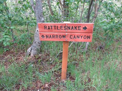
| A sign (left) marks the junction with the Narrow Canyon trail (right) | |
_small.jpg) |
|
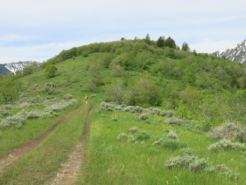
| Easy and scenic hiking along the way (looking east) | |
2019.jpg) |
|
| Easy and scenic hiking along the way (looking west) | |
|
|
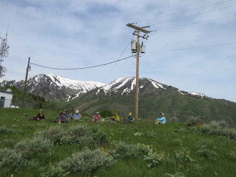
Taking a break near the communication tower |
|
 |
|
| Identifying peaks in the Bear River Range to the east | |
 |
|
| Hiking toward Murrays Hill | |
 |
|
| Enjoying the view from the top of Murrays Hill | |
 |
|
| Wildflowers, scenery and pleasant weather | |
 |
|
| Enjoying easy hiking and scenic views on the way back | |
 |
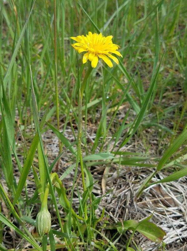 |
| Death camas | Mountain dandelion |
 |
 |
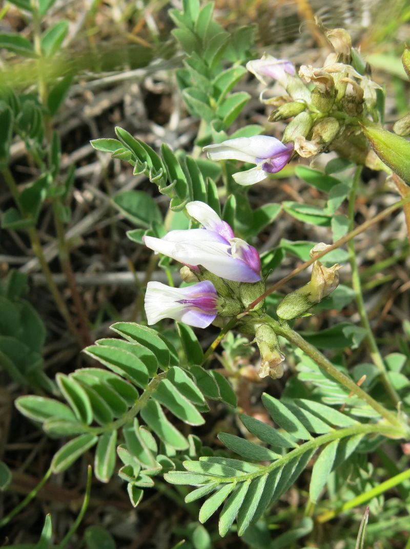
| Milkvetch (Astragalus) | Arrowleaf balsamroot |
 |
2019.jpg) |
| Indian paintbrush | Another species of milkvetch (Astragalus) |
 |
|
| Our GPS track shows about 5 1/2 miles and 800 feet of ascent and descent | |
You can look at our route using Google Earth or download our GPS file. |
|