
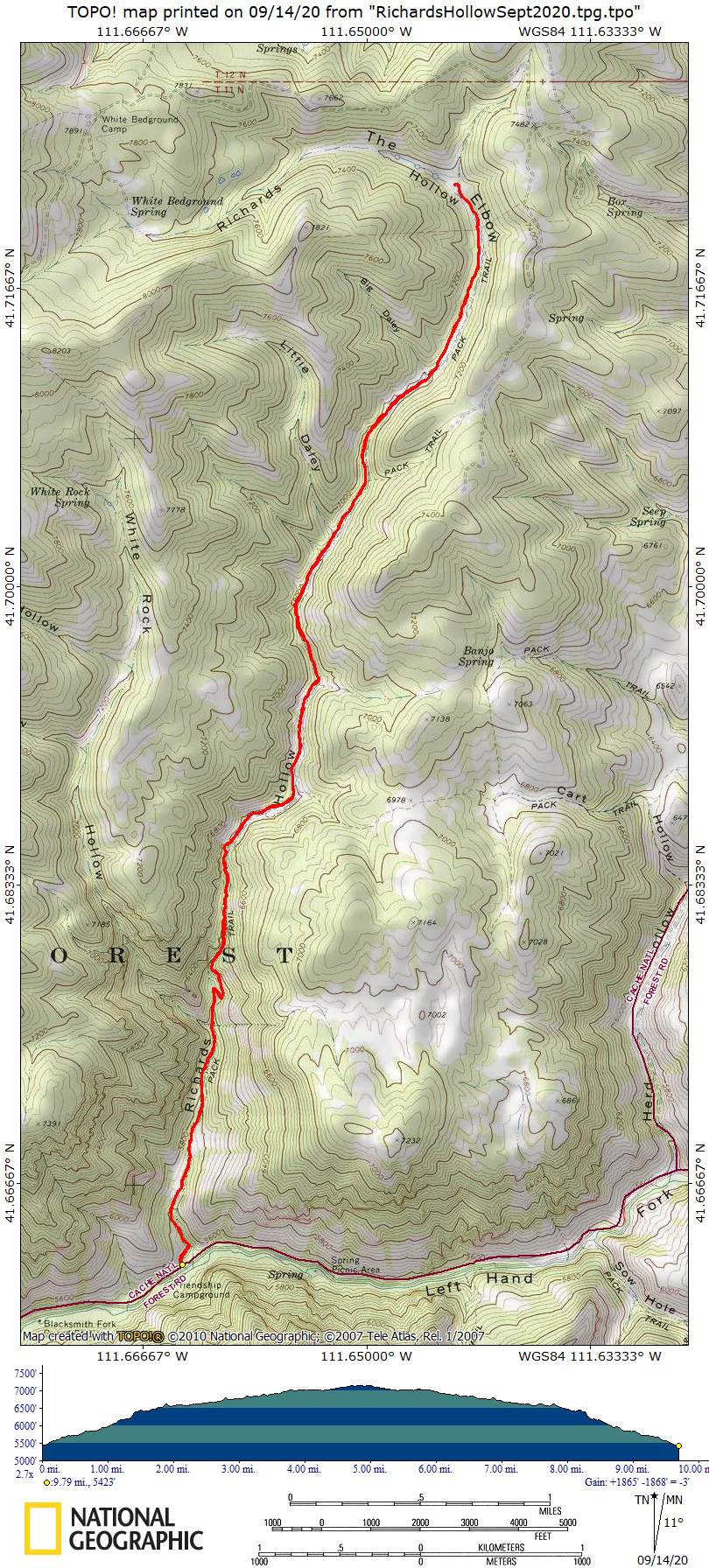
We traveled south of Logan through the beautiful Blacksmith Fork Canyon to Left-hand Fork Road then Richards Hollow trail. We passed a lot of campers nestled in the trees. There was enough room to park all our vehicles at the trailhead. We started hiking about 9 a.m. The air was chilly to start and some of the leaves were turning, reminding us that we are entering autumn and need to resume packing layers again.
The first part of the hike was a steady ascent on a narrow forested path beside a dry creekbed. Higher up, the waterfall was still falling, with enough water in that part of the creek for dog drinks. After a couple of miles, the trail became fairly level and went through a green valley past the Cart Hollow - Seep Hollow loop turnoff. There, we encountered summer resident cattle who were rather vocal about having to share the trail. After the cattle, we came to a wider valley with interspersed open and shady areas.
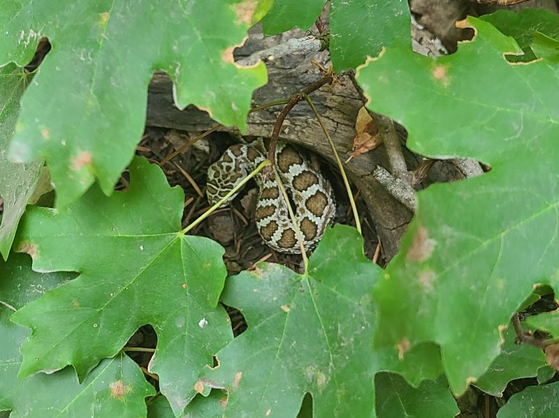
Our trip ended at the “Elbow” where the trail curves to the left and splits with both options eventually connecting Adams Corral road. We had lunch at the Elbow and then headed back down. A baby rattlesnake coiled and rattled at us from the side of the trail, but everyone passed by safely. We were all back at the vehicles by 4 p.m. The only other people we encountered were a few motorbikers who were challenged by the narrow, rocky section of trail. There is widening and smoothing work in progress to improve motorbike access. Richards Hollow is an enjoyable trail that would be even better to visit earlier in the season when more water is flowing and flowers are blooming.
Trip Summary:
- Eleven
hikers and two dogs: Ralph, Monika, Dave P.,
Brent, Deanna, Jane, Dave W., Laurel, Kathy, Young,
Teresa (leader), along with Murphy and Jasper (dogs)
- Drove 19
miles to the Richards Hollow trailhead in the Left
Hand Fork of Blacksmith Fork Canyon
- Started
hiking about 9:00, with lunch 12:15 - 1:10, and
everyone back at the trailhead by 4:00.
- Warm
temperatures, hazy skies from distant wildfires, and
an occasional light breeze
- GPS track
shows 9.8 miles and 1700 feet of ascent & descent
Thanks to Teresa for the narrative, Dave P., Kathy and Jane for photos and Dave W. for photos and GPS data.
 |
|
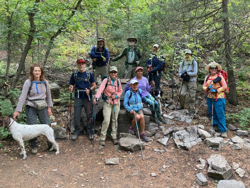
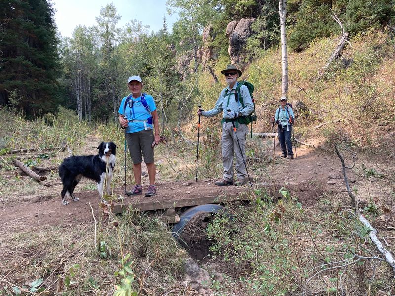
| Hikers on the Richard's Hollow Trail | |
 |
|
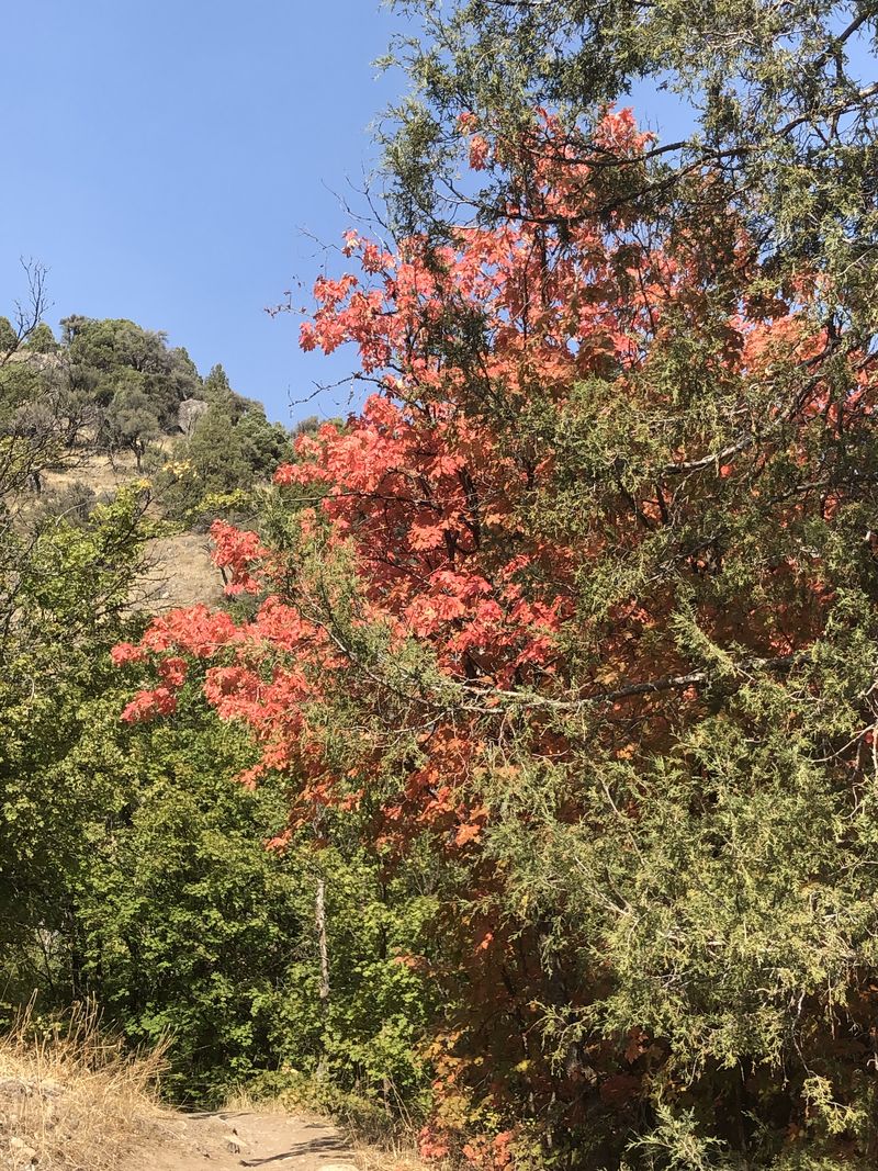
| Colors of Fall | |
 |
|
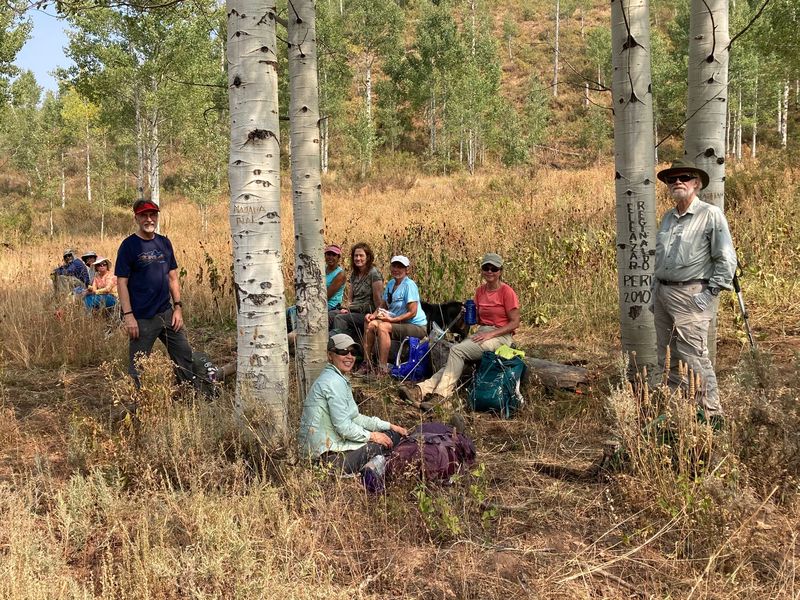
| Our lunch
site near "The Elbow" |
|
 |
 |
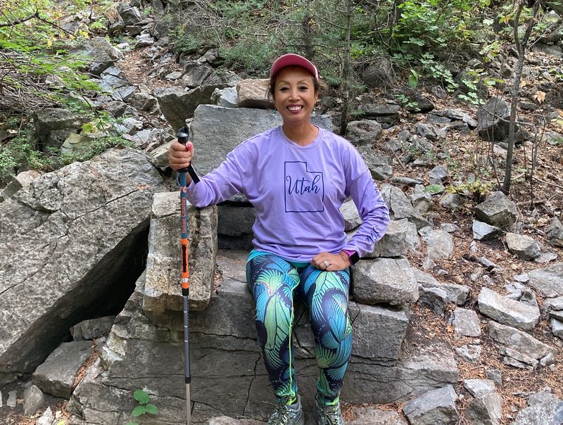
| A queen on her throne? |
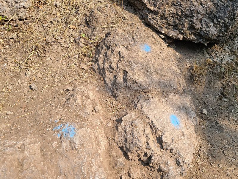
Paint shows where the trail crew needs to remove rock |
 |
 |
| A missing sign at the
Cart Hollow Trail junction |
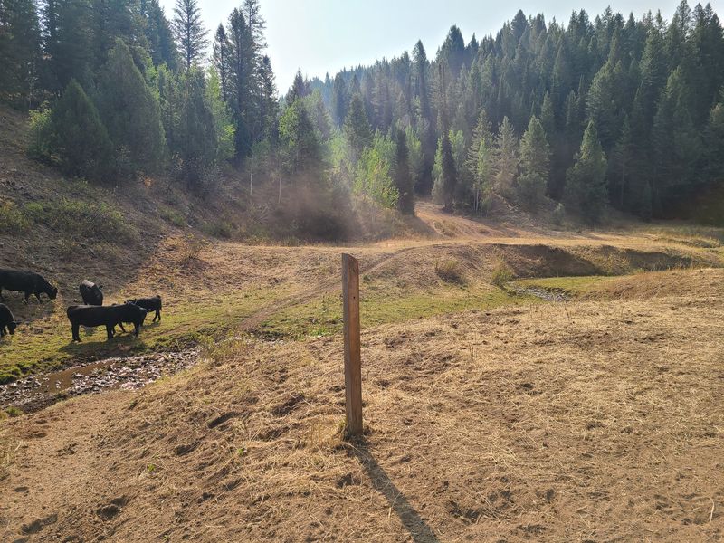
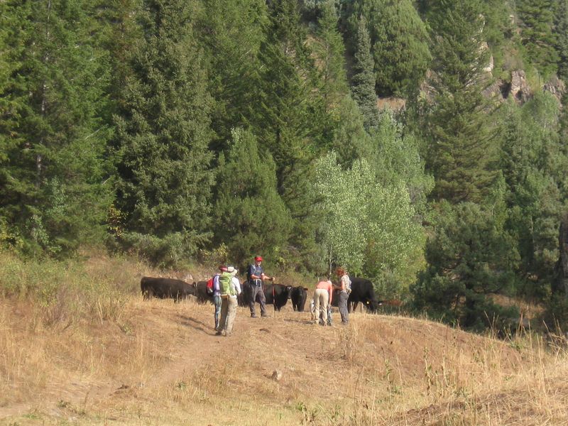
Cattle blocking the
trail |
 |
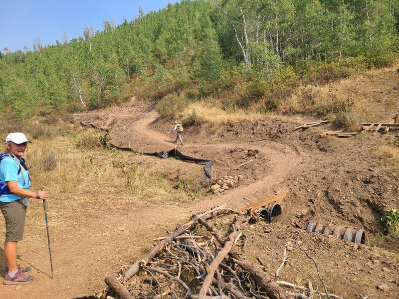 |
| Bridges make it easier
for motorcycles |
Recent trail improvements 1/4 mile below "The Elbow" |
 |
 |
| A small rattlesnake
near the trail |
Tufted rockmat |
 |
|
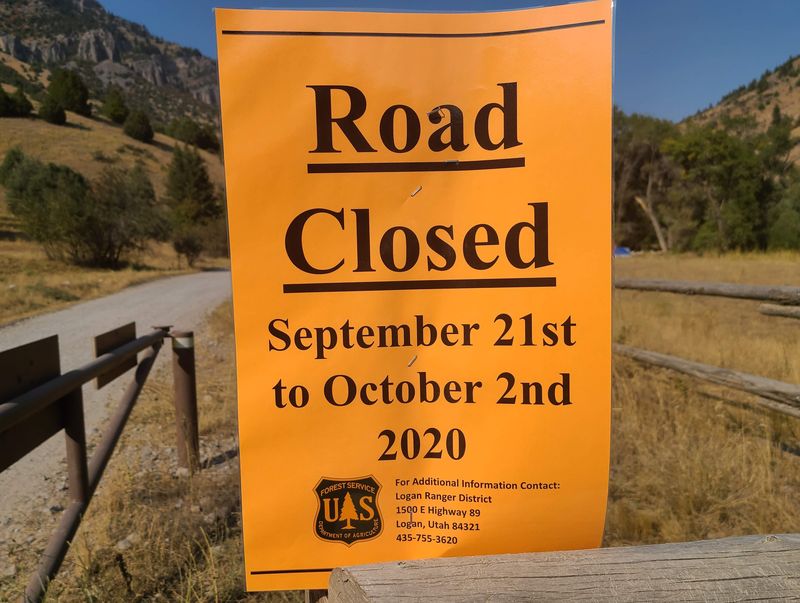
| The Left Hand Fork road will be closed for campsite maintenance | |
 |
|
|
Our GPS
track shows about 9.8 miles
and 1700 feet
of ascent and descent.
|
|