Willow Creek - Little Cottonwood Loop, 3 June, 2018
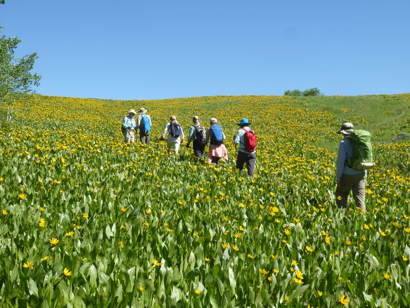
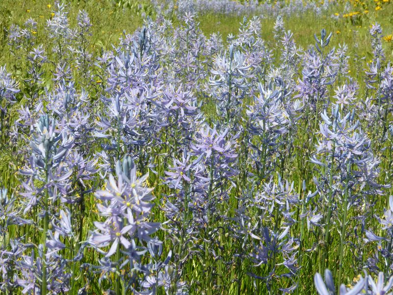
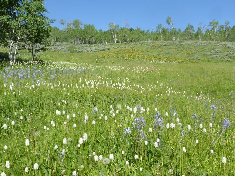
The hills were alive with acres of mule ears (Wyethia amplexicaulis) in peak bloom. Although the blue camas (Camassia quamash) had mostly finished blooming, a few pockets remained in the wettest areas. Many other wildflowers were blooming or about to bloom.
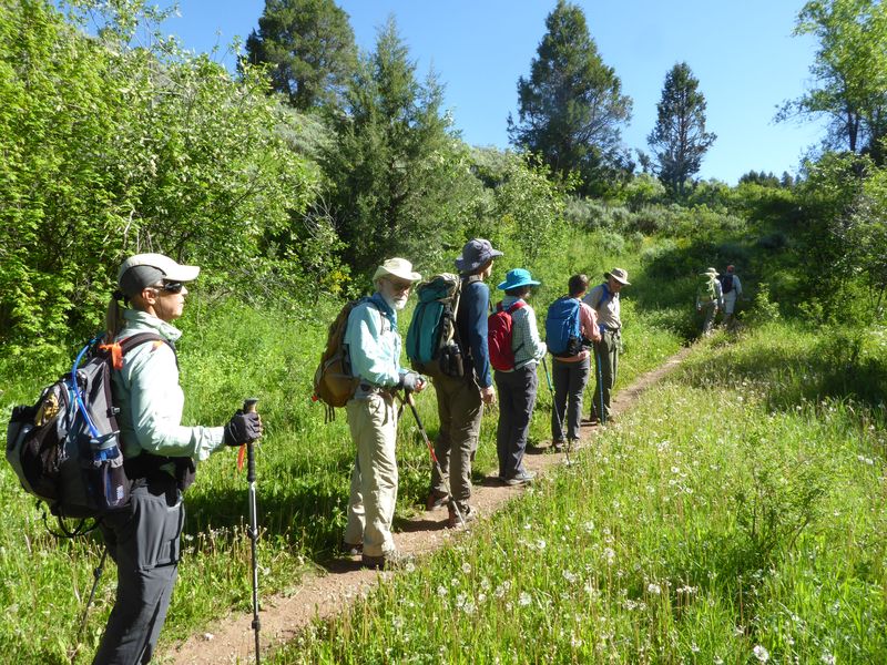
Nine hikers, Susan (trip leader), Jane, Dave W, Dave P., Jim, Nancy, Dan, Teresa and Laurel, carpooled from Logan, leaving shortly after 8 a.m. and arrived at the Right Hand Fork trailhead at about 8:30 a.m. The hikers started on the Right Hand Fork Trail at about 8:40 a.m. continuing on the Willow Creek Trail to an unmarked cutoff located at a sharp bend/switchback and small stream crossing (2 miles).
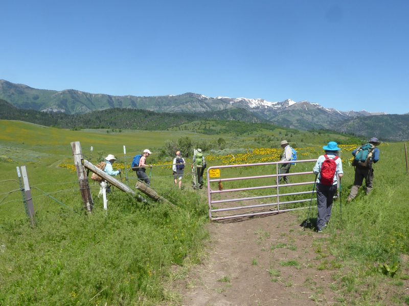
Instead of heading to Mud Flat as originally planned, the group took this shorter cutoff route to the jeep road. This reduced the trip from 8.7 miles to 6.5 miles and made for a perfect early season hike.
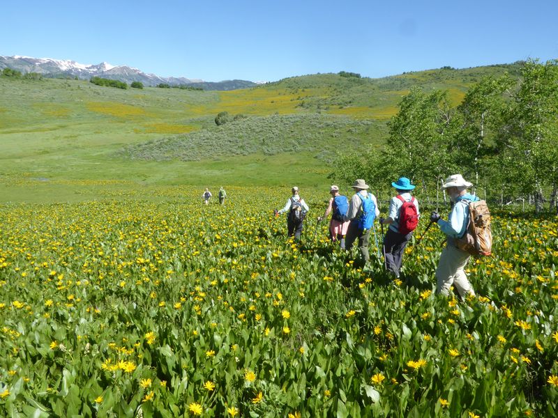
This path continued to a small muddy cow pond. From there, the footpath became faint to non-existent and the group then continued bushwhacking through Mule-ears north to where the Maughan Hollow trail emerged from the southwest at a wide-open basin filled with flowers. The hikers then proceeded across the basin to the saddle on the ridge above the north side of the basin. The jeep road was located just beyond this point.
At about the halfway point of the hike, the group ate lunch at the ridge in the shade of a grove of bigtooth maples. Views of Mt Elmer, Beirdneau Peak, Logan Peak, Logan Canyon and the Cache Valley could be seen from here. Unlike 2017, much of the snow pack on the peaks was gone. Following lunch, the group continued west (left) along the jeep road and down through Little Cottonwood Canyon to the corral and the parking area.
Trip Summary:
- Nine participants: Susan (trip leader), Jane, Dave W, Dave P., Jim, Nancy, Dan, Teresa and Laurel drove 14 miles to the Right Hand Fork Trailhead
- Started hiking about 8:40 with lunch about 11:30 - 12:00 at the ridge just before arriving at the jeep road
- Back at the trailhead about 1:00 and Logan about 1:30
- Cloudless sky, cool morning temperatures warming to about 80 degrees
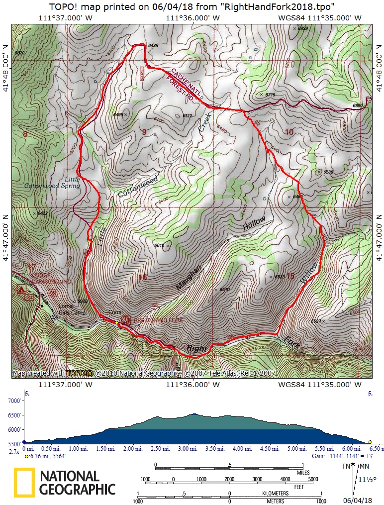
- About 6.5 miles with 1100 feet of ascent
- Encountered two mountain bikers coming down the Right Hank Fork trail, one hiker who had come in on the Maughan Hollow trail and two ATVs on the jeep road.
Thanks to Susan for the narrative, Dave P., Laurel and Dave W. for photos and Dave W. for the GPS data.
Note: This area is best enjoyed before cattle are turned out to graze the second week of June.
|
|||
| Hiking up the Willow Creek Trail | |||
 |
|||
| Fields of mule ears flowers between Willow Creek and Maughan Hollow | |||
2018.jpg) |
|||
| On the ridge between Willow Creek and Maughan Hollow | |||
 |
|||
| Descending into Maughan Hollow | |||
|
|||
After lunch we followed a jeep road (FR153, Chicken Creek Road) for 2 miles |
|||
 |
|||
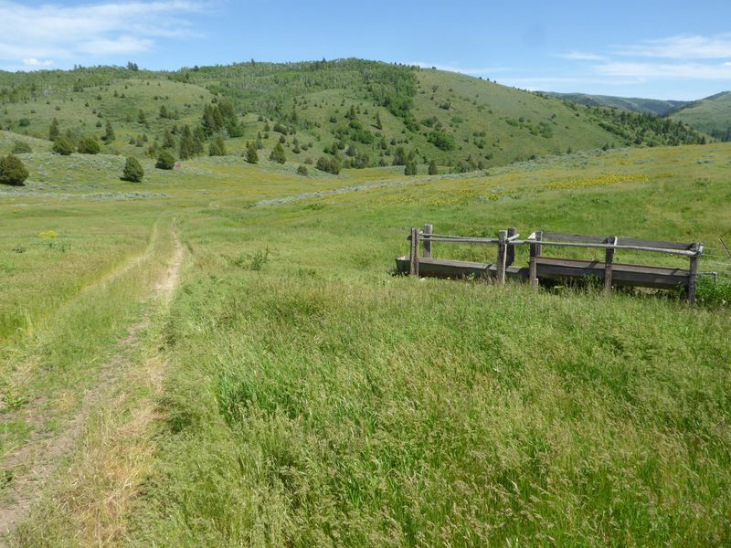
| No water in Little Cottonwood Spring trough (where jeep road ends and Little Cottonwood Canyon Trail begins) | |||
 |
|||
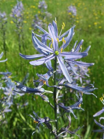
| Blue camas | |||
 |
 |
||
| Sun cups | Bigleaf balsamroot | ||
 |
 |
||
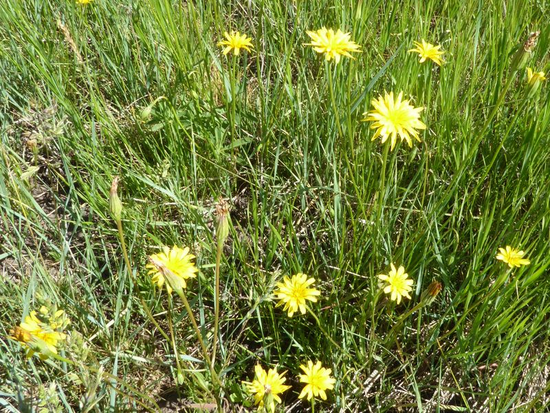
| American bistort and blue camas | Mountain dandelion | ||
 |
 |
||
| Wild hyacinth | Woodland star | ||
 |
 |
||
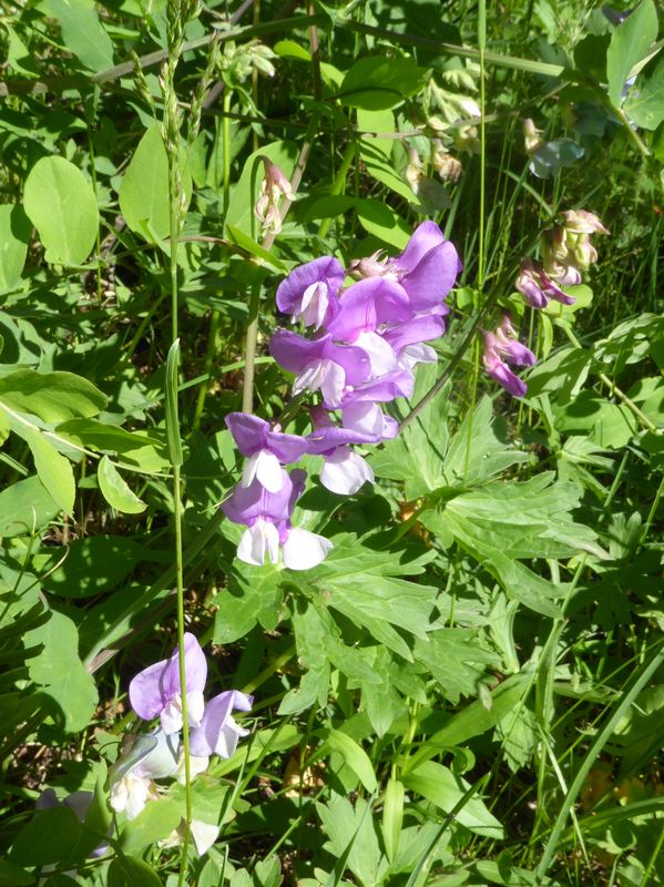
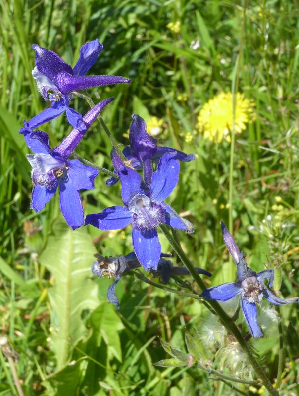
| Wild sweet pea | Larkspur | ||
 |
 |
 |
 |
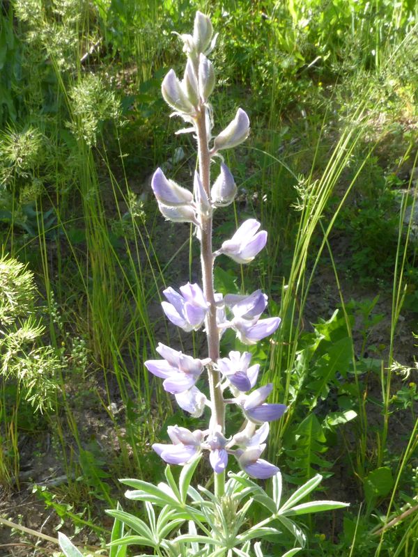
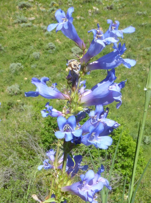
| Lupine | Blue camas | Wasatch penstemon | Scarlet gilia |
 |
 |
||
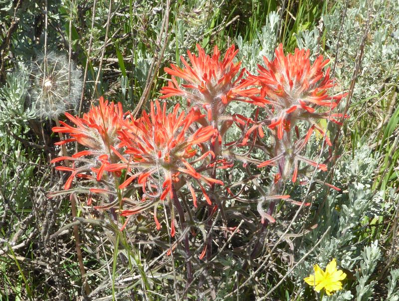
| Indian paintbrush | Death camas | ||
 |
 |
||
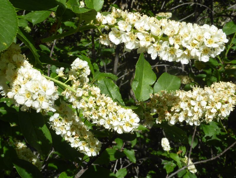
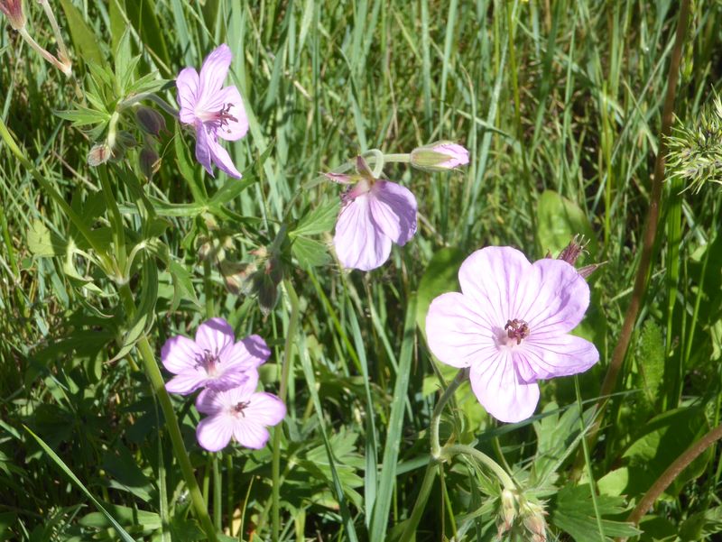
| Chokecherry | Sticky geranium | ||
 |
 |
||
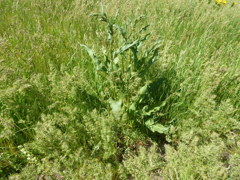
| Range weeds like curly dock and bulbous bluegrass (left) and black medic (right) show the affects of grazing | |||
 |
|||
| Our GPS track shows about 6.5 miles and 1100 feet of ascent and descent | |||
You can look at our route using: Google Earth, the various map and aerial views of Google Maps or download our GPS file. |
|||