
Home
Logan Canyon River Trail, 26 April, 2026
Mad dogs and Cache Hikers, out in the pouring rain . . .
Well, there were a few dogs on the trail, luckily more wet than mad, and five hikers who showed up on this soggy morning. However, the planned hike up Little Cottonwood Creek and down the Maughan drainage didn’t seem like a good idea, as the clay-laden soils in that area form an especially sticky, slippery, and overall nasty variety of mud.
So we elected to walk up the graveled, non-muddy River Trail at the mouth of Logan Canyon instead. We started below Stokes Nature Center and walked for about 2.4 miles before turning around at the signed junction with the Spring Hollow Trail.
The rain was never fierce but it was steady, and it formed numerous puddles in the trail. A few early-season flowers were out, including some fading but still blooming Maguire’s primrose, narrowleaf wild parsley (Musineon lineare), Oregon grape, Clematis, Gray’s biscuitroot and fernleaf biscuitroot, bluebells, arrowleaf balsamroot, and fairybells.
It seems ironic that even though we had a record-breaking dry, warm winter, the first hike of the summer season was so wet.
Trip Summary:
- Five hikers: Teresa, Catherine, Lin, Jacob, and Laurel (leader)
- Started hiking around 8:25 and were back to the cars just after 10:30
- Temperature in the 40s, with steady but light rain
- Hiked from the mouth of Logan Canyon up the River Trail for 2.4 miles, turned around at signed junction with Spring Hollow Trail, with an elevation gain of about 300 feet
Thanks
to Laurel for the narrative and photos, and Teresa for
photos and GPS data.
 |
|||
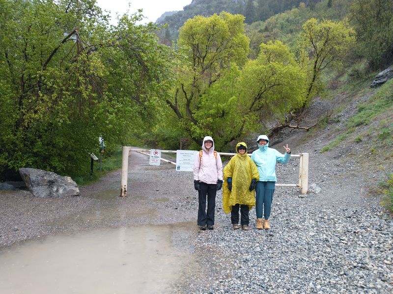
| The trailhead
near Stokes Nature Center |
|||
 |
|||
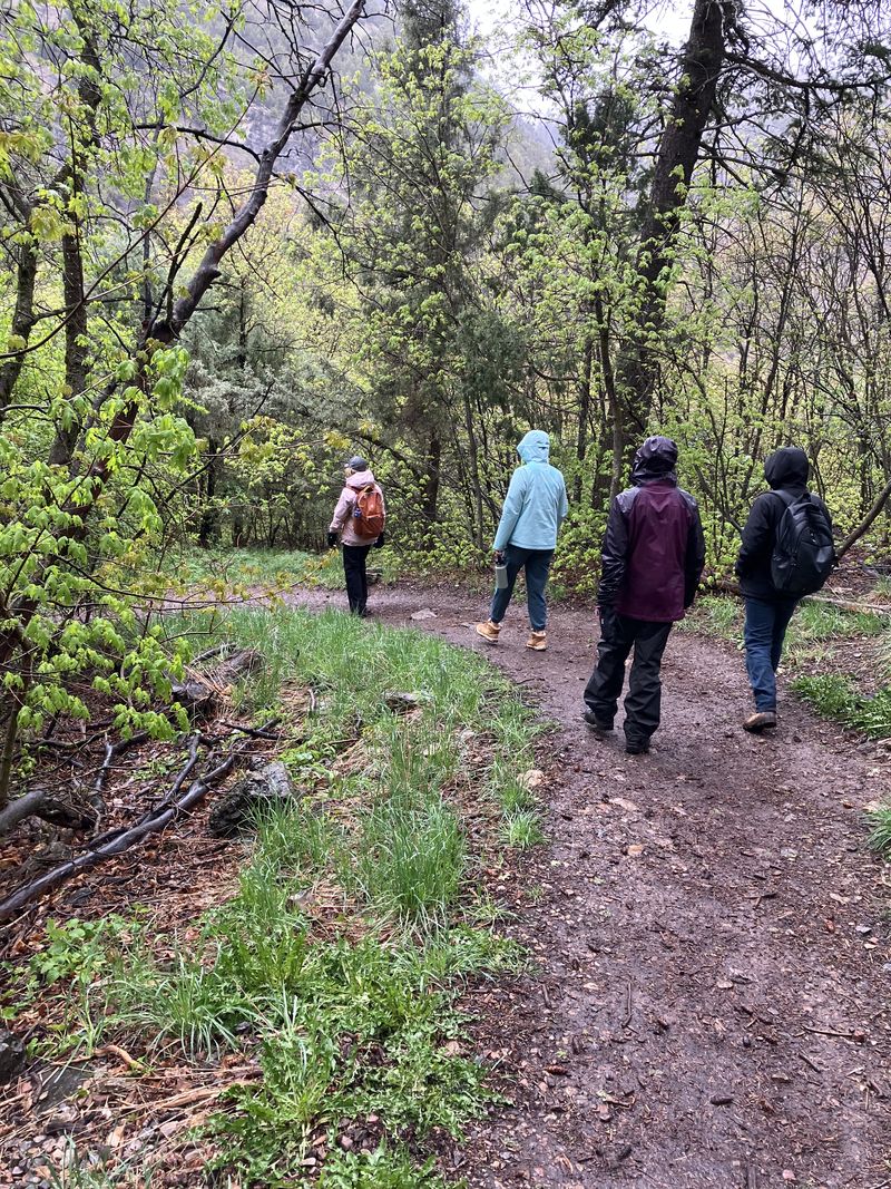
| Hiking on the River Trail | |||
 |
|||
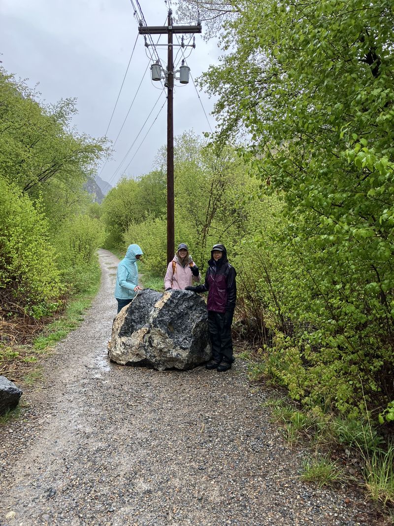
| This boulder
rolled down onto the trail at least a couple of
weeks before |
|||
 |
|||
|
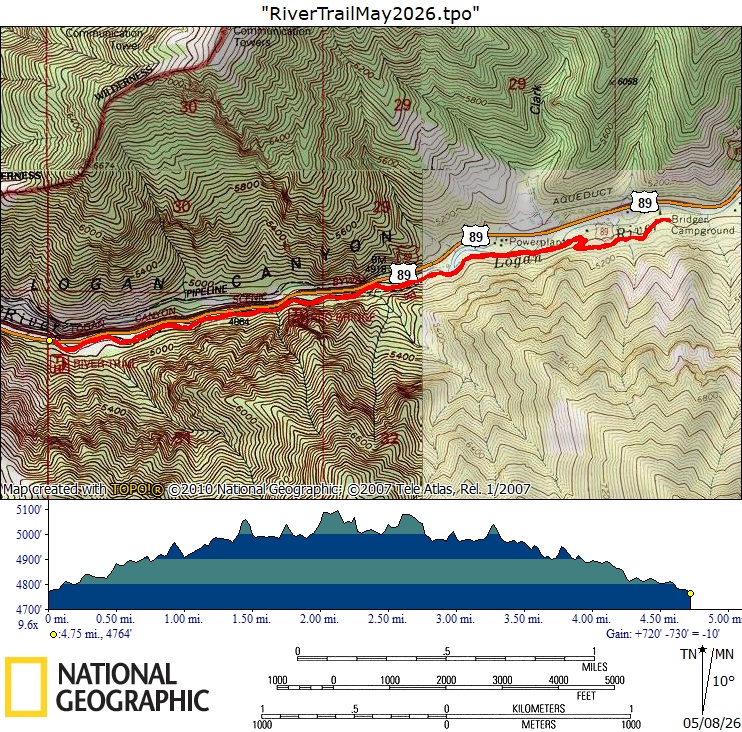
Our GPS track shows about 4.8 miles and
300 feet of ascent.
You can look at our route using Google
Earth or download our GPS fileLogan_Canyon_River_Walk.gpx.
|
|||