
Home
Old Sardine Road, 25 May, 2025
Something unusual must have been in the air on this fine Memorial Day weekend, as twenty-seven people and one dog turned out for this hike, a record number for any Cache Hikers outing.
This was a good hike to accommodate our numbers, since we walked on a road the whole way and there were no junctions where someone could be led astray. The weather was quite benign as well, starting out in the 60s and reaching the low 70s at the end, with only a few decorative clouds over the mountains. We enjoyed the great views, spring green hillsides, and scattered wildflowers.
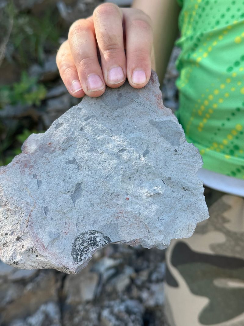
We walked to a fence across the road where we looked down on the noisy Highway 89/91 below, then turned back and found a shady spot for a snack break. Some hikers found fossils in the limestone outcroppings along the last half mile or so of road.
On the return trip eight hikers took an alternative route where they encountered even more wildflowers.
David shared a YouTube link to a video of our hike.
Trip Summary:
- Twenty-seven hikers and one dog: Matt, Kiah, Dave P., Kathy, Susan, Donna, Brent L., Ralph, David, Michelle, Robert, Anna, Mike, Ruth, Young, Nancy, Jim, Linda, Sue, Dave W., Jane, Christine, Teresa, Kamren, Brent J., Hiro, and Laurel (leader), plus the venerable Zinnia dog
- Drove 14 miles to the trailhead near the Mount Sterling Recreation Camp
- Started hiking at 8:40, snack break from about 10:20 to 10:45, back at the trailhead before noon
- Temperature in the 60s to low 70s under clear skies, with a few clouds in the distance toward the end
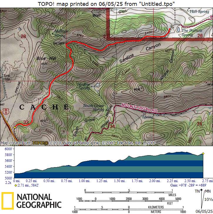
- Hiked 5.4 miles out and back, with 700 feet of very gradual ascent
Thanks
to Laurel for the narrative and photos, Jane and Brent
L for photos, and Dave W and Ralph for photos and GPS
data.
 |
 |
||
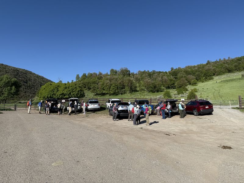
| We carpooled to accommodate the
limited parking |
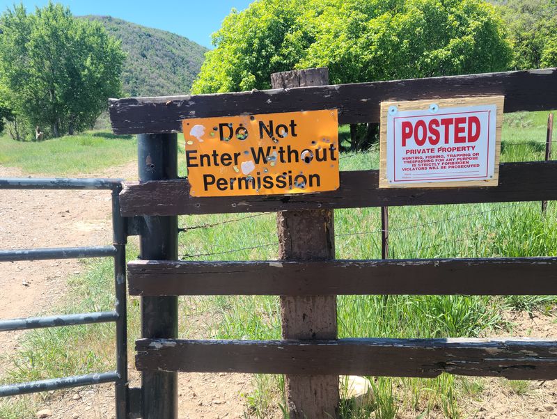
The old road is public property but
signs imply otherwise |
||
 |
|||
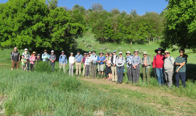
| Almost everyone made it into this trailhead photo | |||
 |
 |
||
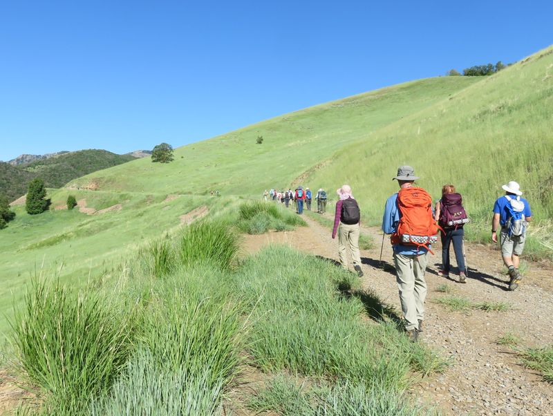
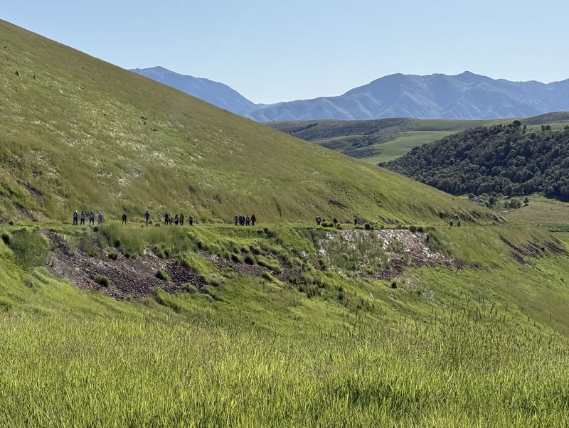
| Hikers formed
a long line as they ascended the old road |
|||
 |
 |
||
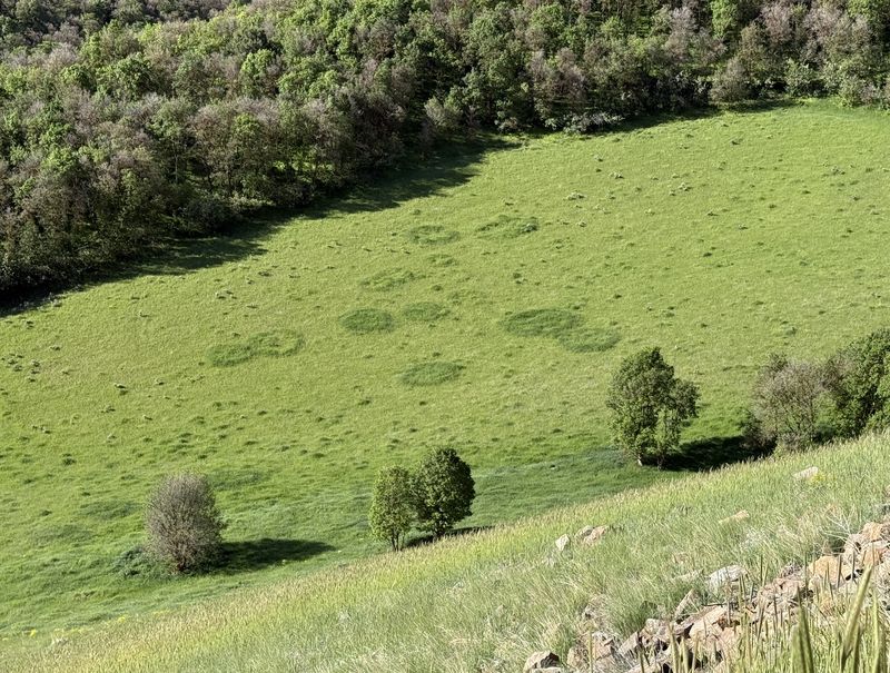
| The field below us had "fairy rings" |
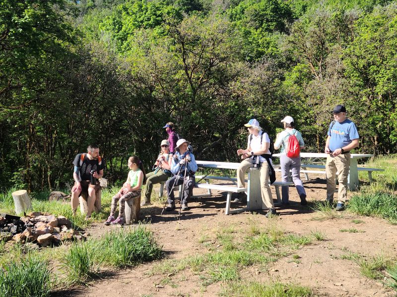
There was an old rest area with new
tables |
||
 |
|||
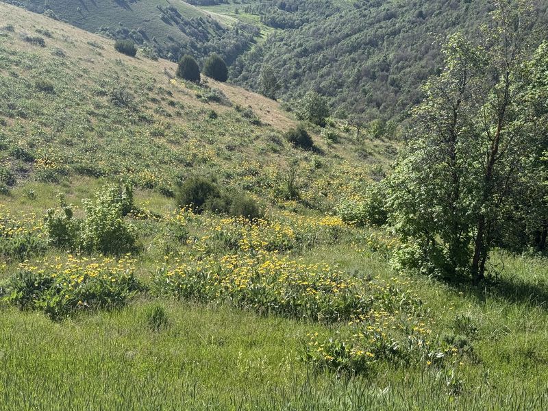
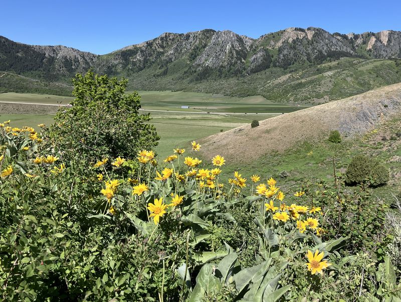
| We saw wildflower-covered slopes | |||
 |
 |
||
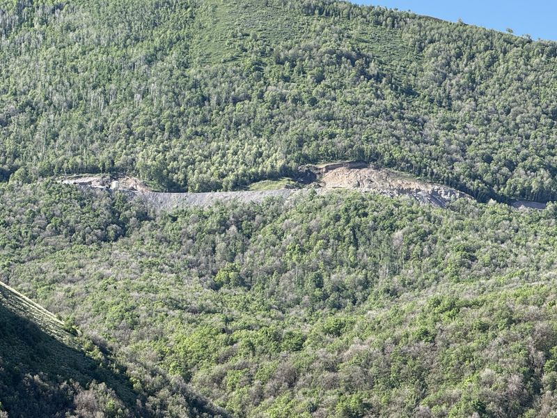
| Looking south to the Pisgah Stone
Products quarry |
An old stock pond near the top of Sardine Canyon | ||
 |
|||
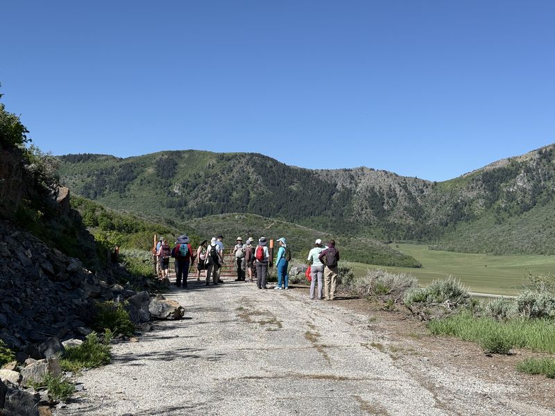
| We eventually
arrived at a locked gate |
|||
 |
|||
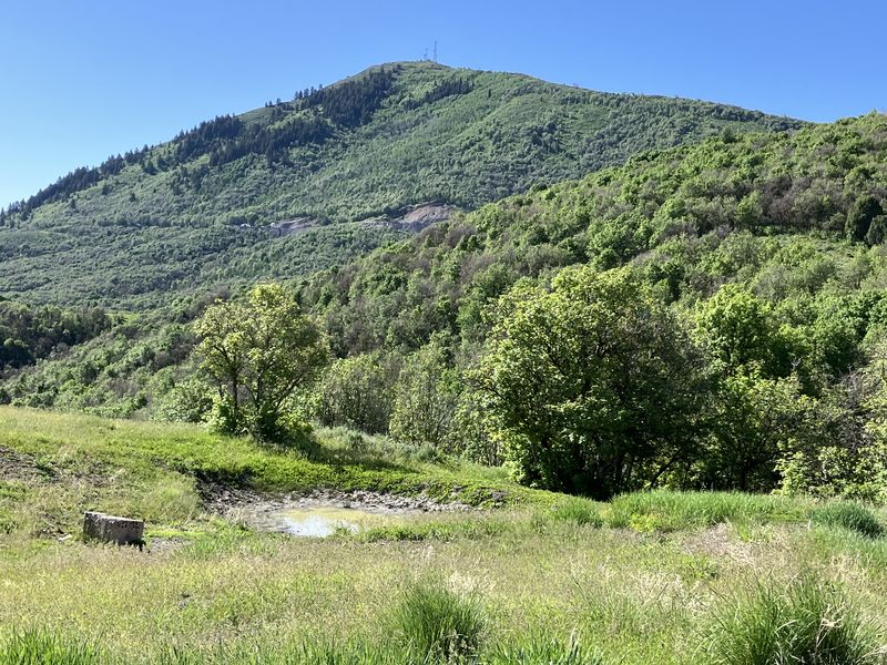
| Looking over
Dry Lake in Wellsville Canyon |
|||
 |
|||
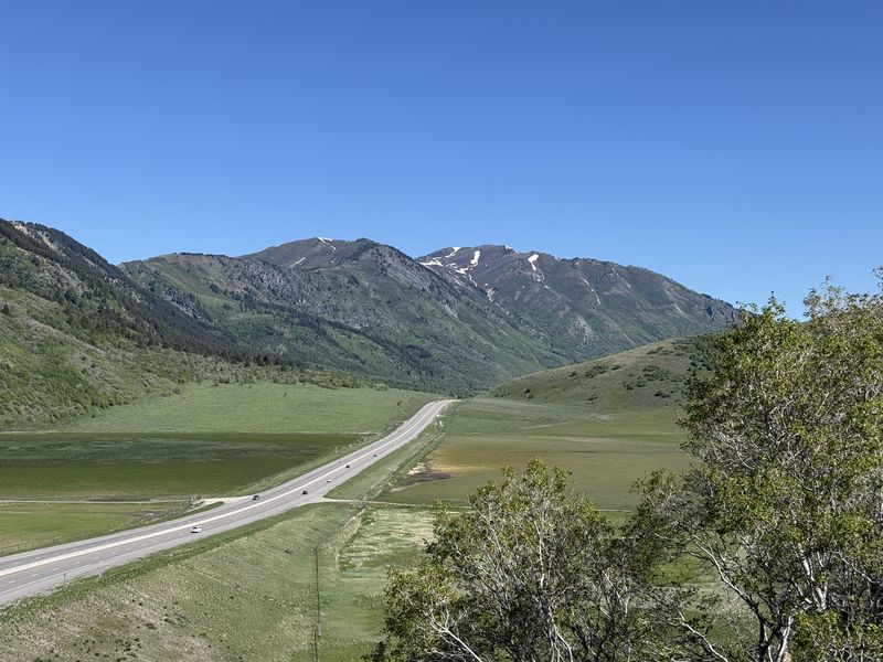
| A view of upper Wellsville Canyon with a noisy highway 89/91 | |||
 |
|||
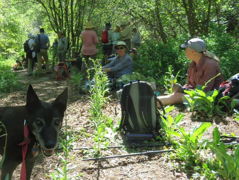
| Enjoying a
snack break in a shady spot |
|||
 |
 |
||
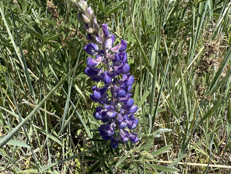
| Lupine |
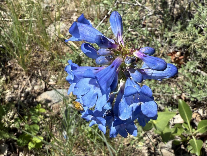
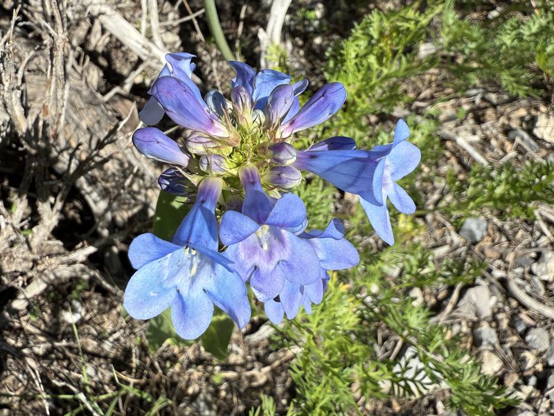
Penstemon |
||
 |
 |
||
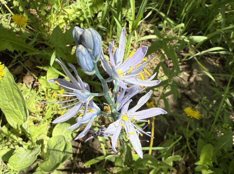
| Blue camas? |
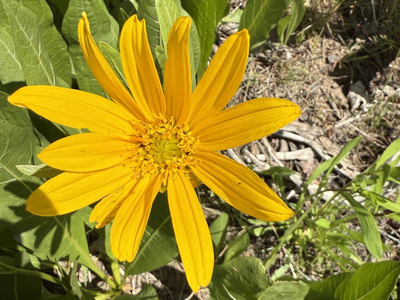
Mule ears |
||
 |
 |
||
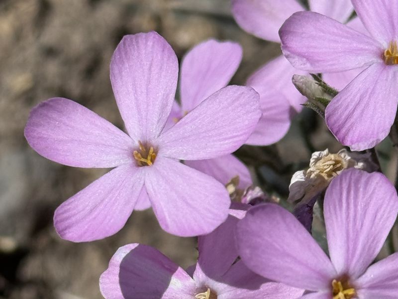
| Long-leaved Phlox |
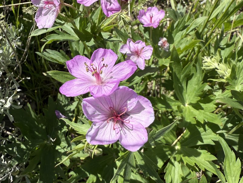
Sticky Geranium |
||
 |
 |
||
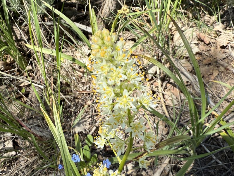
| Death camas |
Waterleaf |
||
 |
 |
||
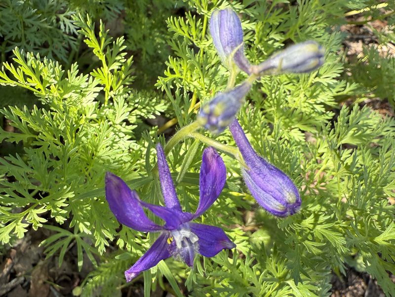
| Larkspur |
Wild hyacinth (Tritelia) |
||
 |
 |
||
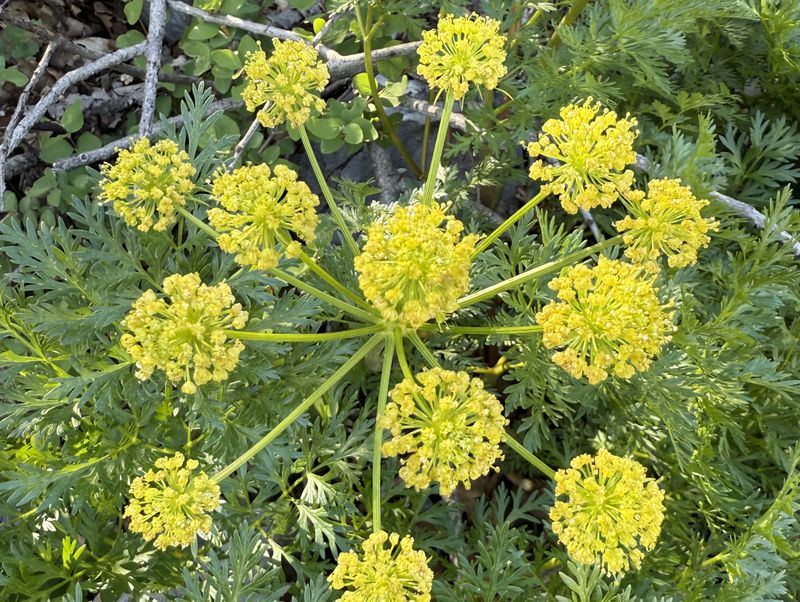
| Fernleaf biscuit root |
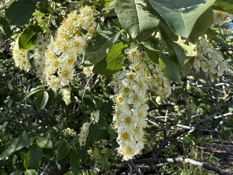
Chokecherry |
||
 |
 |
||
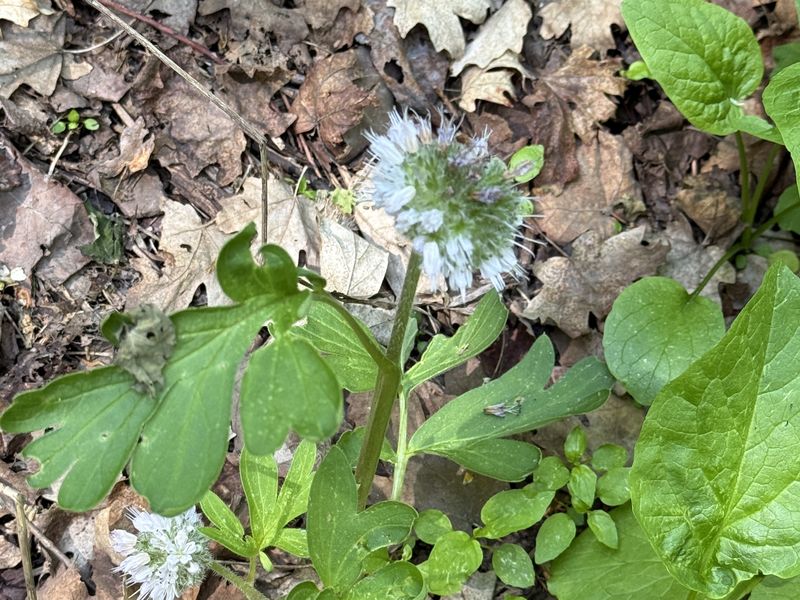
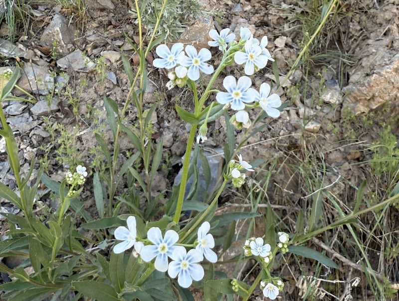
| Stickseed |
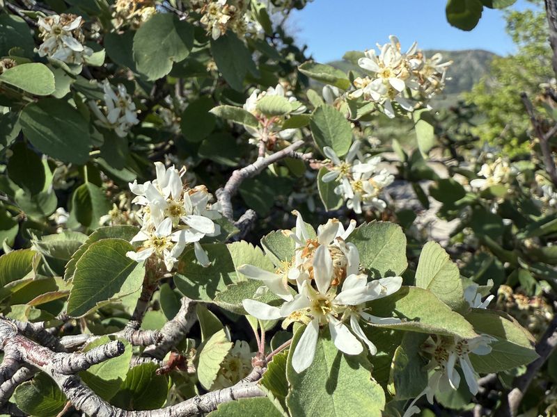
Serviceberry |
||
 |
 |
||
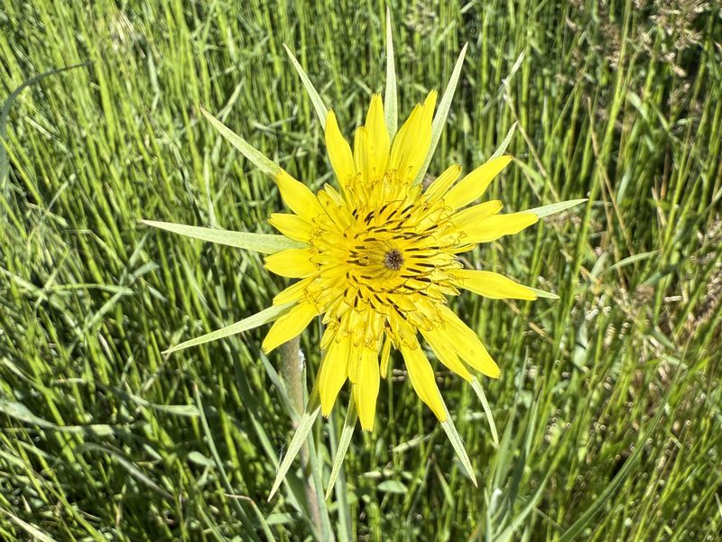
| Western salsify |
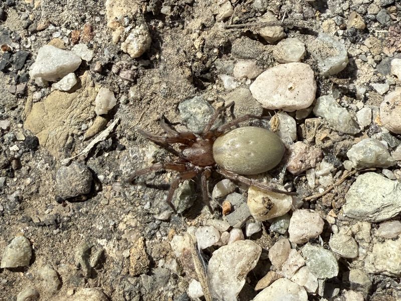
Spider |
||
 |
 |
||
| Fossil |
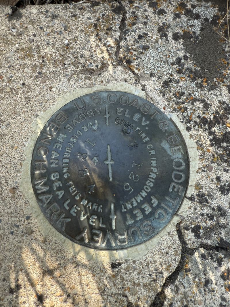
Benchmark in an old culvert (link) |
||
 |
|||
| The old road is public property all
the way to the end |
|||
 |
|||
|
We hiked about 5.4 miles
with 700 feet of ascent.
You can look at our route using Google
Earth or download our GPS file.
|
|||