Home
Sink Hollow Ski/Snowshoe, 9 January 2022
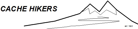
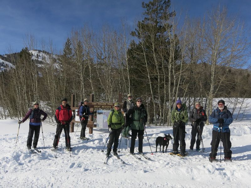
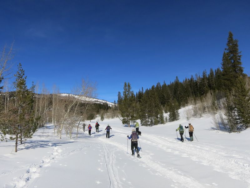
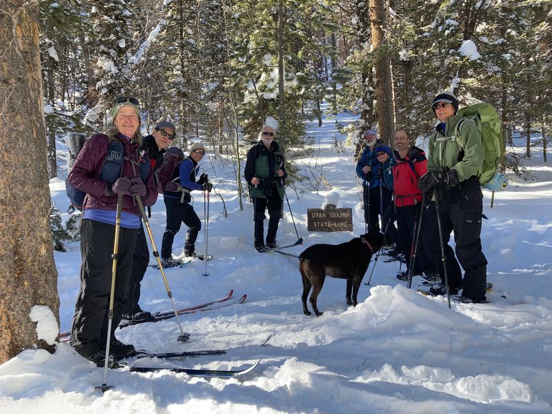
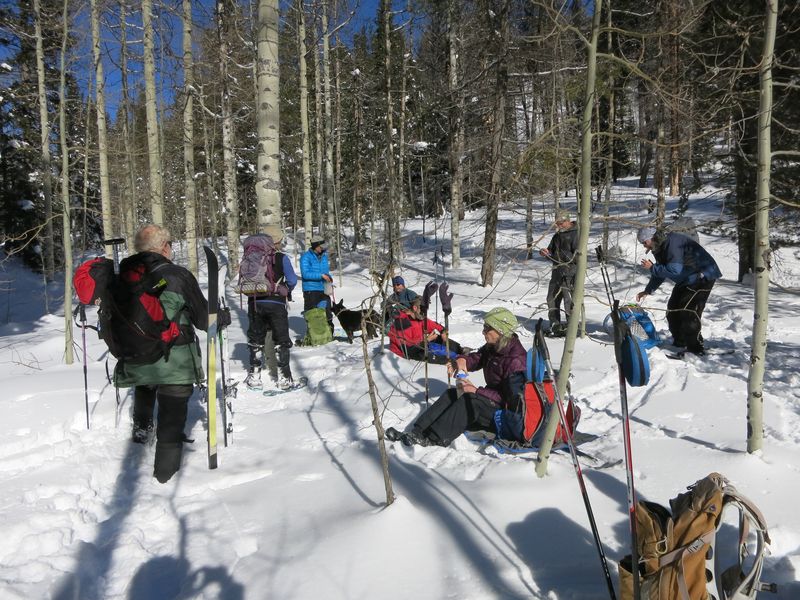
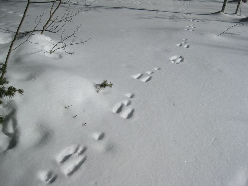
A group of 10 skiers and snowshoers left Smith’s Marketplace at 10:05 a.m. and carpooled up Logan Canyon, arriving at the trailhead parking lot near Beaver Mountain Ski Area at 10:45 a.m. We started on the trail at 11:00 a.m. The main trail, all the way to the Idaho state line (turn around point), had been heavily used by snowmobiles, leaving a rough, rutted surface in many sections. Settled powder on either side of the trail provided more favorable snow conditions for skiers. We arrived at the Idaho state line at 12:25 pm., assembled for the traditional photo, and skied/snowshoed back to the sink for lunch, starting at 12:30 p.m. After a half-hour lunch break, we headed back to the trailhead, arriving at 2:10 p.m. All along the trail through mixed lodgepole pine, firs and aspen, there were abundant snowshoe hare and ermine tracks, but no wildlife sightings. On the way back down Logan Canyon, we saw 3 moose (a cow and 2 juveniles) along the highway and a giant snowman (~20 feet tall) near the Tony Grove turnoff.
Trip Summary:
- 10 skiers/snowshoers: Susan, Brent, Jessie, Dave P., Jane, Dave W., Teresa, Ralph, Laurel (and her dog Zinnia), and Chris (leader).
- Drove 29 miles to Sink Hollow Winter Trailhead near Beaver Mountain Ski Area.
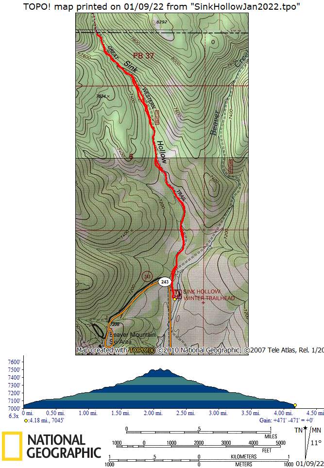
- 4.2 miles round trip through forested terrain; about 500 feet elevation gain.
- Bluebird day, little to no wind, and pleasant temperatures.
Thanks to Chris for the narrative and photos, Dave P. and Jane for photos and Dave W. for photos and GPS data.
 |
||
| At the Sink
Hollow Trailhead |
||
 |
 |
|
| New snow and
sunny skies on the Sink Hollow trail |
||
 |
||
| At the Idaho border | ||
 |
||
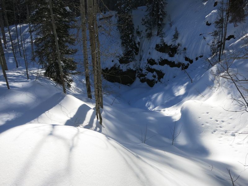
| The Sink Hollow sink, when the creek is flowing water drains into a cave at the bottom | ||
 |
||
| Lunch in a
sunny spot near the sink |
||
 |
 |
|
| Snowshoe hare tracks |
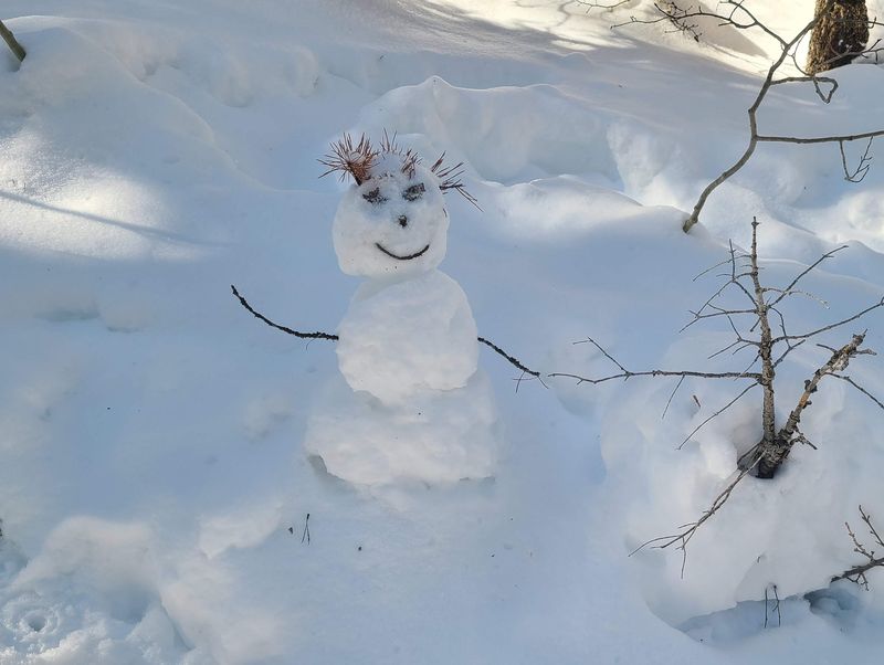
A snow-person was hanging out at the Idaho border | |
 |
||
|
Our GPS track shows about 4.2
miles and 500 feet of ascent.
You can look at our route using Google Earth or download our GPS file. |
||