Home
Sink Hollow Ski/Snowshoe, 18January, 2026
Thirteen of us met at the Sink Hollow trailhead parking lot at 10:50 am. Three split off to snowshoe and ski the "Amblers’" route.
The ten of us destined for Sink Hollow set off around 11 am from the trailhead and headed north towards Sink Hollow and the Idaho border. It was a bluebird, sunny day with the snow conditions being icy and crunchy. The snow level was less than previous years and the wooden fence line at the beginning of the hike is normally not as visible, this year it was uncovered quite a bit. There were patches of exposed dirt near the beginning of the trail, but there was enough snow for snowshoes and cross country skis.
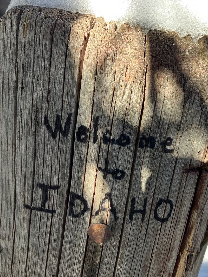
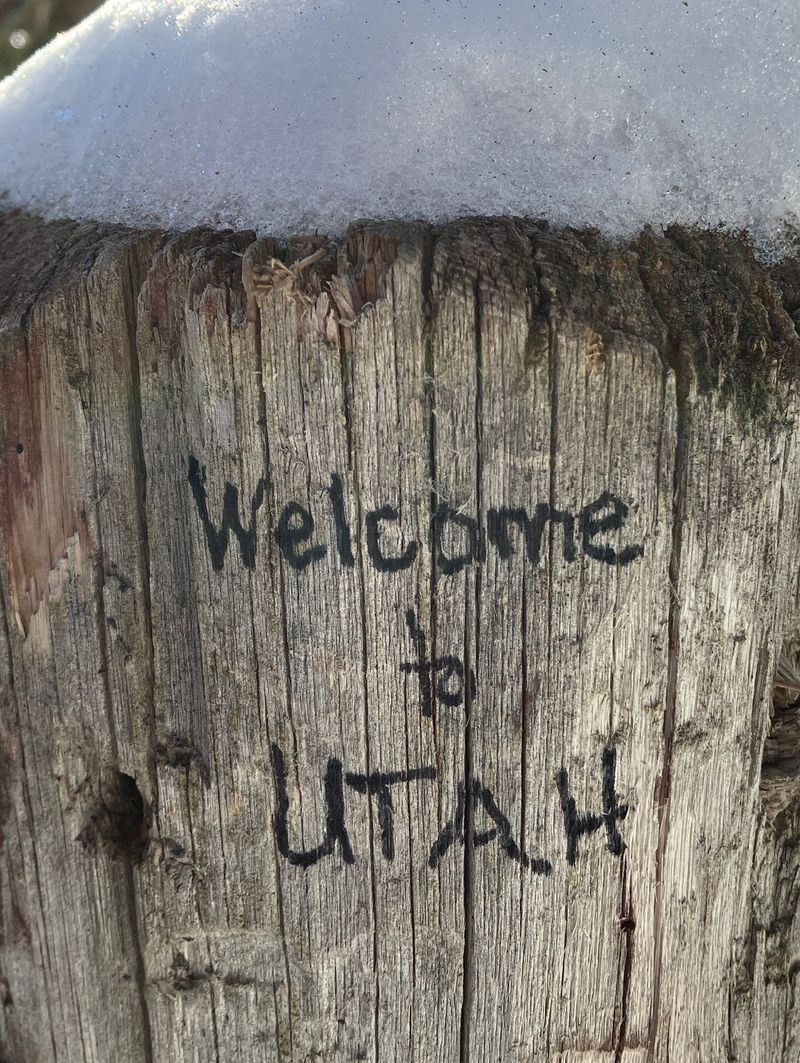
We passed the Sink Hollow lunch spot and proceeded up to the Idaho border, which was still missing the Idaho/Utah border wooden sign. We took a group photo and then returned to Sink Hollow, about 1/10 of a mile back down from the border.
It was 13:35 when we stopped for lunch next to Sink Hollow. We each chose a sunny spot, some sat, some stood and ate our lunch. It wasn't too cold and the sun felt nice.
Returning back from the lunch spot, the cross country skiers went off trail to find the best snow to ski down wherever possible. We made it back to the parking lot about 2:00 pm, having gone about 4.5 miles with 460 feet of elevation gain.
The "Amblers" made a couple of short, leisurely loops around the Beaver Bottoms cross-country ski track. They saw and heard a mountain chickadee, observed spots where a porcupine had lunched on pine tree branches and discussed the natural history of lodgepole and limber pines
See David's video.
Trip Summary:
- Hikers: David & Michelle (leaders), Jane, Dave P, Ralph, Susan, Brent L, Teresa, Deanna, and Brent J. Amblers: Dave W, Christine and Katie.
- Drove 29 miles up Logan Canyon to the Sink Hollow Winter Trailhead.
- Started out
about 10:50, arrived at the Idaho border about 12:30
and back at the trailhead about 2:00.
- Enjoyed clear skies, calm winds and and moderate temperatures.
- About 4.5 miles
with 460 feet of ascent/descent to the Idaho border
("hikers") and 1.5 miles around Beaver Bottoms
("amblers").
Thanks
to David for the narrative, photos, and GPS data,
MIchelle, Dave P and Jane for photos, and Ralph for
photos GPS data.
 |
|||
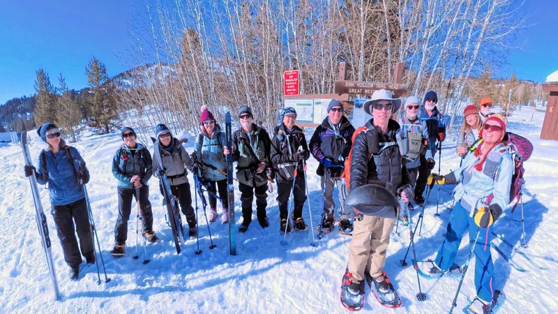
| Ready to start
out from the Sink Hollow Trailhead |
|||
 |
|||
| The State
wants to protect the groomed trail and the young
trees in the re-forested area |
|||
2026.jpg) |
|||
| Many
snowmobiles have had gone up the Sink Hollow Trail |
|||
2026.jpg) |
2026.jpg) |
||
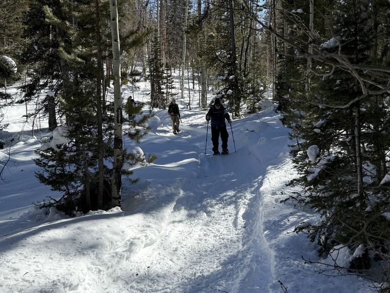
| Heading north, up the Sink Hollow
Trail |
Vehicles wider than 50 inches are not
allowed on the trail |
||
 |
2026.jpg) |
||
| Snowmobiles had packed the trail to
Idaho and beyond |
Lunch near the Sink |
||
 |
 |
||
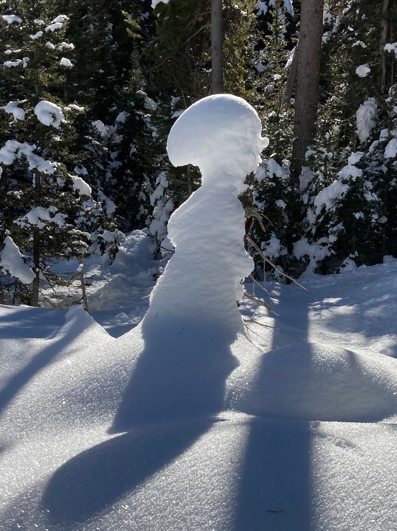
| A natural snow sculpture |
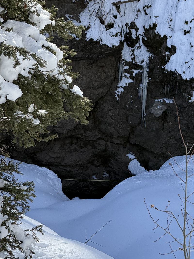
Looking down into the Sink |
||
    |
|||
| We labeled the
signpost because the border sign was missing |
|||
 |
|||
| Grouse tracks in the snow | |||
 |
|||
|
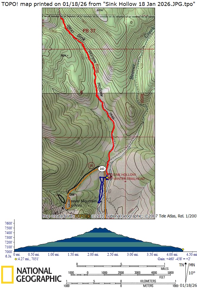
Our GPS track shows about 4.5 miles
and 500
feet
of ascent. The "amblers" (blue track) went
about 1.5 miles with 100 feet of ascent.
You can look at our route using Google Earth
or download our GPS file.
|
|||